North & Middle Fork of the Swan River
Distance
13.6 mi
Technical Rating
Difficult
Best Time
Summer, Fall
Trail Type
Full-Width Road
Accessible By
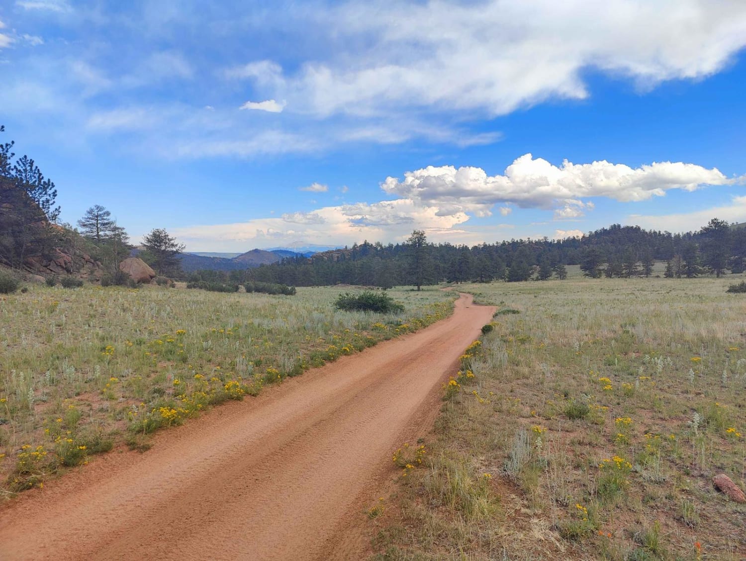
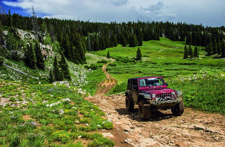
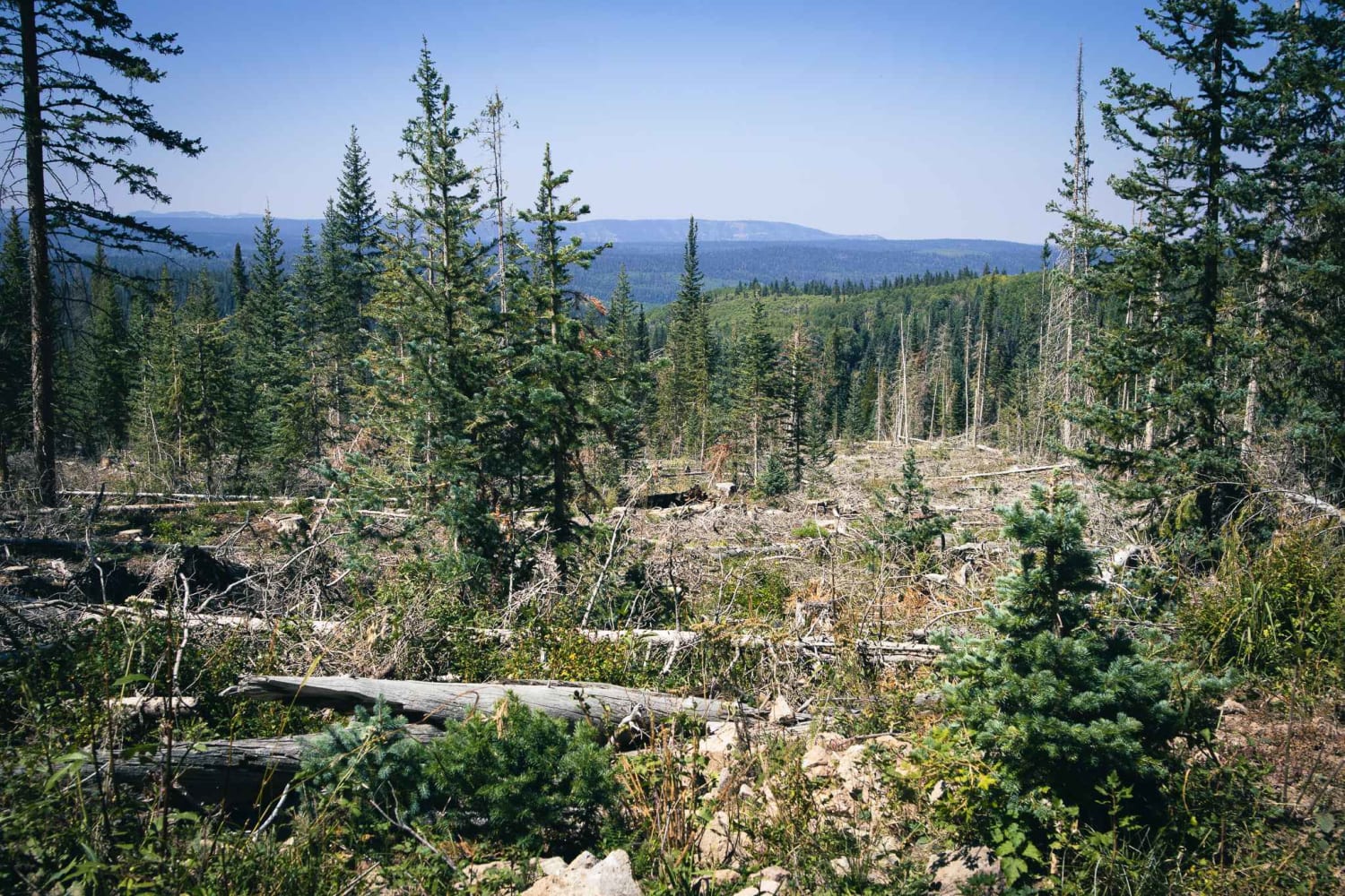
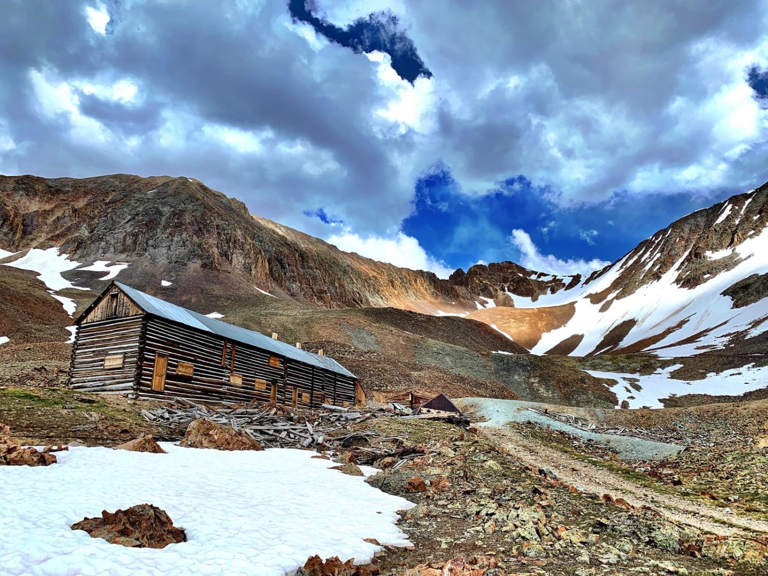
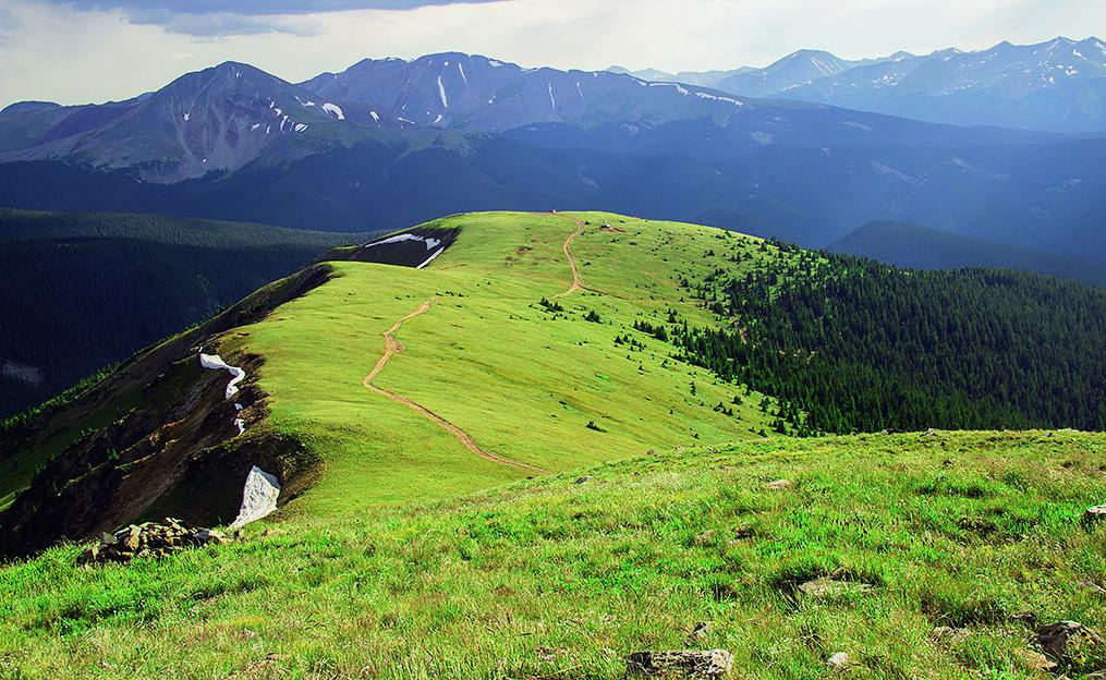
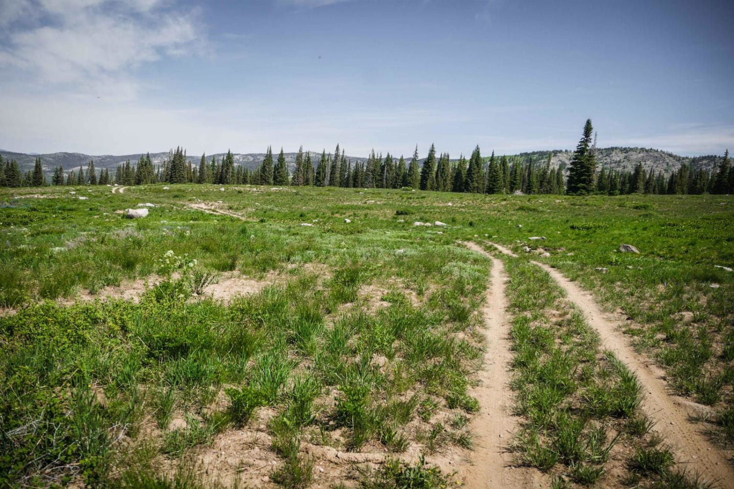
Trail Overview
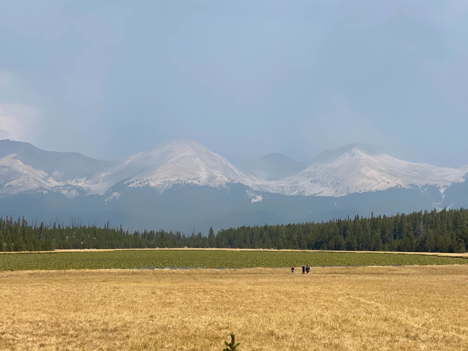
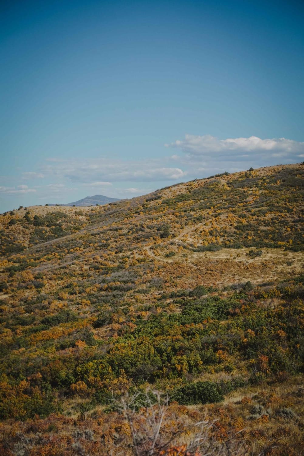
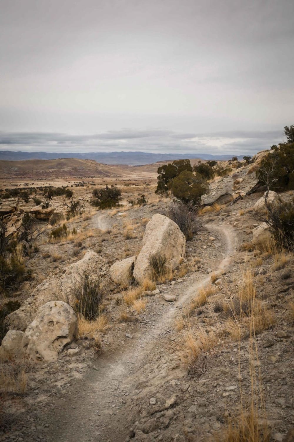
There are some cool ghost town ruins to see along this trail that ends up at the top of Wise Mountain. Once you clear the timberline, you'll be treated to some simply amazing views. The trail is open to unlicensed vehicles and is open from May 21 to November 22.
Weather
Status Reports
Mitch Milaitis
Oct 12, 2024
2019 Toyota Tacoma
Open
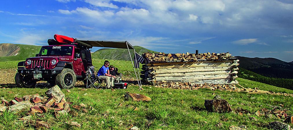
Finished up the circle. Started in Montezuma up Saint Johns then did the North and Middle Fork of the Swan River trail. Large majority of the trail is 4/10. But there are a few sections that are 6/10 and two that don't have an "easy" bypass. Lots of steep climbs, 4-high works, but 4-low makes life easy on the climbs.
I have a '19 Taco on Icon Suspension Stage 10 and 33 KO3s.
I never had issues but did use 4-Low. I may have not needed to, but I never had to try a line twice.
I went clockwise from Saint John's. I think it is near the Missouri gulch area, pretty real section. I went through no issues, but used 4-Low (Admittedly did a pretty good job hitting this line, surprised myself when I made it through first try no issues). Two other cars were there coming down it. 3rd Gen Taco Off Road (Stock except for 275s and rock sliders) used sliders a good bit to get through. 5th Gen 4Runner on 6112s, got his side pretty good (needed sliders).
I did not get any pics of the obstacles... My bad.
Matthew Mcfarland
Aug 23, 2024
4x4
Open
Normal
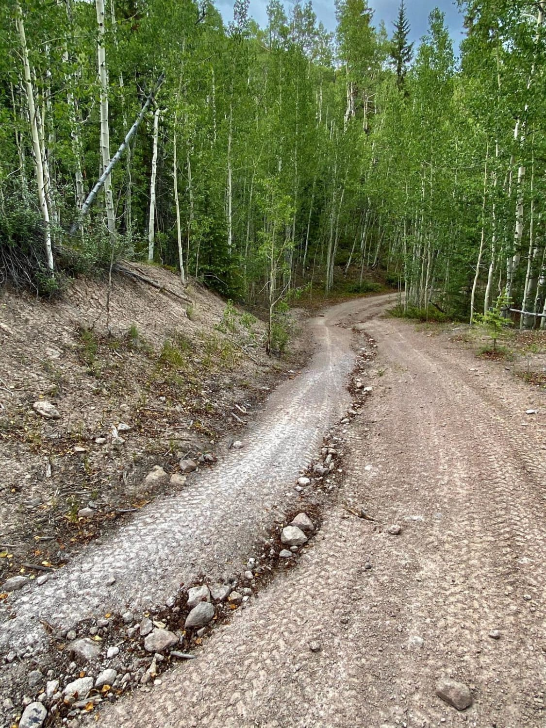
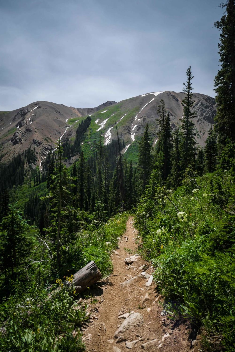
Fun trail, great views. Weather changes very quickly; went from fog and rain to sunny within 20 minutes. You go through a nice lush forest, then go on a ridge, then back through the forest. We saw a few elk or deer, no mountain goats. A few sus
A W
Aug 10, 2024
2017 Arctic Cat HDX 700
Open
Normal
Muddy/Wet
We did the North Fork up to Wise Mountain in a stock six man Arctic Cat UTV (i.e. not a lot of clearance compared to some of the RZRs). Had it in four wheel drive low full throttle for the part after Garibaldi Gulch. Engine struggled I think because of the altitude - but we made it! Did not try crossing over to Deer Creek or coming down the South Fork. Just turned around and went back.
Paul Roebuck
Aug 09, 2024
4x4
Open
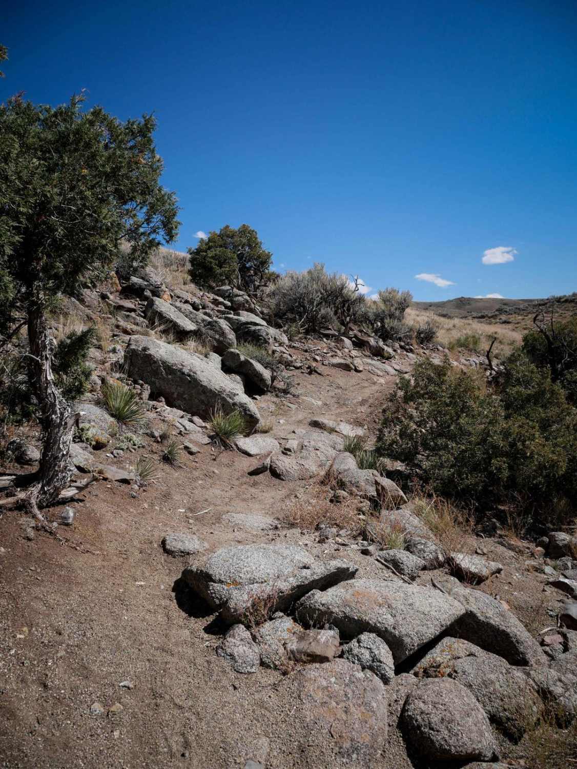
Great trail with awesome views. Few tight areas between trees but overall open. It does require high ground clearance in a few areas. One area going up has a few small areas of rock crawling that does require some skill. The rain started about 1/3 of the way in and made it more challenging but overall was a great ride. Give yourself time, it will take a couple hours. We ran across 5 Jeeps ahead of us and 1 Jeep and 1 motorcycle coming at us.
Go Farther
Try onX Offroad Elite for free for a week — no strings attached. Get access to thousands of off-road dirt trails and snowmobile trails across the nation. View your favorite zones in 3D. Send trails to friends. Start planning the trip of a lifetime now.
Nearby Trails
Hayden Archer Connector
Total Miles
0.8
Tech Rating
Easy
Best Time
Fa / Su