Maggie Gulch
Distance
4.2 mi
Technical Rating
Easy
Best Time
Spring, Summer, Fall
Trail Type
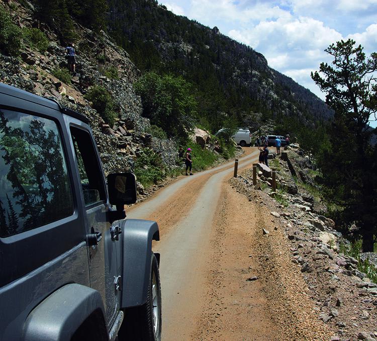
Full-Width Road
Accessible By
Trail Overview
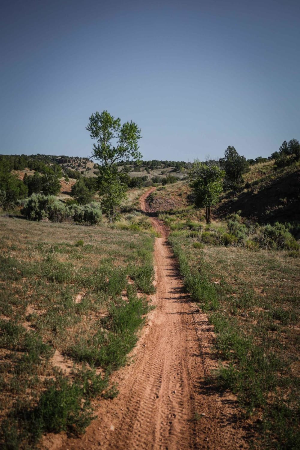
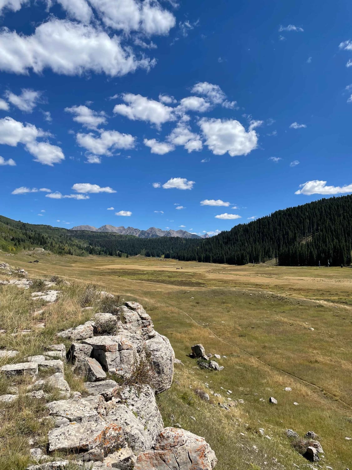
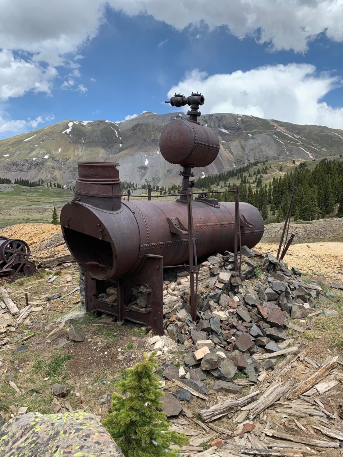
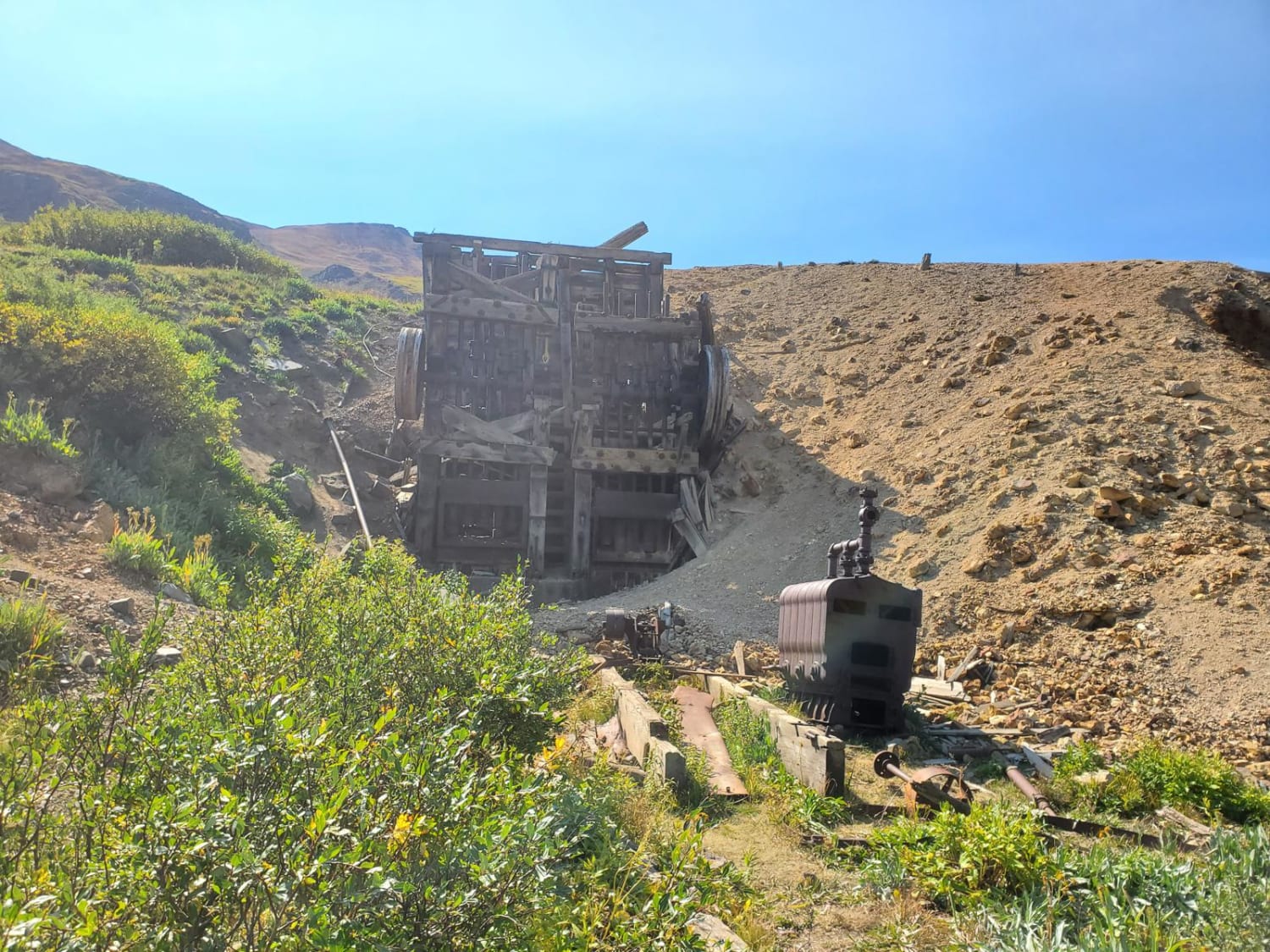
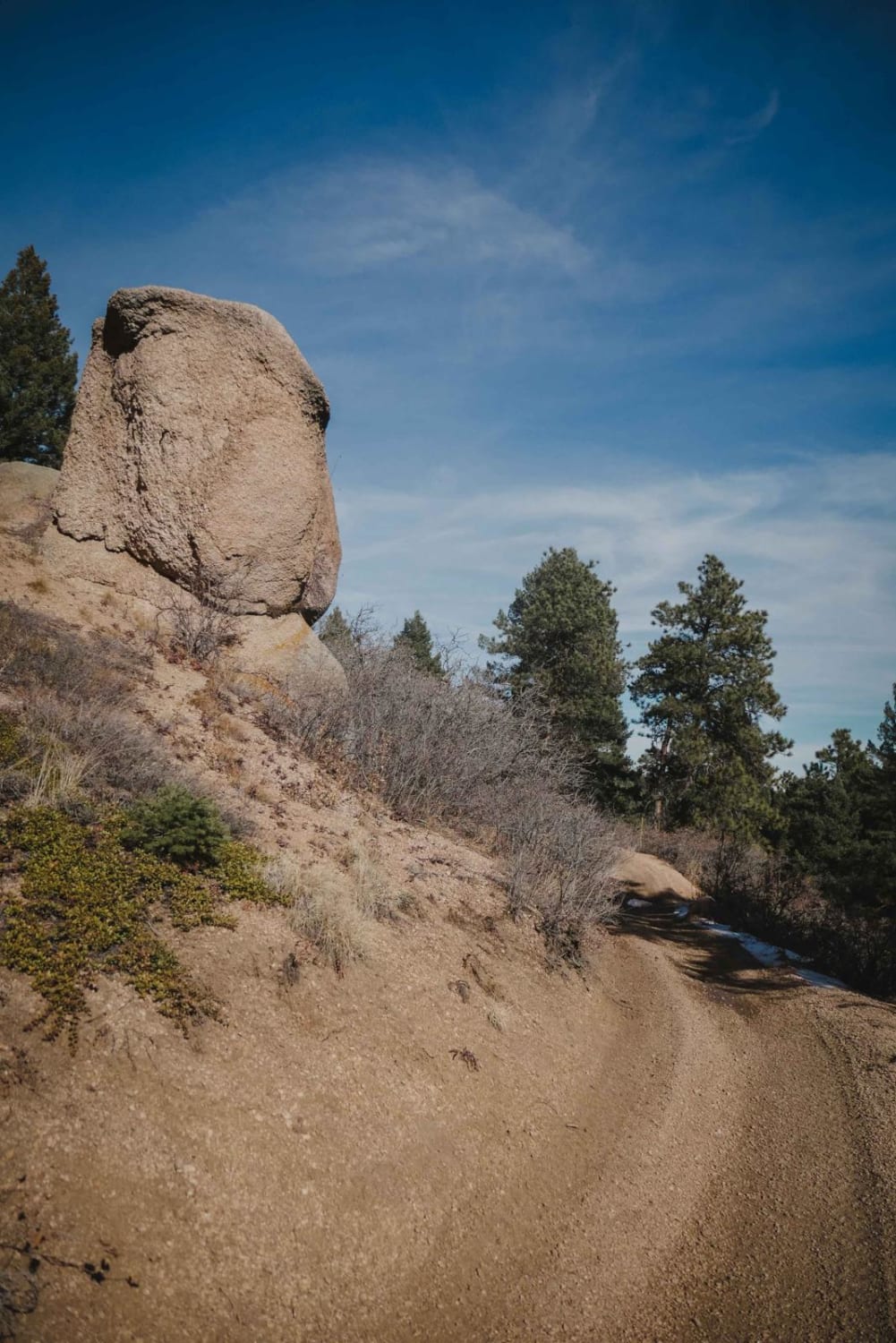
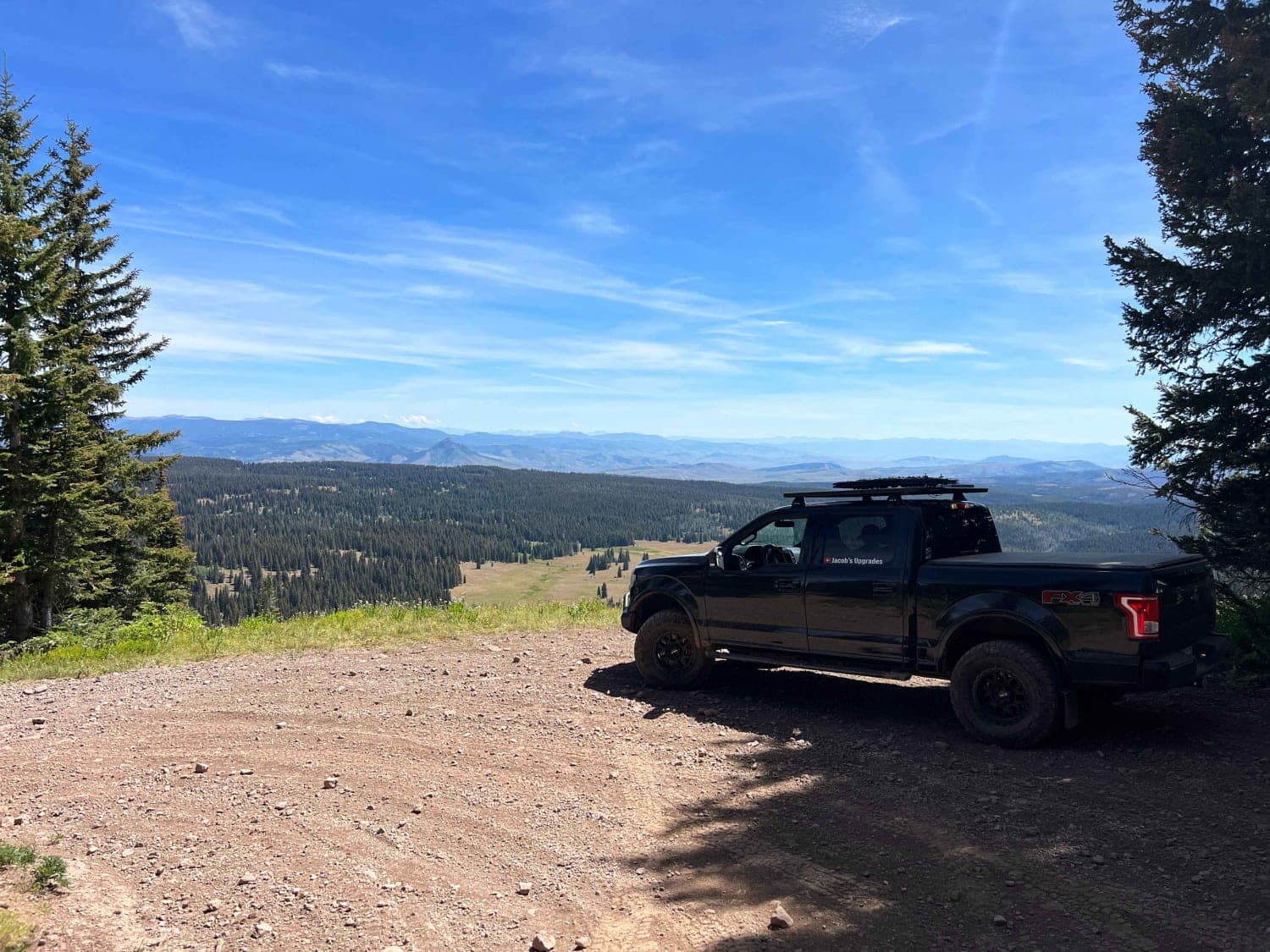
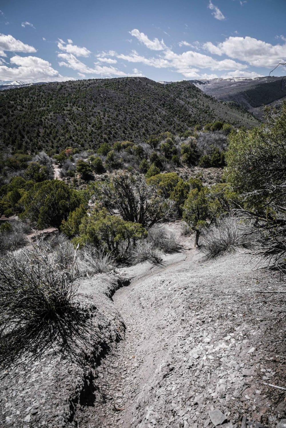
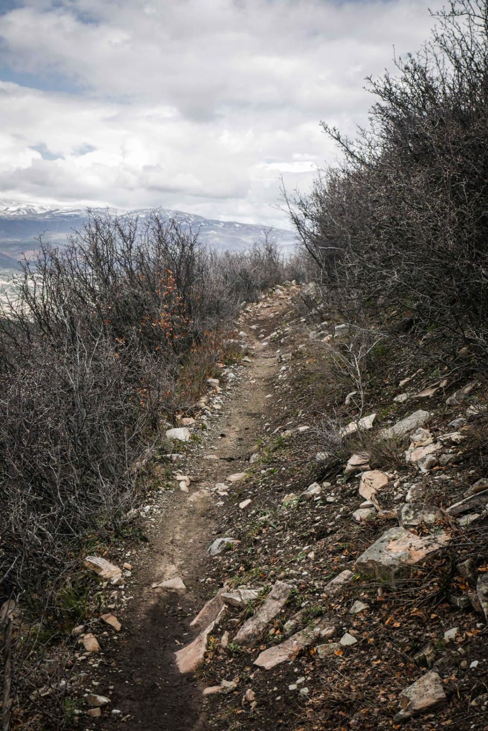
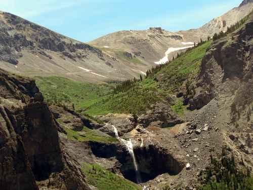
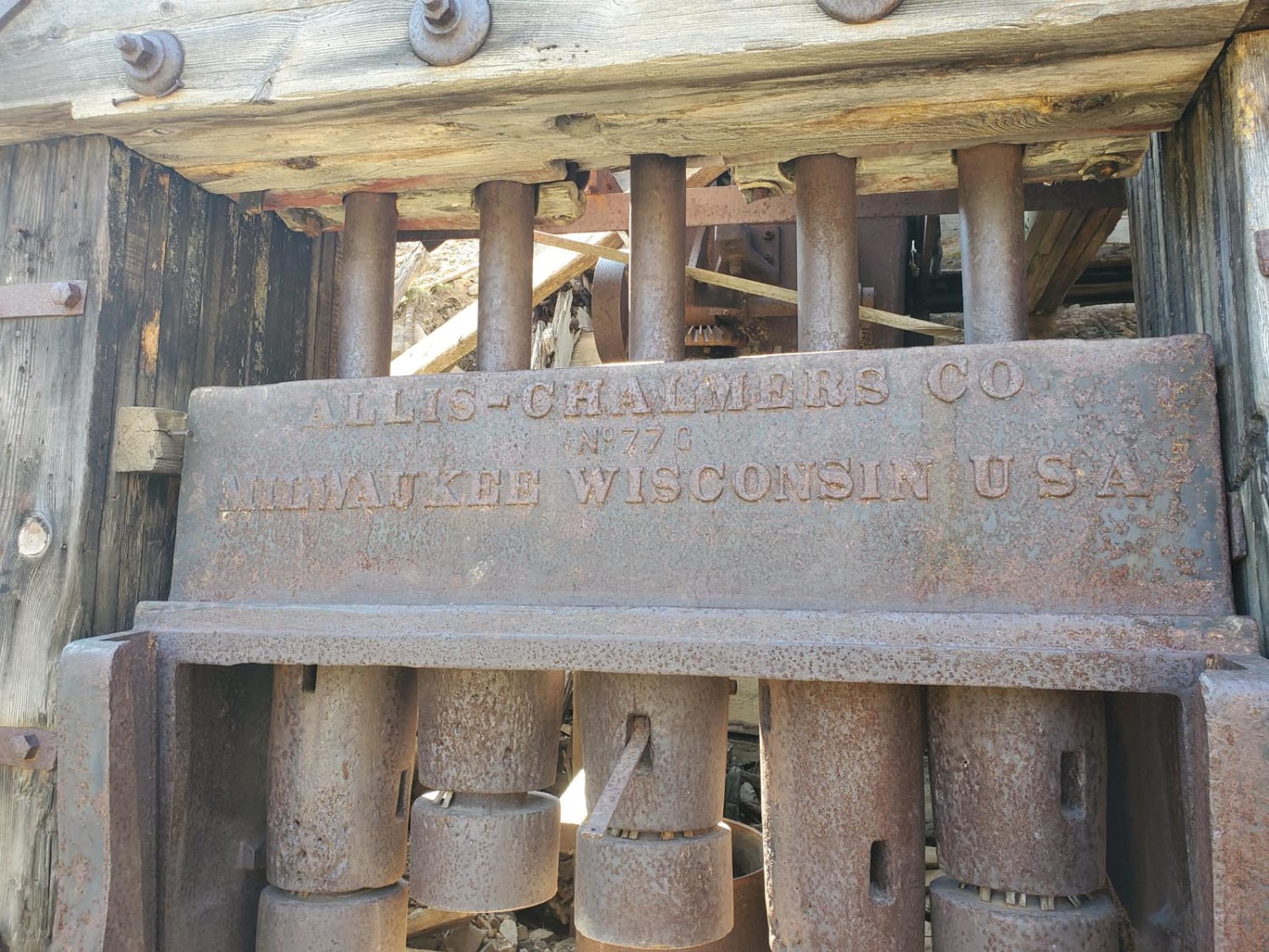
Short, easy trail that turns off from CR2 and ends at the remains of the Intersection Mill, built in the 1890s during the CO gold rush. It also connects to a network of hiking trails that include the Continental Divide trail and a short, but steep hike to Crystal Lake.
Weather
Status Reports
Aaron Careaga
Sep 01, 2023
SxS
Open
Normal
Go Farther
Try onX Offroad Elite for free for a week — no strings attached. Get access to thousands of off-road dirt trails and snowmobile trails across the nation. View your favorite zones in 3D. Send trails to friends. Start planning the trip of a lifetime now.
Nearby Trails
