312
Total Miles
1.4
Elevation
1,529.52 ft
Duration
0.5 Hours
Technical Rating
Best Time
Fall, Summer, Spring
Trail Overview
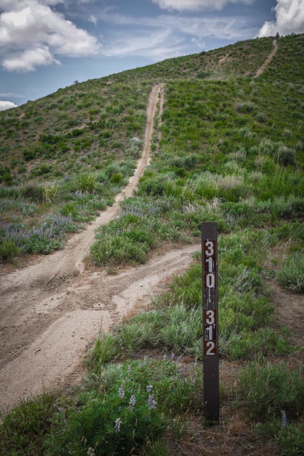
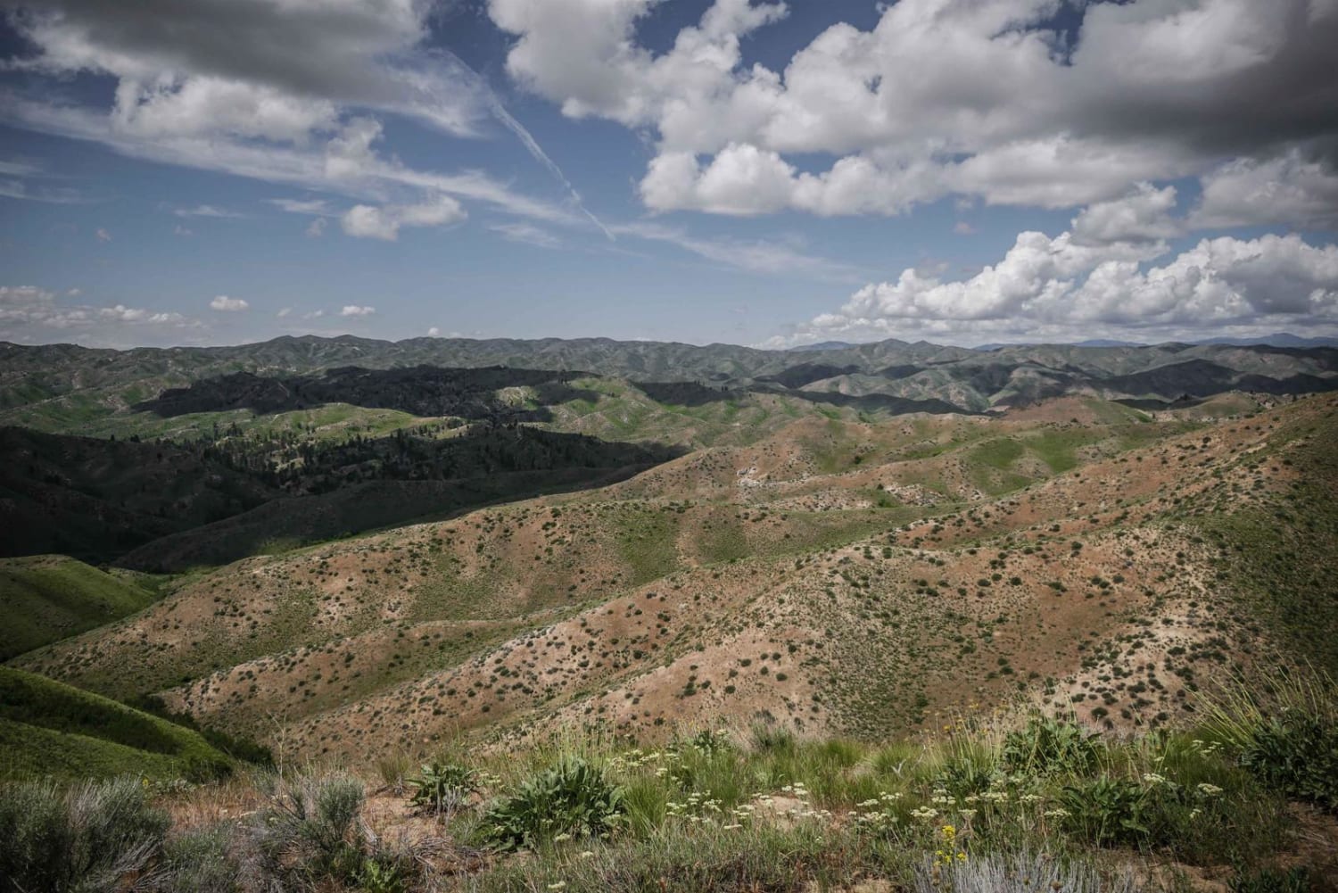
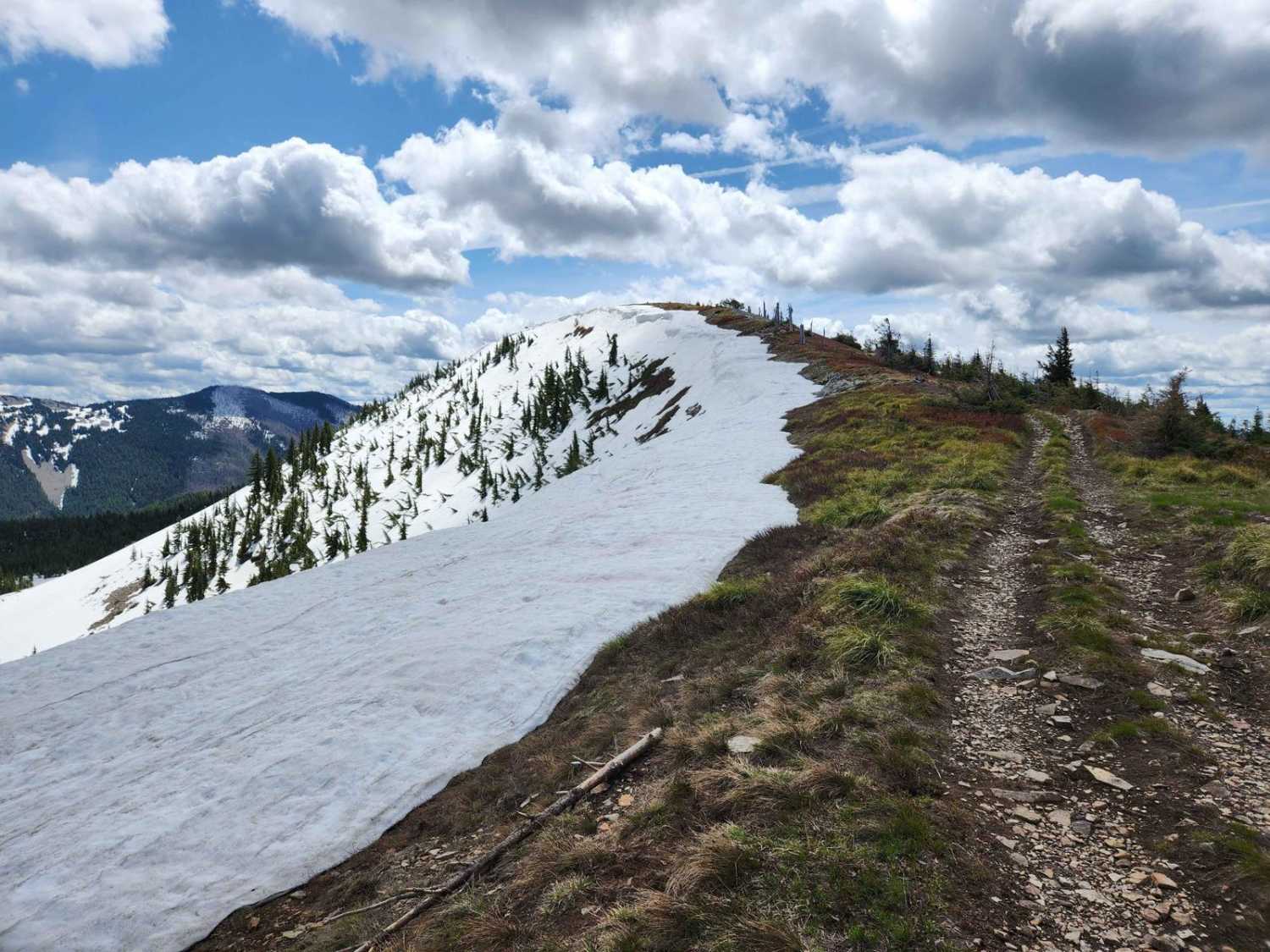
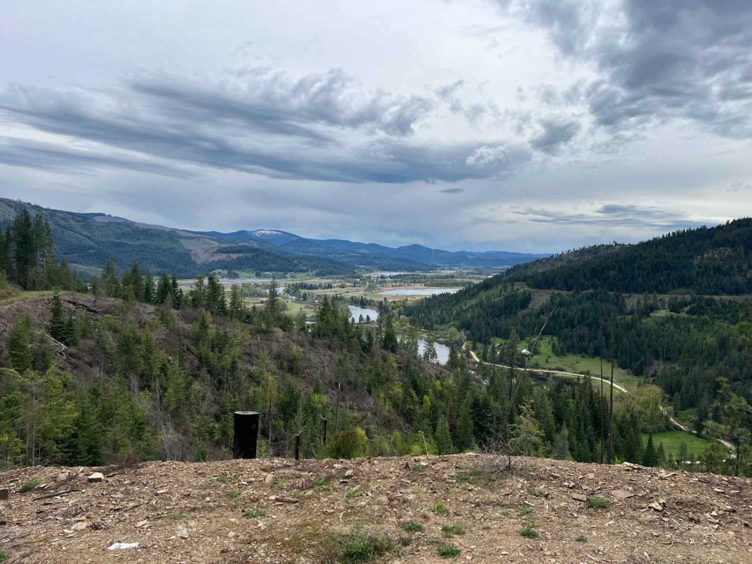
This short single track in the Danskin Trail System is a ridge line trail that goes over a series of rolling hills in this mountain range with lots of steep hill climbs and descents. It departs from #310 with a steep hill climb up to the top of a hill, then it downhills the rest of the way to #300. If going NE to SW, most of the trail is made up of big descents with flat sections in between. Some of the descents are quite steep, a bit rutted, with loose rock on the surface. The trail itself is easy because there are no rock obstacles, and it's pretty wide, but the steep descents add a challenge. They aren't too difficult, but you have to be comfortable with steep terrain. The dirt is soft and even a bit sandy, and there are a lot of whoops and brake bumps in the trail. It mostly goes through a wide open landscape on the top of rolling green hills in the Boise National Forest, with expansive views on the top of the ridgeline. There start to be more trees as you lose elevation towards trail #300. It loses 900 feet of elevation over 1.3 miles.
Photos of 312
Difficulty
This is an easy ridge line trail with steep hill climbs and descents.
Status Reports
Popular Trails
Dry Gulch Access

East Fork Big Creek
Kalarney Lake to 4th of July
The onX Offroad Difference
onX Offroad combines trail photos, descriptions, difficulty ratings, width restrictions, seasonality, and more in a user-friendly interface. Available on all devices, with offline access and full compatibility with CarPlay and Android Auto. Discover what you’re missing today!
