Bloom Peak Trail
Total Miles
30.5
Technical Rating
Best Time
Summer
Trail Type
High-Clearance 4x4 Trail
Accessible By
Trail Overview
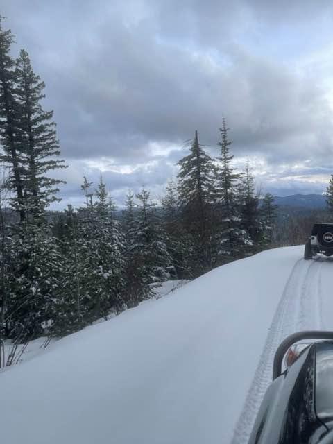
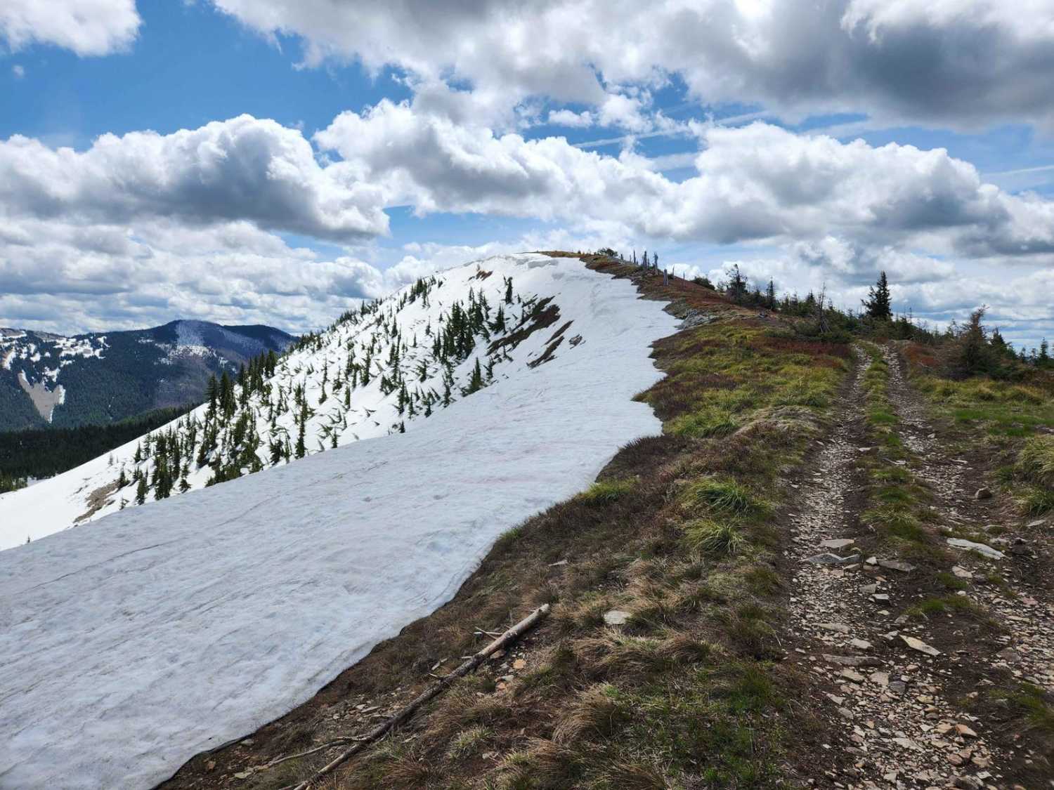
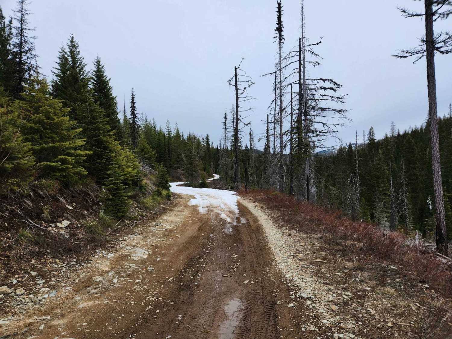
Bloom Peak trail starts on the west side of Noxon Reservoir, Montana, crosses the Idaho border, and completes near Pritchard, Idaho. This is primarily a gravel route with fantastic views and culminates with panoramic views at Bloom Peak. The route utilizes USFS roads #322 (Minton Peak Rd), Clark Fork CDA Divide Rd, and the Bloom Peak/Clee Creek trails. The trail can be run from either direction and summits at Bloom Peak. Most of the trail is moderately rough, with the exception being from Bloom Peak south, the first three miles can be steep, rutted, and off-camber. There is also considerable brush encroaching on the trail from mile 12 to 14.5. In this coniferous forest, you will find deer, elk, moose, bear, and pika. There have been increasing reports of Grizzly bear sightings in the area, so be aware. You will find various sections have logging and hunting activities and snow may limit your travel in almost any season. ATV use is frequent and blind corners will require additional attention. There are many dispersed camping pull-outs along the trail, be prepared to haul out your garbage and leave no trace. There are no vault toilets or potable water along the trail.
Photos of Bloom Peak Trail
Difficulty
Weather and snow conditions can adversely affect the ability to progress on the trail. Adjust your equipment and plan accordingly.
Status Reports
Popular Trails

Wolf Lodge 202

Ames Ridge NRT

St. Joe Divide Access
The onX Offroad Difference
onX Offroad combines trail photos, descriptions, difficulty ratings, width restrictions, seasonality, and more in a user-friendly interface. Available on all devices, with offline access and full compatibility with CarPlay and Android Auto. Discover what you’re missing today!


