Lake Tugaloo
Total Miles
3.9
Technical Rating
Best Time
Spring, Summer, Fall, Winter
Trail Type
Full-Width Road
Accessible By
Trail Overview
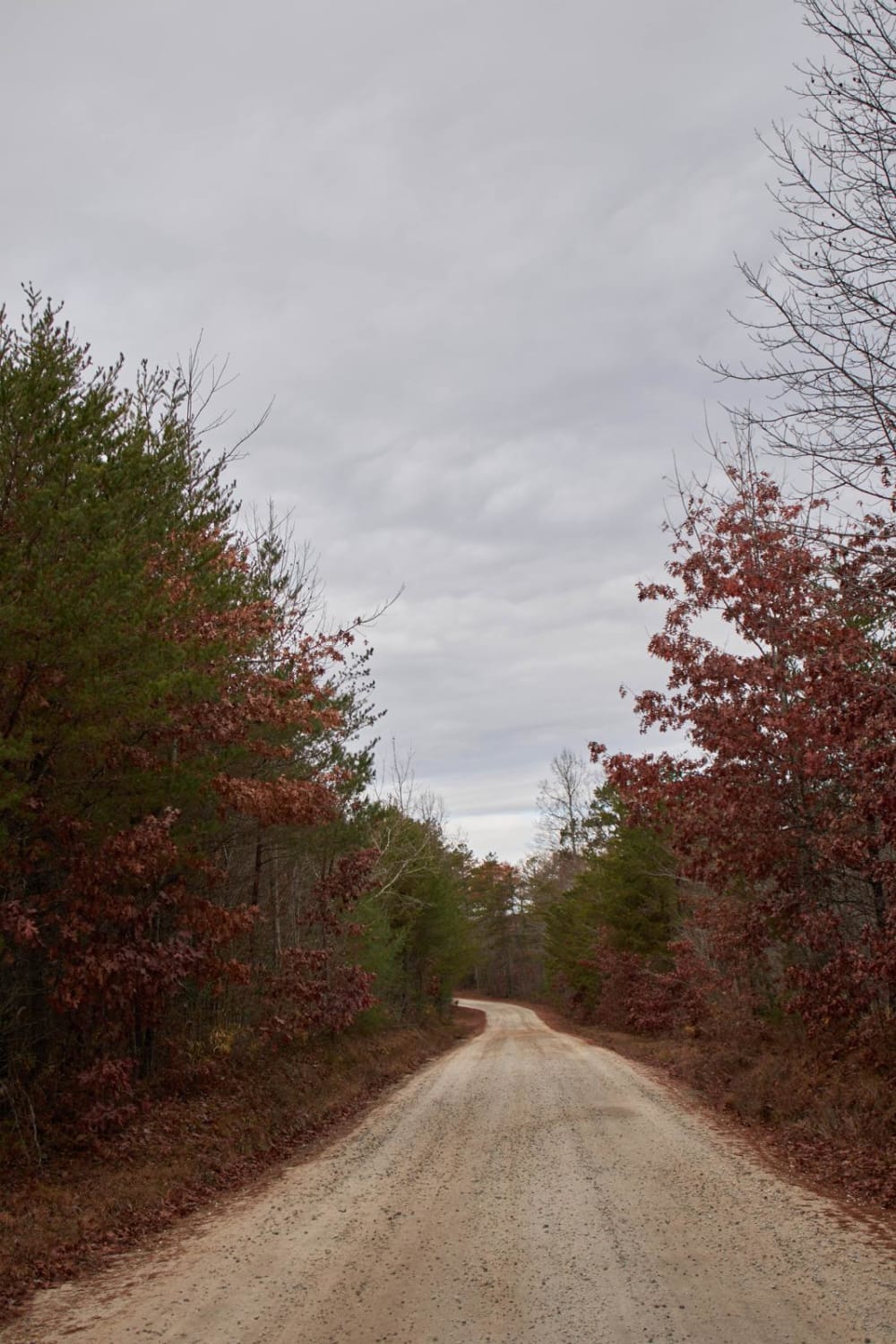
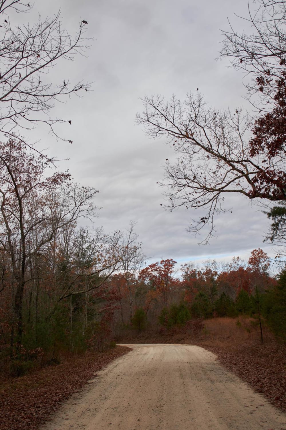
This route leads down to Lake Tugaloo; which is the end of the Wild and Scenic Chattoga River and creates the border of South Carolina and Georgia. Lake Tugaloo is a perfect place to stop and enjoy an Appalachian Lake. Before turning onto the trail there are numerous paid and free camping locations in the nearby area. Boats are allowed on Lake Tugaloo with a maximum of 20HP Motors. Most visitors bring kayaks, canoes, etc. Perfect location for viewing Fall leaves changing colors! Last 50FT into parking area and boat ramp is paved to assist with vehicles pulling trailers with the steep grade down to the lakeshore.
Photos of Lake Tugaloo
Difficulty
Maintained gravel trail with some steep areas. Last 50FT is paved to assist with vehicles pulling trailers.
Lake Tugaloo can be accessed by the following ride types:
- High-Clearance 4x4
- SUV
- SxS (60")
- ATV (50")
- Dirt Bike
Lake Tugaloo Map
Popular Trails

Ackerman - FSR 132

Tornado Alley

Mayson Crossroads Bypass - FS 585/585C

Mitchum Town Road
The onX Offroad Difference
onX Offroad combines trail photos, descriptions, difficulty ratings, width restrictions, seasonality, and more in a user-friendly interface. Available on all devices, with offline access and full compatibility with CarPlay and Android Auto. Discover what you’re missing today!

