G9 - Peachtree Gap
Total Miles
3.2
Technical Rating
Best Time
Spring, Summer, Fall, Winter
Trail Type
Full-Width Road
Accessible By
Trail Overview
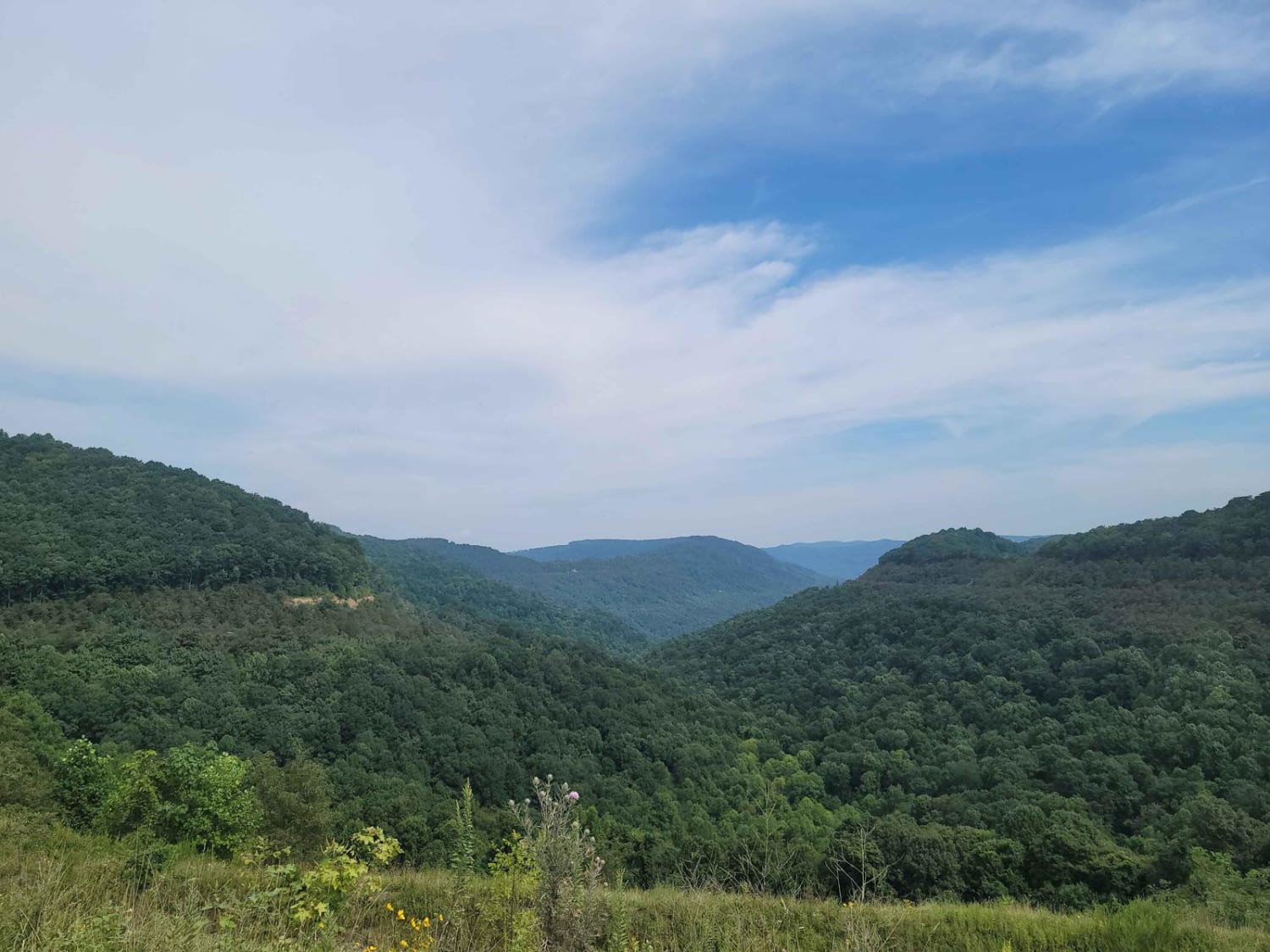
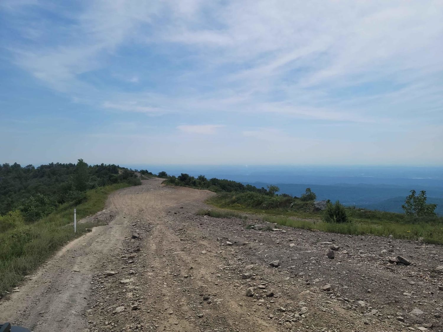
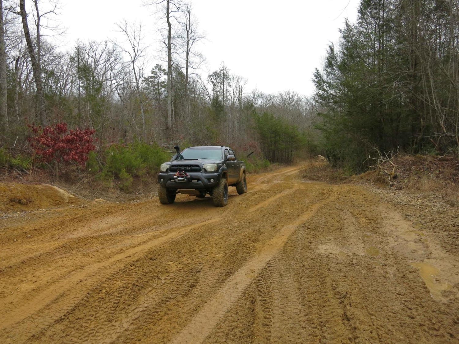
Trail G9 is a loose rock gravel trail with mild mudholes spread out through it. Trail G9 does not show up on the park map as it is a newly added trail. Per park staff, this trail was added due to needed a faster access route to the north end of the park since G1 has become increasingly difficult. It does show up in the "Restricted Area", however, it has been confirmed by park staff that it is an open trail. Only the track in the app is an approved route. The other trails that spur off of G9 are not open trails, as they are part of the mining lease. The northernmost side close to trail G16 can be the most difficult section as it has an abundance of small loose rocks. Watch out for the local wildlife as this is a common area for hogs and elk.
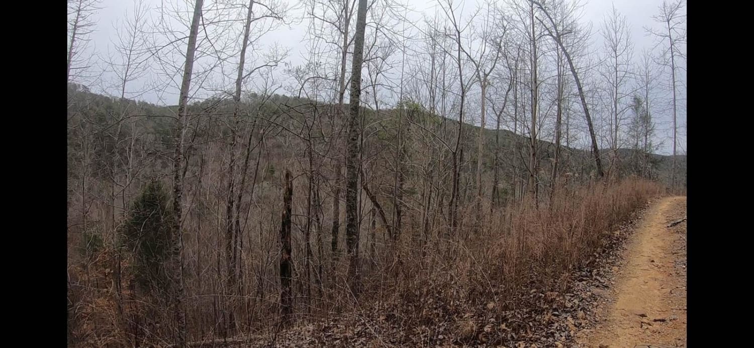
Photos of G9 - Peachtree Gap
Difficulty
This trail poses no dangers, but one could easily loose traction due to the thick layer of loose rock.
Status Reports
Popular Trails
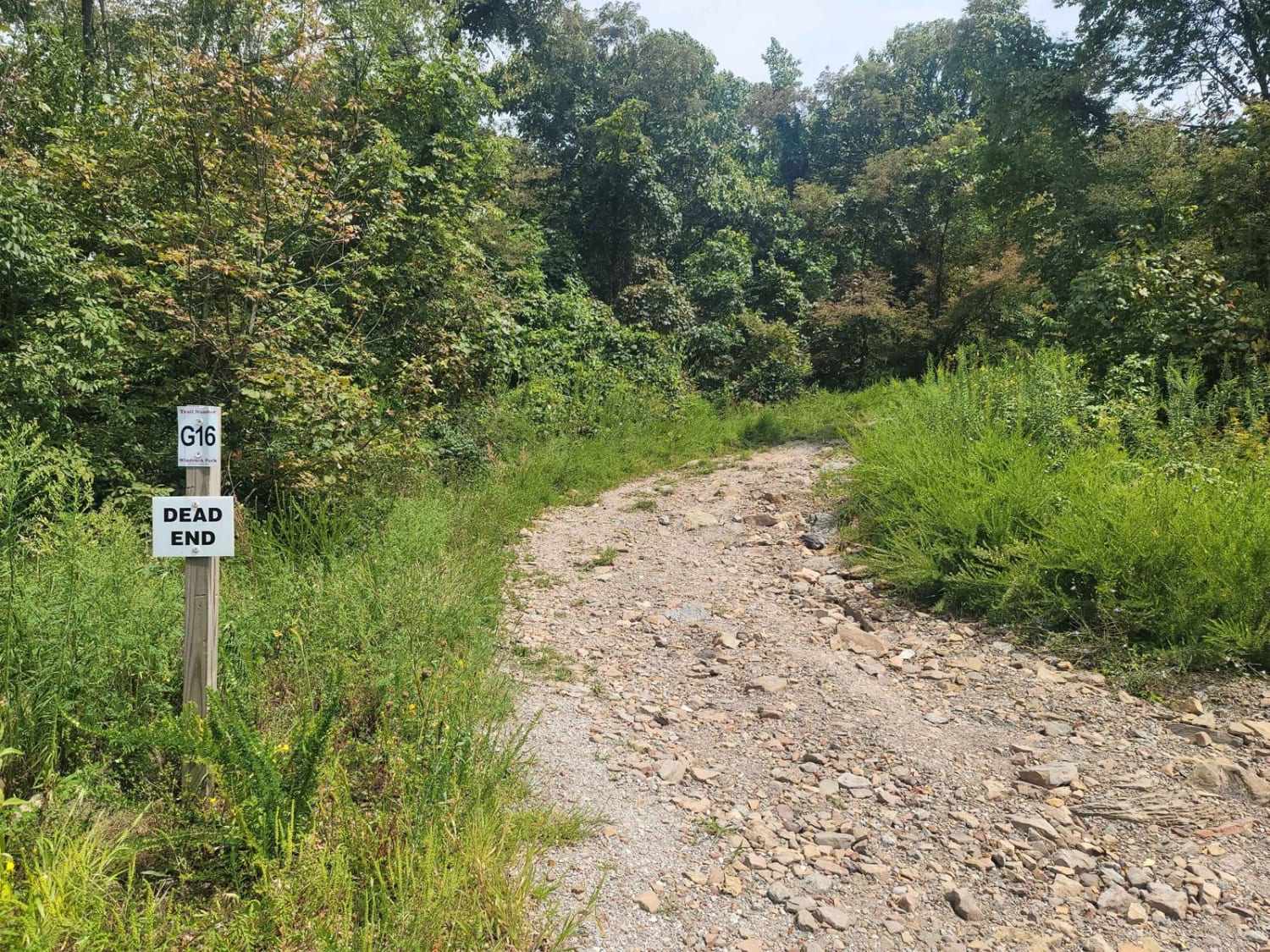
G16 - Sassafras Mountain
Trail 27 - Kener Gap
East Sylco Ridge
Trail 13 - Lee Asbury Road
The onX Offroad Difference
onX Offroad combines trail photos, descriptions, difficulty ratings, width restrictions, seasonality, and more in a user-friendly interface. Available on all devices, with offline access and full compatibility with CarPlay and Android Auto. Discover what you’re missing today!
