Rim Ruins
Total Miles
5.6
Elevation
1,991.27 ft
Duration
0.75 Hours
Technical Rating
Best Time
Spring, Summer, Fall
Trail Overview
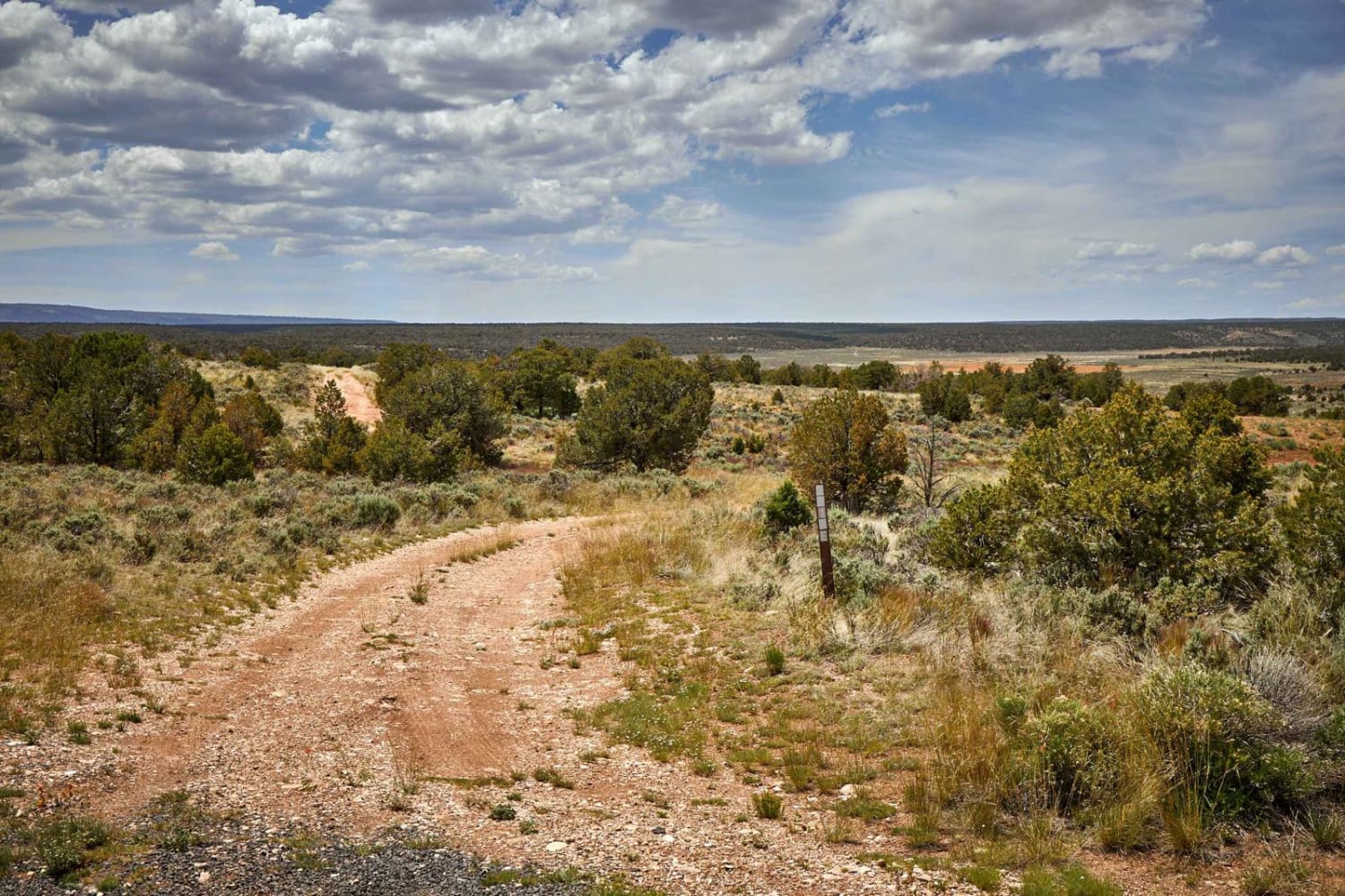
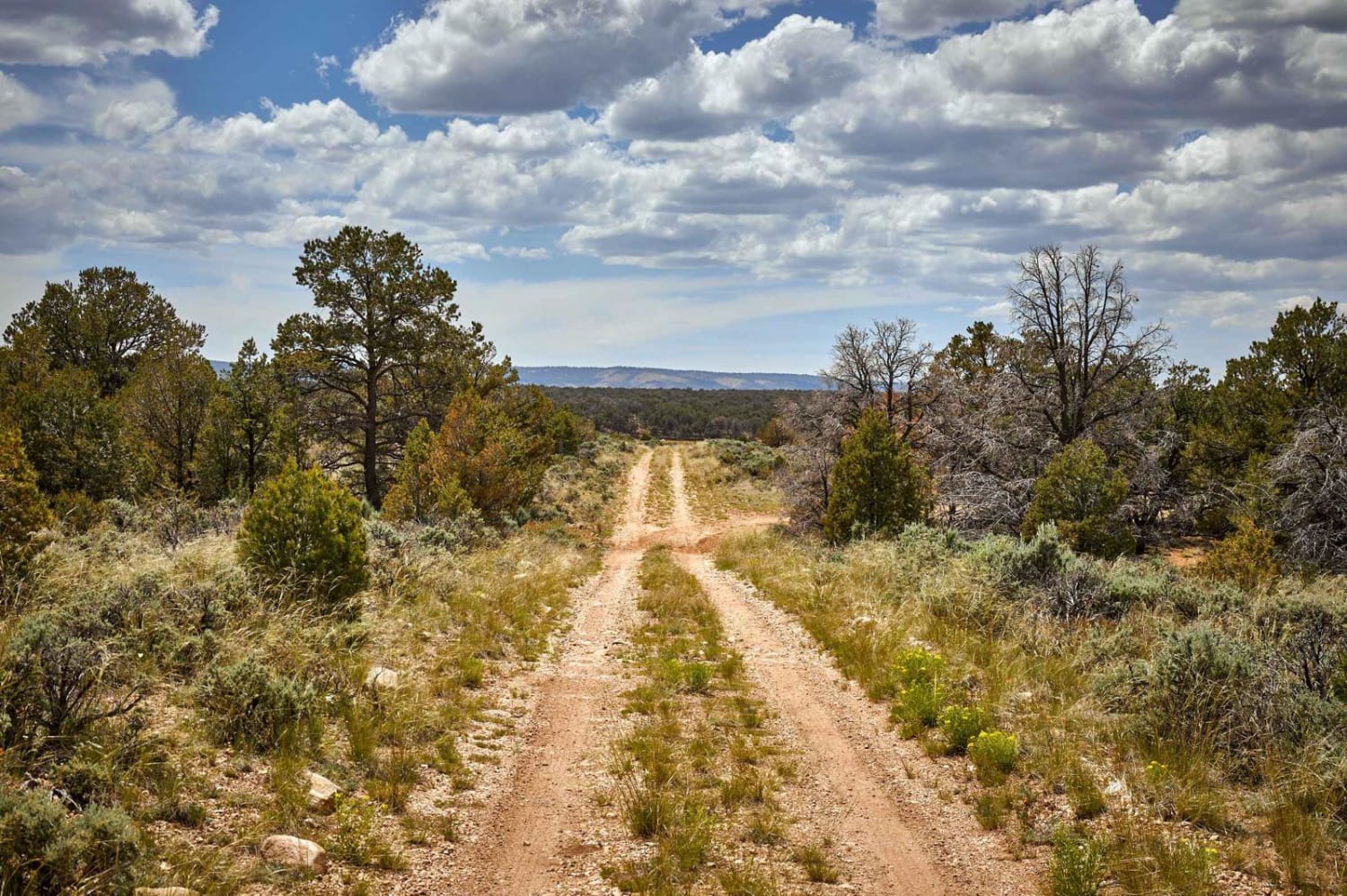
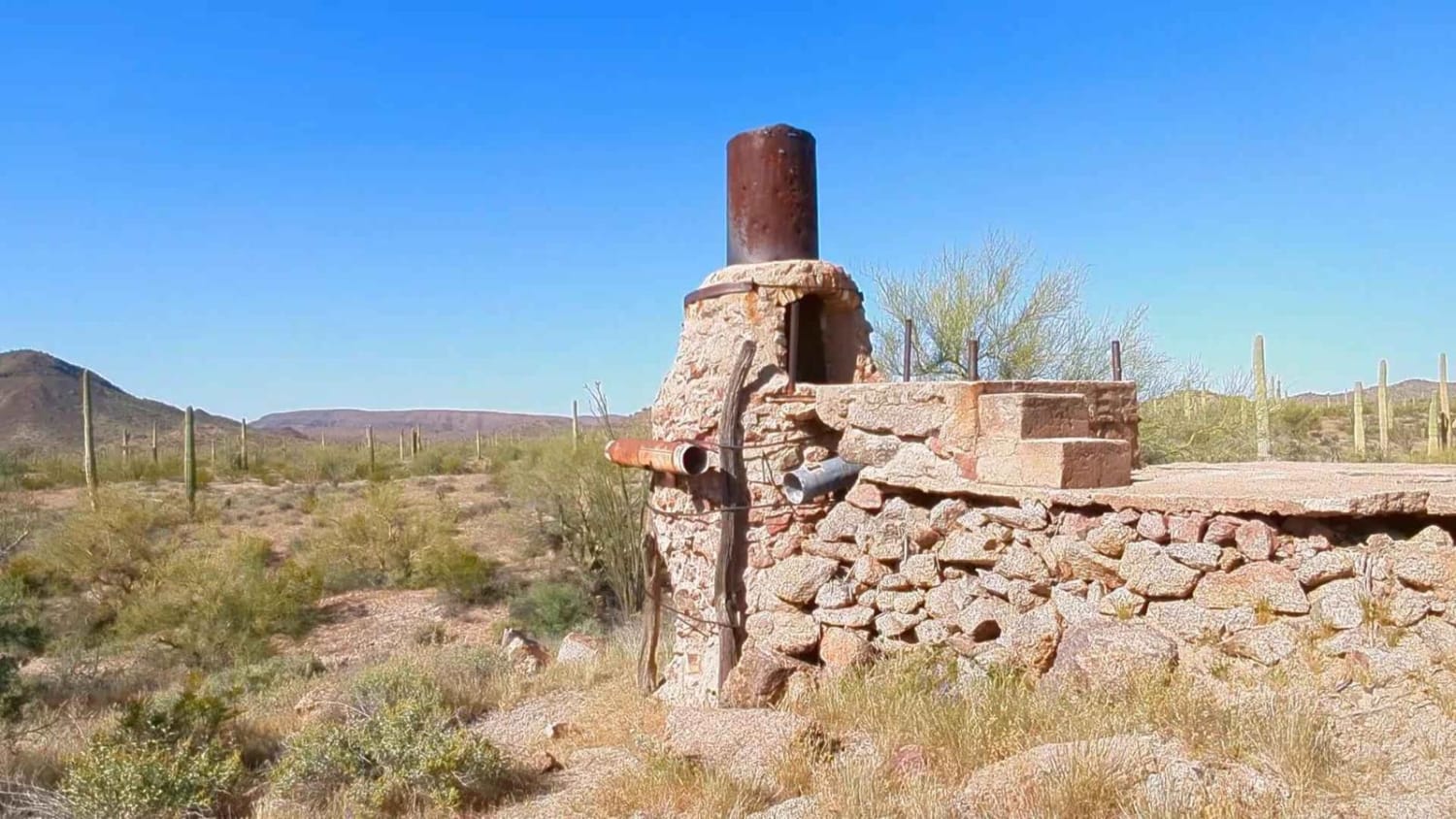
The Rim Ruins Trail is an interesting trail to say the least. Named for the ruins and its adjacent proximity to the Coconino Rim, this trail leads through what looks like an old homestead, with out buildings and a corral. The trail itself goes through the underbrush and scrubbrush of the Kaibab National Forest. With the natural boundary of the Coconino Rim to the South, this area is more populated by pinon and mixed pine, with juniper trees, than the towering Ponderosas that call the rim and beyond home. Rocky and muddy, the trail boasts several off-camber mud ruts, while sneaky rocks pop up in the trail unannounced, as well as sneaky cactus lurking near the edge of the trail on the narrow sections. Other than that, there are no obstacles on this trail over 12", and cell service is limited, so offline maps are recommended.
Photos of Rim Ruins
Difficulty
Dirt or rocky road, typically unmaintained after rain or snow. You may encounter shallow water crossings and obstacles under 12" on the trail, including small ledges. Roads are typically one to two vehicles wide.
Status Reports
Popular Trails
O'Leary Peak Loop
North Dry Creek Road to Vultee
8011 to Papago Indian Chief Mine
Go Farther
Try onX Offroad Elite for free for a week — no strings attached. Get access to thousands of off-road dirt trails and snowmobile trails across the nation. View your favorite zones in 3D. Send trails to friends. Start planning the trip of a lifetime now.
