Mount Creek
Total Miles
9.6
Technical Rating
Best Time
Spring, Summer
Trail Type
Full-Width Road
Accessible By
Trail Overview
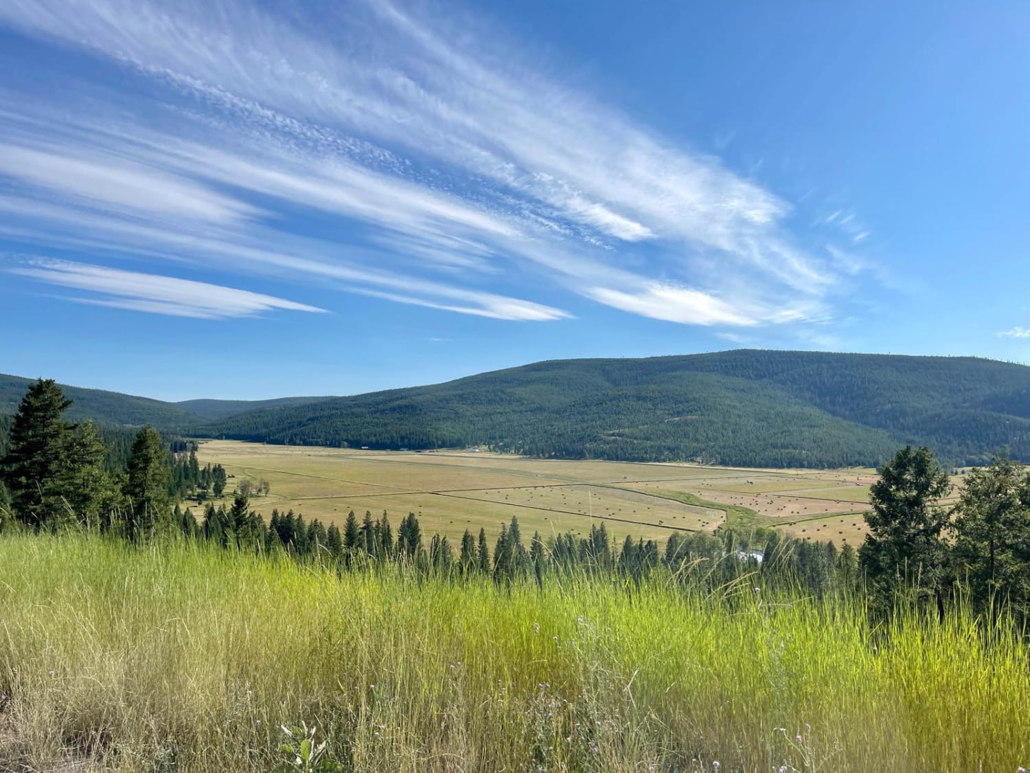
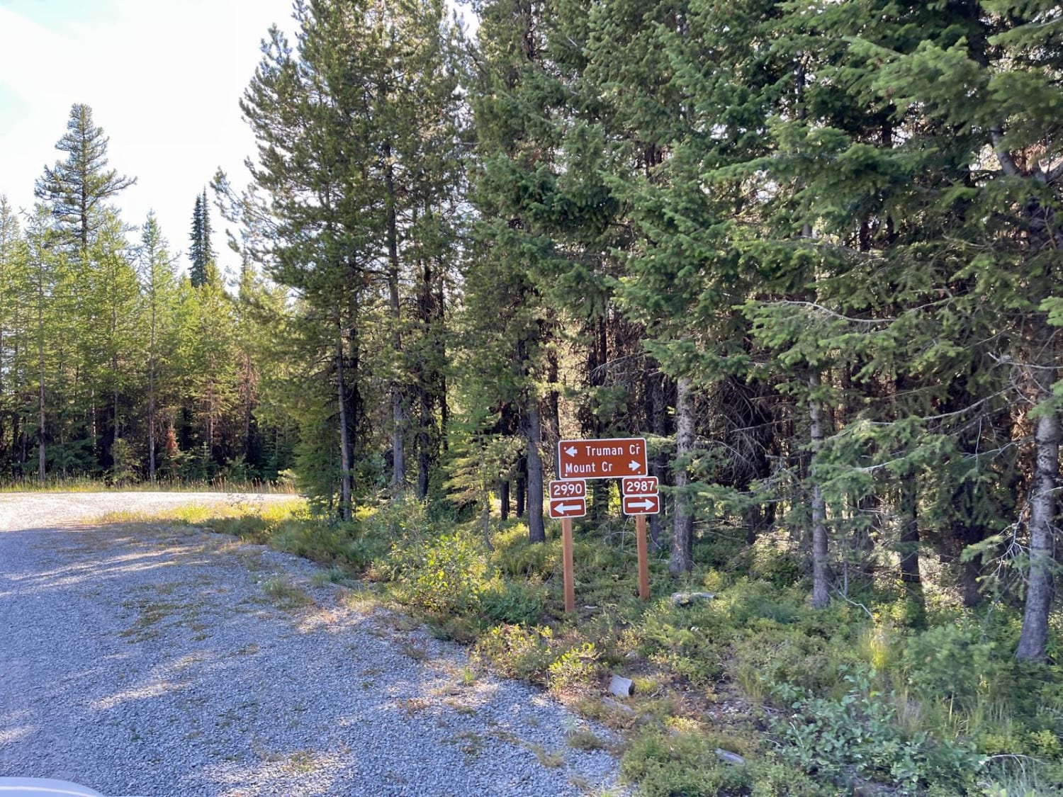
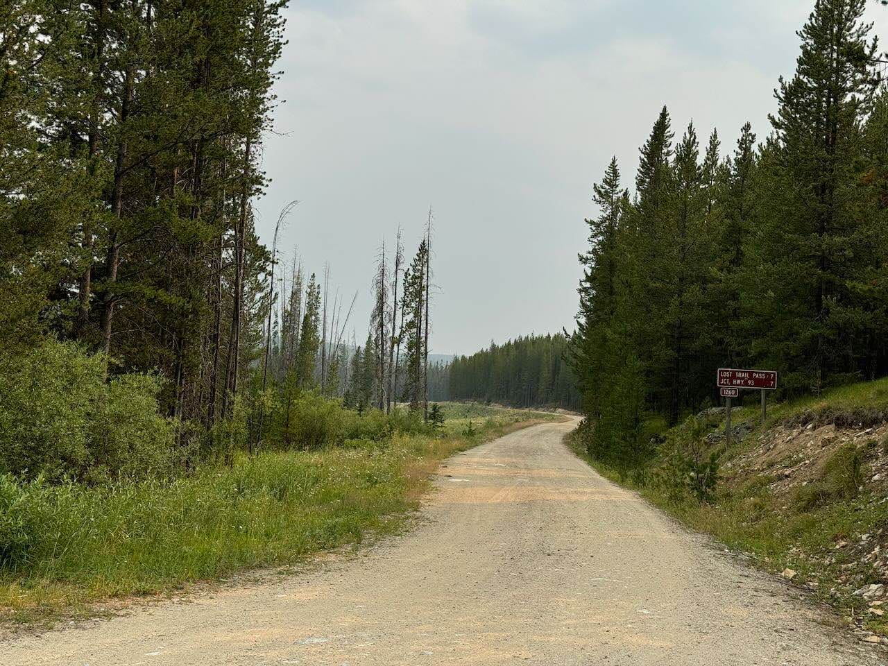
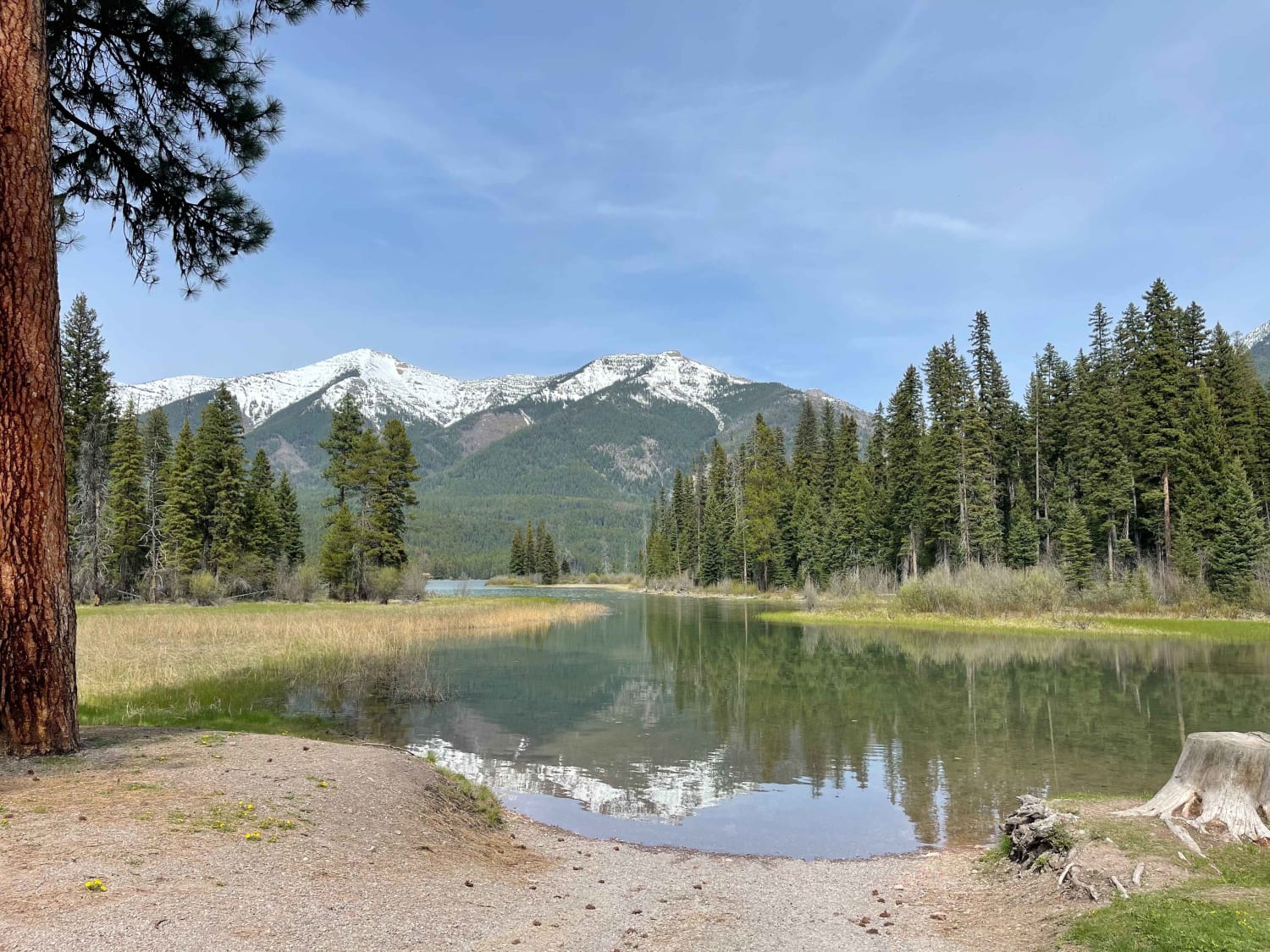
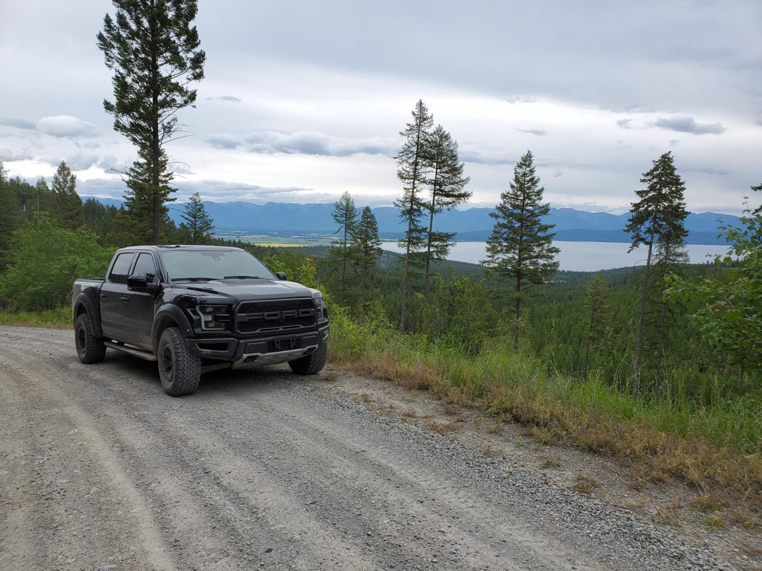
This nicely graded two-track heads deeper into the woods and is a bit more remote. Some excellent sections of partially cleared forest provide outstanding views for miles and miles. If you are lucky, you will spot a moose or a white-tailed deer scampering across your path. The occasional pothole awaits, lurking in the shadows of the dappled light as it streams through the trees. There are plenty of blind corners, so be aware of oncoming fast-moving motos and OHV traffic. A few older trails with locked gates or barricades now serve as decent little dispersed camping spots just off the road. Near the trail's northern end is a great large group campsite with a massive fire ring. Check current fire conditions before heading out to camp. One bar of Verizon LTE near the top of the trail fades to none at the bottom. Overall, it's a nice road with places to pull over and let oncoming vehicles pass. Be aware that most of the cattle guards along the route are washed out on both sides. On the northern end of the trail, it connects to Brown's Meadow Road, which provides easy access to the valley below.
Photos of Mount Creek
Difficulty
The trail is a narrow two-track with blind corners and pot craters hiding in the shadows. There are deep washouts at the cattle guards. The trail system is open in wintertime but deep snow makes the trail much more challenging. There is no winter maintenance. The summer and fall months can be dry, so expect dusty trail conditions.
Status Reports
Popular Trails

Tepee Creek- 13313 (Southern Portion)
Cramer Creek to Patrick Creek
The onX Offroad Difference
onX Offroad combines trail photos, descriptions, difficulty ratings, width restrictions, seasonality, and more in a user-friendly interface. Available on all devices, with offline access and full compatibility with CarPlay and Android Auto. Discover what you’re missing today!
