Maxwell Road
Total Miles
10.0
Technical Rating
Best Time
Spring, Summer, Fall
Trail Type
Full-Width Road
Accessible By
Trail Overview
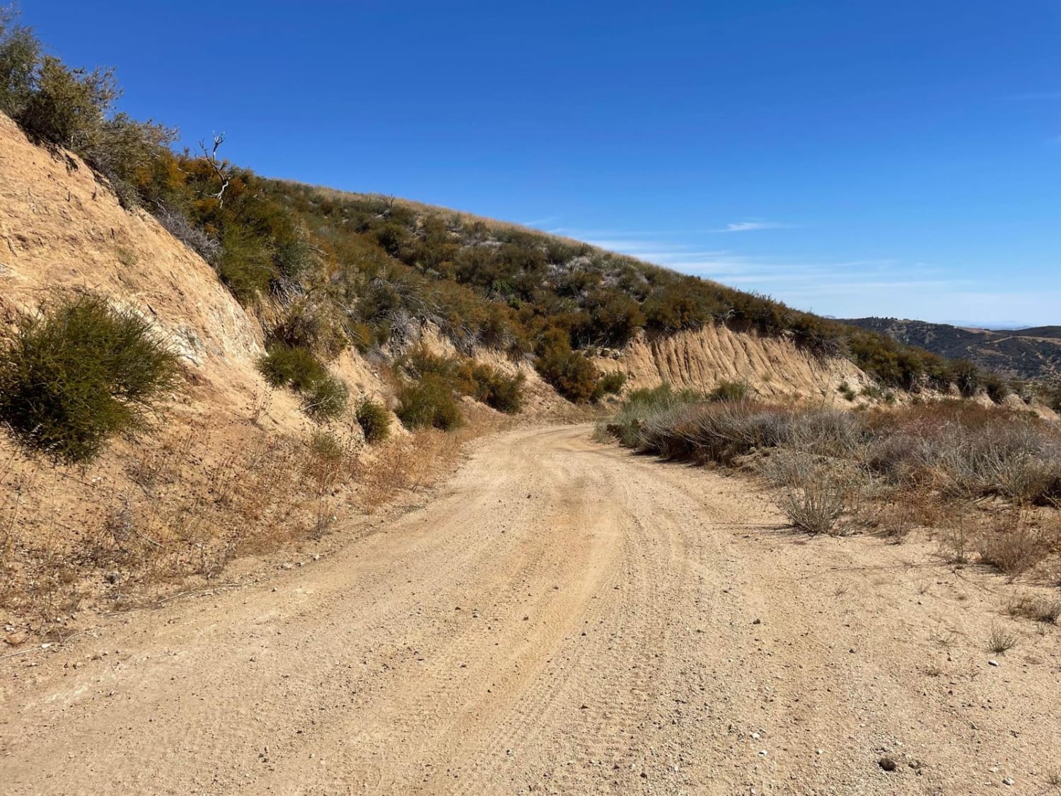
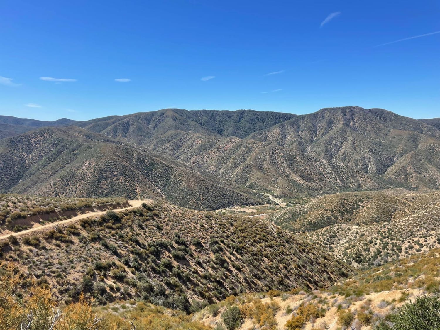
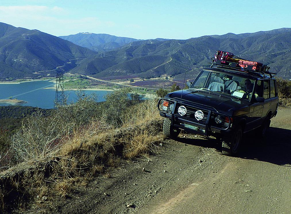
This is an off-road connector between Lake Hughes Road and the Liebre Mountain and Sawmill Motor Way (USFS Route 7N23). It takes you through the western Sierra Pelona Range, which is the lower elevation mountain range in western Los Angeles County, California. Much of this area was burned in the Lake Fire of 2020, so you will see a large amount of burnt trees and resurgent undergrowth.
Photos of Maxwell Road
Difficulty
Some areas are a bit rough, but with moderate clearance and careful choice of lines, a 4x4 vehicle will have little to no trouble on this trip.
Popular Trails
Parachute Landing
Round Mountain
Sierra Pelona Ridge/Rowher OHV

Aurora Cutoff R14
The onX Offroad Difference
onX Offroad combines trail photos, descriptions, difficulty ratings, width restrictions, seasonality, and more in a user-friendly interface. Available on all devices, with offline access and full compatibility with CarPlay and Android Auto. Discover what you’re missing today!
