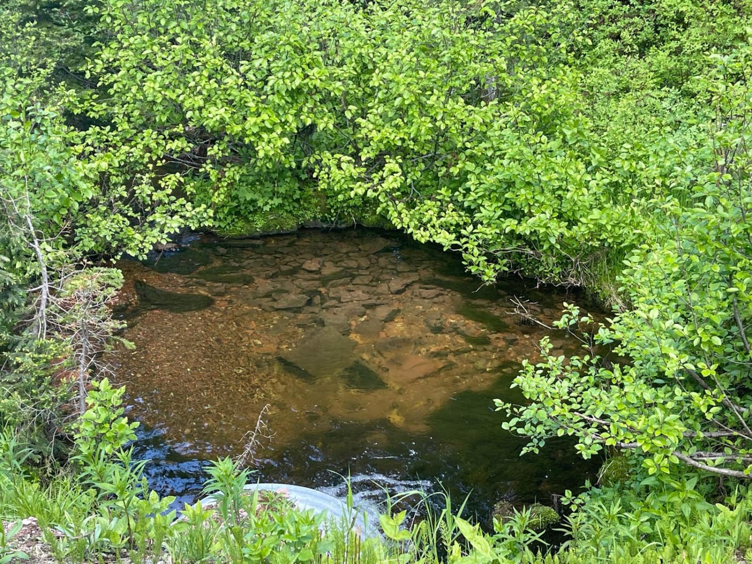
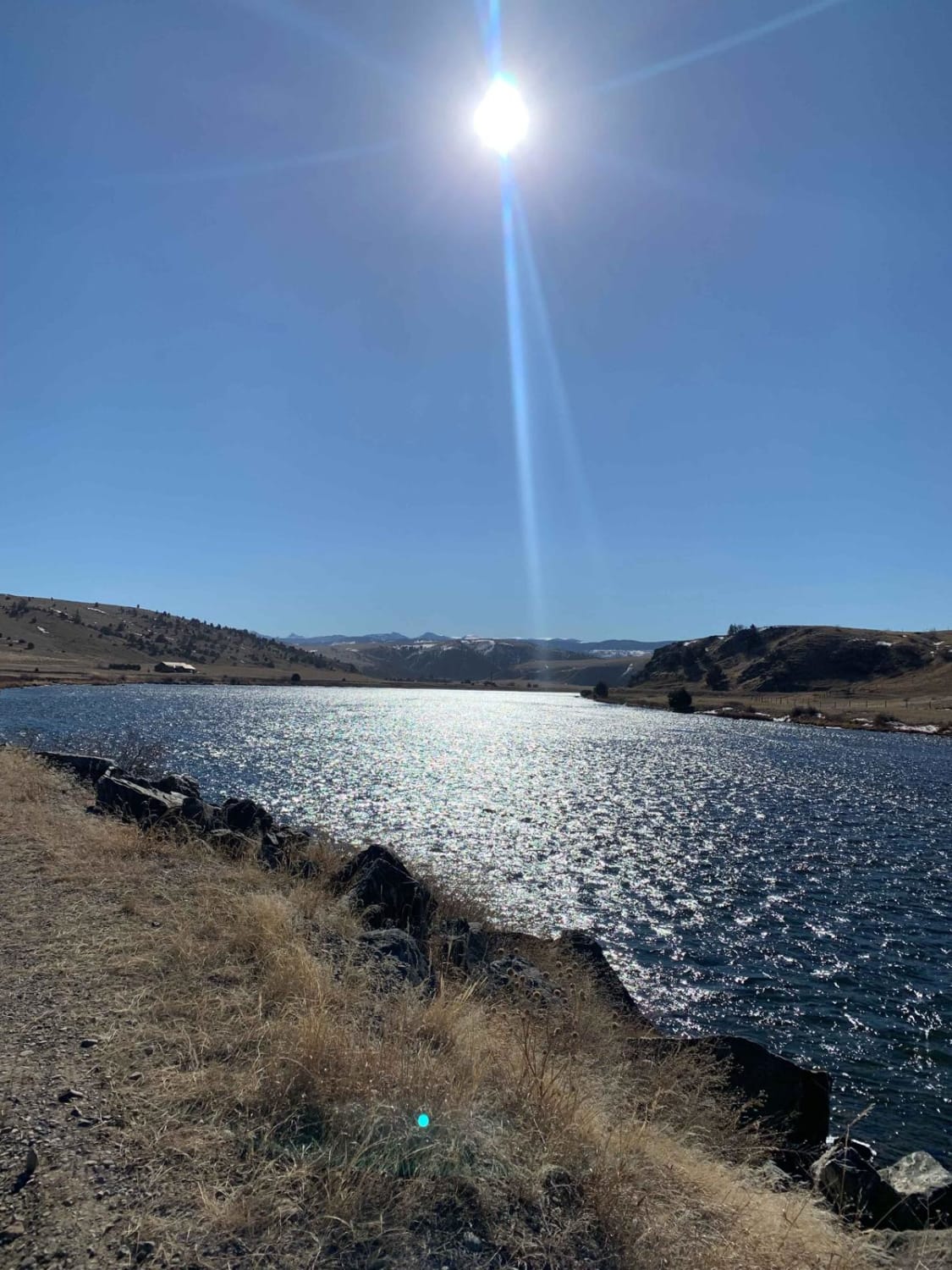
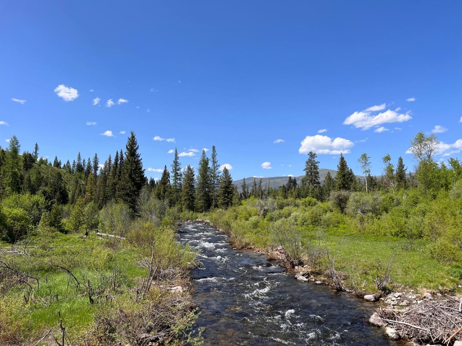
Stanley Creek
Total Miles
6.1
Elevation
1,847.56 ft
Duration
0.75 Hours
Technical Rating
Best Time
Summer, Fall
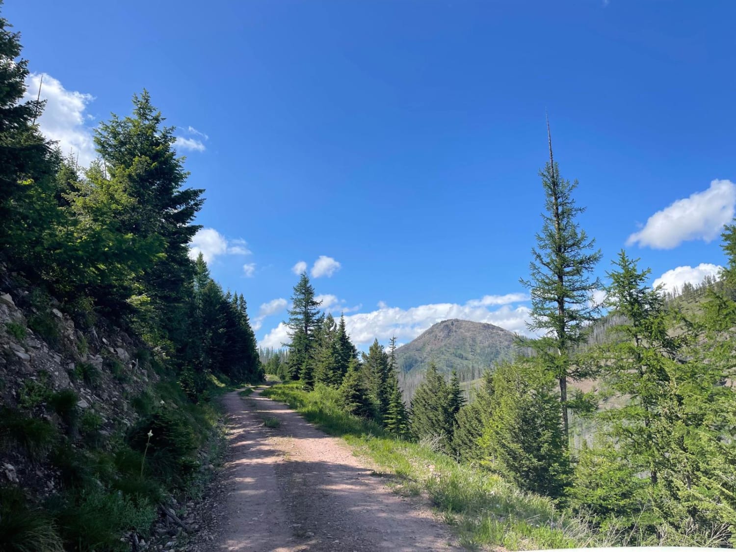
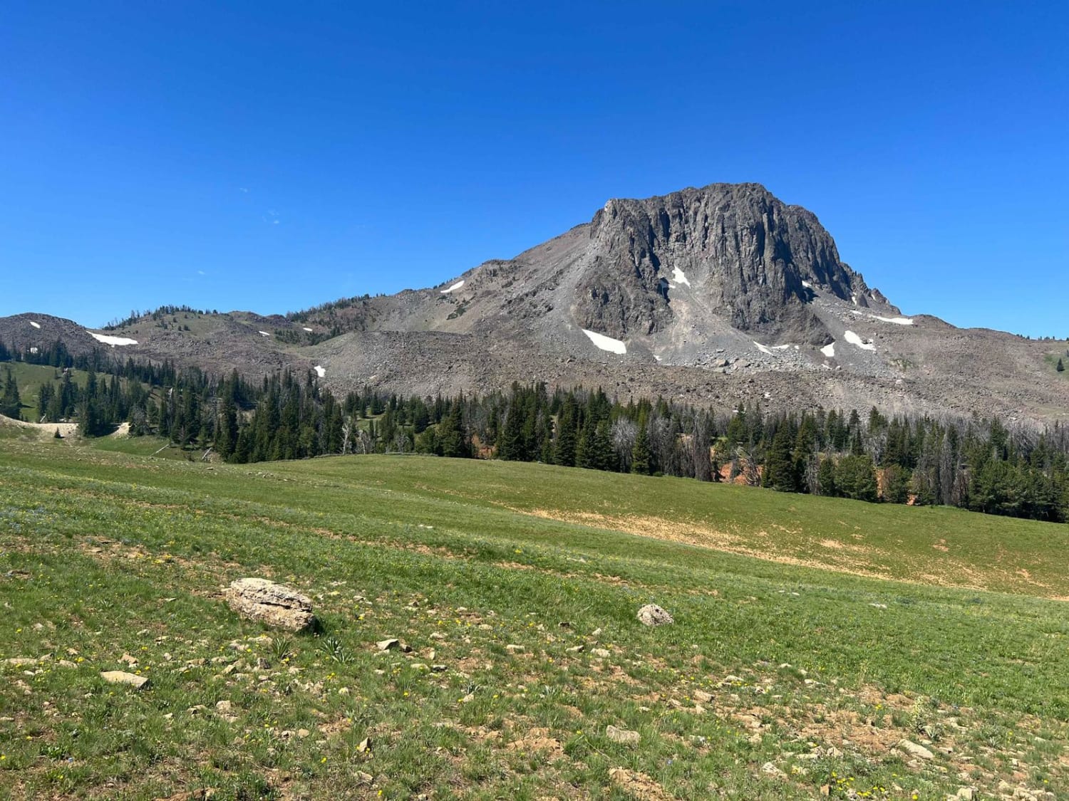
Trail Overview
This route heads into the hills and is a nice out-and-back detour from the main Cottonwood Lakes trail. Overall it's narrow with pullouts and some potholes to navigate. The trail travels through a section of old burned forest, so be on the lookout or ready to clear deadfall, especially after a storm. As the trail twists its way back, the views are expansive and stunning the higher you travel. Eventually, the trail climbs to a saddle where Stanley Creek flows through. The trail's end has a decent-sized turnaround that could be used to camp. It is a nice secluded level spot. One or two larger pullouts along the trail have dispersed campsites with outstanding views. This route also intersects with a few hiking trails, making it a good jumping-off point to explore the area. There is no cell service up here. Plan accordingly and download those offline maps before you go. Lolo Route 602 is seasonally closed.
Photos of Stanley Creek
Difficulty
This trail has narrow shelf roads and not a lot of pull-outs. Backing up should be done with caution. The trail also has lots of potholes.
Status Reports
Popular Trails
Gloria Mine Trail
Buffalo Jump - Black Fords Fish Access
Gold Creek to 7 Mile Bridge
The onX Offroad Difference
onX Offroad combines trail photos, descriptions, difficulty ratings, width restrictions, seasonality, and more in a user-friendly interface. Available on all devices, with offline access and full compatibility with CarPlay and Android Auto. Discover what you’re missing today!