Gloria Mine Trail
Total Miles
4.4
Technical Rating
Best Time
Summer, Fall
Trail Type
High-Clearance 4x4 Trail
Accessible By
Trail Overview
This trail starts out as an easy Forest Service road but gradually gets narrower and steeper the further you go. The last couple of miles are very steep, with extremely tight switchbacks with loose rocks and mild ledges. There is one water crossing that can be deep in the spring and early summer months. Although this road is technically open to full-sized rigs, I wouldn't recommend it for anything bigger than a short wheelbase with a very experienced driver. A SxS, ATV, and dirt bike are much better suited. Summer and Fall are the best times to see this trail as snow can block the trail well past spring.
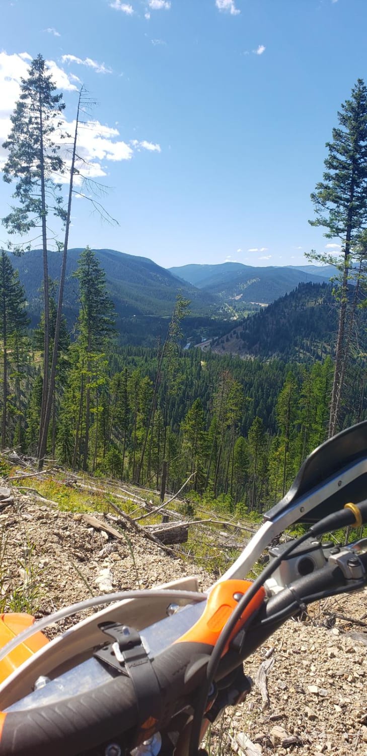
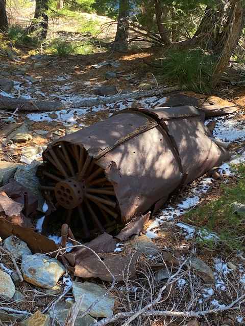
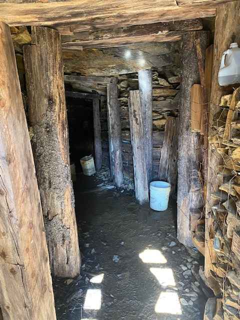
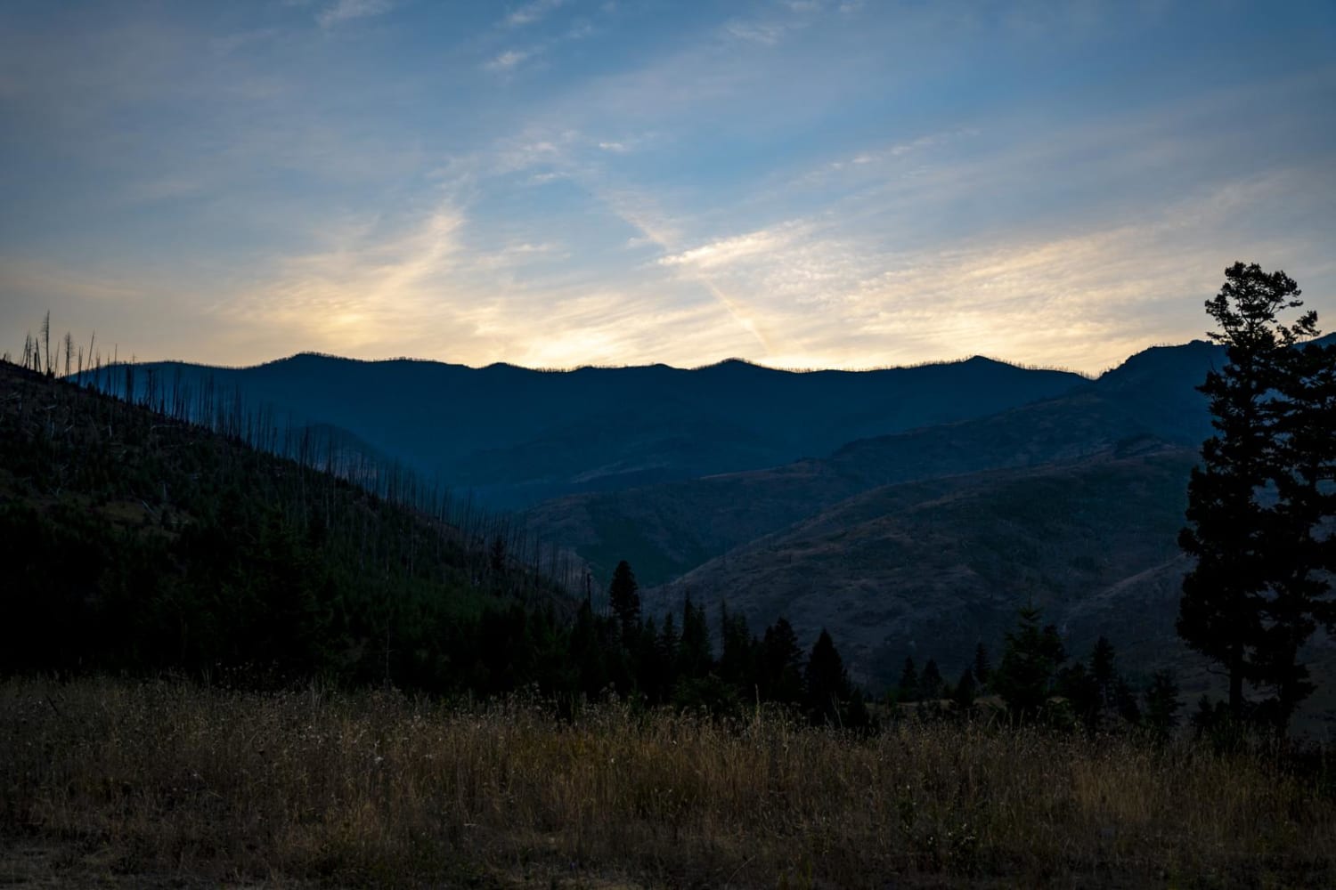
Photos of Gloria Mine Trail
Difficulty
The difficulty rating is based mostly on steep grades, tight switch backs, and dangerous exposure in places. The loose rock can also add to the difficulty.
Popular Trails

Up Up Lookout Loop

Head of Butterfly

Blodgett Canyon Overlook
The onX Offroad Difference
onX Offroad combines trail photos, descriptions, difficulty ratings, width restrictions, seasonality, and more in a user-friendly interface. Available on all devices, with offline access and full compatibility with CarPlay and Android Auto. Discover what you’re missing today!


