South Cle Elum Ridge - NF3350
Total Miles
6.7
Technical Rating
Best Time
Spring, Summer, Fall
Trail Type
Full-Width Road
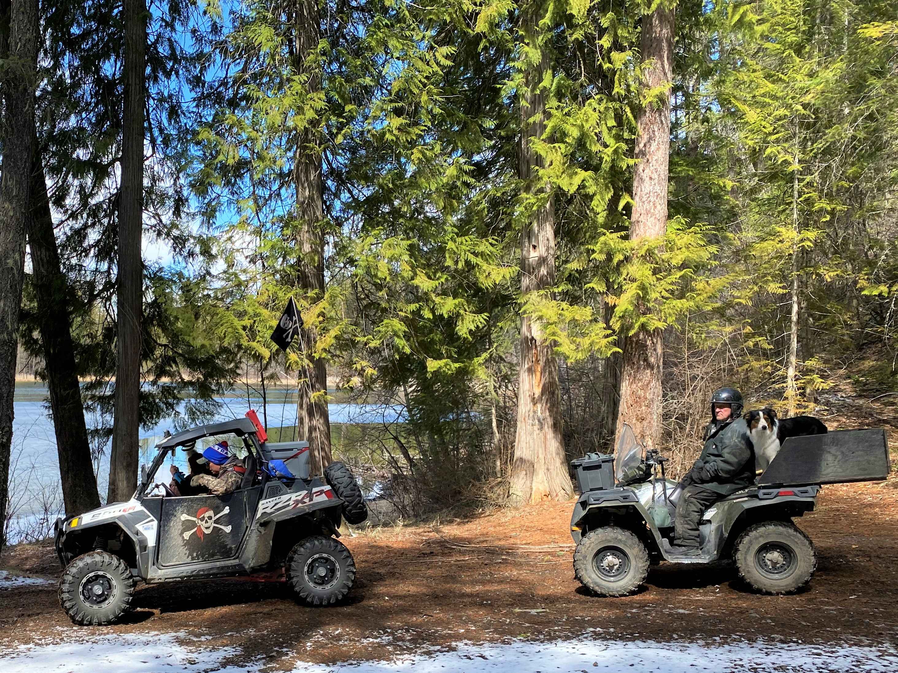
Accessible By
Trail Overview
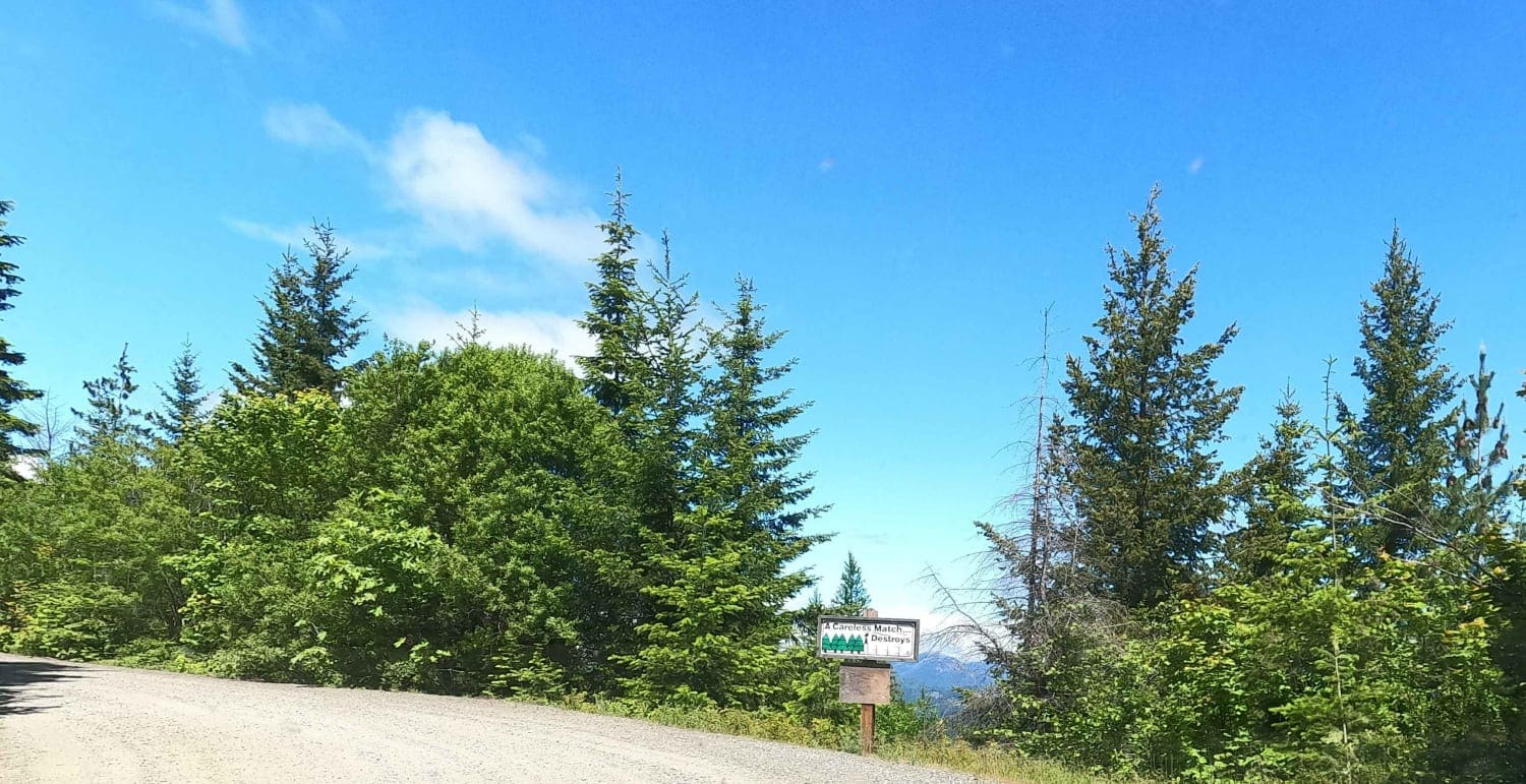
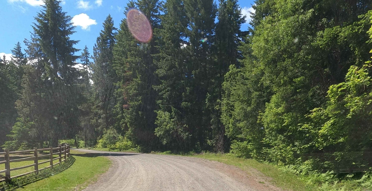
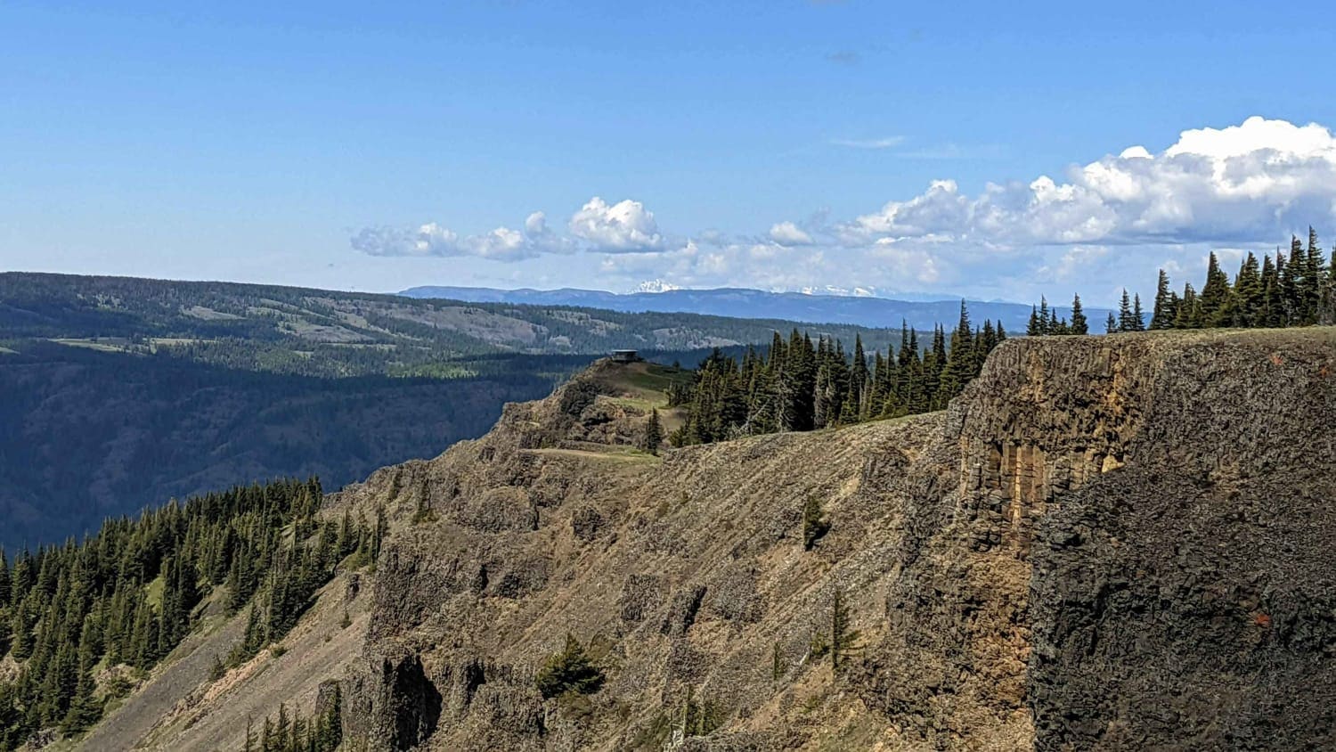
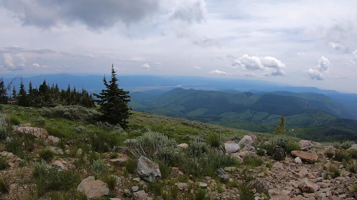
South Cle Elum Ridge is a 6.5-mile maintained gravel Forest Service road climbing from roughly 2,200 feet up to 4,000 feet in elevation. This is a segment of a larger north-south 60-mile overlanding route connecting Cle Elum and the Highway 90 corridor to Nile on the 410. It travels gravel Forest Service roads through the Taneum-Manastash ORV area in the Wenatchee National Forest. The ORV trails in this area are open from June 15 to October 15, but many of the lower-elevation Forest Service roads are open and accessible year-round. This route tops out at about 5,000 feet and is likely clear by mid-May. The higher elevation routes to the west often are still snowbound well into July.
Photos of South Cle Elum Ridge - NF3350
Difficulty
This is an easy gravel Forest Service road.

Popular Trails
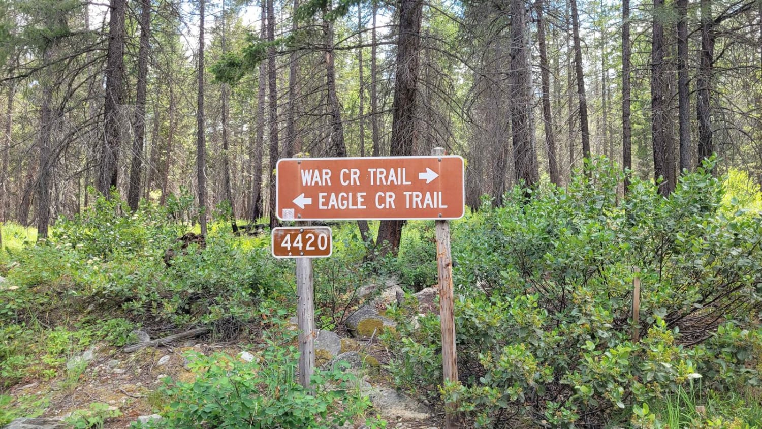
FR 4420 - West Buttermilk Creek Road
Jump Off - NF1302
The onX Offroad Difference
onX Offroad combines trail photos, descriptions, difficulty ratings, width restrictions, seasonality, and more in a user-friendly interface. Available on all devices, with offline access and full compatibility with CarPlay and Android Auto. Discover what you’re missing today!