New Dixie Mine Road - BLM C2330
Total Miles
8.5
Technical Rating
Best Time
Spring, Fall, Winter
Trail Type
Full-Width Road
Accessible By
Trail Overview
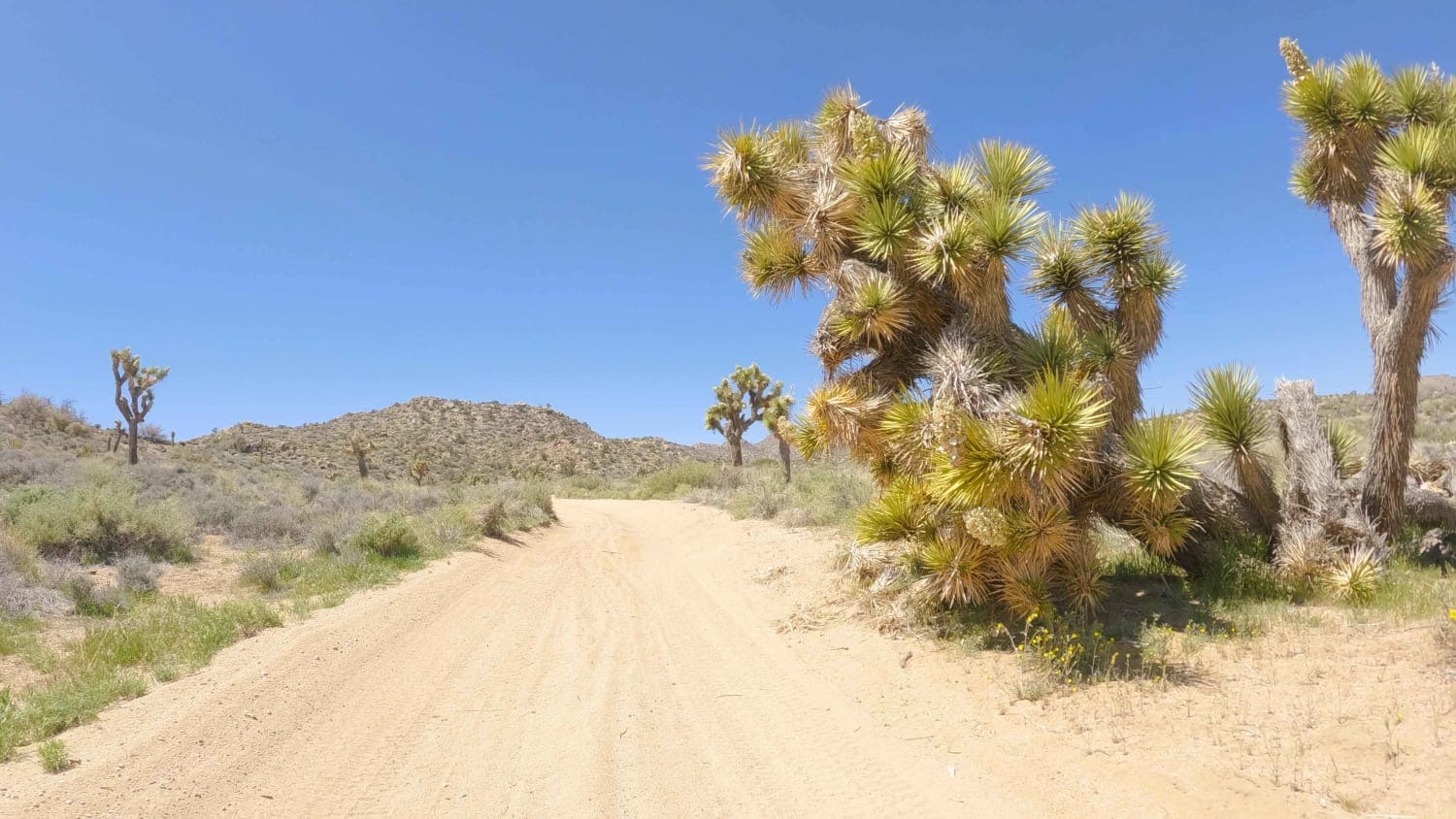
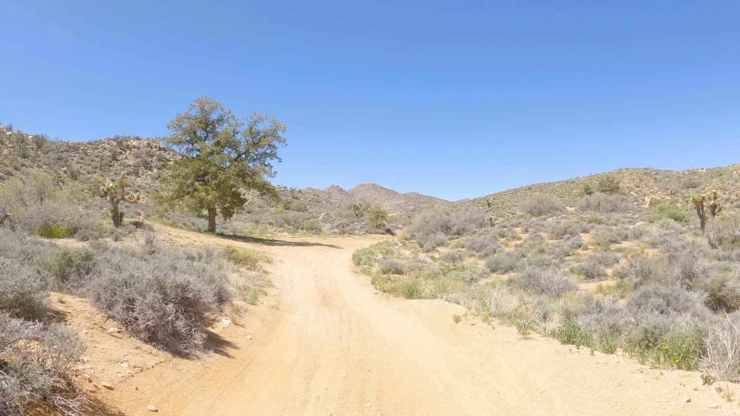
New Dixie Mine Road runs West from Hwy 247 at Flamingo Heights into an unnamed valley that splits two separate sections of the Bighorn Mountain Wilderness. This 8.5-mile road is generally an easy drive with the occasional scramble up and out of washes. There are numerous spur roads leading to trailheads at the wilderness boundary. Many of these trailheads have established dispersed campsites with rock fire rings.
Photos of New Dixie Mine Road - BLM C2330
Difficulty
This is an easy sand road.
Status Reports
Popular Trails
Juniper Flats Southern Access
Northern Black Mountain Road
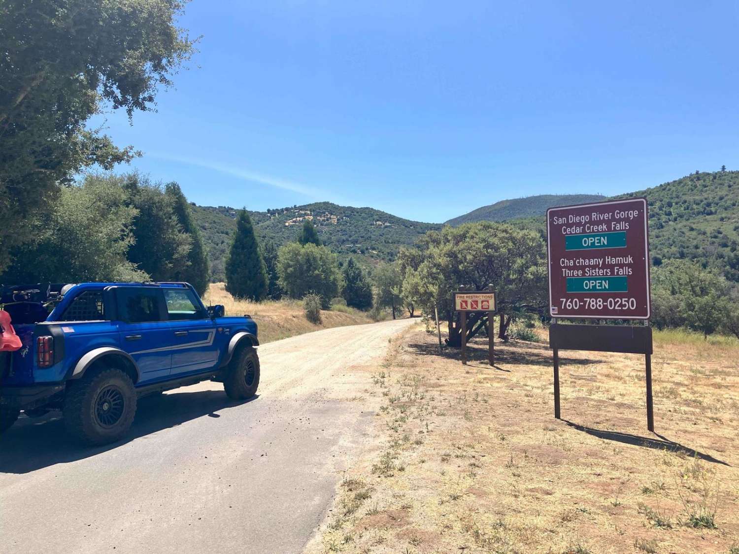
Saddleback Mountain Loop
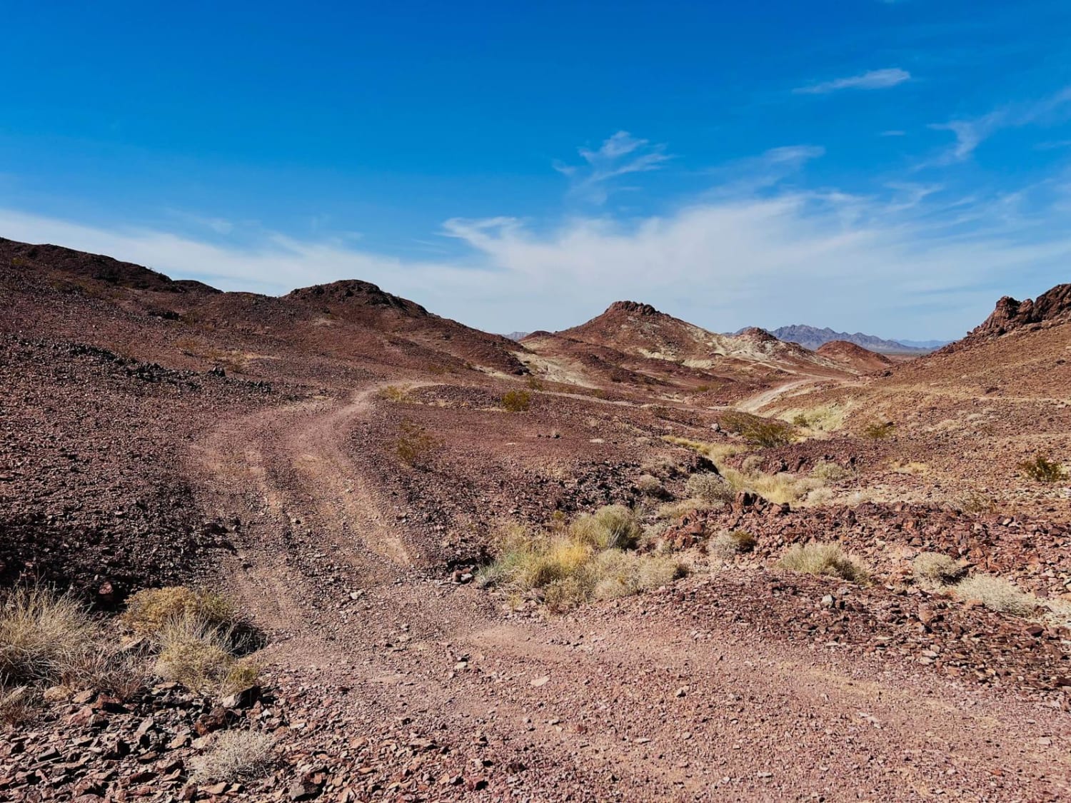
Hauser Geode Beds West
The onX Offroad Difference
onX Offroad combines trail photos, descriptions, difficulty ratings, width restrictions, seasonality, and more in a user-friendly interface. Available on all devices, with offline access and full compatibility with CarPlay and Android Auto. Discover what you’re missing today!
