Maple Spring Road
Total Miles
12.2
Technical Rating
Best Time
Winter, Summer, Fall, Spring
Trail Type
Full-Width Road
Accessible By
Trail Overview
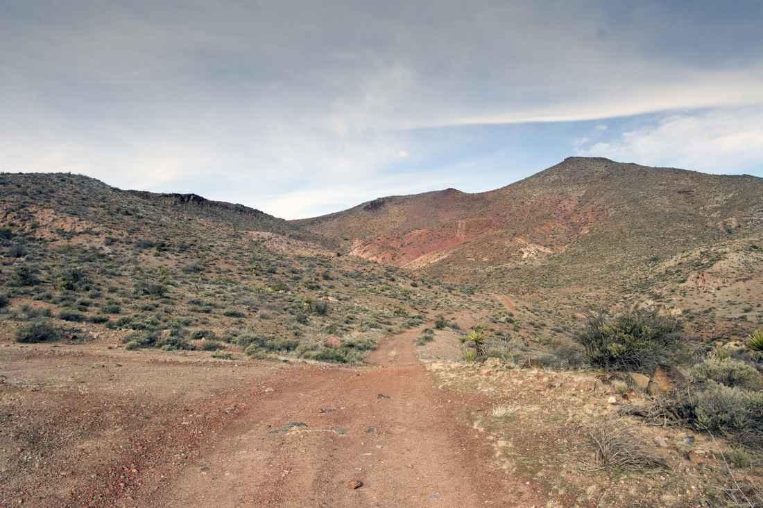
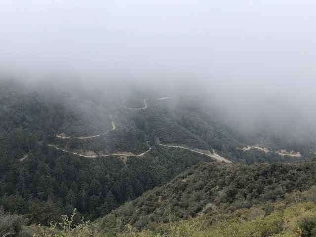
Maple Springs road offers a fun, relatively easy route with scenic views of the Cleveland National Forest. Vehicles should have some ground clearance. At the end of the trail is an elevated patch of asphalt that appears to be a helicopter pad. The trail is shared with dirt bikes, hikers and riders on horseback-use caution along this narrow road. The road is hard packed dirt with several rutted areas and steep inclines.
Photos of Maple Spring Road
Difficulty
80% of the trail is relatively easy but there are some locations where the road is narrow, rutted, and steep. Good tires are recommended, but airing down was not required.
Status Reports
Popular Trails

Hell To Pay

McGee Ridge - 1S97

EC 39 Table Mountain
The onX Offroad Difference
onX Offroad combines trail photos, descriptions, difficulty ratings, width restrictions, seasonality, and more in a user-friendly interface. Available on all devices, with offline access and full compatibility with CarPlay and Android Auto. Discover what you’re missing today!


