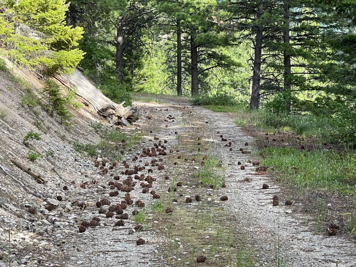
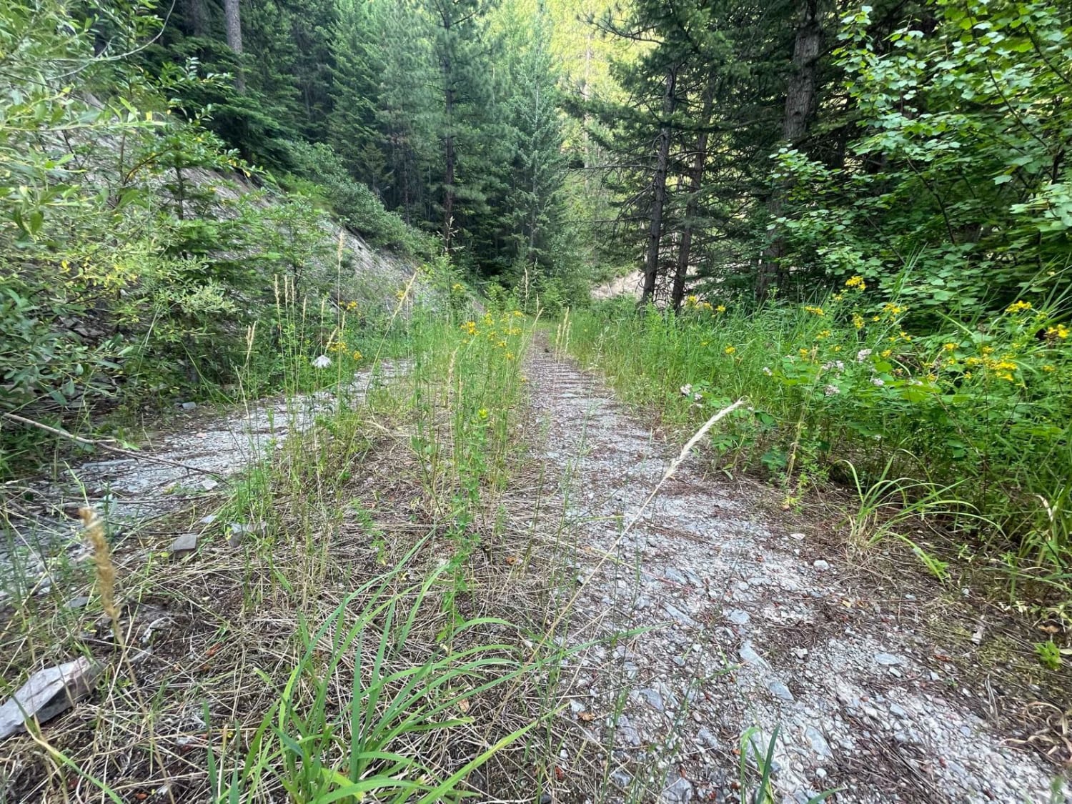
Pinecones and Tall Grass
Total Miles
3.4
Elevation
1,598.40 ft
Duration
0.5 Hours
Technical Rating
Best Time
Fall, Summer, Spring
Trail Overview
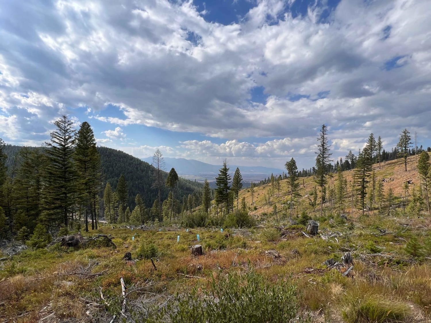
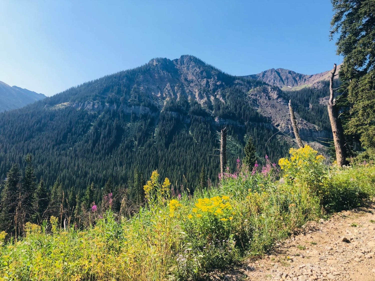
If you love riding on pinecones and through tall grass, then you're in luck. This trail gets you further into the mountains and even more remote. If you want peace and quiet, then this is for you. Watch for boulders hidden in the tall grass from frequent rock slides and be aware of downed trees in springtime or after a storm. There's a nice camping spot near where the recording ends, and the trail is entirely overgrown from here. On the way up, the trail connects up with some older logging roads that are now only accessible by foot. Sadly there is no longer vehicular access to MuMullan Peak. These trails that show on the map are long since overgrown. There is one bar of Verizon LTE near the top, none in the Valley below.
Photos of Pinecones and Tall Grass
Difficulty
Easy, mostly narrow with some tight turns, and pullouts to pass oncoming. Be sure to watch for boulders that have rolled down the hill, they may need to be moved for a passenger car or SUV to pass. There is also a strong possibility of downed trees so be ready to clear trees as well.
Status Reports
Popular Trails

Lower Buck Ridge ATV
Medicine Point Trailhead
Miller Mountain Road
The onX Offroad Difference
onX Offroad combines trail photos, descriptions, difficulty ratings, width restrictions, seasonality, and more in a user-friendly interface. Available on all devices, with offline access and full compatibility with CarPlay and Android Auto. Discover what you’re missing today!
