Medicine Point Trailhead
Total Miles
4.8
Technical Rating
Best Time
Fall, Summer, Spring
Trail Type
High-Clearance 4x4 Trail
Accessible By
Trail Overview
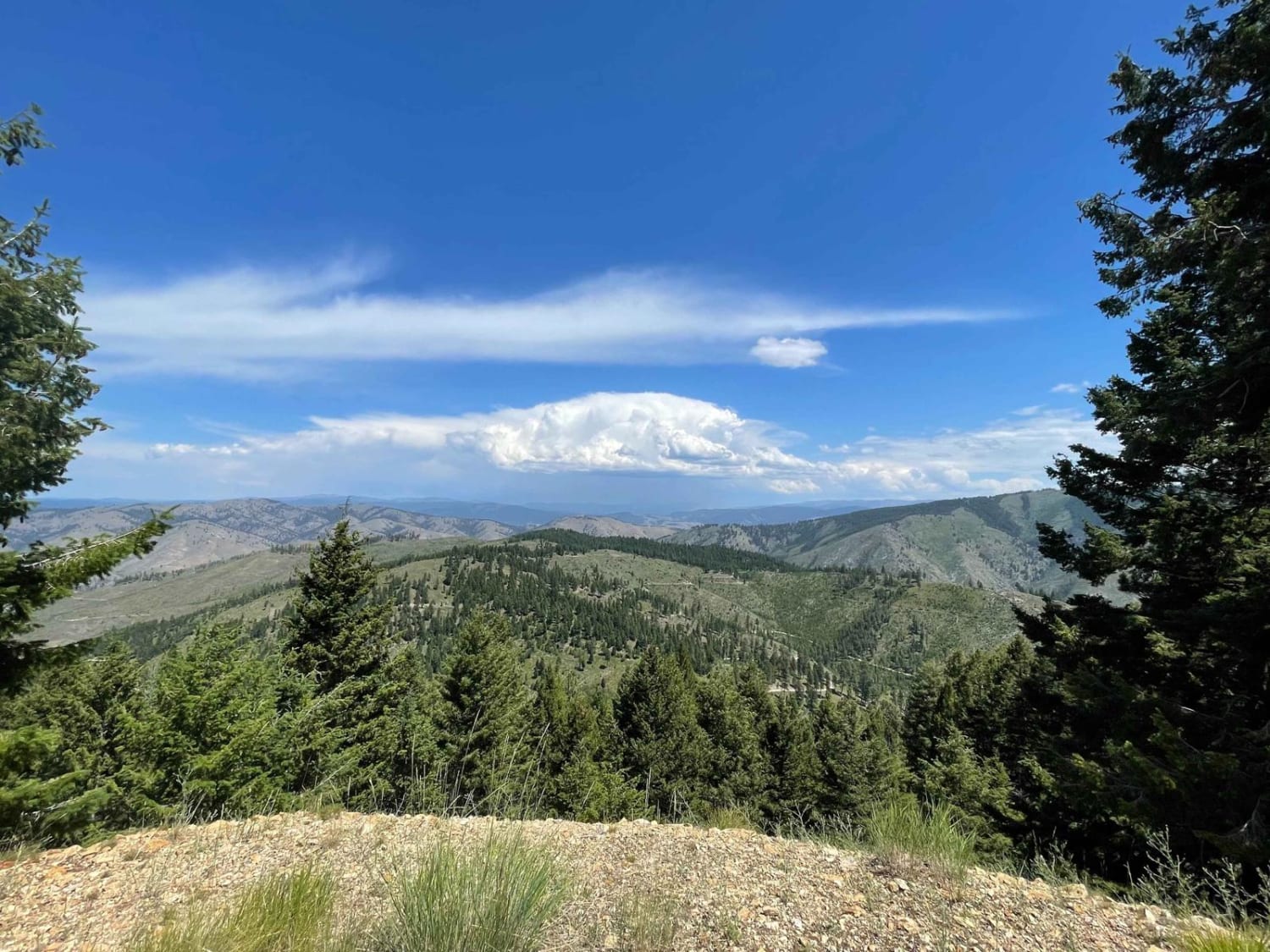
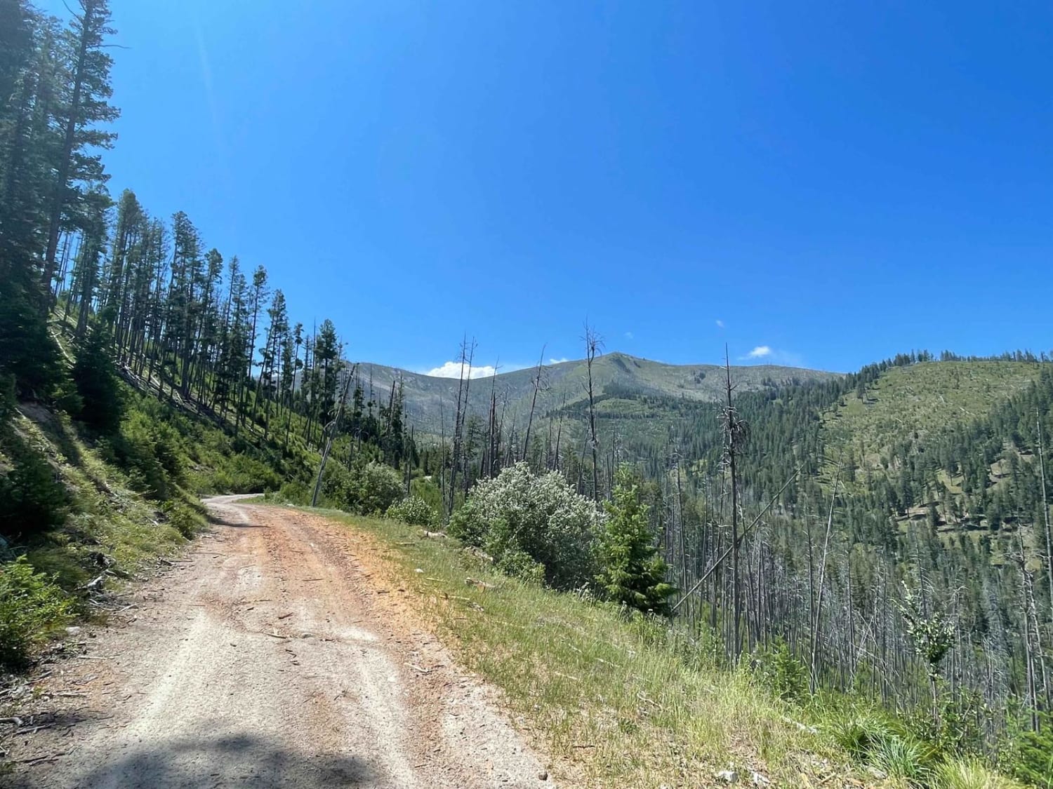
This narrow trail starts wider but has plenty of trees growing into it that may cause paint damage. The first half is a little loose and rocky, with a few tight corners. The midway point is a significant turnaround/ camping/ trailhead area with excellent views. This open area is the Medicine Point trailhead, and a solid 3.8-mile hike will lead you to the epic views of medicine point lookout tower. Past this point, the trail becomes a shelf road with steep drop-offs, downed trees, and large bushes that may make wider vehicles uncomfortably close to the edge. This section appears to be far less traveled. There is nowhere to pull over for oncoming traffic, ending at a decent-sized turnaround point where one could camp. There is full LTE service at the top. One bar at the beginning.
Photos of Medicine Point Trailhead
Difficulty
Mostly easy until the parking area trail head, after that gets very narrow and shelf, with off-camber trees to go around on the shelf side of the trail.
Status Reports
Medicine Point Trailhead can be accessed by the following ride types:
- High-Clearance 4x4
- SxS (60")
- ATV (50")
- Dirt Bike
Medicine Point Trailhead Map
Popular Trails
Elliston Spotted Dog
Divide NRT (Ditch Creek to Twin Creek Ridge)
Pryor Mountain Road
The onX Offroad Difference
onX Offroad combines trail photos, descriptions, difficulty ratings, width restrictions, seasonality, and more in a user-friendly interface. Available on all devices, with offline access and full compatibility with CarPlay and Android Auto. Discover what you’re missing today!
