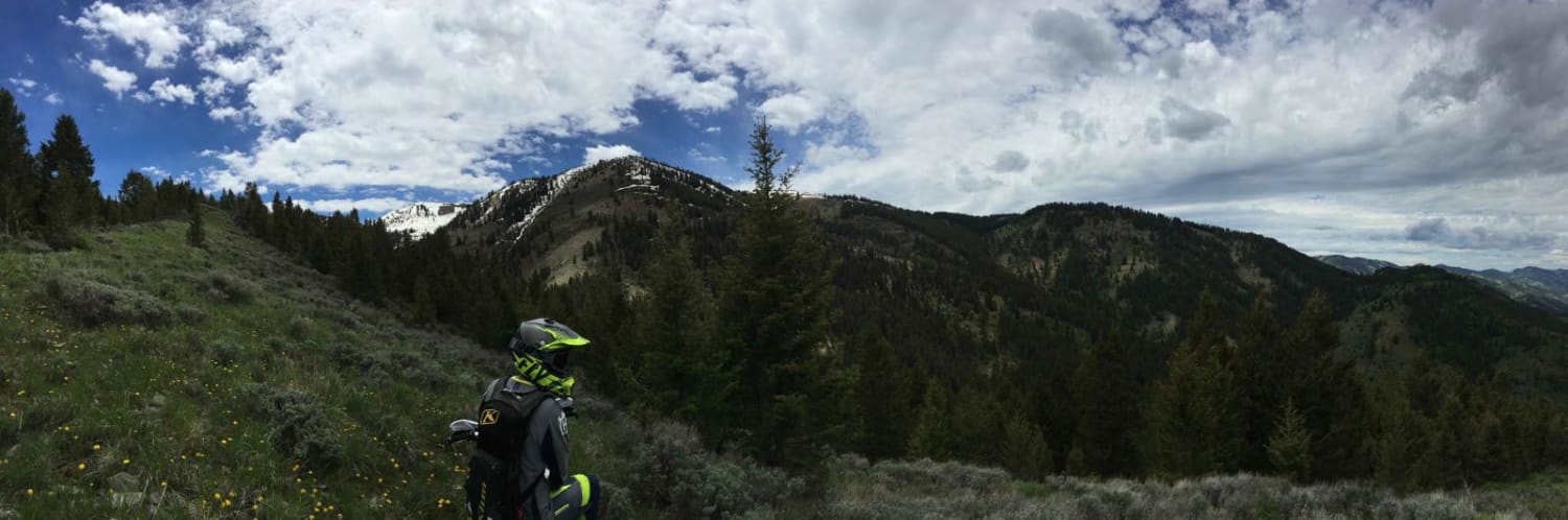
Rock Creek
Total Miles
16.1
Elevation
1,856.39 ft
Duration
1.5 Hours
Technical Rating
Best Time
Spring, Summer, Fall
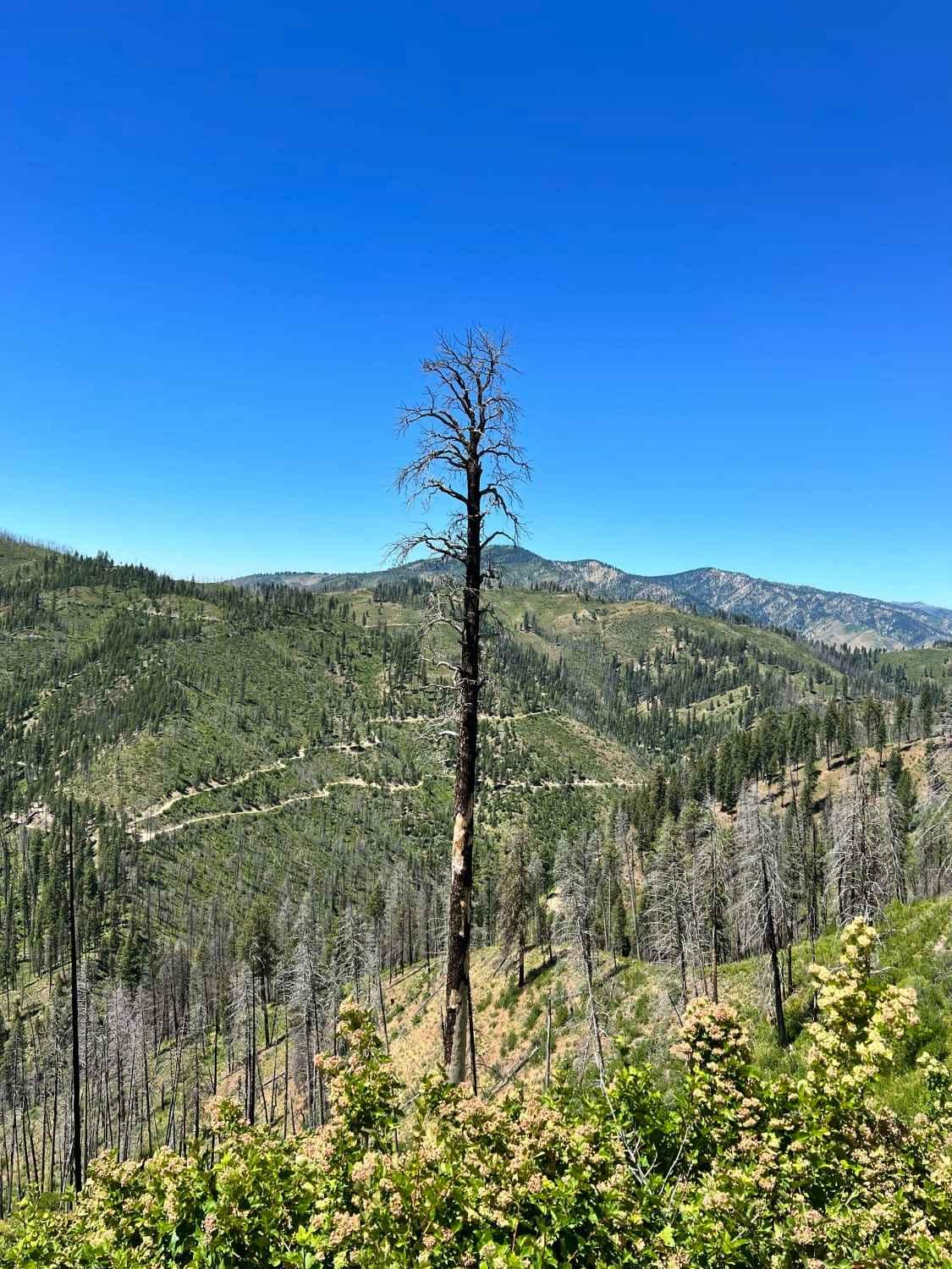
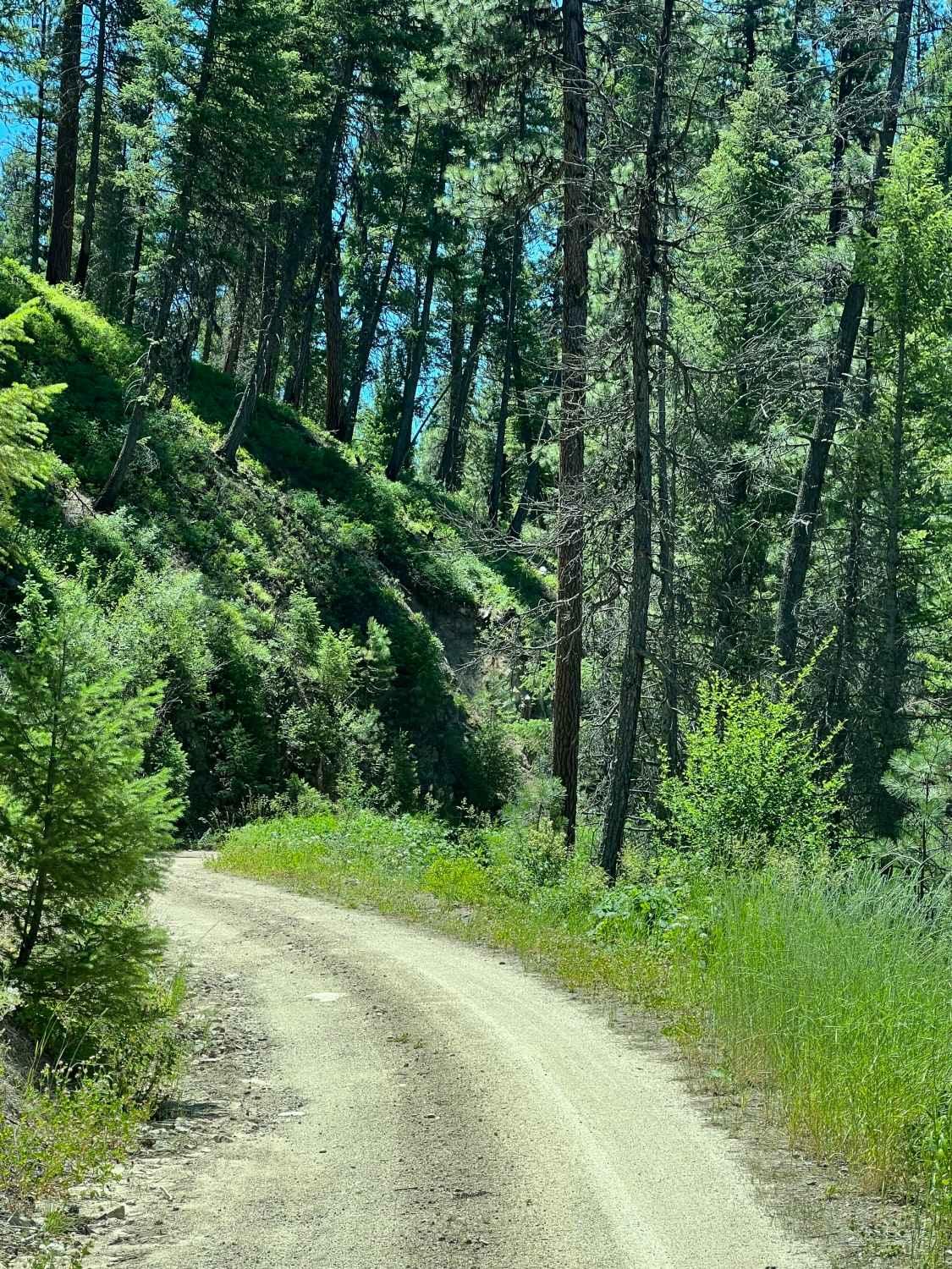
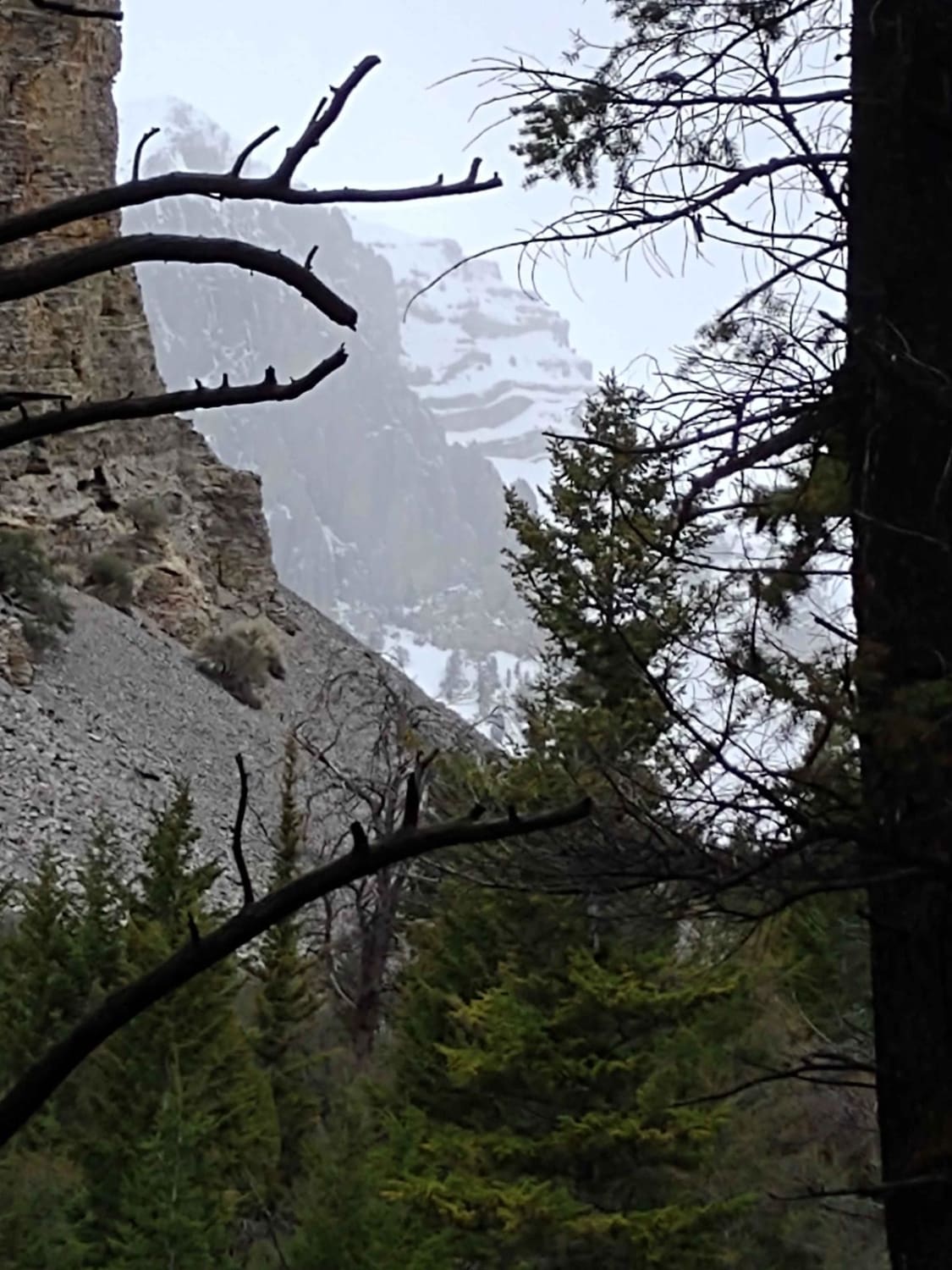
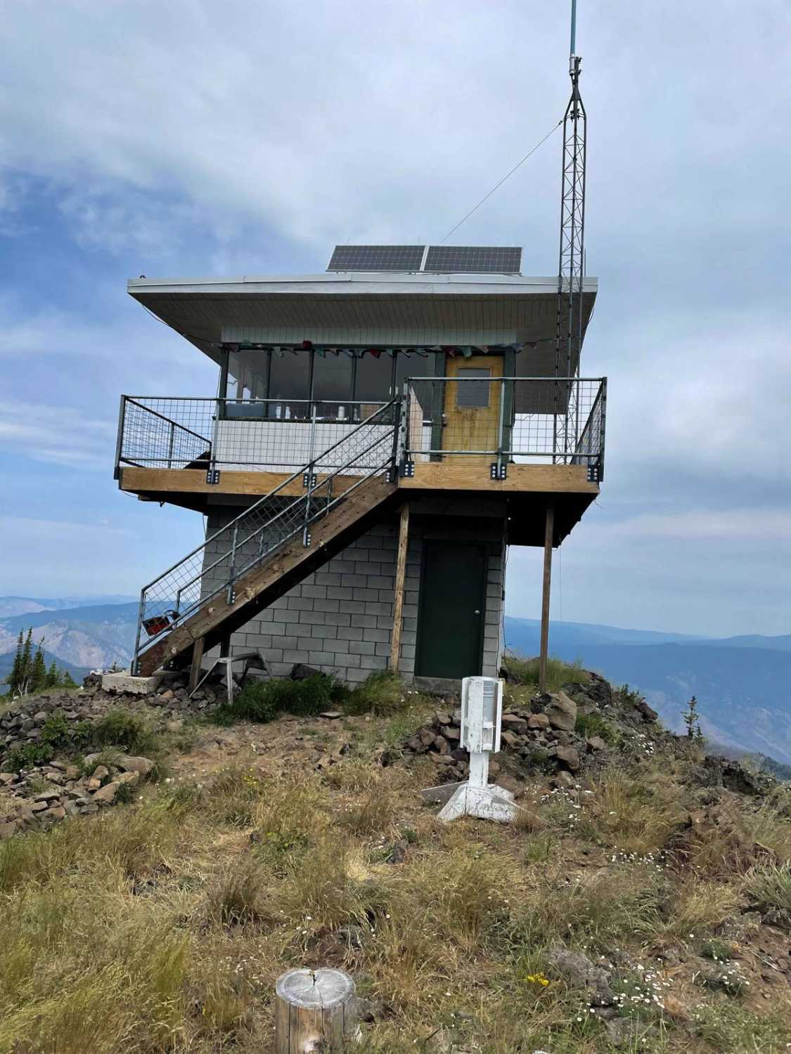
Trail Overview
Rock Creek trail is a 16-mile route that starts just south of Lowman, ID, winds its way up 2,200'+ in elevation, and then dumps the rider onto Highway 21 near Beaver Creek Summit. The route offers excellent views of the surrounding Boise Nat'l Forest, a few small creeks, a couple of great camping spots, and wildlife viewing opportunities. The trail surface is rocky dirt, has minimal erosion in most areas, has no major ledges or drops to be encountered, and is passable by most vehicles (including stock SUVs) in the warmer months. The trail is very narrow for most of the 16 miles, with few pull-outs to allow other vehicles to pass, so exercise extreme caution and be vigilant of oncoming traffic, which seems minimal most of the time. Adverse weather conditions and the trail's narrow path will impact the safety of this trail as very large drop-offs are present most of the way.
Photos of Rock Creek
Difficulty
Difficulty along this route will occur in situations when meeting oncoming traffic and/or during inclement weather. The trail is very narrow in many areas with large drop-offs along the edge. Therefore, if the surface is compromised by mud or snow, it's advised that you do not attempt.
Status Reports
Popular Trails

Hammond Kyle Divide
Chimney Gulch to Mammoth Canyon
Muddy Creek to Where Stuff Gets Real
The onX Offroad Difference
onX Offroad combines trail photos, descriptions, difficulty ratings, width restrictions, seasonality, and more in a user-friendly interface. Available on all devices, with offline access and full compatibility with CarPlay and Android Auto. Discover what you’re missing today!