Little Rock Creek
Total Miles
3.4
Technical Rating
Best Time
Summer, Fall
Trail Type
Full-Width Road
Accessible By
Trail Overview
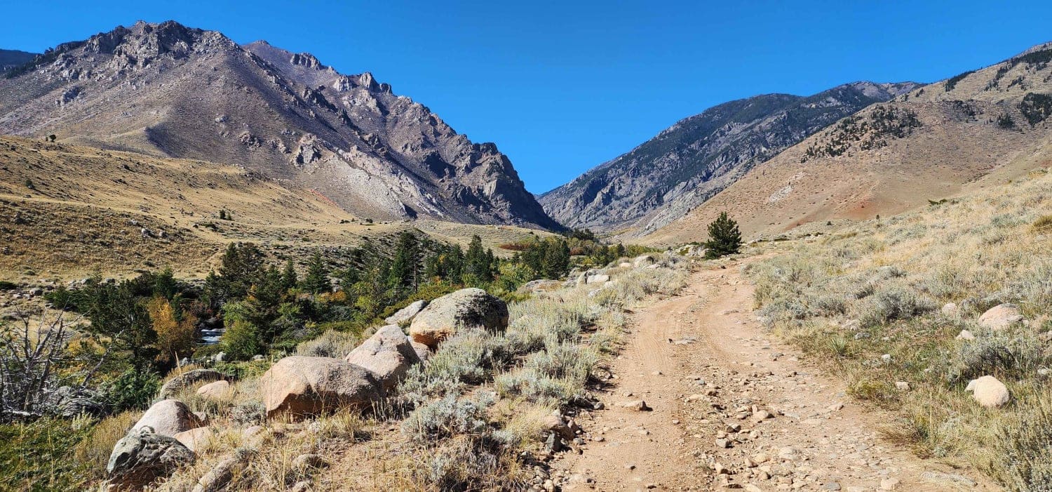
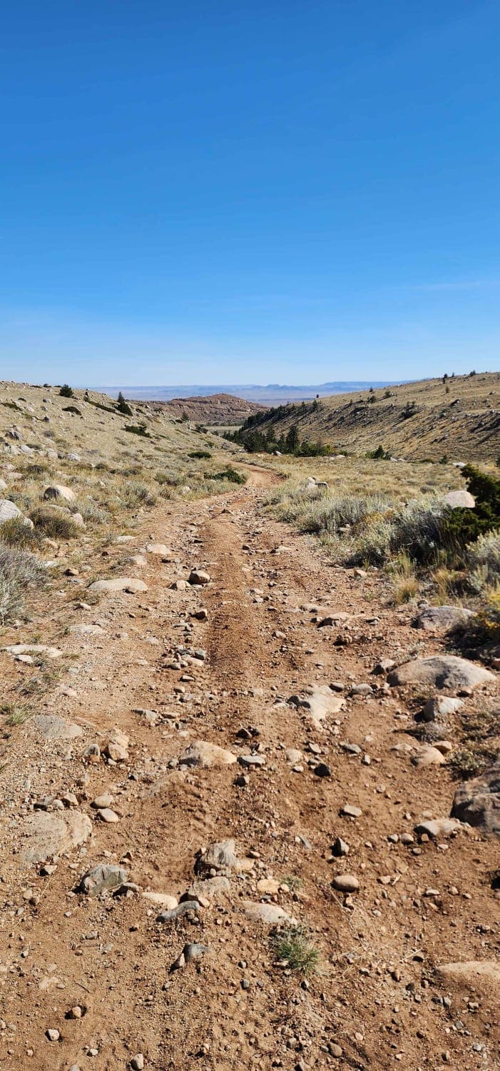
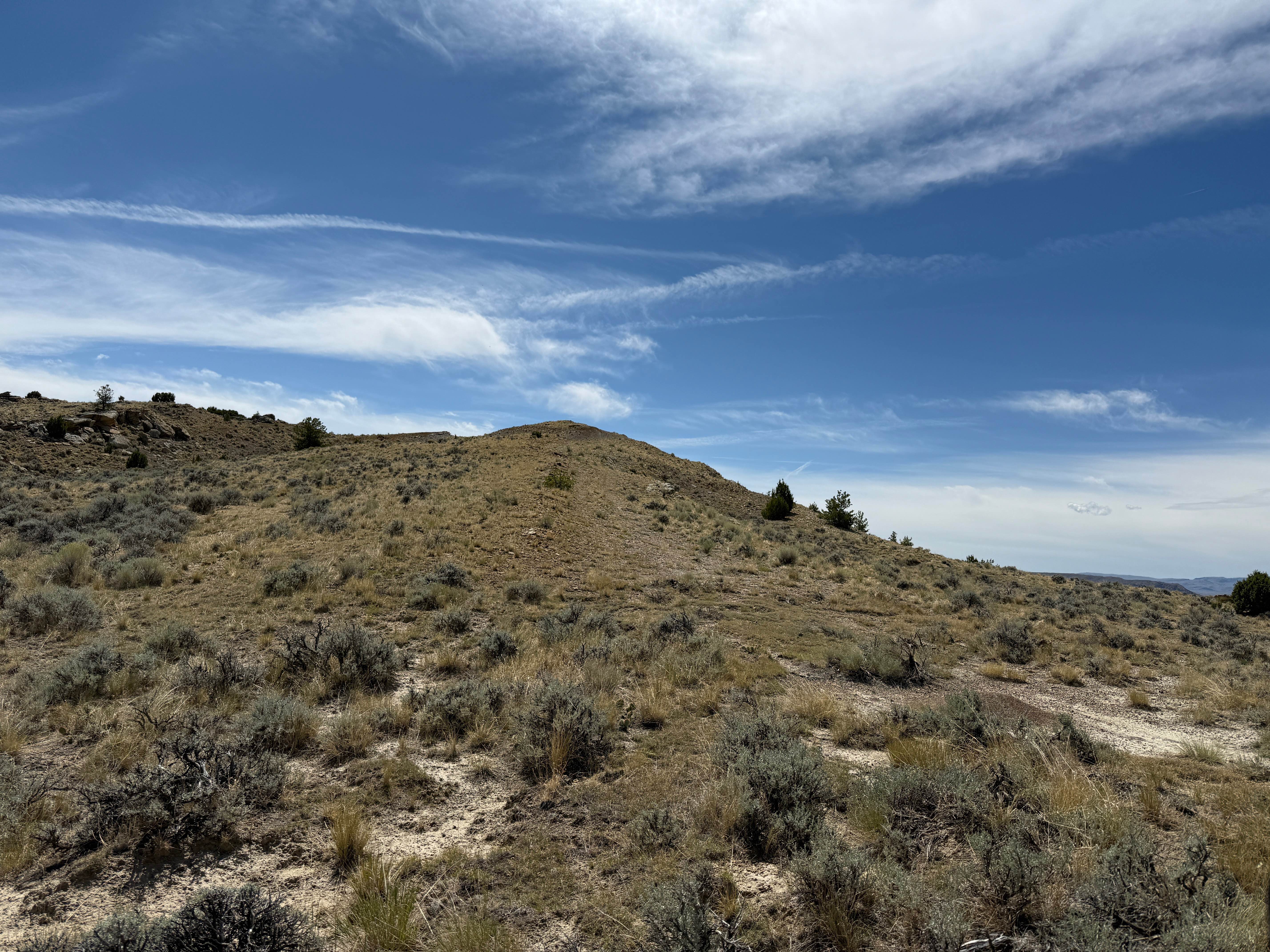
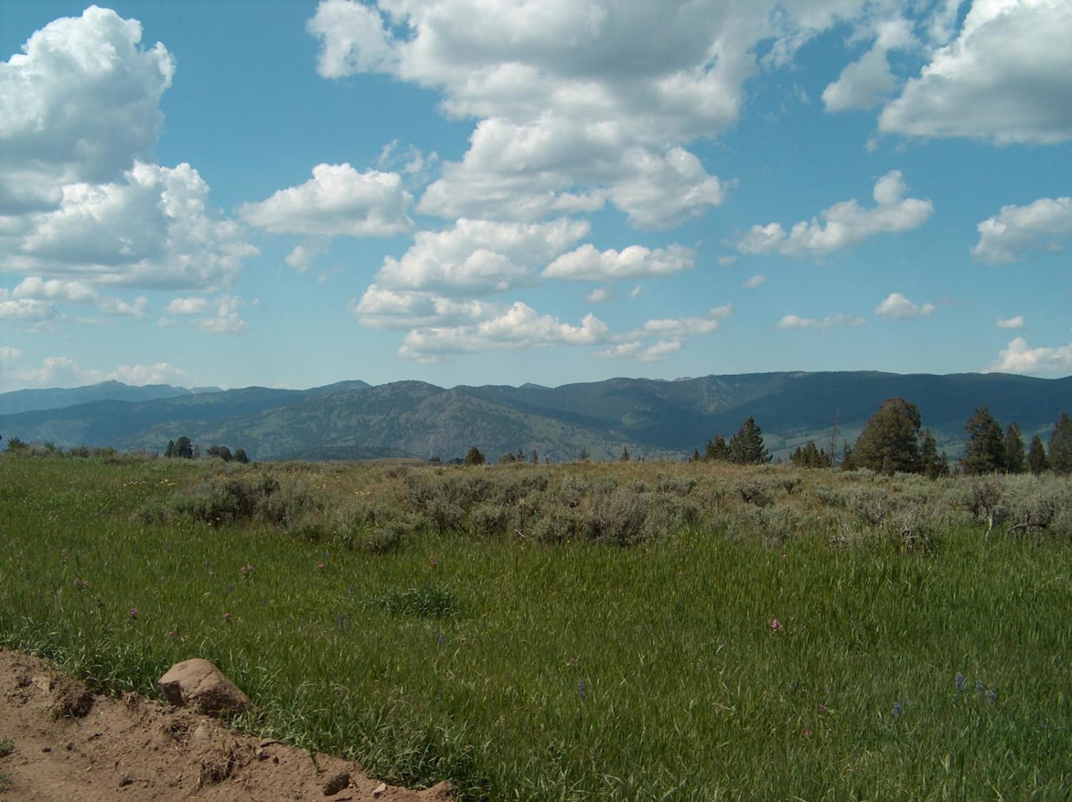
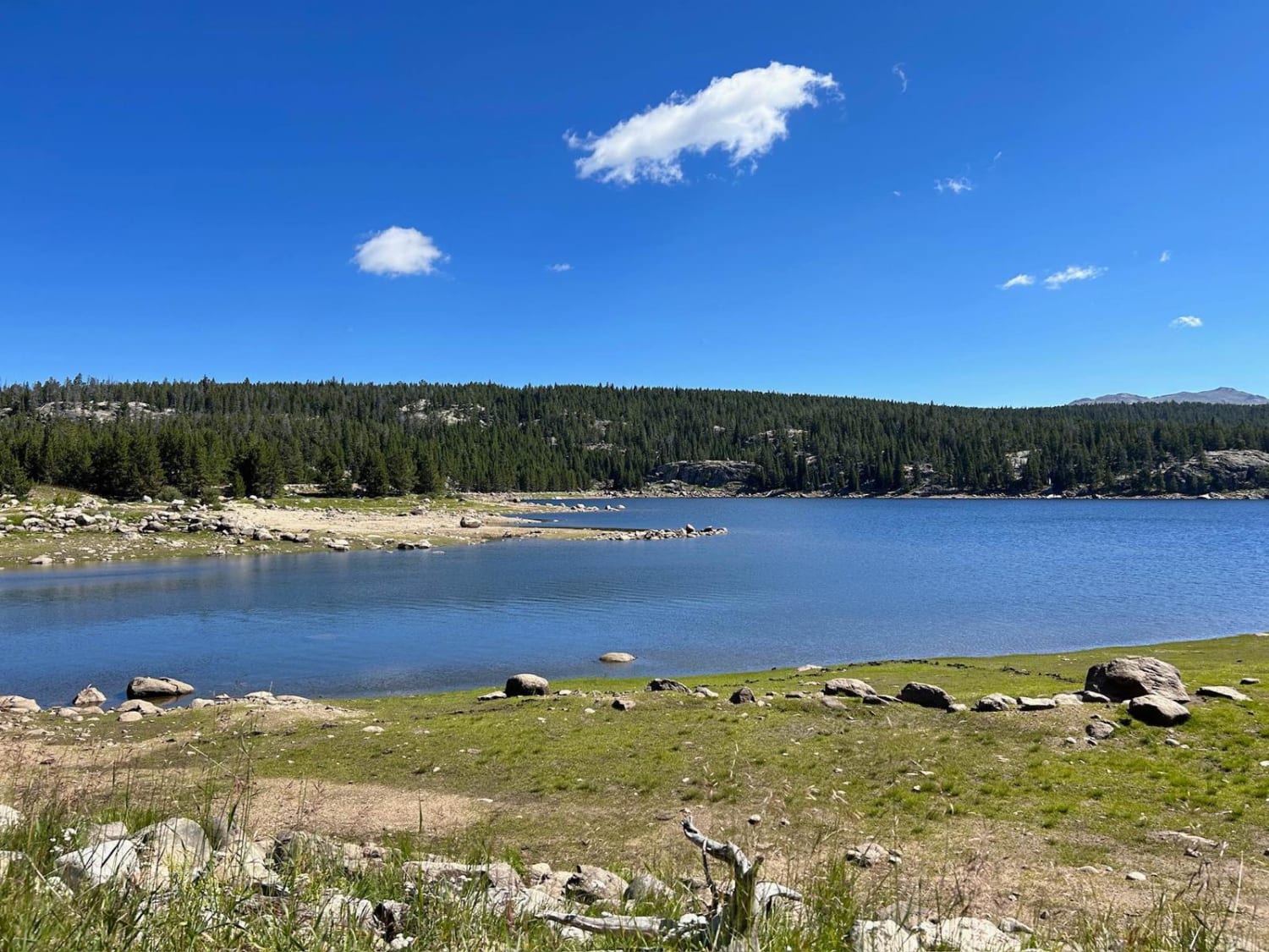
Little Rock Creek runs out of the Beartooth Mountains and is located in Shoshone National Forest West of the town of Clark, Wyoming. There are two very long and difficult trailheads; the one on the right fork goes to the top of the Beartooths, and the one on the left goes to Deep Lake. These trails are very roughly marked and difficult to hike. The road is easy and not technical except for a couple of short spots marked on the map. It is well maintained and varies from very rocky to sandy with a few large rocks to maneuver around. This route is about 6 miles out and back. The end of the trail at its northernmost point is an unnamed peak with spectacular views of the Clarks Fork Yellowstone River Valley. Most of this trail has no cell service, so make sure to download your maps before you leave. This is grizzly bear country, so bring bear spray or a firearm.
Photos of Little Rock Creek
Difficulty
90% of this trail was well maintained rocky road, but there were a couple parts that required high clearance to navigate through some deep washes and large rocks in the road.
Little Rock Creek can be accessed by the following ride types:
- High-Clearance 4x4
- SUV
- SxS (60")
- ATV (50")
- Dirt Bike
Little Rock Creek Map
Popular Trails
Blacktail Plateau
SR 271 Shell Reservoir
The onX Offroad Difference
onX Offroad combines trail photos, descriptions, difficulty ratings, width restrictions, seasonality, and more in a user-friendly interface. Available on all devices, with offline access and full compatibility with CarPlay and Android Auto. Discover what you’re missing today!