Los Pinos Mtn. Loop
Total Miles
18.9
Technical Rating
Best Time
Spring, Fall
Trail Type
Full-Width Road
Accessible By
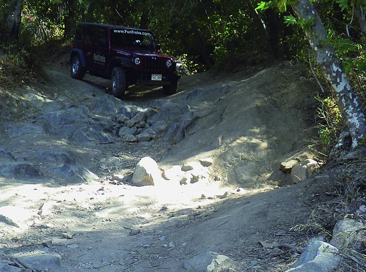
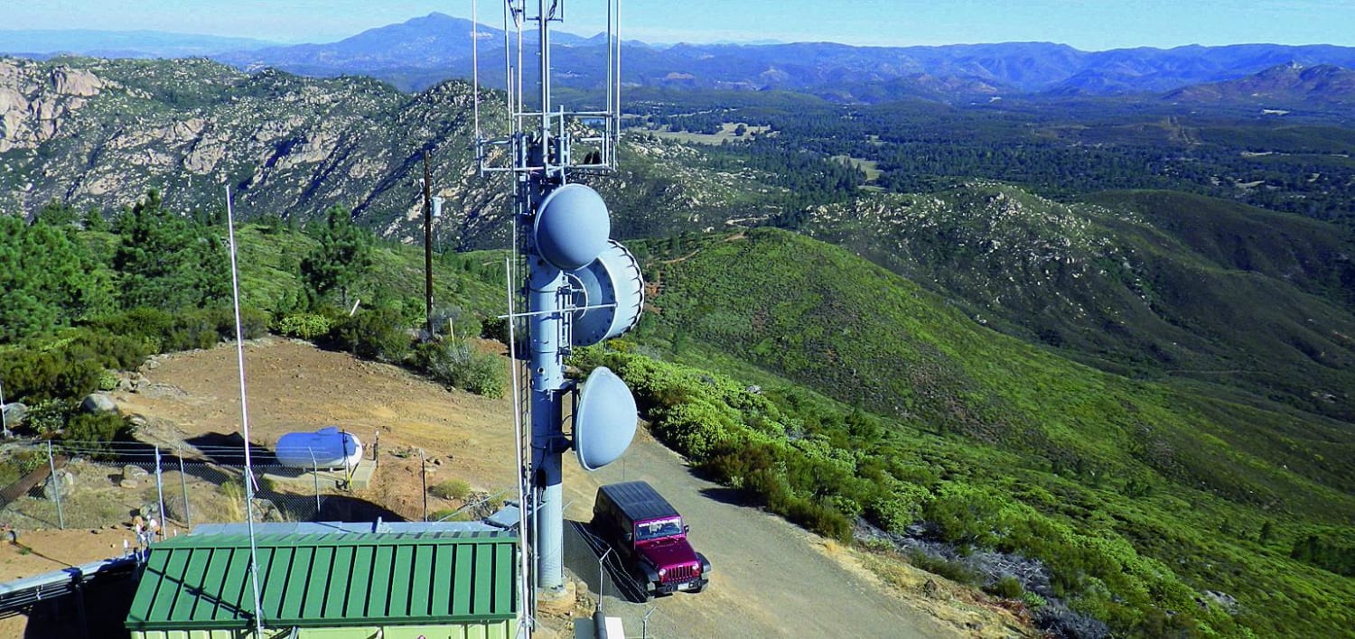
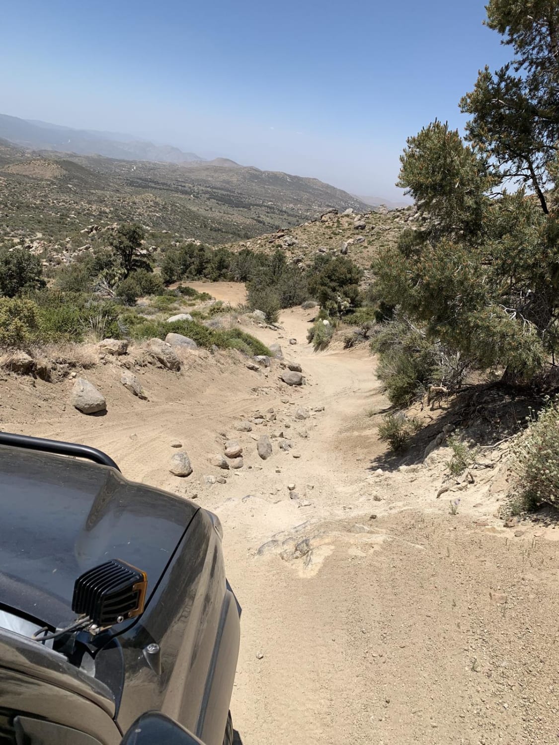
Trail Overview
Since our last visit in 2002, the first part of this loop-to the fire lookout tower-has been paved. ATVs are not allowed on this portion. The remainder of the loop is all dirt as it circles south around the outside of Corral Canyon OHV Area, which is open all year to green-sticker vehicles. Great views along the route, including from the top of Los Pinos Mountain. Fee and dispersed camping available.
Photos of Los Pinos Mtn. Loop
Difficulty
Moderate: Mostly easy except for the section between Waypoints 02 and 04. This portion is narrow, steep, brushy and rutted in spots, but suitable for high clearance stock 4x4 SUVs.
History
Los Pinos' is Spanish for 'The Pines,' which you'll see in abundance from the Forest Service fire tower at the top of the mountain. The tower, originally built in the 1920s and replaced in the 1960s, is one of few remaining in California manned full time.
Status Reports

Popular Trails

95 to Balancing Rock Camp

Holcomb Valley - 3N16
The onX Offroad Difference
onX Offroad combines trail photos, descriptions, difficulty ratings, width restrictions, seasonality, and more in a user-friendly interface. Available on all devices, with offline access and full compatibility with CarPlay and Android Auto. Discover what you’re missing today!