Steele Pass
Total Miles
35.9
Technical Rating
Best Time
Spring, Winter
Trail Type
High-Clearance 4x4 Trail
Accessible By
Trail Overview
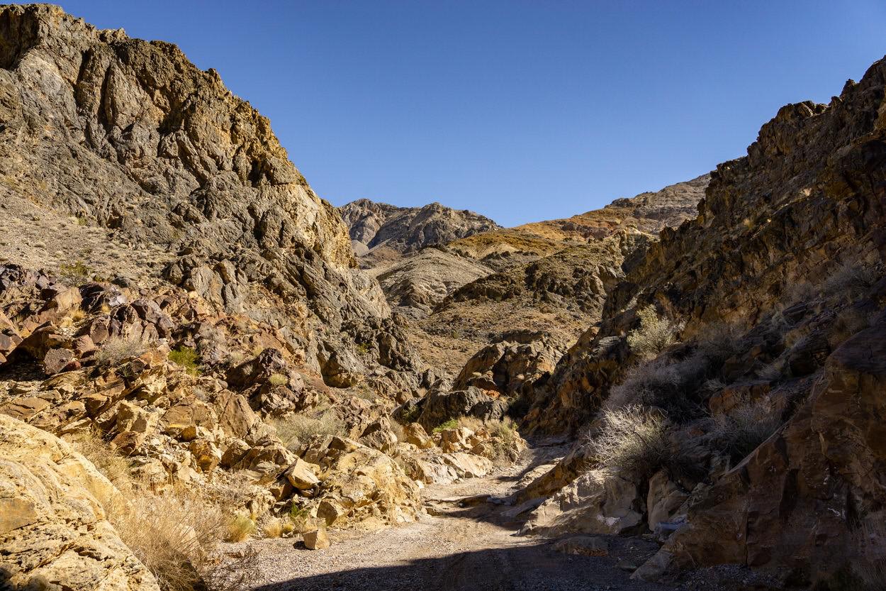
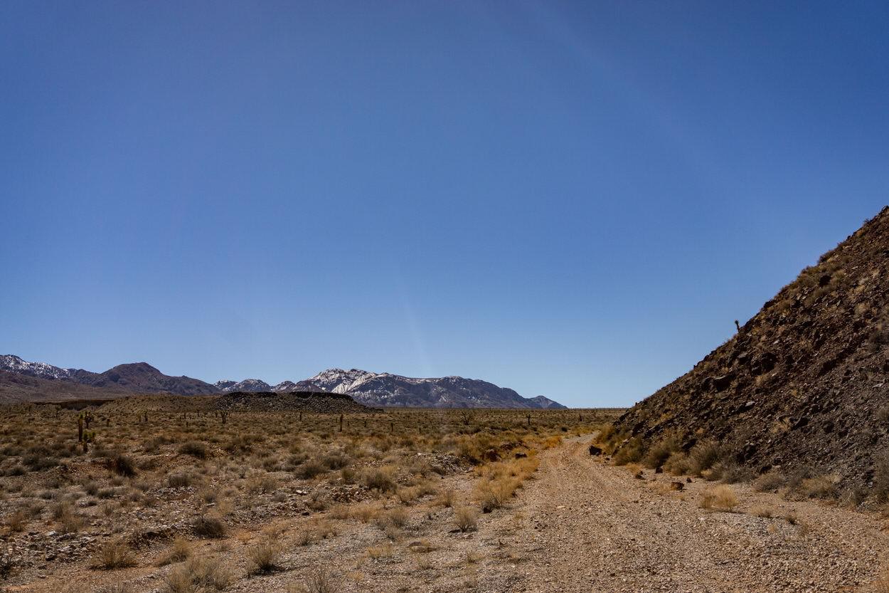
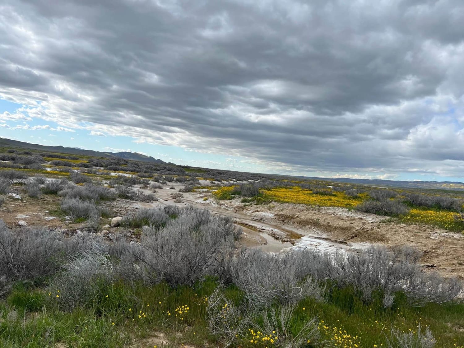
This is a 36-mile long Death Valley classic. You'll traverse silt beds, canyons and ever changing washes. This route is doable in a variety of vehicles, but requires skill with larger vehicles as some of the waterfall obstacles in Dedeckera Canyon are narrow with limited room before and after. Leading into the canyon, there are a number of silt beds on the back side of the dunes. Drive carefully through them to avoid unexpected obstacles in the ruts. Dedeckera Canyon begins about 6 miles from the Eureka Dunes camp and is the most challenging portion of the trail. If you're a first timer, walk the waterfalls first to determine the best lines for your vehicle. Long wheel base vehicles are not advised without previous experience. Climbing from the canyon about 13 miles from the dunes, the trail reaches its peak of 5,000 feet elevation before descending into Saline Valley some 3,800 feet below. Seasonal washes can change the trail from year to year, however there is a relatively well-established path through the various washes coming into the valley. Towards the end of the trail, you'll come into the Saline Valley Hot Springs. Please research the rules and regulations of this location before arriving, and understand that these hot springs support both clothed and nude bathing. On this trail, the views looking back at Eureka Valley and approaching Saline Valley are beautiful and completely capture the Death Valley experience. It can be traveled in both directions but is a well-traveled, two-track road, so be aware of oncoming vehicles, pedestrians or cyclists. Like much of Death Valley, this trail has no cell coverage with the closest point of contact at the Hot Springs.
Photos of Steele Pass
Difficulty
Waterfalls in Dedeckera Canyon require more advanced skills, and the wash coming into Saline Valley has some narrow turns with rocks on both sides.
Status Reports
Popular Trails

Renstock Ridge Spur A - 2N79A

Noonchester Mine

McGee Canyon West
The onX Offroad Difference
onX Offroad combines trail photos, descriptions, difficulty ratings, width restrictions, seasonality, and more in a user-friendly interface. Available on all devices, with offline access and full compatibility with CarPlay and Android Auto. Discover what you’re missing today!


