BLM 1606
Total Miles
1.9
Technical Rating
Best Time
Spring, Fall, Winter
Trail Type
High-Clearance 4x4 Trail
Accessible By
Trail Overview
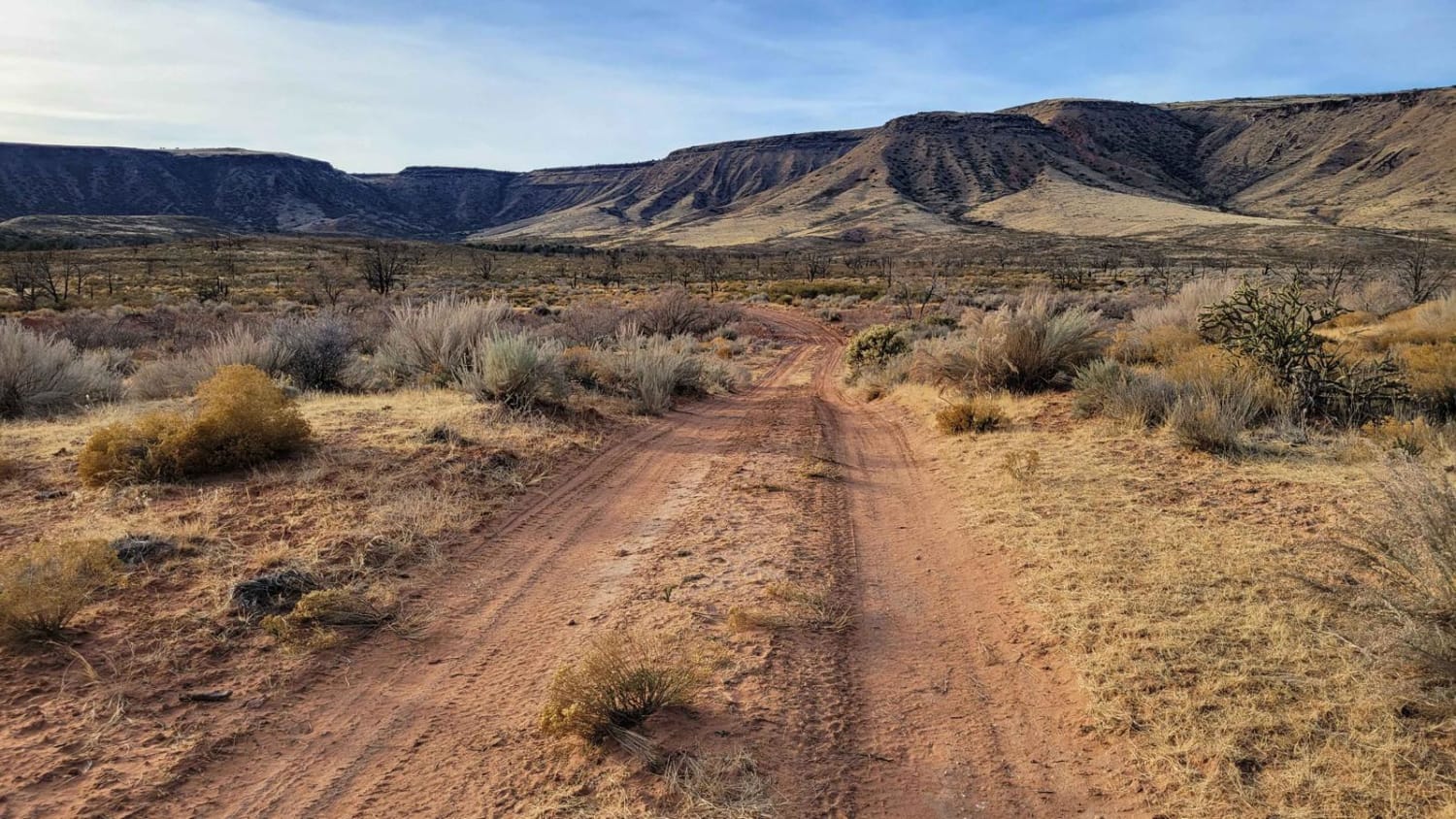
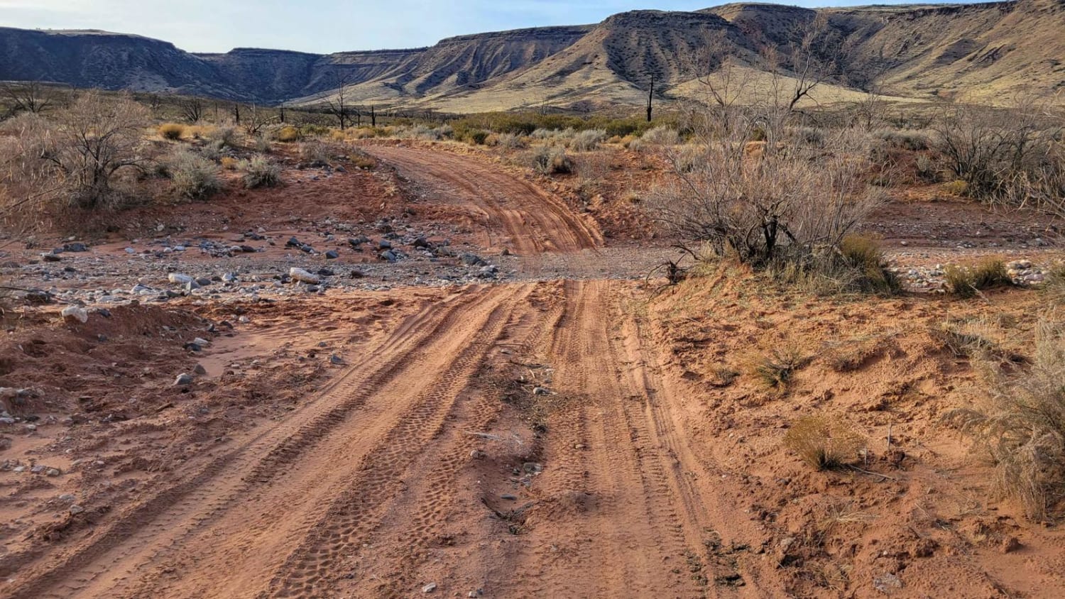
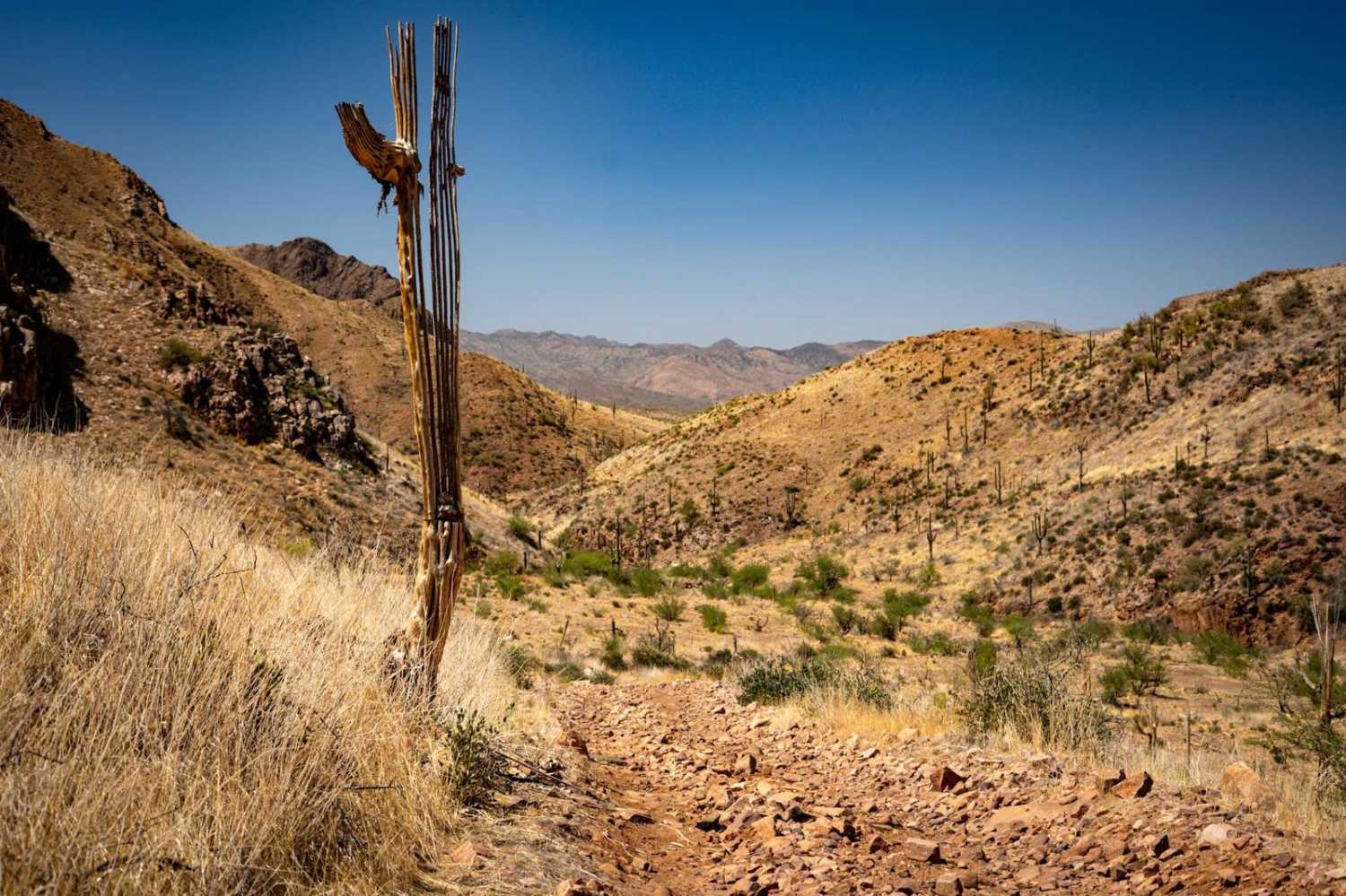
Beginning off Black Canyon Road (BLM 1007), BLM 1606 appears to be a very promising trail that is a wide and defined two-track, complete with many present tire tracks. However, this is more than likely due to the active corral about a half mile into the trail. Beyond the corral, the trail and any tire marks virtually disappear, with the most common prints simply being from the livestock in the area. BLM 1606 was most definitely a trail at one point, as you can see it defined in the landscape and going up the hillside, but it has likely not been traveled much in quite a long time. According to the map, the trail continues beyond the end of the recorded track and supposedly climbs (off-camber) up onto the plateau, but this could not be verified. Beyond the corral, the trail becomes immensely rocky (loose and large rocks) and very uneven, and even more so the further uphill you travel. Another adventurer can discover if the trail does indeed connect atop the plateau. Full-size (wide) vehicles are not recommended as the trail becomes narrow with overgrown vegetation beyond the corral. Be advised that livestock are free-roaming in this area and can be on the trail. There are no trail markers or indicators present. As a reminder, the Arizona Strip is incredibly remote with no service and hardly any visitors. Summer months will reach triple-digit temperatures and freezing temperatures in the winter months. Be prepared when venturing out here.
Photos of BLM 1606
Difficulty
BLM 1606 begins as a very promising trail that is a wide and defined two-track, complete with many present tire tracks. However, beyond the corral about a half mile in, the trail becomes immensely rocky (loose and large rocks) and very uneven, and even more so the further uphill you travel. Full-size (wide) vehicles are not recommended as the trail becomes narrow with overgrown vegetation beyond the corral.
Status Reports
BLM 1606 can be accessed by the following ride types:
- High-Clearance 4x4
- SxS (60")
- ATV (50")
- Dirt Bike
BLM 1606 Map
Popular Trails

Bullard Wash South
Cinder Hills OHV Area 776
Muffler Mountain
The onX Offroad Difference
onX Offroad combines trail photos, descriptions, difficulty ratings, width restrictions, seasonality, and more in a user-friendly interface. Available on all devices, with offline access and full compatibility with CarPlay and Android Auto. Discover what you’re missing today!
