Little Rock Road
Total Miles
5.7
Elevation
493.02 ft
Duration
--
Technical Rating
Best Time
Summer, Fall, Winter
Trail Overview
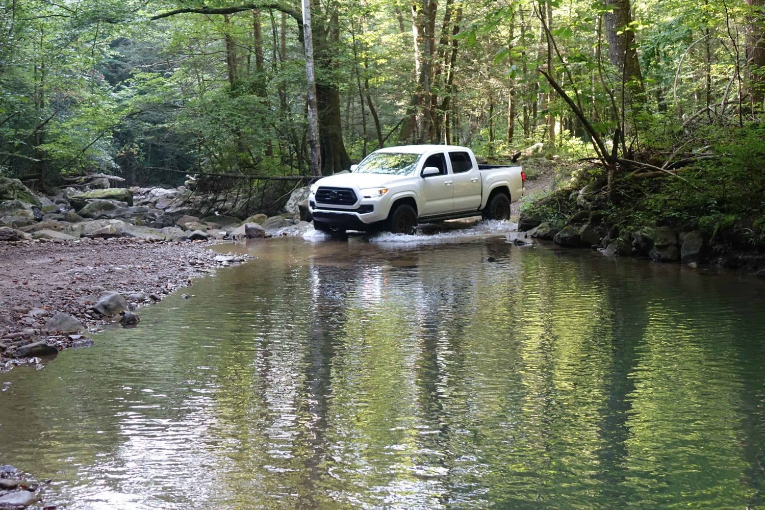
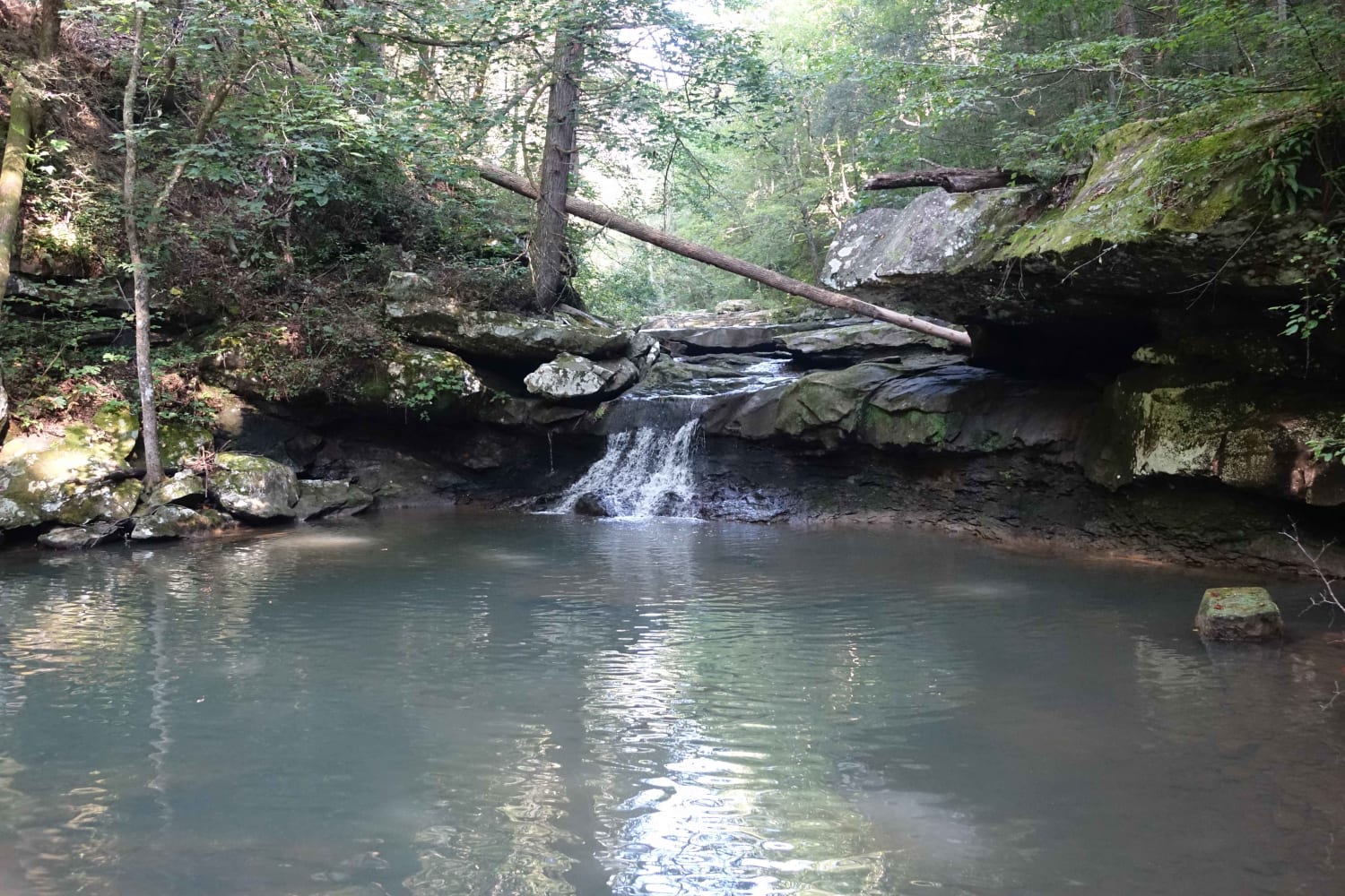
Little Rock Road connects Stephens Knob Road with Jellico Creek and Angel Mountain. The northern portion is mostly gravel and better maintained the southern portion where you'll find a few water crossings and rocky sections. Along this road, there are a few waterfalls accessible by either walking along the creek or scrambling over the bank. A couple of camping spots are accessible via side trails. There's also a historic graveyard and few residences before the road turns to pavement. Cell service improves as the road continues north.
Photos of Little Rock Road
Difficulty
Unless the creek was high all of the water crossings are stock vehicle-friendly.
Status Reports
Popular Trails

Old Silver Trail - FS 320

Little Rock Road

Pick Your Poison

White Oak Branch Road - Horse Lick Creek
The onX Offroad Difference
onX Offroad combines trail photos, descriptions, difficulty ratings, width restrictions, seasonality, and more in a user-friendly interface. Available on all devices, with offline access and full compatibility with CarPlay and Android Auto. Discover what you’re missing today!
