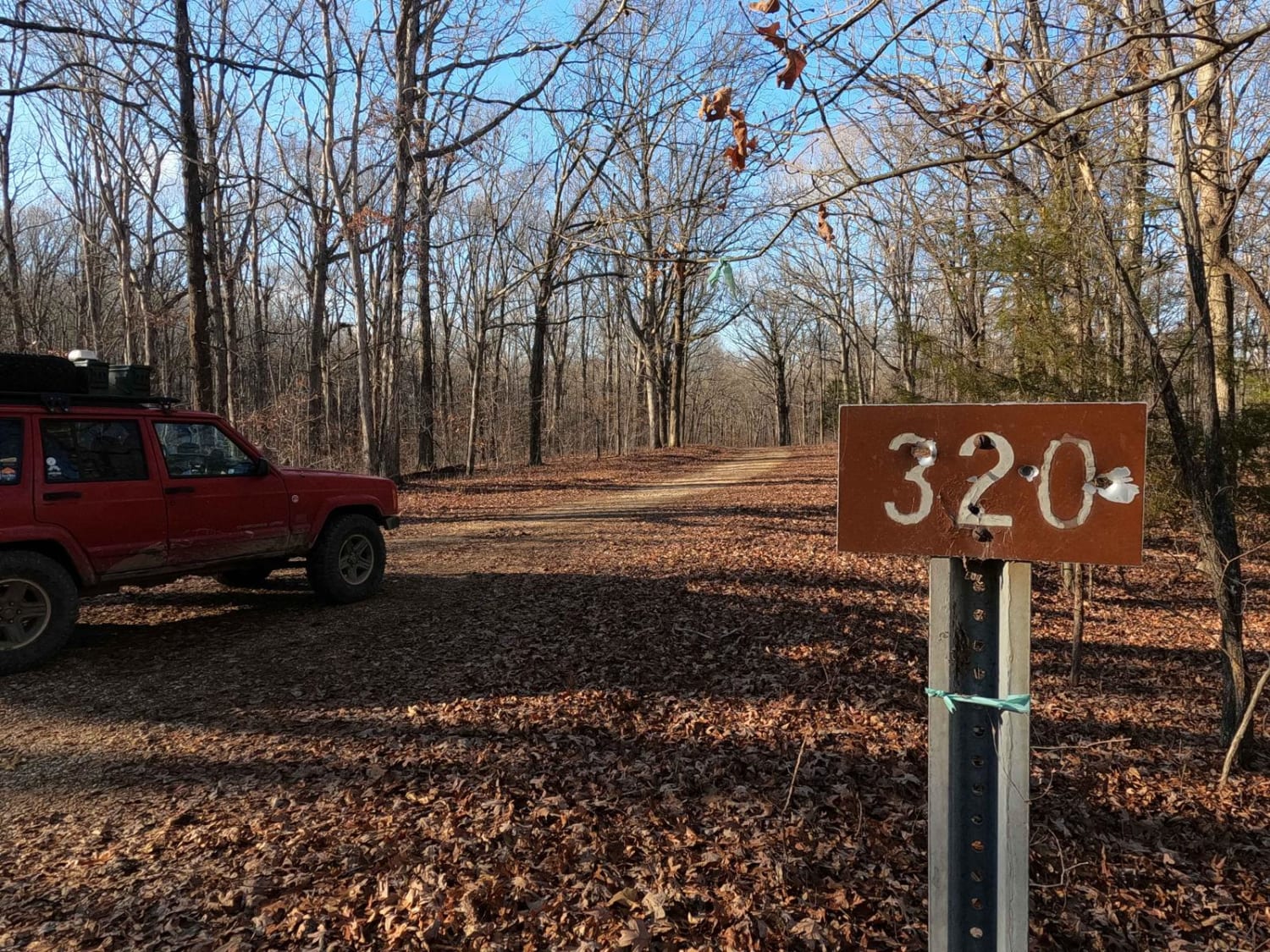
Old Silver Trail - FS 320
Total Miles
1.5
Technical Rating
Best Time
Spring, Summer, Fall, Winter
Trail Type
Full-Width Road
Accessible By
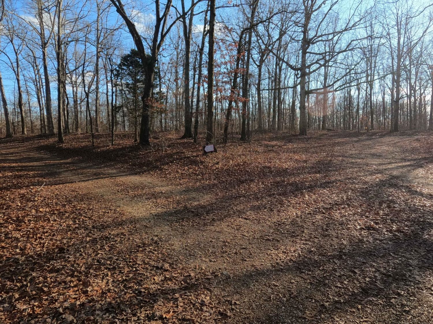
Trail Overview
Old Silver Trail FS 320 is a natural/gravel forestry route through the inland area of the center Kentucky section of the Land Between the Lakes National Recreation Area. This trail parallels the east of Woodland Trace, featuring coarse natural gravel over a dirt foundational base, with a few up-and-down grades of small hills, including small water collection holes in the valleys and mild erosion ruts on the grades. In some sections, the trail surface turns to solid dirt, which when wet turns to surface mud. The trail has a secondary midway entry point to the Woodland Trace at 36.85601, -88.08559 and has a portion that crosses the powerline trunk at 36.86202, -88.07969. To the south, you can see the Ironton Road II FS 144 in the distance. Overall, it's a fun little trail to use as many non-pavement routes paralleling the Woodland Trace, or when traveling north/south in Land Between The Lakes.
Photos of Old Silver Trail - FS 320
Difficulty
The Old Silver Trail, features a generally simple track, especially if it is dry. In a more average state, it will be a low demanding 2/10, featuring small water collection holes up to 12 inches in depth, and mild (up to 12-inch deep) erosion ruts along the mild-grade hills. The coarse gravel can fade to dirt in sections and have the potential then to turn to surface mud in wet conditions. Difficulty can increase in times of wet conditions, inclement weather, and heavy use.
History
Nearby, there is a former settlement town called Hematite, Kentucky, where from 1852 to 1912 a Pig Iron Furnace operated. It is now known as the Center Furnace. The road name of Silver Trail, in this case Old Silver Trail, is historically attached to the Pig Iron smelting industry. The Silver Trail name comes from it being the main road of transport for the Paymaster that gave the employees of the Center Furnace their pay. Granted, this pay was mostly in the form of scrip to be used in the smelting company-owned general store, therefore keeping the money within its network, which in today's world is an illegal practice.
Status Reports
Old Silver Trail - FS 320 can be accessed by the following ride types:
- High-Clearance 4x4
- SUV
Old Silver Trail - FS 320 Map
Popular Trails

Jackson Branch - Power Lines

The onX Offroad Difference
onX Offroad combines trail photos, descriptions, difficulty ratings, width restrictions, seasonality, and more in a user-friendly interface. Available on all devices, with offline access and full compatibility with CarPlay and Android Auto. Discover what you’re missing today!