Decoy-Magoffin Loop
Total Miles
28.8
Technical Rating
Best Time
Spring, Summer, Fall, Winter
Trail Type
60" Trail
Accessible By
Trail Overview
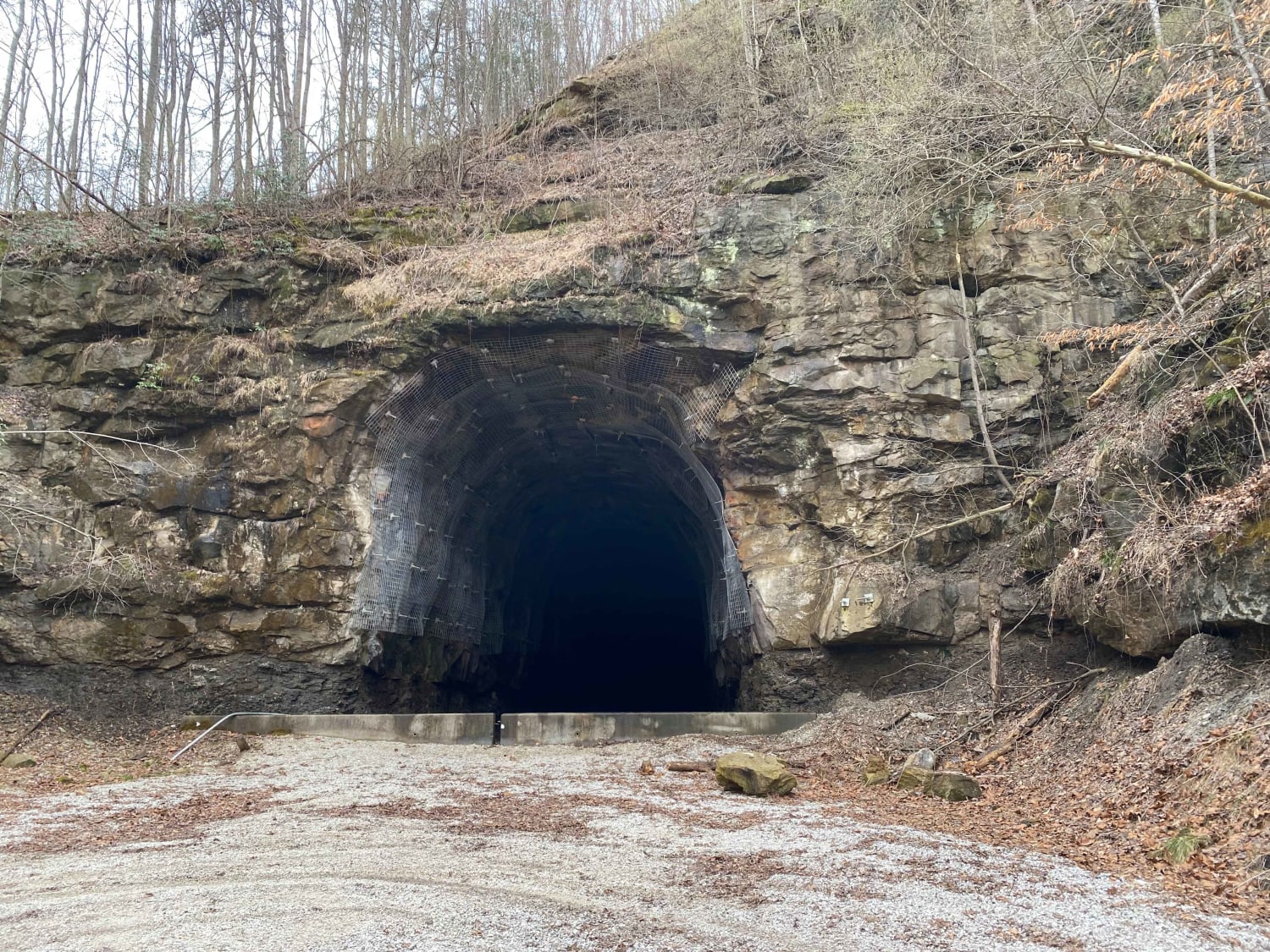
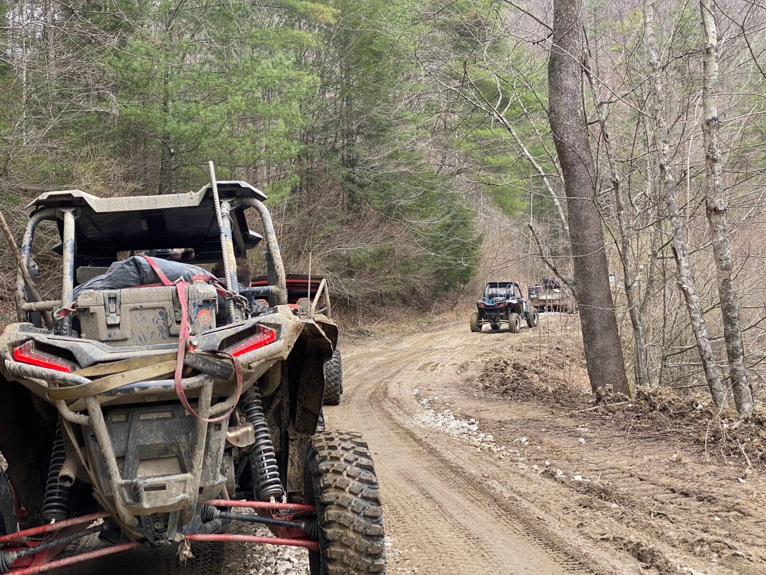
As with many trails in the under-development system that will become Eastern Kentucky's expansive off-road trail offerings, this route is a DIY adventure created by locals that know these mountains like the backs of their hands. Accessed from established trailheads like Mine Made Adventure Park and Southfork Elk View, this is a great route for group rides that are not looking to tackle the roughest of terrain while still enjoying a day on the trails. The route consists of existing coal haul roads, logging roads, and unmaintained county roads. This route includes stops at abandoned train tunnels that were in the process of opening to trail users and ultimately abandoned again and an out-and-back to an overlooking knob on a reclaimed strip mine. The route climbs and descends several hills, and cell service is spotty, so download offline maps prior to leaving the trailhead.
Photos of Decoy-Magoffin Loop
Difficulty
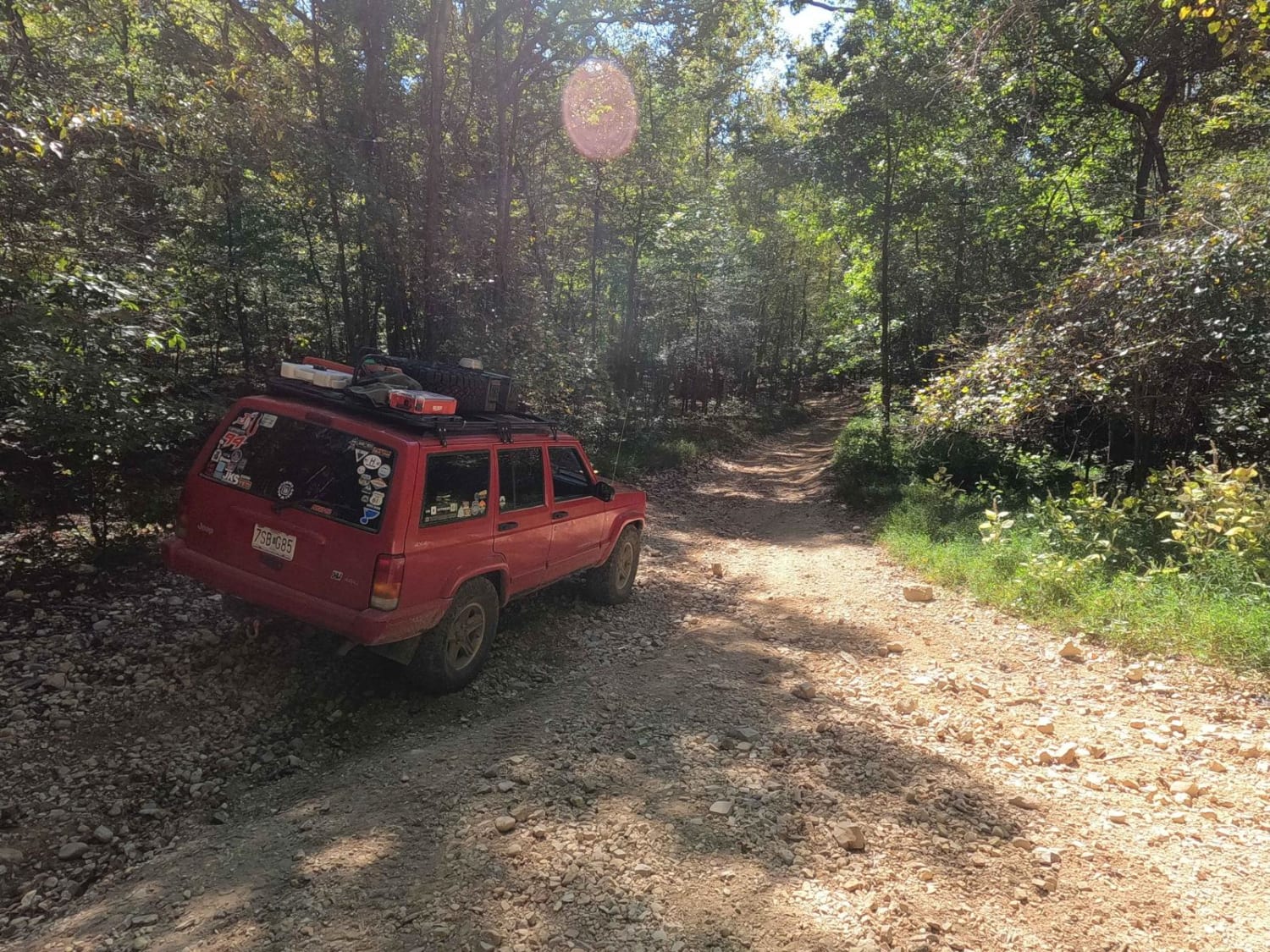
This route includes a full gamut of trail surfaces, most of the route is easily navigable with some trails becoming too narrow for full size rigs and creek banks that require moderate clearance.
Status Reports
Popular Trails
3 to A Road
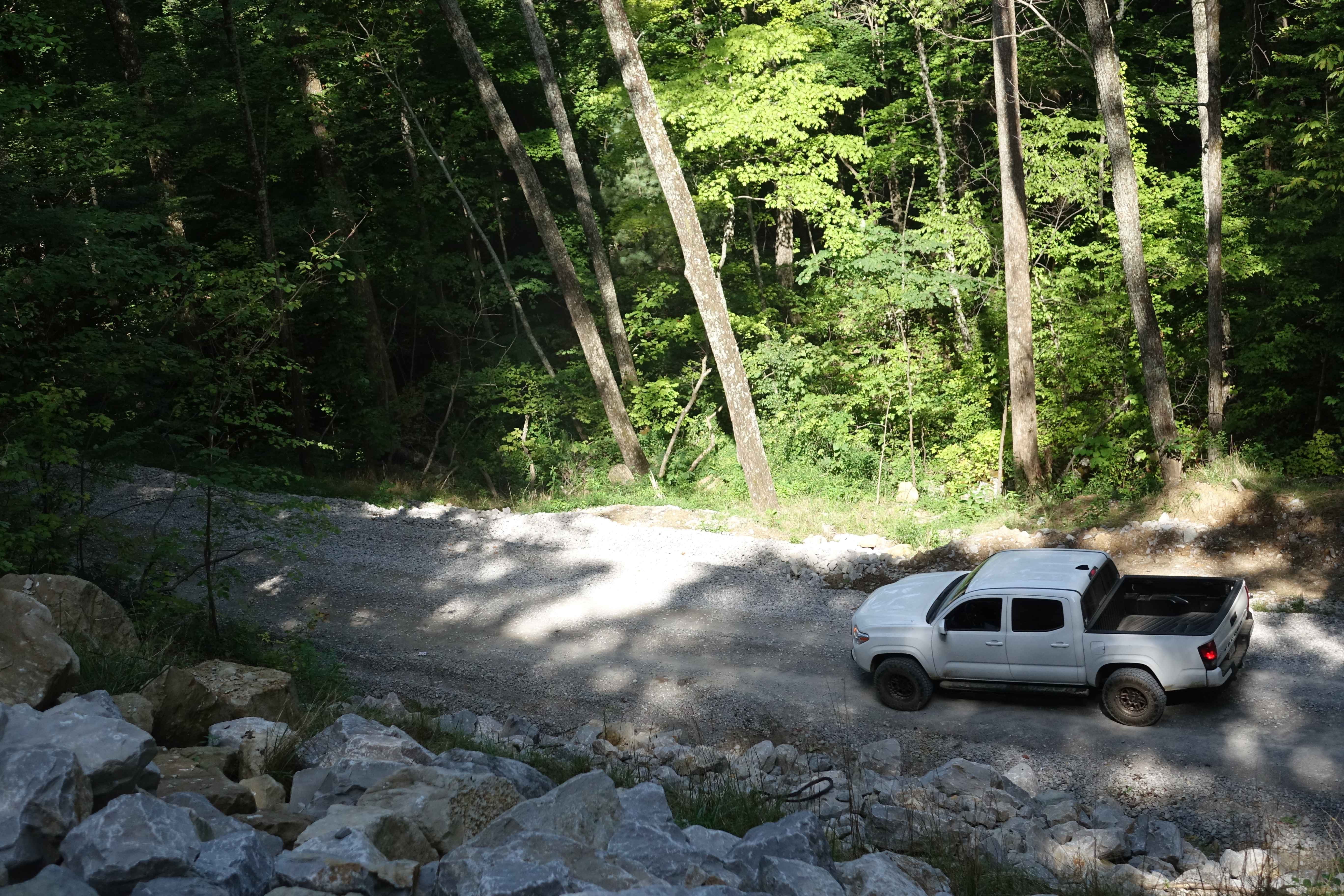
Ryans Mountain Road
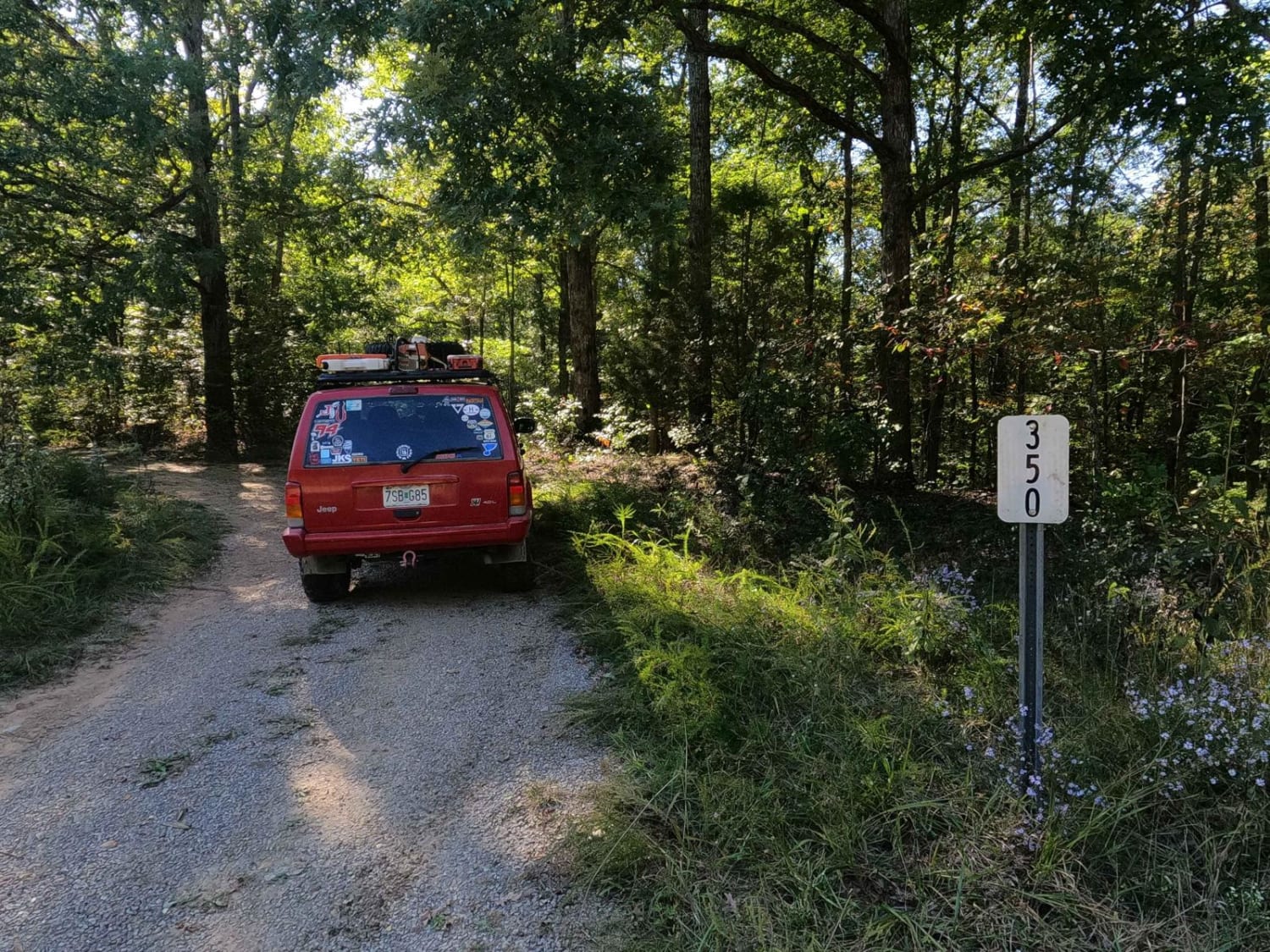
Block House Road - FS 350
The onX Offroad Difference
onX Offroad combines trail photos, descriptions, difficulty ratings, width restrictions, seasonality, and more in a user-friendly interface. Available on all devices, with offline access and full compatibility with CarPlay and Android Auto. Discover what you’re missing today!
