Cumberland Road
Total Miles
6.7
Technical Rating
Best Time
Spring, Summer, Fall, Winter
Trail Type
Full-Width Road
Accessible By
Trail Overview
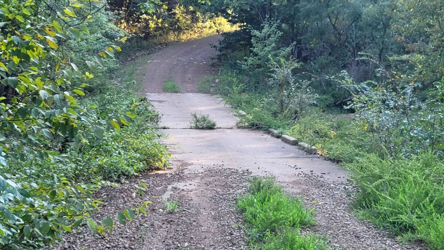
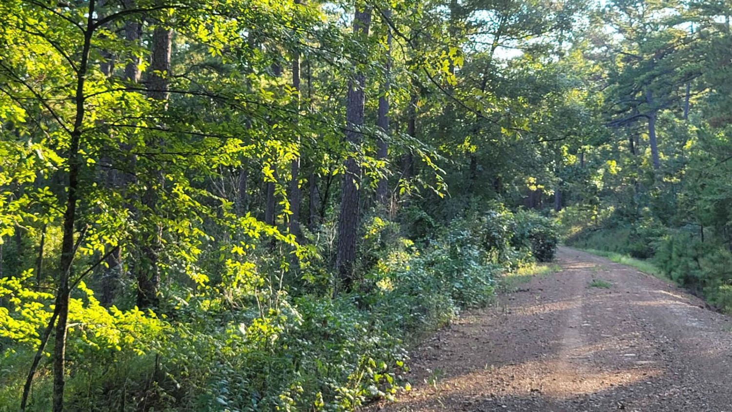
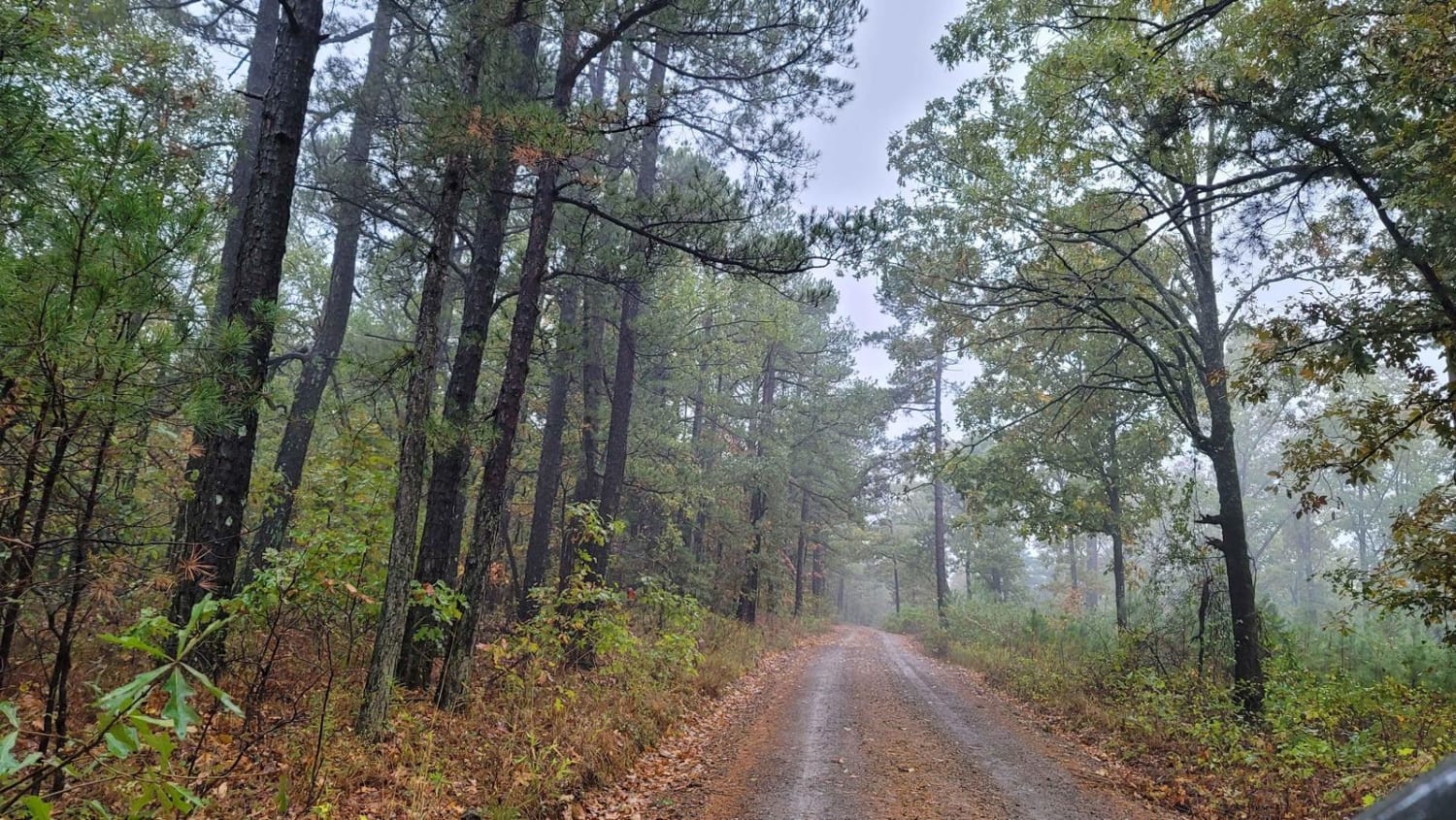
This track continues from the west side of the Ouachita National Forest off Highway 71. It will take you east further into the forest. This section of forest is not traveled as much as some of the more popular sections. Undergrowth is heavy in places and vehicle scratches are possible. This gravel road is two vehicle widths wide and crosses a few bridges. This track runs beside Hazel Creek. There are a couple of dispersed campsites in the area. The dispersed campsites have growth in them. This track ends on a hilltop with possible camping. You can encounter mud, loose gravel, and washouts along the trail.
Photos of Cumberland Road
Difficulty
Not technical, average gravel road. Some mud possible. Water crossings possible when raining.
Status Reports
Popular Trails

Power Wagon
Polk Road 619 West Gap 277
Howard County WMA 485RD Circle
Walnut Grove
The onX Offroad Difference
onX Offroad combines trail photos, descriptions, difficulty ratings, width restrictions, seasonality, and more in a user-friendly interface. Available on all devices, with offline access and full compatibility with CarPlay and Android Auto. Discover what you’re missing today!
