Middle Fork Illinois Bayou
Total Miles
3.9
Elevation
542.60 ft
Duration
--
Technical Rating
Best Time
Fall, Winter
Trail Overview
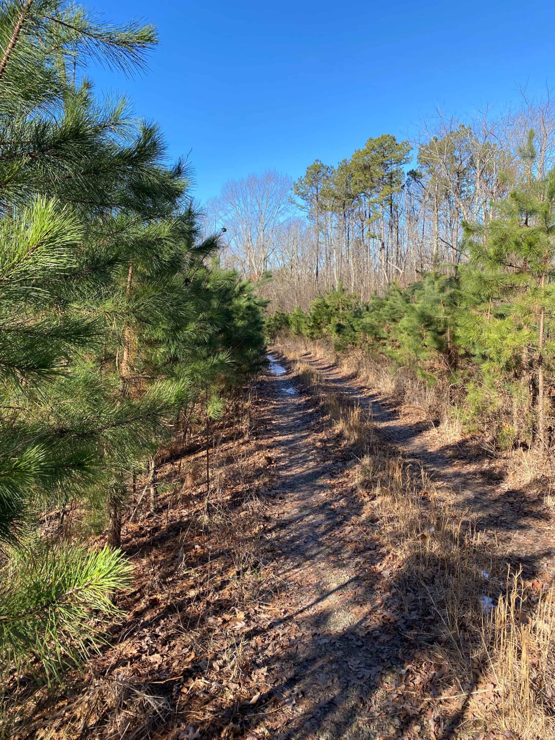
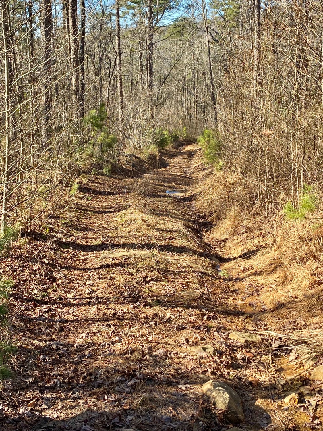
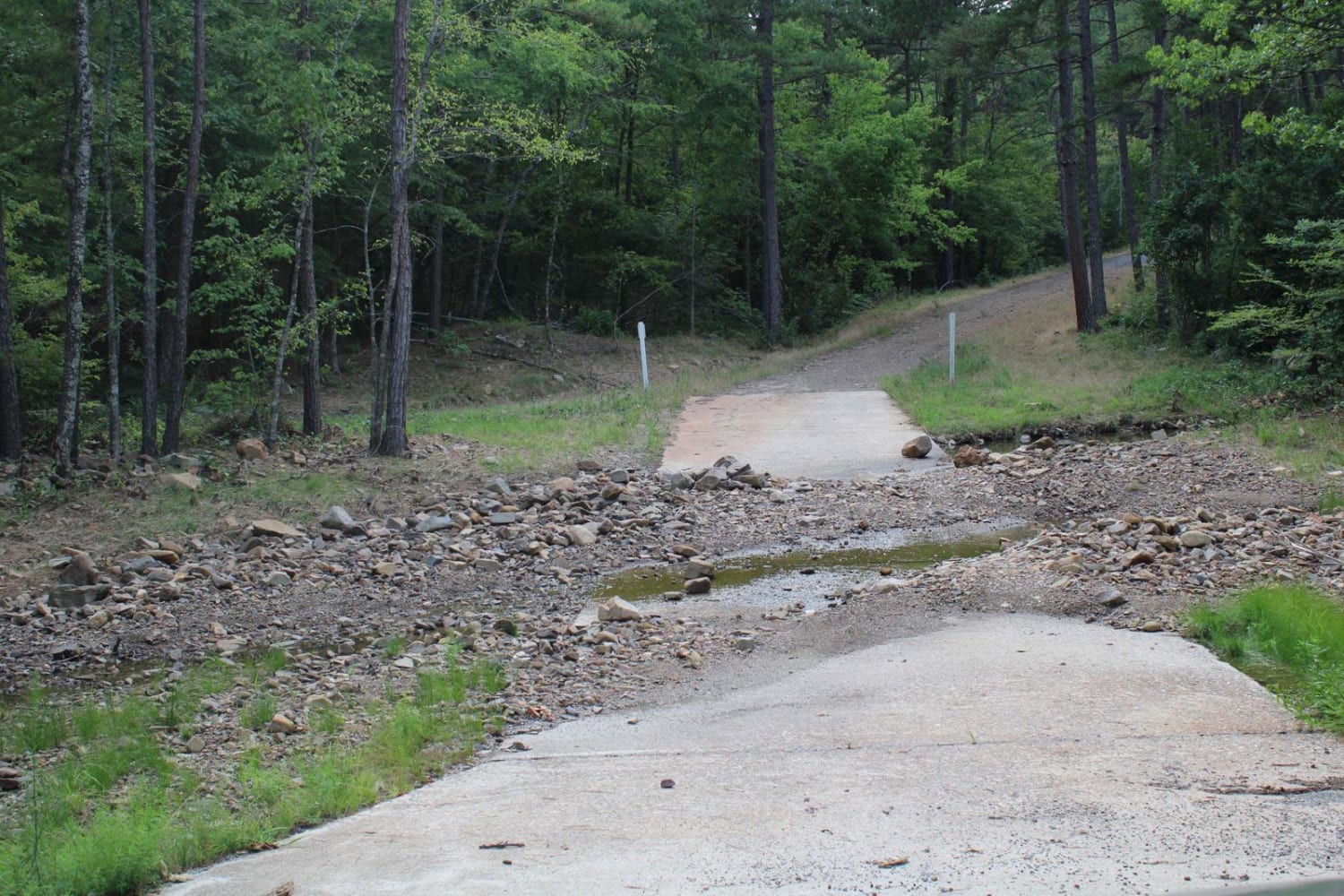
This route starts as an easy downhill descent into the middle fork of the Illinois Bayou. The trail is very tight on both sides through its entirety, and pinstriping is a guarantee. The trail is easy to moderate downhill into the bayou traveling from east to west. There are tight bypasses around large downed trees that might be difficult for larger rigs. Once down into the bayou, the road follows the creek, and then one water crossing takes you to the other side. This road continuing along the creek going north is washed away and impassable. The ascent out of the bayou is very steep, and the road width is quite narrow.
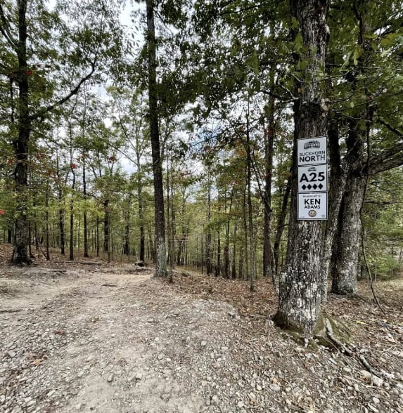
Photos of Middle Fork Illinois Bayou
Difficulty
Narrow width, water crossings up to 18", tight bypasses around downed trees.
Status Reports
Popular Trails

Bois D'Ark WMA from HWY 67
Muse Creek and Irons Fork
West Boundary
A25 Buckhorn North
The onX Offroad Difference
onX Offroad combines trail photos, descriptions, difficulty ratings, width restrictions, seasonality, and more in a user-friendly interface. Available on all devices, with offline access and full compatibility with CarPlay and Android Auto. Discover what you’re missing today!