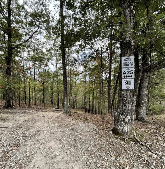
A25 Buckhorn North
Total Miles
1.9
Technical Rating
Best Time
Spring, Summer, Fall, Winter
Trail Type
Full-Width Road
Accessible By
Trail Overview
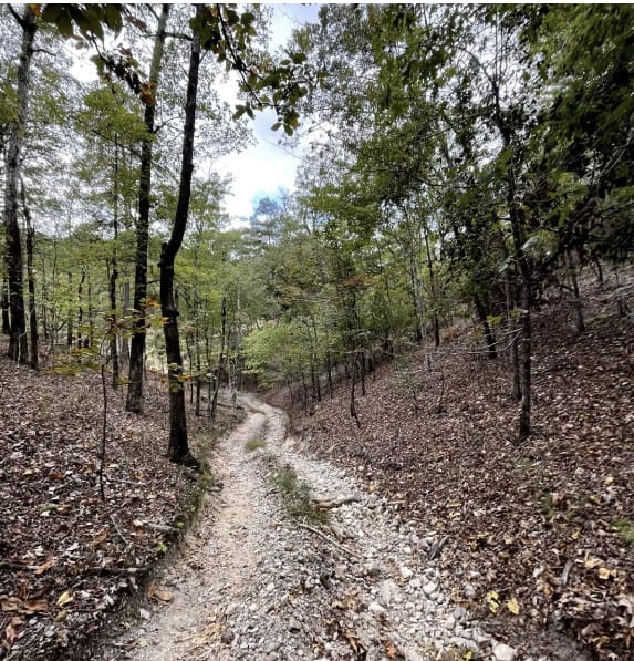
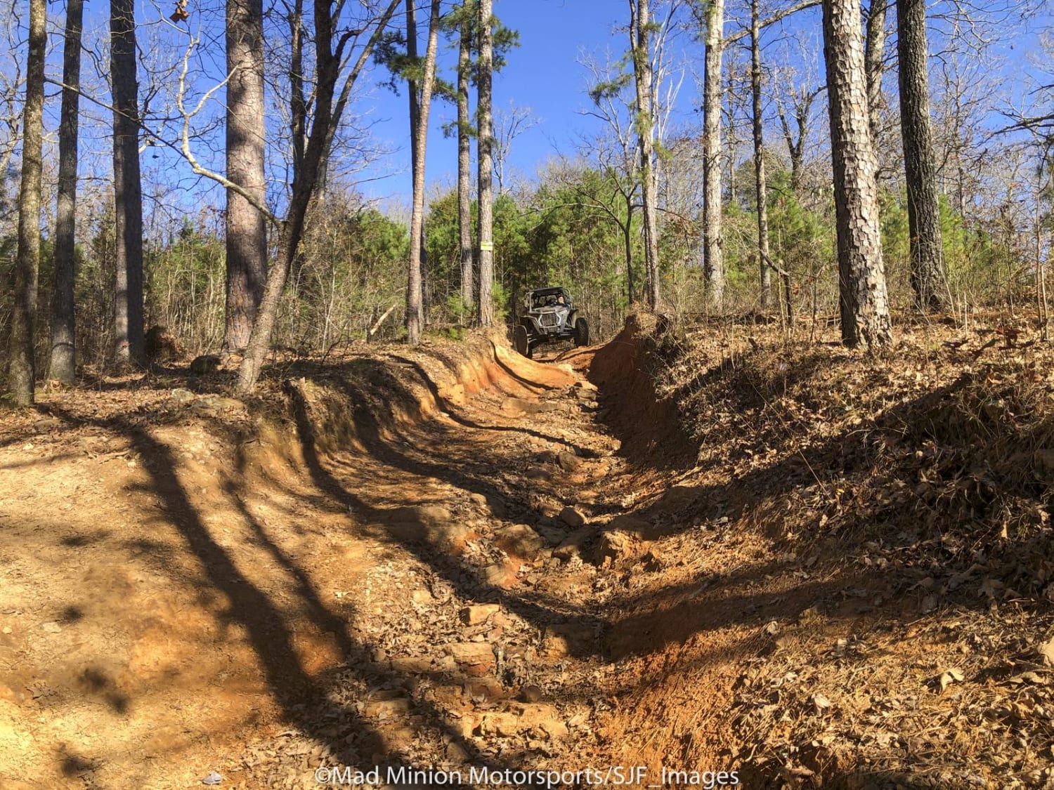
Buckhorn North is rated as a 4 on the park map. The trail has a great deal of ups and downs and twisty turns through the woods. There are some steep climbs with rocks and ledges. Given these obstacles, this trail is for experienced off-roaders only. It would be best to have 33-inch or taller tires and both locking differentials.
Photos of A25 Buckhorn North
Difficulty
This trail has steep hill climbs and descents, with rock ledges and ruts.
Status Reports
Popular Trails
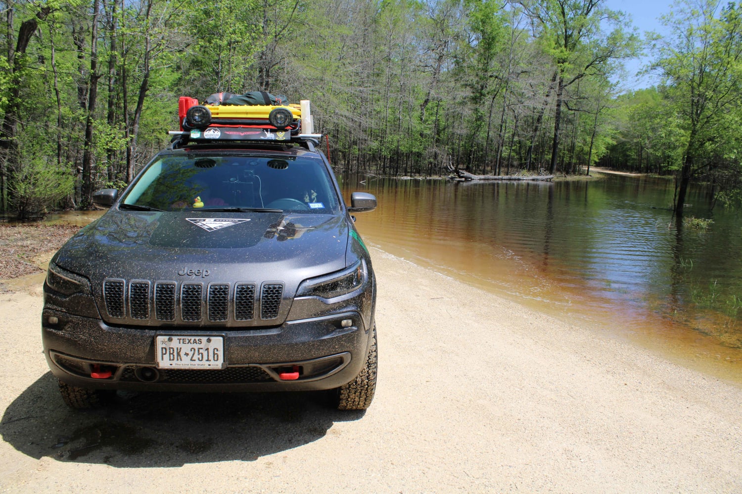
The Arkansas Overland Route - TrailHawk Loop - Section 17
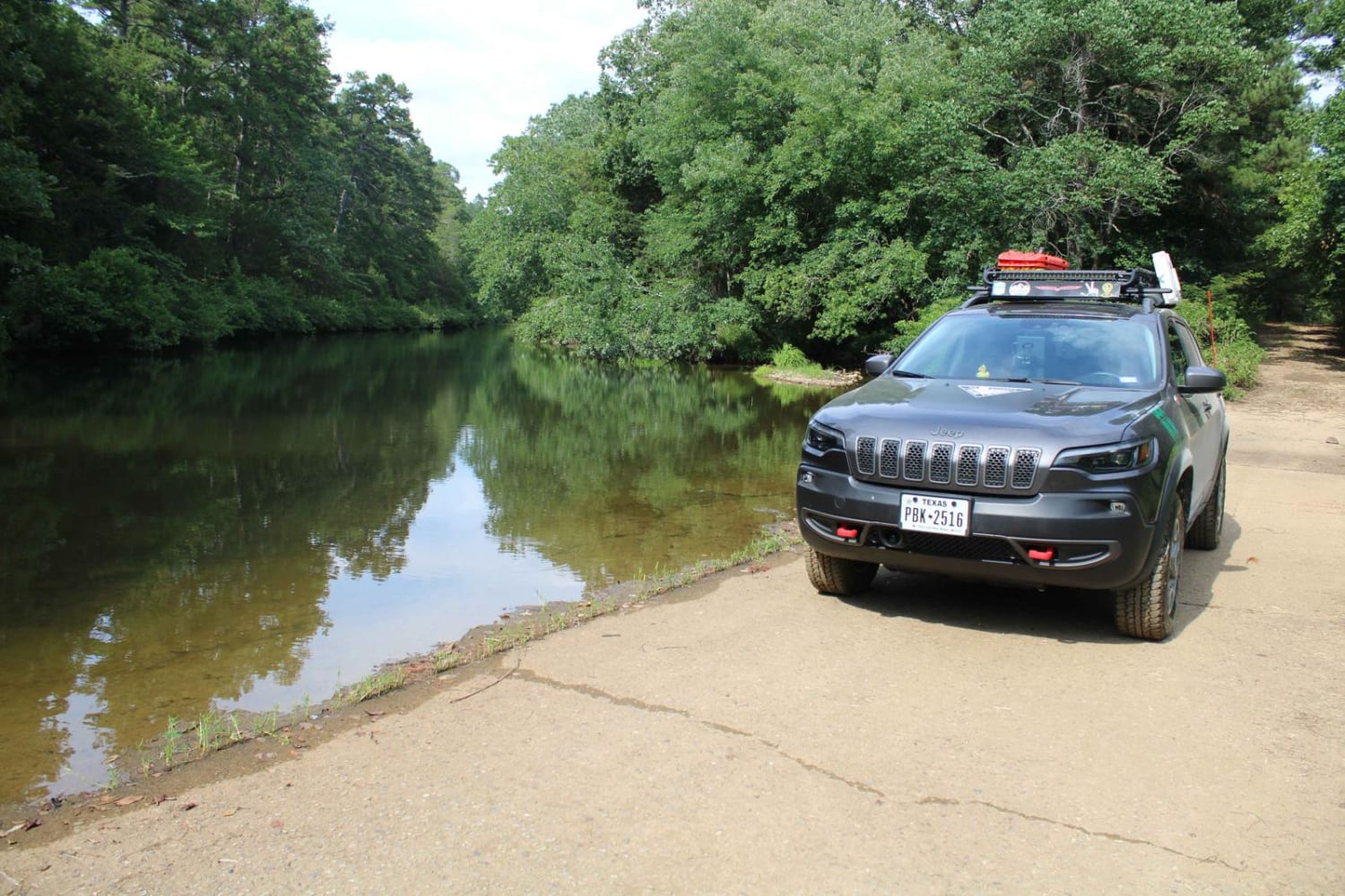
North Fork to Gladstone
Collier Springs
Mountain Creek Trail
The onX Offroad Difference
onX Offroad combines trail photos, descriptions, difficulty ratings, width restrictions, seasonality, and more in a user-friendly interface. Available on all devices, with offline access and full compatibility with CarPlay and Android Auto. Discover what you’re missing today!
