Lower Cabin Creek
Total Miles
7.9
Elevation
2,346.46 ft
Duration
1 Hours
Technical Rating
Best Time
Spring, Summer, Fall
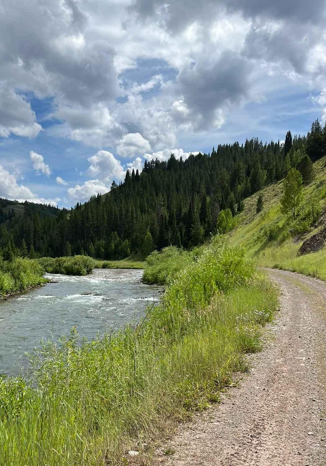
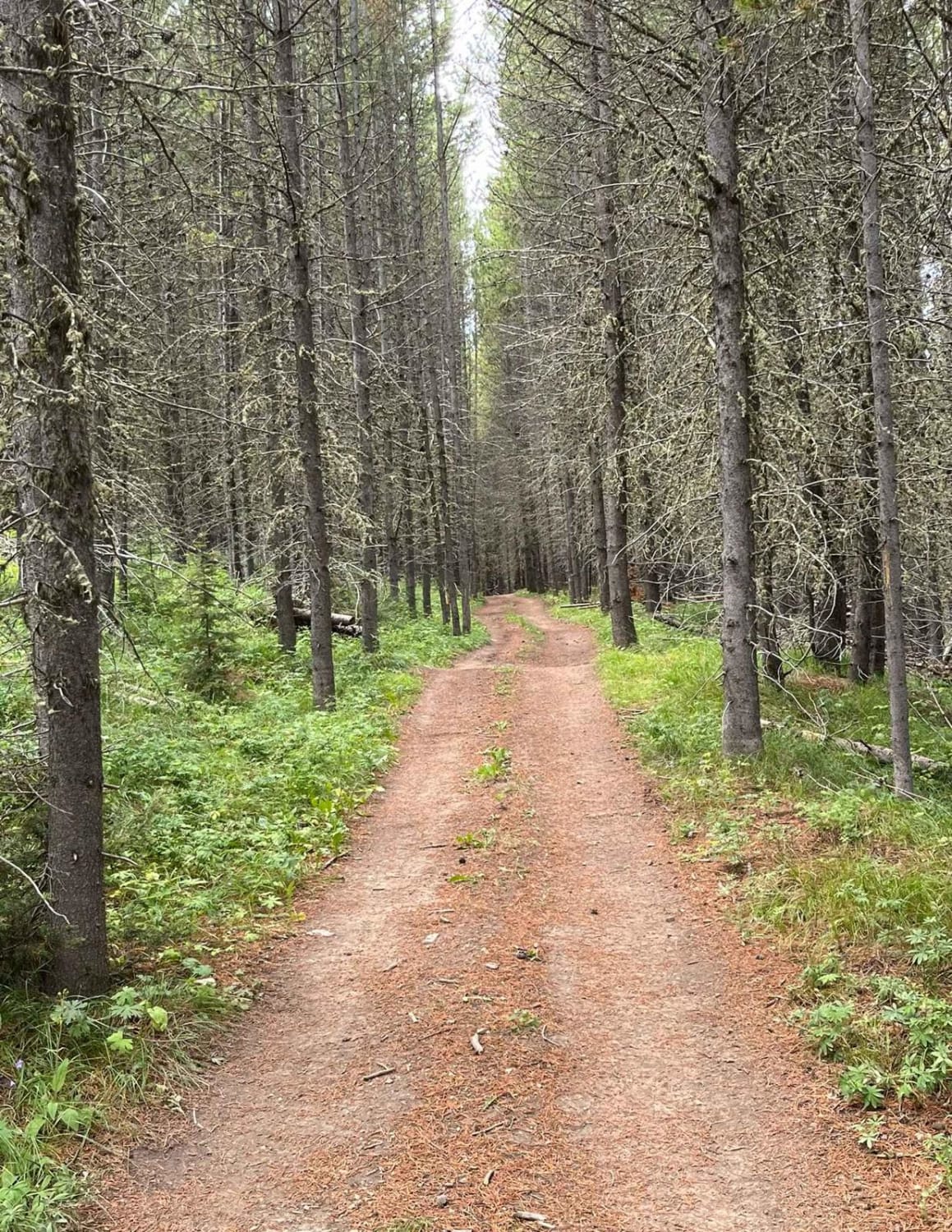
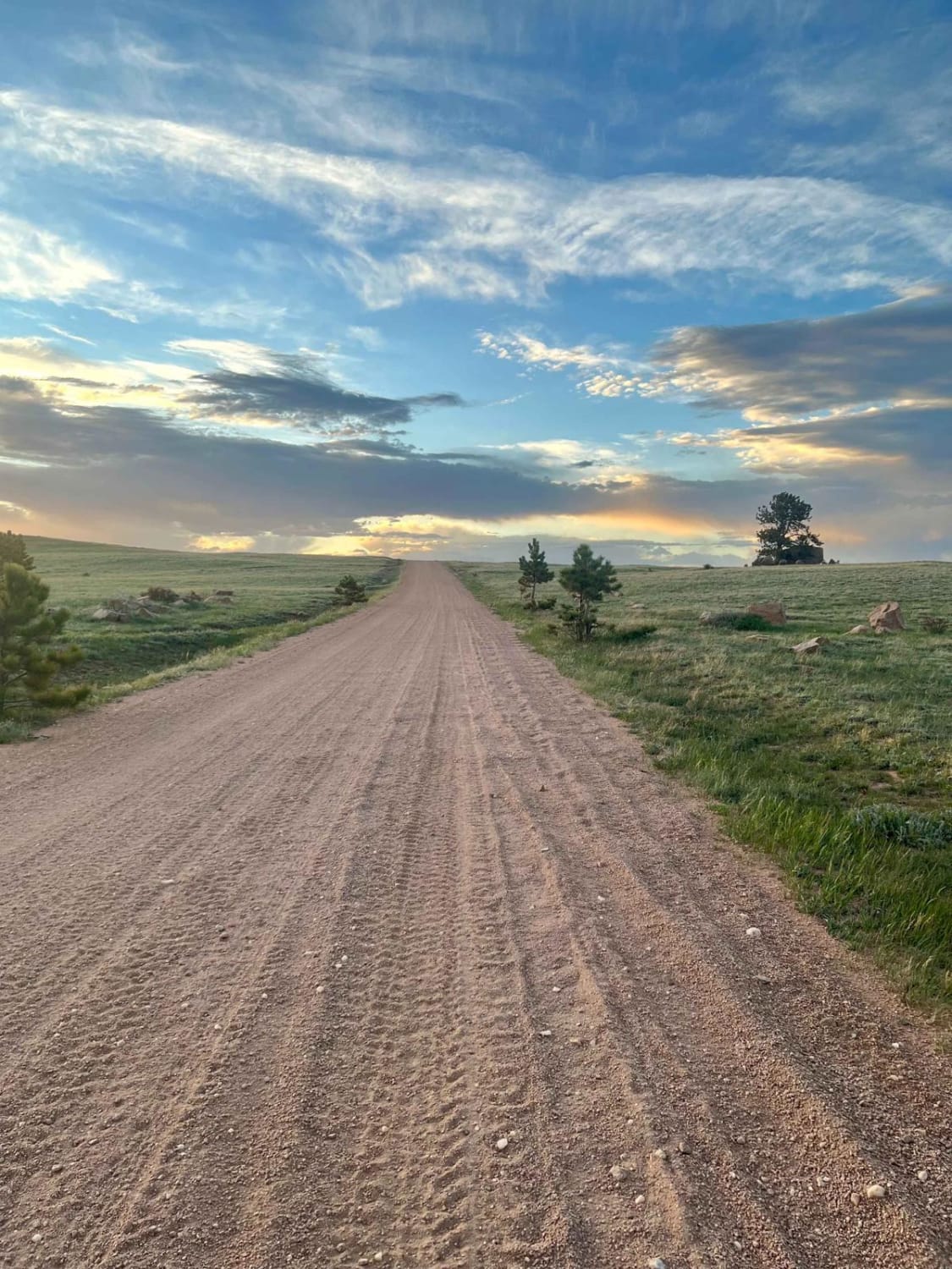
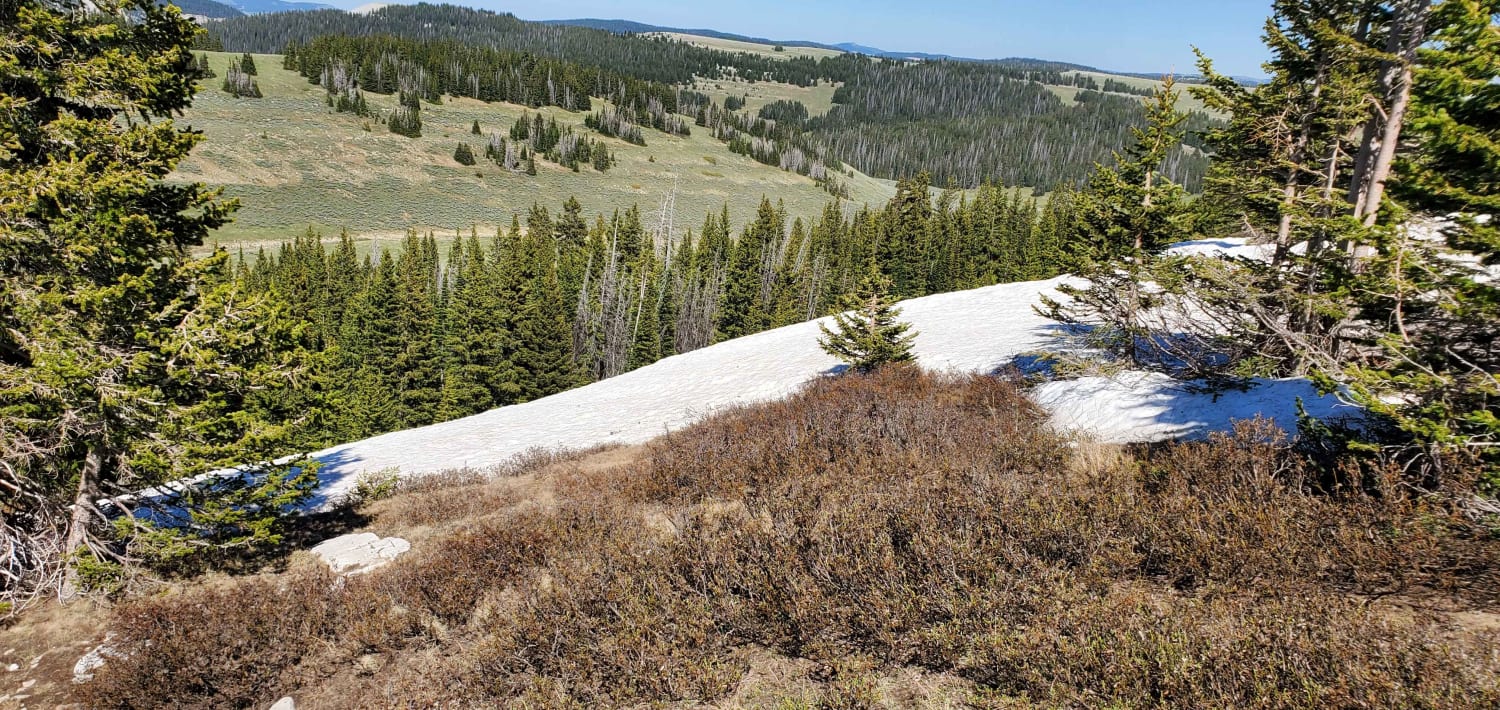
Trail Overview
This is a beautiful trail that traces along the elevation of Meadow and Cabin Creeks. At times it ducks down into thick pine stands, then bursts out onto expanding vistas overlooking acres of majestic views. For the rider on the lookout for wildlife, there are plenty of opportunities to catch a glimpse of deer, elk, beaver, and birds.
Photos of Lower Cabin Creek
Difficulty
The trail is well maintained. However, there can still be some large rocks, thick mud, and deep water depending on the time of year and how recent the last storm was.
Status Reports
Popular Trails
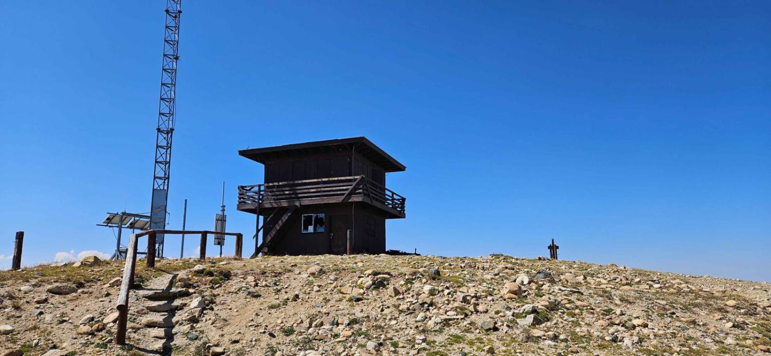

Grouse Creek Overlook Spur
The onX Offroad Difference
onX Offroad combines trail photos, descriptions, difficulty ratings, width restrictions, seasonality, and more in a user-friendly interface. Available on all devices, with offline access and full compatibility with CarPlay and Android Auto. Discover what you’re missing today!