Ponderosa Loop
Total Miles
4.5
Technical Rating
Best Time
Fall, Summer
Trail Type
High-Clearance 4x4 Trail
Accessible By
Trail Overview
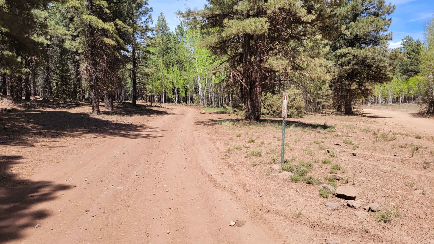
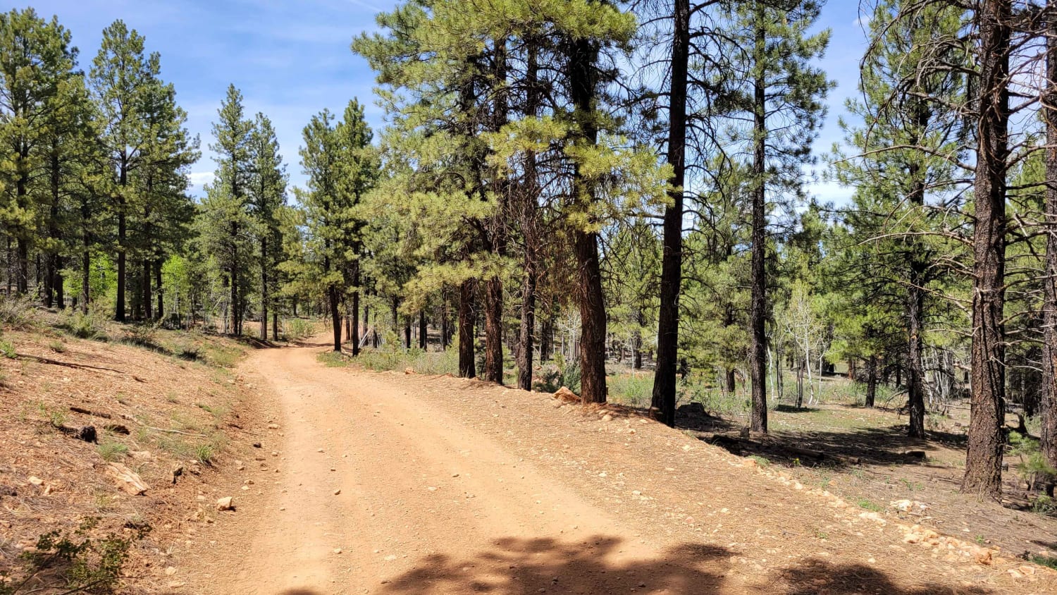
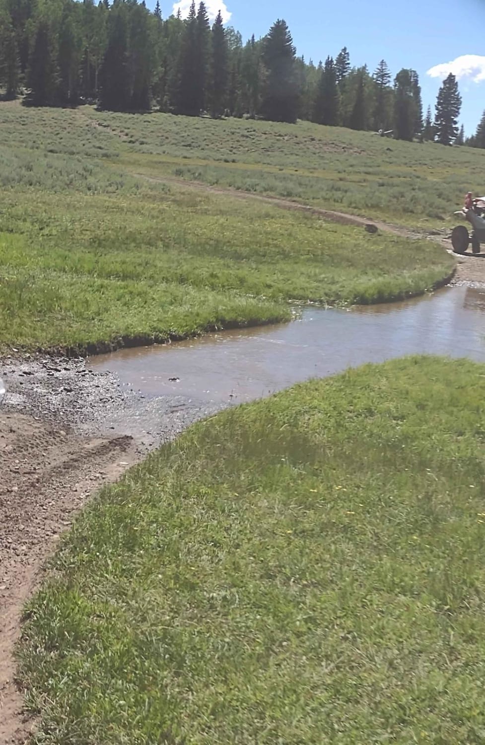
The Ponderosa Loop is a fairly easy and fun loop that weaves and winds its way through the Dixie National Forest. There are a couple of large rocky sections throughout the trail, as well as possible erosion sections (ruts) to look out for. According to the Markagunt OHV System map, this section is open to vehicles, with primitive camping sites noted at the Southern end. Trail #44 of the Markagunt OHV System.
Photos of Ponderosa Loop
Difficulty
There are a couple of large rocky sections throughout the trail, as well as possible erosion sections (ruts) to look out for.
Status Reports
Popular Trails

274 Shumway Mines Road
Leeds-Cottonwood Rock Crawling Playground
Rock Fight
Water, Water Everywhere (FS 4817, 40081, 42421)
The onX Offroad Difference
onX Offroad combines trail photos, descriptions, difficulty ratings, width restrictions, seasonality, and more in a user-friendly interface. Available on all devices, with offline access and full compatibility with CarPlay and Android Auto. Discover what you’re missing today!
