Parachute Landing
Total Miles
4.7
Technical Rating
Best Time
Spring, Fall, Winter
Trail Type
Full-Width Road
Accessible By
Trail Overview
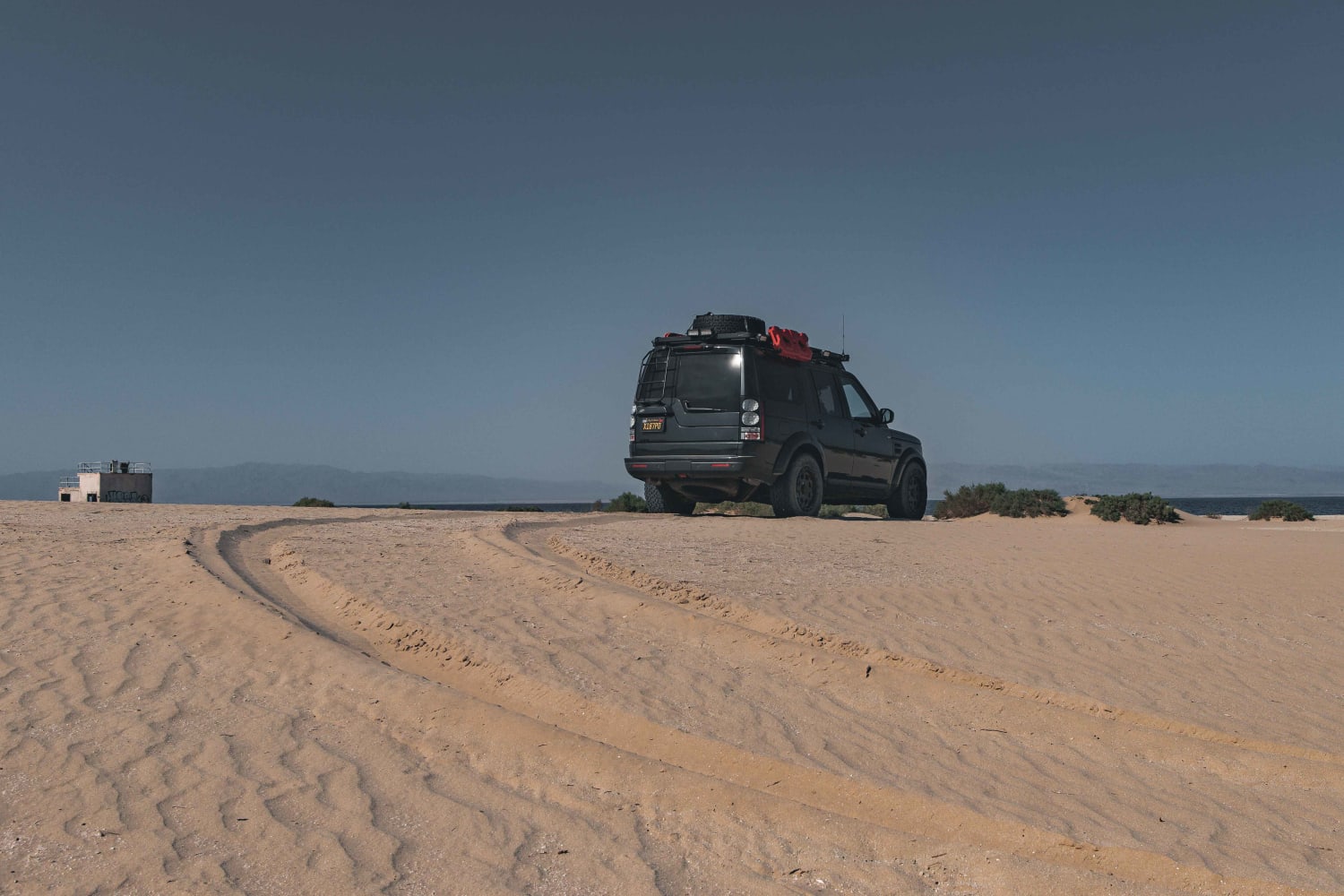
Parachute Landing is an unmaintained paved road and beach trail leading to a decommissioned Naval Auxiliary Air Station. A non-technical but eroding road with sand drifts turns into a dirt path, eventually terminating at the beach containing ruins of a small decommissioned World War II Era US Navy base--all on the shores of the Salton Sea sitting 220 feet below sea level. The beach trail is not clearly defined and traverses several different surfaces, including hard-packed dirt, loose sand drifts from adjacent dunes, and fishbone. Depending on recent weather and winds, tire tracks from other vehicles may be visible. The trail will run along a few key points of interest, including two remaining concrete structures, concrete slabs, and a pier that the sea no longer reaches. The beach can be explored freely but extreme caution should be exercised when heading off the main trail. A dry, hard-packed surface can give way to a salty "quick mud" which will most likely require a second vehicle to aid in recovery. This is especially important closer to the sea's edge and during the wet season. Airing down is not necessary, but recovery gear and air-down preparedness are highly recommended. The trail crosses large loose sand drifts blown from the adjacent dunes. The Salton Sea Test Base (SSTB) was used for seaplane and bombing range operations, rocket development work, and testing of jet engine propellant mixtures. Most recently, The SSTB was used for tests of the Mercury space capsule's parachute landing system and was used as a joint Parachute Test Facility by the Navy and the Air Force. Operations ceased at the SSTB in 1979. The mile-long airstrip to the south of the base is no longer visible. Cell coverage is strong due to the small, largely abandoned town of Salton City six miles to the north. This land is largely operated by BLM and accessible to the public but is a critical habitat for birds. The Salton Sea is one of the most important places for birds in North America. For the past century, the sea has served as a major nesting, wintering, and stopover site for millions of birds of approximately 400 species.
Photos of Parachute Landing
Difficulty
While the trail itself is easy, it is unpredictable. Changes in weather or winds can quickly create soft and loose sand drifts and rain can lead to unforgiving mud on the beach. During the summer, the heat makes this an extreme environment with temperatures reaching over 110 degrees, which is then magnified by reflections off the white fish bone beach. The ability to recover and do so in an efficient manner is important.
History
The trail leads to a decommissioned World War II Era US Navy base, which at one time had over 600 full-time sailors and airmen living in barracks. The US Navy closed much of it in 1946, but it was used until 1979 as a test facility. It was the filming location of the 1942 Paramount Studios picture "Wake Island". In 1944, the 509th Composite Squadron based out of Utah conducted training missions, dropping 150 prototype atomic bomb shapes from B-29s into the sea near the base. It's reported that 25 aircraft crashed in and around the sea and some may remain on the floor of the sea; one was discovered as recently as 1999 during the search for a civilian small aircraft. The sea's depth, darkness, and toxicity have resulted in the planes (and in some cases, the crews) being left to the watery grave more than 50 feet below the surface.
Status Reports
Parachute Landing can be accessed by the following ride types:
- High-Clearance 4x4
- SUV
Parachute Landing Map
Popular Trails
Fun Boundary Rip
Echo Canyon Road
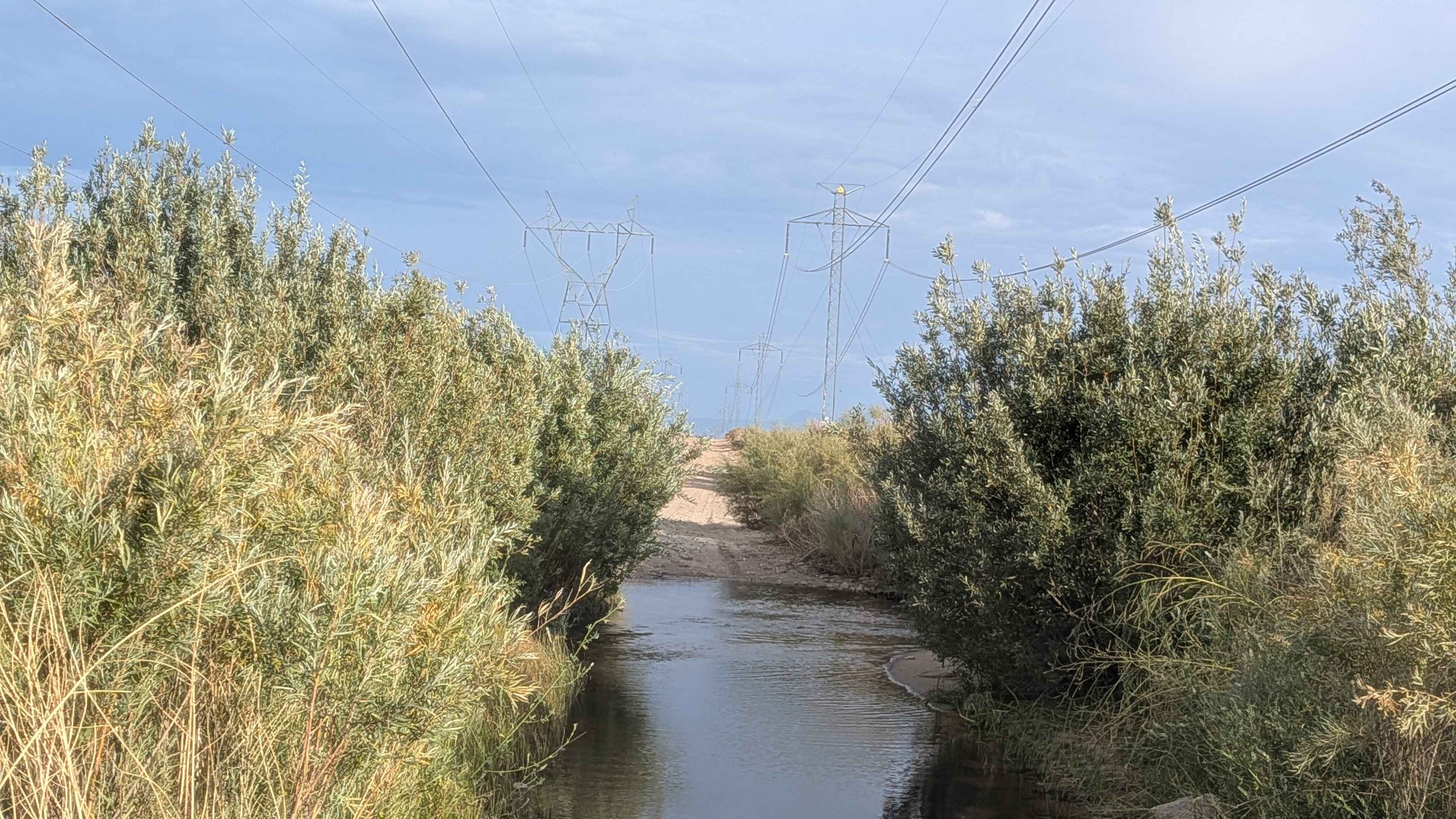
Power Line Road NW
The onX Offroad Difference
onX Offroad combines trail photos, descriptions, difficulty ratings, width restrictions, seasonality, and more in a user-friendly interface. Available on all devices, with offline access and full compatibility with CarPlay and Android Auto. Discover what you’re missing today!
