Rainbow Mountain Road
Total Miles
4.0
Elevation
1,308.78 ft
Duration
--
Technical Rating
Best Time
Winter, Fall, Spring
Trail Overview
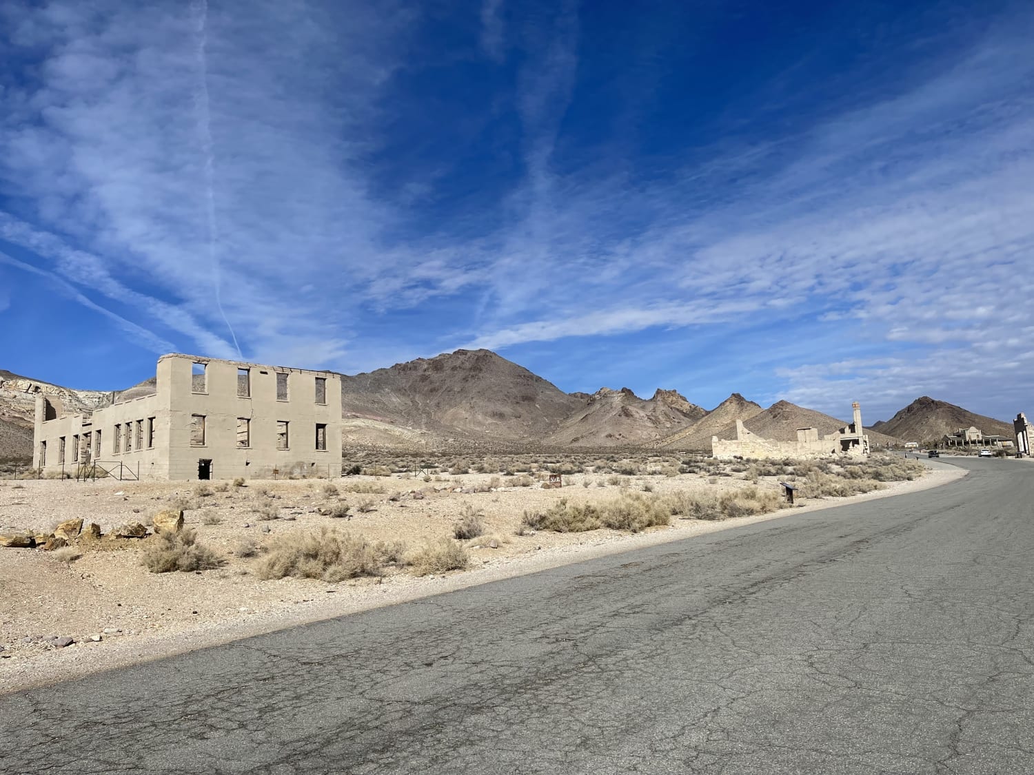
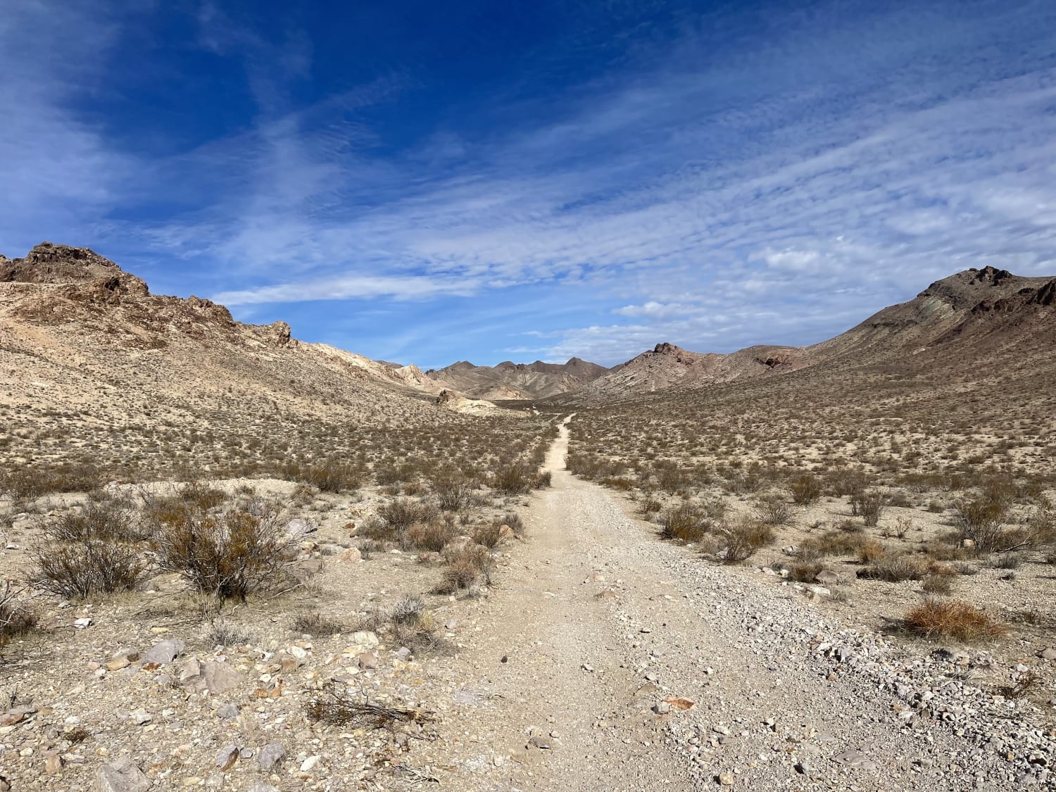
A mostly east trail that begins or ends at the Rhyolite ghost town on the western end of the trail. The ghost town is somewhat preserved with many structures still standing and lots to explore, including many informational Kiosks to spend your time learning about the town. There are also pit toilets in case nature calls. The rest of the trail passes through the hills and is mostly easy, with a few steep transitions and rocky sections. Not to mention some washouts. The Eastern end of the trail is has a natural spring that fills a watering trough that spills across the trail and makes it a bit muddy. There is one bar LTE in and out.
Photos of Rainbow Mountain Road
Difficulty
Mostly easy, some steep transitions at washes with rocky sandy bottoms. The rest of the trail is mostly dirt with a few sections of sharp rocks that may puncture sidewalls.
History
This ghost town's origins were brought about by Shorty Harris and E. L. Cross, who were prospecting in the area in 1904. They found quartz all over a hill, and as Shorty describes it "... the quartz was just full of free gold... it was the original bullfrog rock... this banner is a crackerjack"! He declared, "The district is going to be the banner camp of Nevada. I say so once and I'll say it again." At that time there was only one other person in the whole area: Old Man Beatty who lived in a ranch with his family five miles away. Soon the rush was on and several camps were set up including Bullfrog, the Amargosa and a settlement between them called Jumpertown. A townsite was laid out nearby and given the name Rhyolite from the silica-rich volcanic rock in the area.There were over 2000 claims covering everything in a 30-mile area from the Bullfrog district. The most promising was the Montgomery Shoshone mine, which prompted everyone to move to the Rhyolite townsite. The town immediately boomed with buildings springing up everywhere. One building was 3 stories tall and cost $90,000 to build. A stock exchange and Board of Trade were formed. The red light district drew women from as far away as San Francisco. There were hotels, stores, a school for 250 children, an ice plant, two electric plants, foundries and machine shops and even a miner's union hospital.The town citizens had an active social life including baseball games, dances, basket socials, whist parties, tennis, a symphony, Sunday school picnics, basketball games, Saturday night variety shows at the opera house, and pool tournaments. In 1906 Countess Morajeski opened the Alaska Glacier Ice Cream Parlor to the delight of the local citizenry. That same year an enterprising miner, Tom T. Kelly, built a Bottle House out of 50,000 beer and liquor bottles.In April 1907 electricity came to Rhyolite, and by August of that year a mill had been constructed to handle 300 tons of ore a day at the Montgomery Shoshone mine. It consisted of a crusher, 3 giant rollers, over a dozen cyanide tanks and a reduction furnace. The Montgomery Shoshone mine had become nationally known because Bob Montgomery once boasted he could take $10,000 a day in ore from the mine. It was later owned by Charles Schwab, who purchased it in 1906 for a reported 2 to 6 million dollars.The financial panic of 1907 took its toll on Rhyolite and was seen as the beginning of the end for the town. In the next few years mines started closing and banks failed. Newspapers went out of business, and by 1910 the production at the mill had slowed to $246,661 and there were only 611 residents in the town. On March 14, 1911 the directors voted to close down the Montgomery Shoshone mine and mill. In 1916 the light and power were finally turned off in the town.Today you can find several remnants of Rhyolite's glory days. Some of the walls of the 3 story bank building are still standing, as is part of the old jail. The train depot (privately owned) is one of the few complete buildings left in the town, as is the Bottle House. The Bottle House was restored by Paramount pictures in Jan, 1925.Rhyolite is 35 miles from the Furnace Creek Visitor Center on the way to Beatty, Nevada. A paved road heading north (left) from Hwy. 374 will take you to the heart of the the town. The ghost town of Rhyolite is on a mixture of federal and private land. It is not within the boundary of Death Valley National Park.
Status Reports
Popular Trails
Nelson Single Track
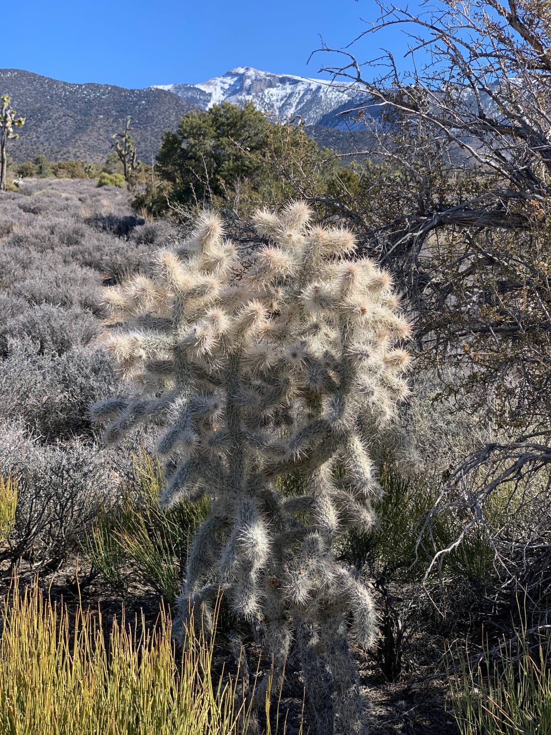
Wallace Canyon Road
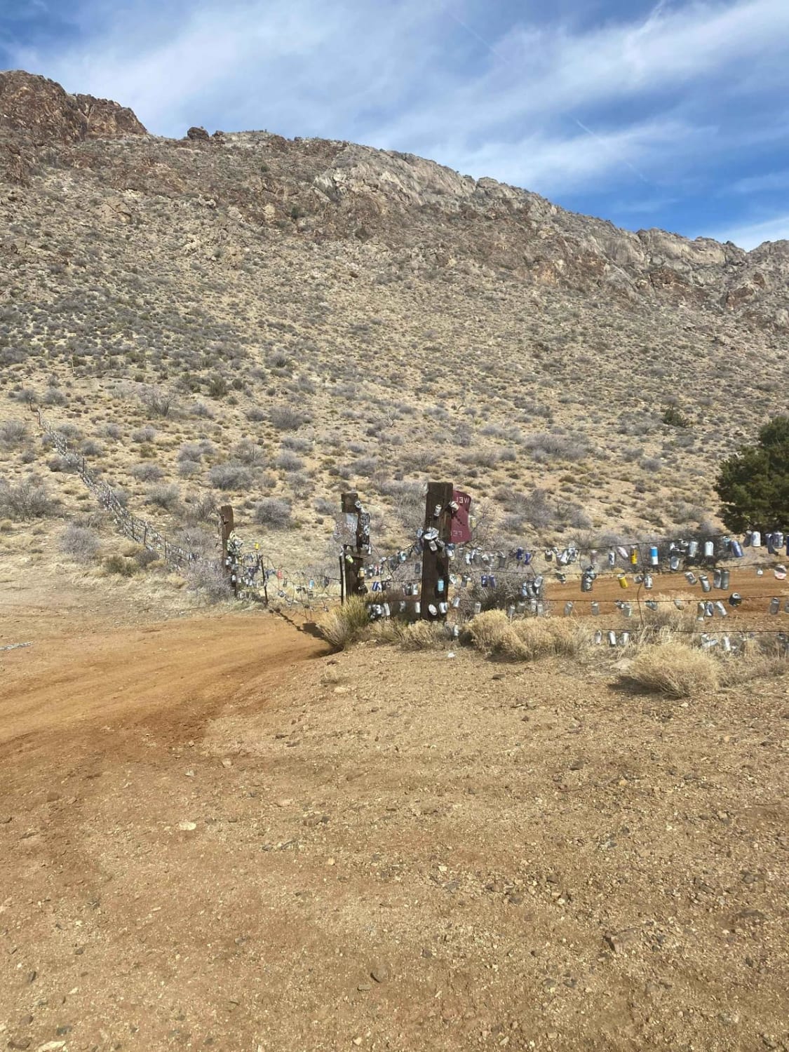
Beer Can Fence
The onX Offroad Difference
onX Offroad combines trail photos, descriptions, difficulty ratings, width restrictions, seasonality, and more in a user-friendly interface. Available on all devices, with offline access and full compatibility with CarPlay and Android Auto. Discover what you’re missing today!
