Capitol Forest D-1000
Total Miles
8.3
Elevation
595.43 ft
Duration
0.5 Hours
Technical Rating
Best Time
Spring, Summer, Fall, Winter
Trail Overview
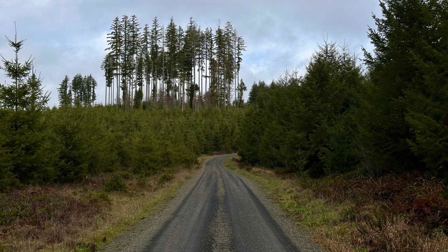
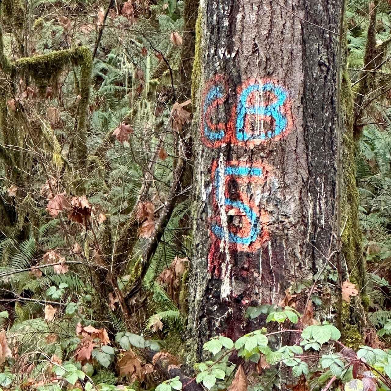
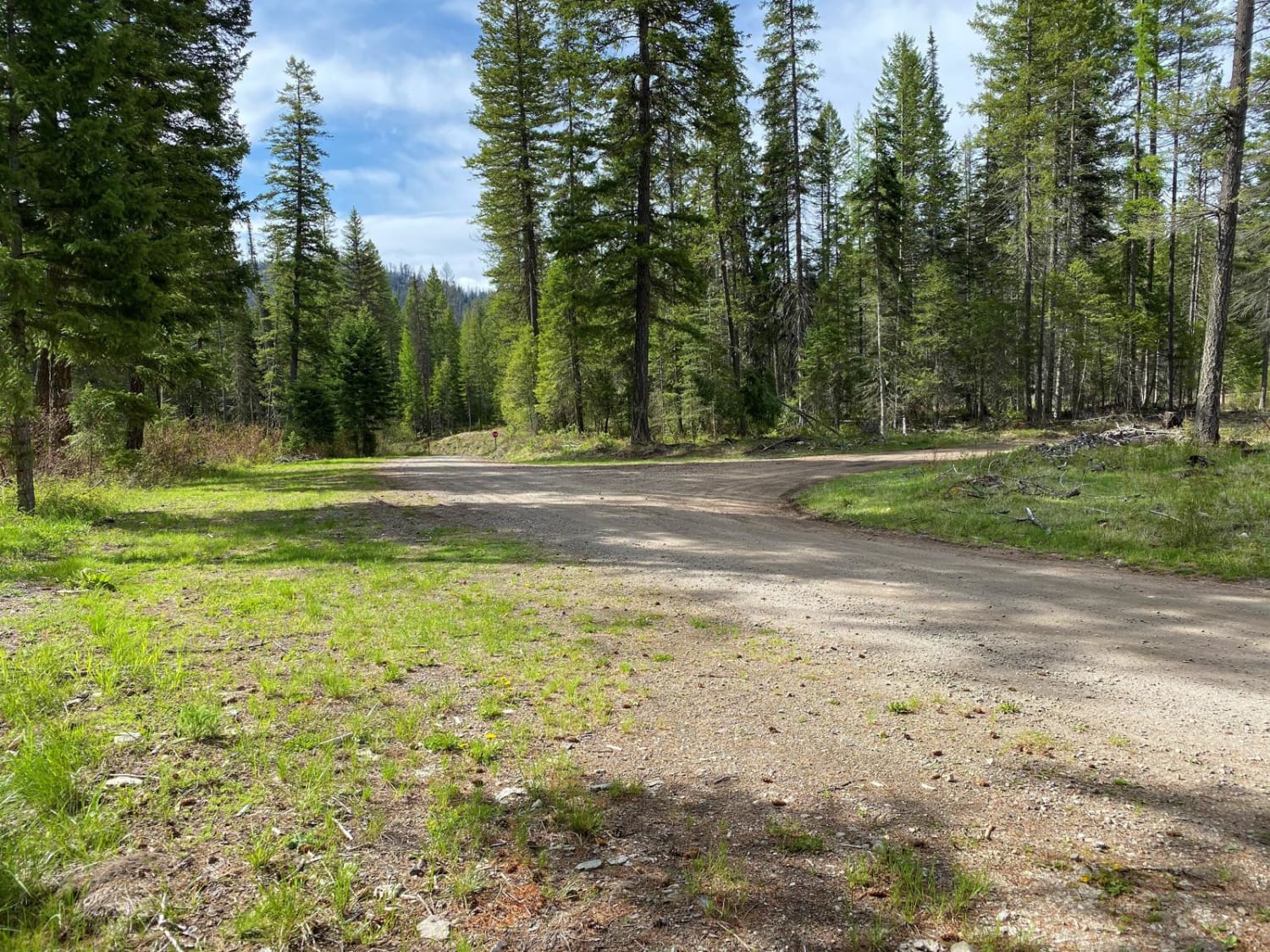
The D-1000 splits off the main paved D-line and takes you into the heart of Capitol Forest. Immediately as you turn onto the road, you'll start to gain elevation as you look down on the Cedar River. The trees are tagged with CB Channel 5, so be mindful of big rigs that may be on the trail (different roads have different CB Channels). The road itself is a nice hard-packed dirt road with very few potholes and no obstacles or washouts. The lane is wide enough for two vehicles to pass and has some larger pullouts along the way. There are a bunch of clearings where you can see the valleys below, some clearcuts as well as new-growth trees. This is an easy trail to drive up to get some views as well as get up into the spider web of trails and roads. The end of the D-1000 brings you to the Wedekind Picnic Area on the C-Line. From here, you can stretch your legs on a hiking trail, set off on a dirt bike track, or continue diving out via multiple routes.
Photos of Capitol Forest D-1000
Difficulty
This is one of the main lines that leads to the heart of Capitol Forest. There are very few potholes that are easily avoidable. The hard, compact dirt can be driven by most vehicles (weather dependent).
Popular Trails
Lake Cavanaugh Road
Rock n Roll Ravine

Bare Mountain Road
The onX Offroad Difference
onX Offroad combines trail photos, descriptions, difficulty ratings, width restrictions, seasonality, and more in a user-friendly interface. Available on all devices, with offline access and full compatibility with CarPlay and Android Auto. Discover what you’re missing today!
