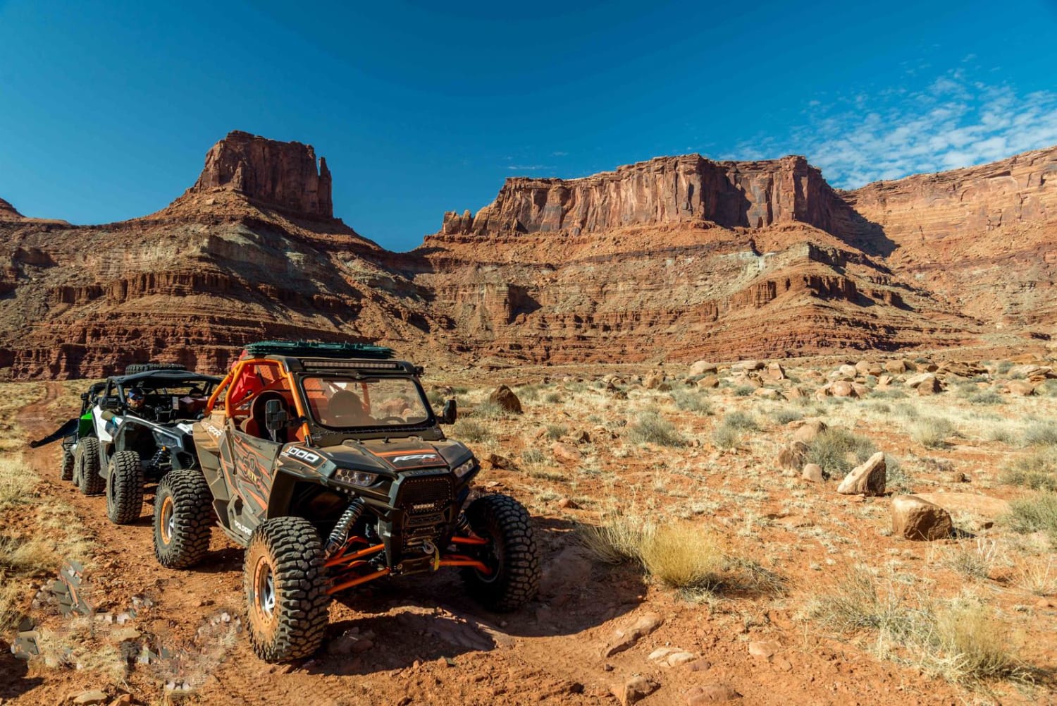
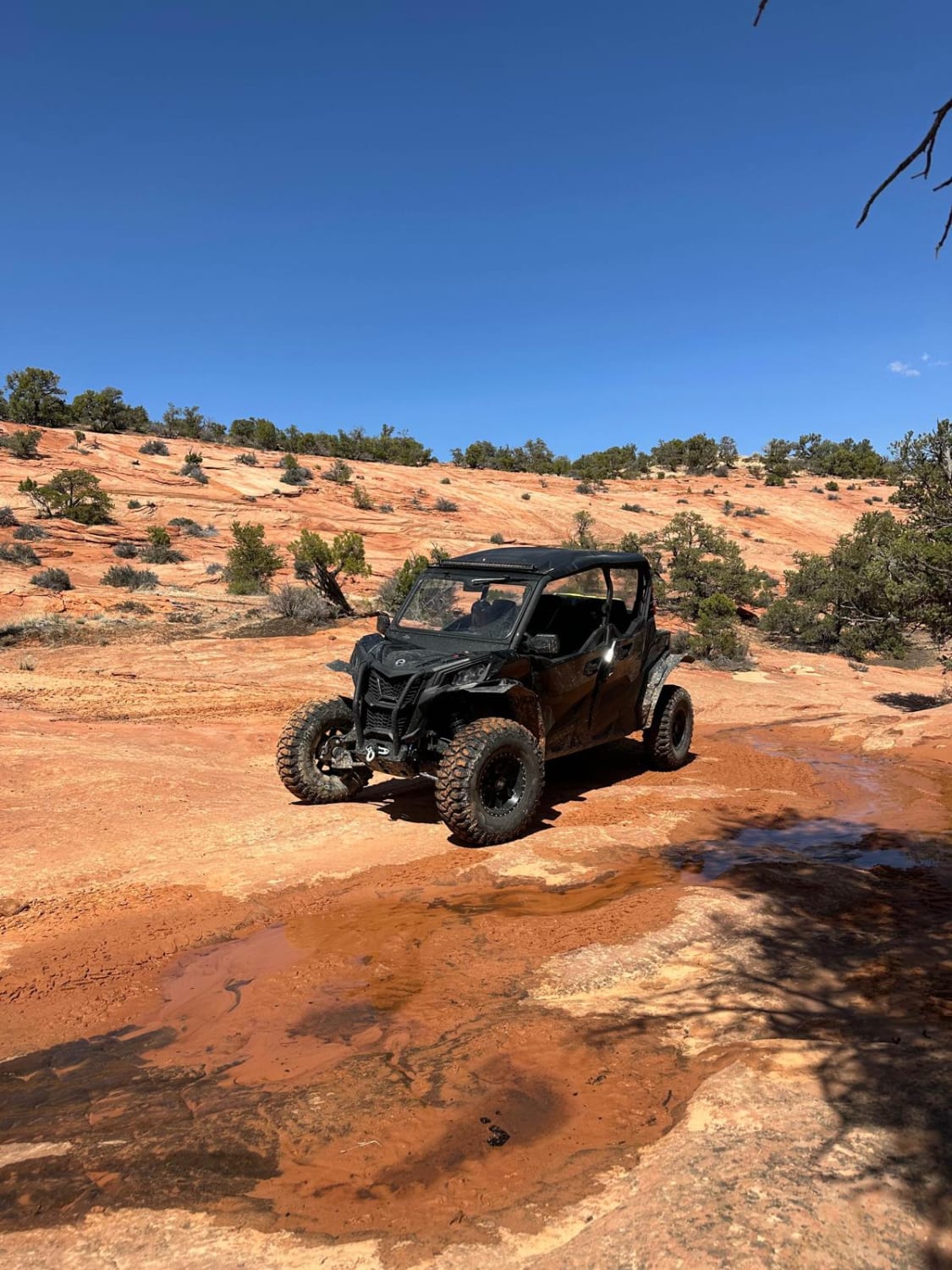
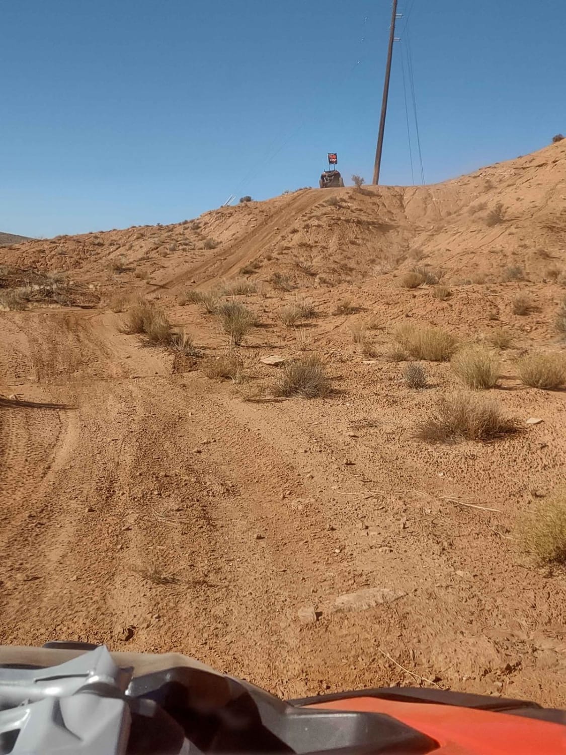
Lockhart Basin
Total Miles
37.7
Elevation
1,504.92 ft
Duration
6 Hours
Technical Rating
Best Time
Spring, Summer, Fall
Trail Overview
Lockhart Basin is way off the beaten path, incredibly rough and rocky, and borders Canyonlands National Park. It's not safe to take this one alone. Give yourself plenty of time if you expect to get through it in one day. Add Lockhart Canyon for a fun overnight trip, but remember extra water and fuel. Hamburger Rock Campground is available for a small fee. Avoid Canyonlands National Park if you're riding an ATV or UTV.
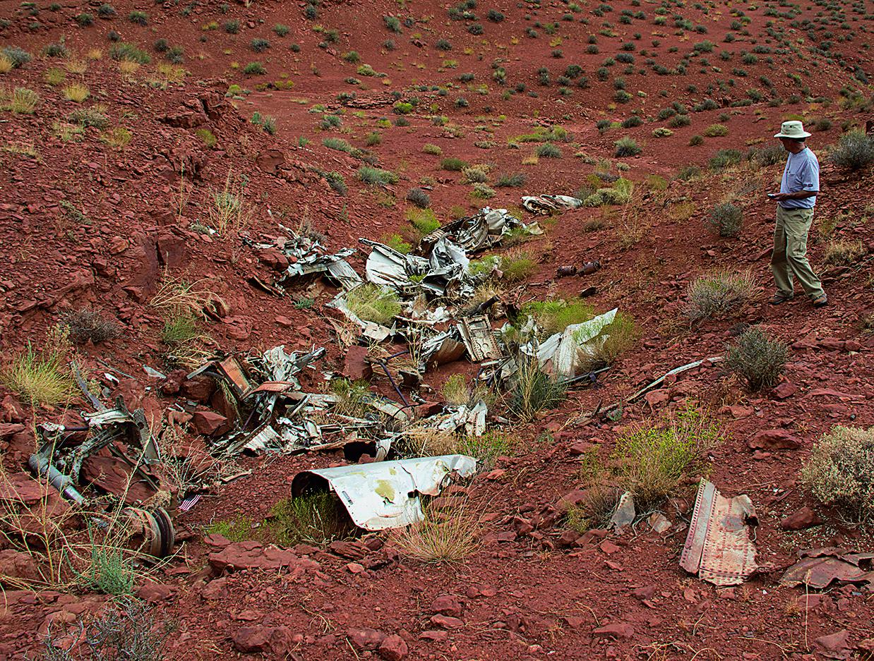
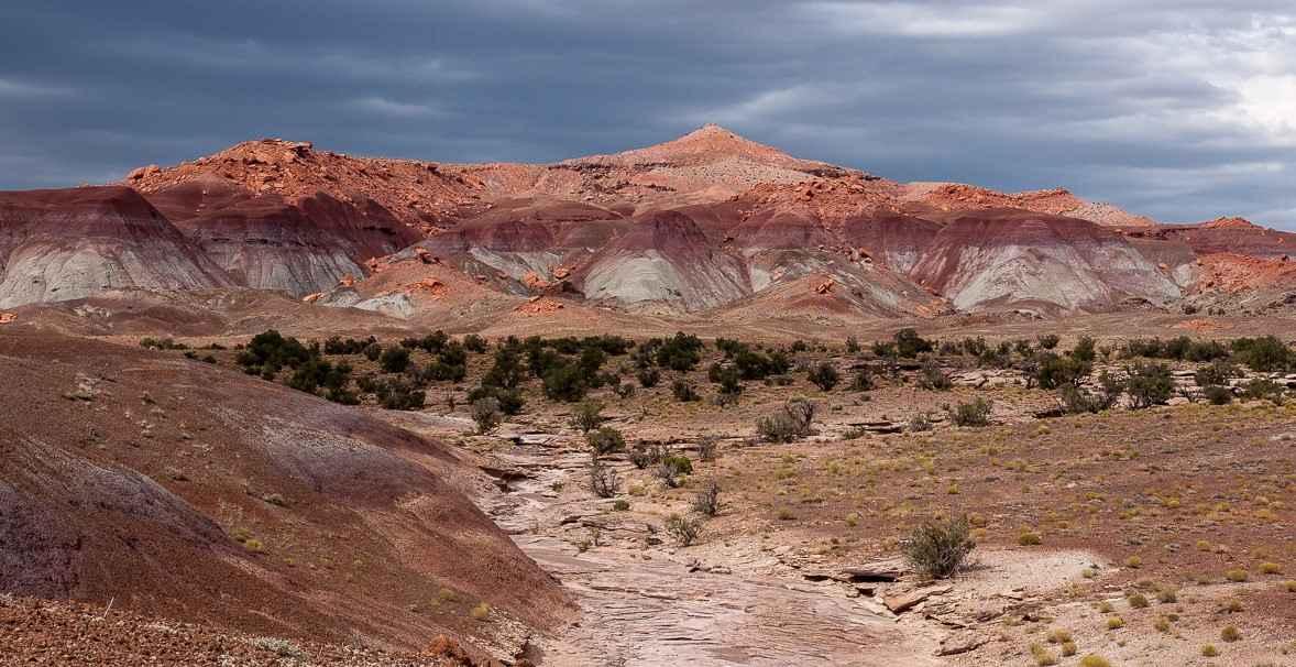
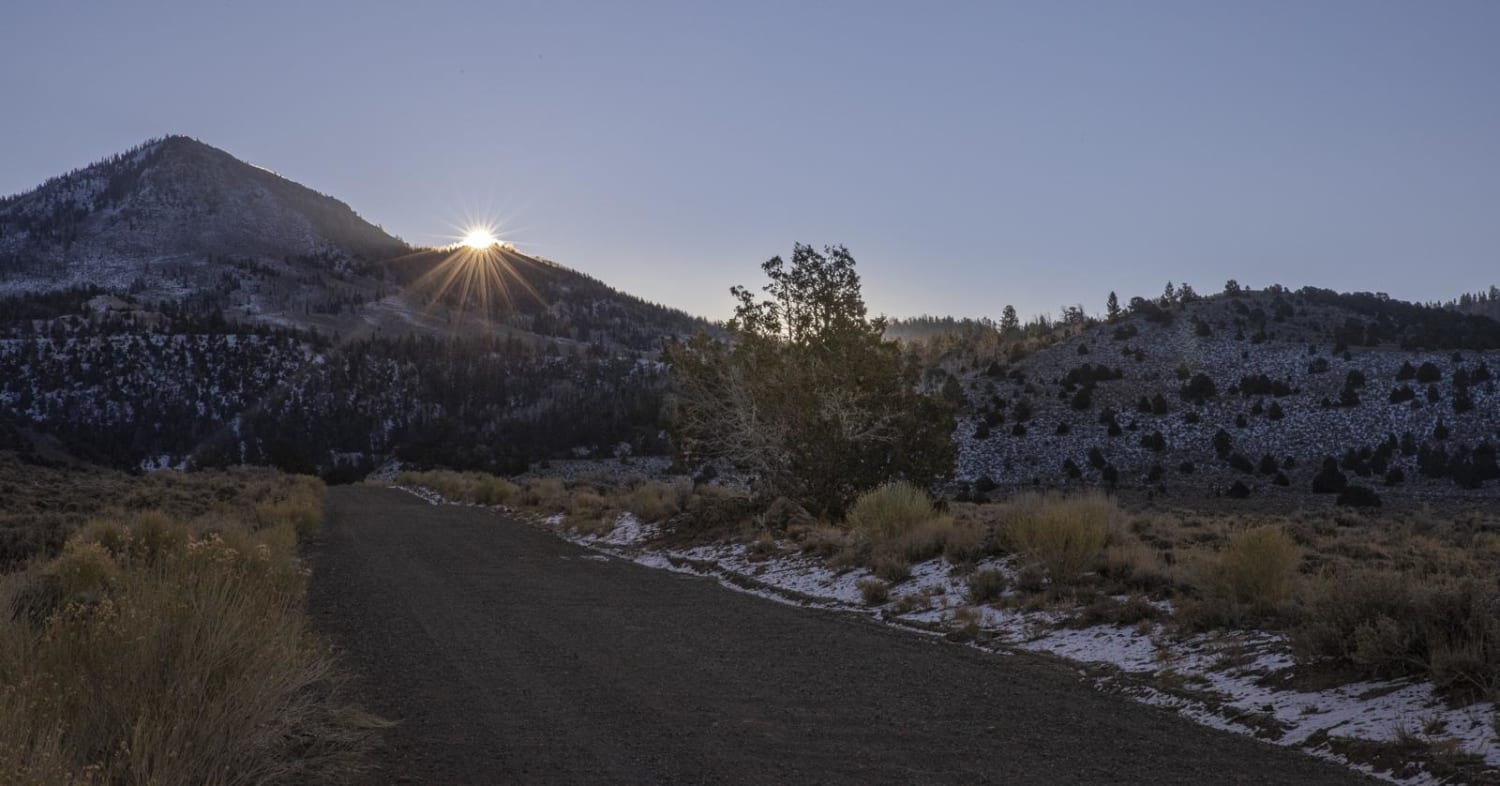
Photos of Lockhart Basin
Difficulty
Difficult. The first 2 miles is the toughest part. After that, it's mostly moderate with intermittent mildly difficult spots. Heavy rains can make it worse. After Waypoint 04, it's easier. Aggressive, stock, high-clearance 4x4 SUVs can do it with experienced driver.
Status Reports
Popular Trails
Purple Hills Road
Baker Ranch Road
Dinosour Tracks Extension Loop
Smith Mesa To Rattlesnake Gulch
The onX Offroad Difference
onX Offroad combines trail photos, descriptions, difficulty ratings, width restrictions, seasonality, and more in a user-friendly interface. Available on all devices, with offline access and full compatibility with CarPlay and Android Auto. Discover what you’re missing today!