Gold Hill
Total Miles
3.5
Technical Rating
Best Time
Summer, Fall, Spring
Trail Type
50" Trail
Accessible By
Trail Overview
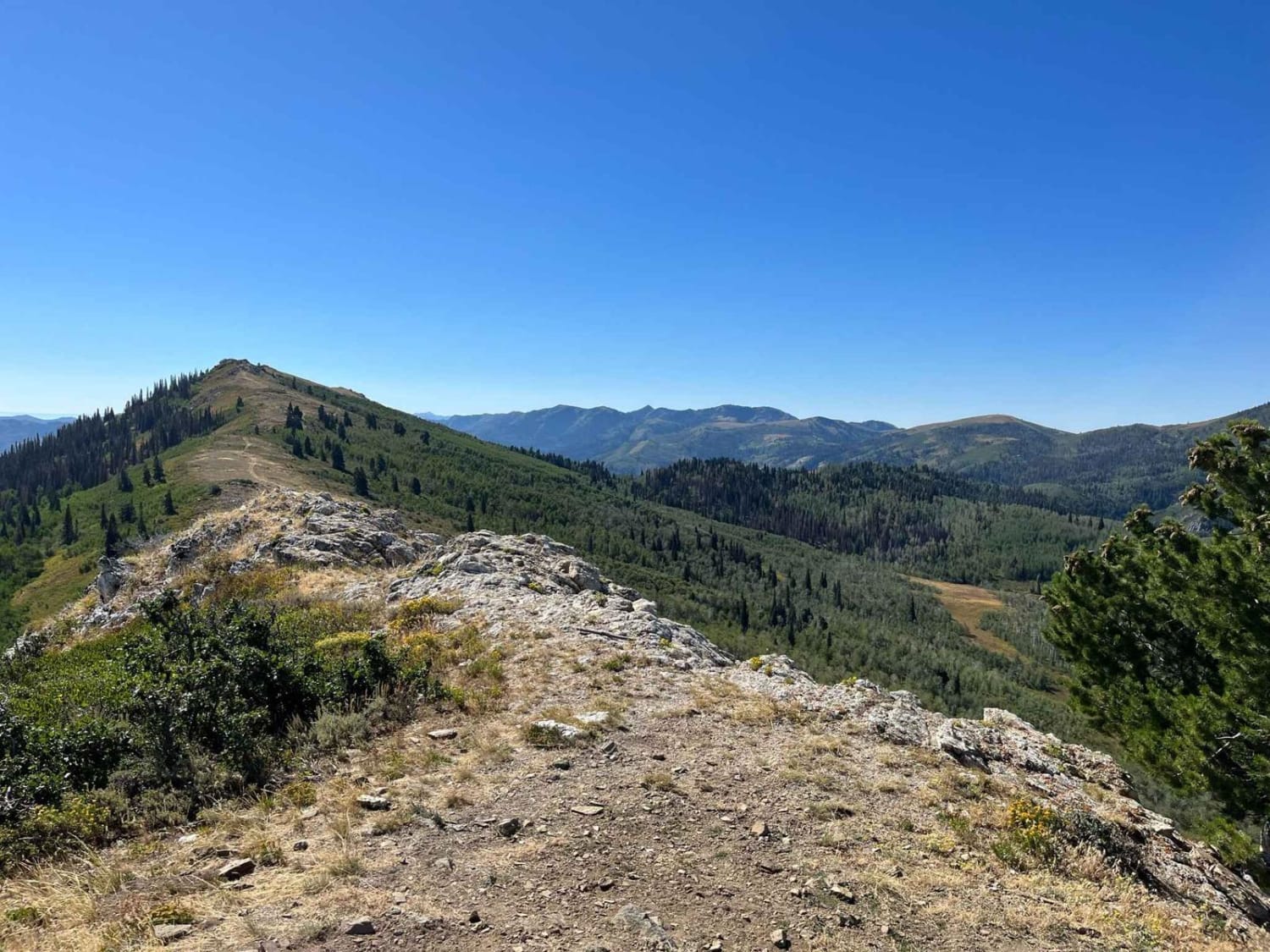
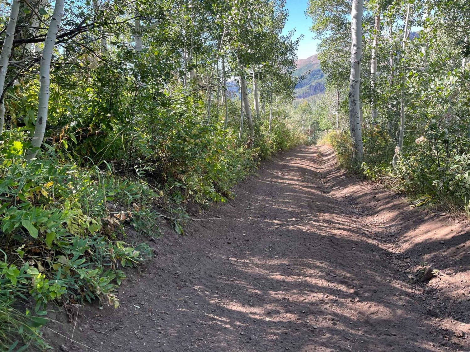
Due to its narrowness and winding turns through the trees, this trail was recently fenced off and gated for 50" and smaller vehicles. The north end begins with a steep scramble up a crumbly rock face. Although there are a few routes up the rocks, there is really only one that can be done without winching up. After the rock face, the trail dips into the tree line and slithers up the hillside before it pops you out near the ridge line. The scenery changes fast in this section from rocky hill climbs, to pockets of thick pines, and then to grassy ascents running parallel to the ridge. Midway through the ride, you will find yourself on top of Gold Hill which will reward you with 360-degree panoramic views. To the East, you will be able to see Morgan Valley. Bountiful Peak hanging above you to the South. Francis Peak and the radar towers to the North. Beautiful views back down Farmington Canyon to the Northwest and a sweeping view of Farmington Flats below. From here, the trail glides gently back down off the summit through an aspen grove, curls around the upper edge of a marsh, and then connect back up with the Farmington Flats Trail.
Photos of Gold Hill
Difficulty
As with all trails, the types of challenges faced on the route vary depending on the direction you travel. Heading from North to South, there is a steep rock face to pick your way up. There are only 1 or 2 routes through this area that can be done without winching up the rocks. Depending on the time of year, and the recency of rainfall, the trail can be pocked with several deep and wide mud holes that can be 18" or more. Wet conditions can also increase the difficulty of this trail because there are off-camber ravines that you can easily slide into.
Status Reports

Popular Trails

Cliffside Trail to Little Creek Mesa


Leeds-Cottonwood Elephant Skin Canyon

North Fork Country Road
The onX Offroad Difference
onX Offroad combines trail photos, descriptions, difficulty ratings, width restrictions, seasonality, and more in a user-friendly interface. Available on all devices, with offline access and full compatibility with CarPlay and Android Auto. Discover what you’re missing today!