Second Creek-Kings Ridge Loop
Total Miles
6.5
Elevation
1,275.74 ft
Duration
0.75 Hours
Technical Rating
Best Time
Spring, Summer, Fall
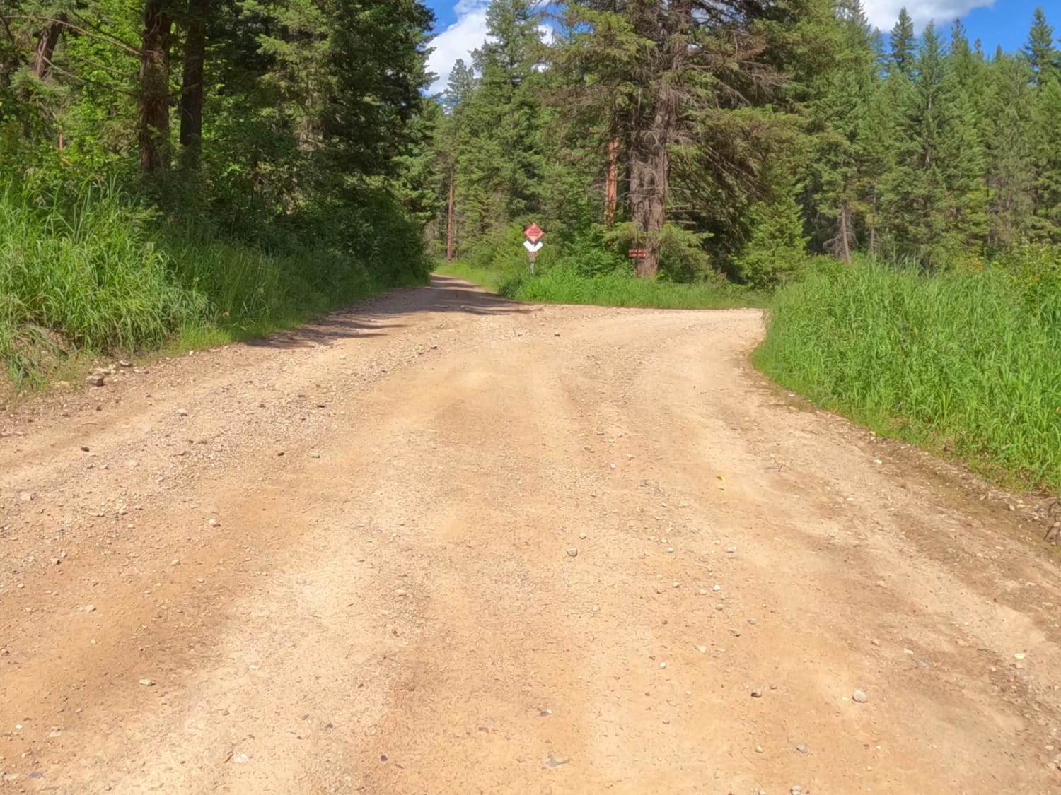
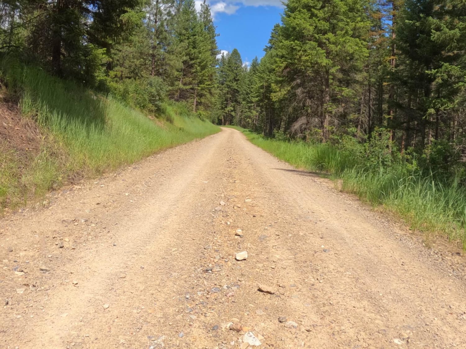
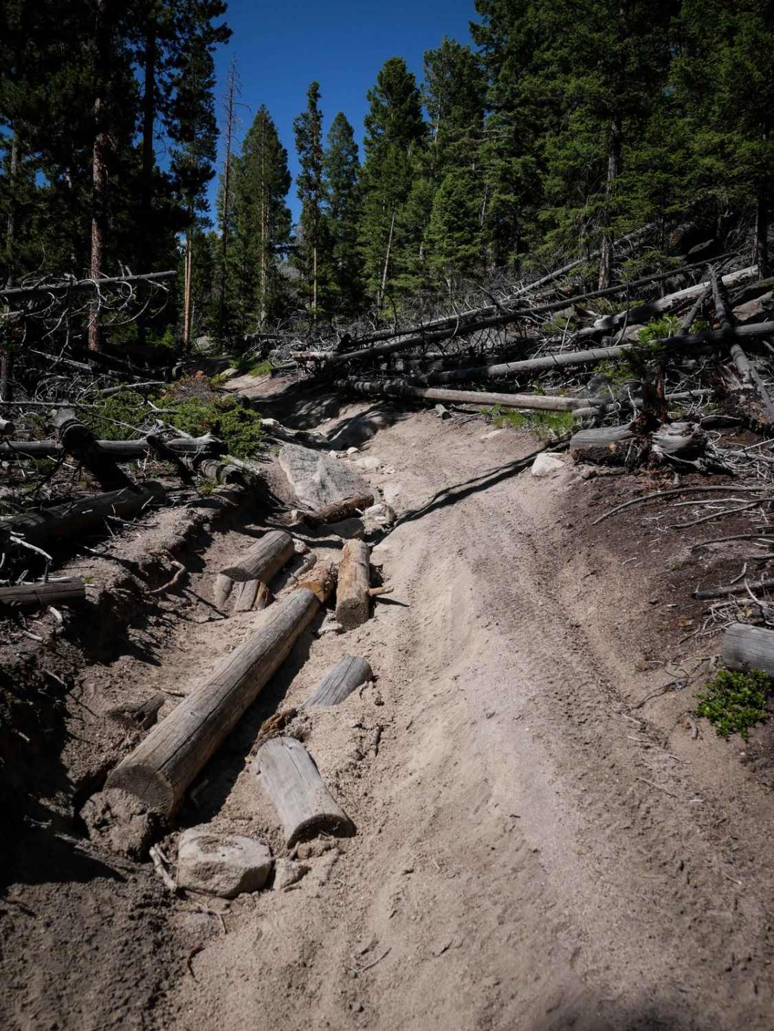
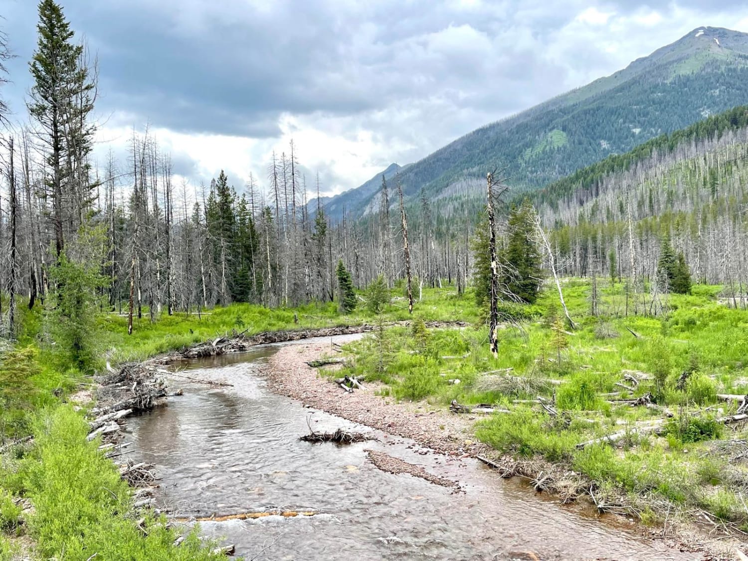
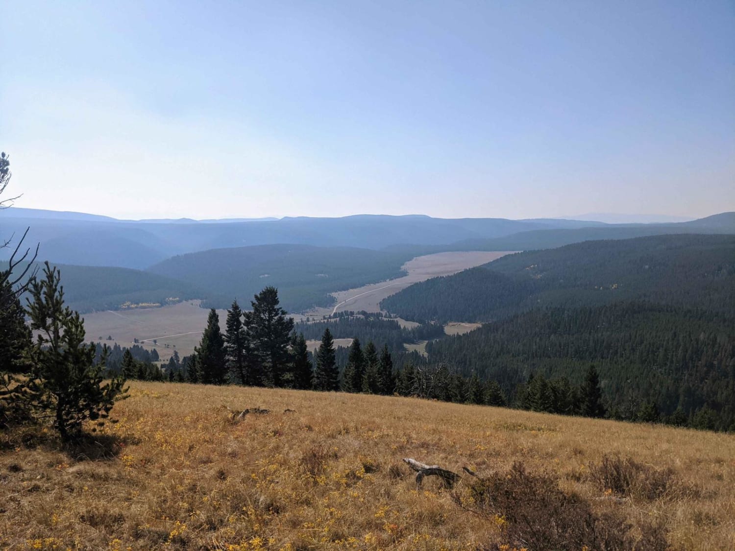
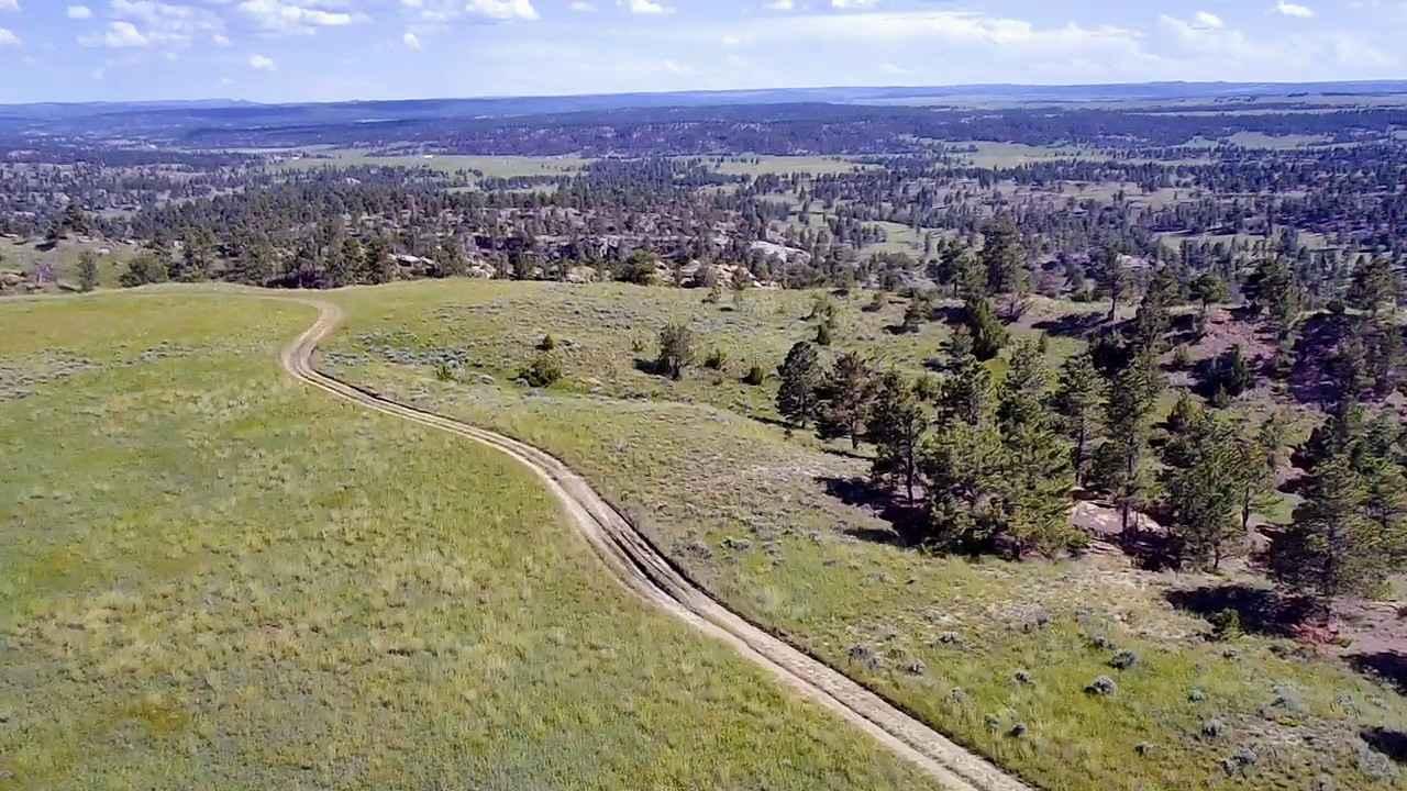
Trail Overview
The route starts at the South Fork of Second Creek Road, runs thru Kings Ridge Road and back to Second Creek Road. The route is mainly gravel with some parts dirt and grass. There is room to pass other vehicles along the entire route. The route takes you thru steep banks of pine and cedar with areas that have been logged out in the past. There are some very scenic views along the route with a chance to see some wildlife. You will need to download Offline Maps as cell service is limited in some areas of the route. The route is a gradual climb from 3100'-4200'.
Photos of Second Creek-Kings Ridge Loop
Difficulty
Steep embankments are very close to the route in some places.
Popular Trails
Upper Trail Creek
Horsethief Recreation Area
The onX Offroad Difference
onX Offroad combines trail photos, descriptions, difficulty ratings, width restrictions, seasonality, and more in a user-friendly interface. Available on all devices, with offline access and full compatibility with CarPlay and Android Auto. Discover what you’re missing today!