3 to 4 Road
Total Miles
0.4
Elevation
125.45 ft
Duration
0.25 Hours
Technical Rating
Best Time
Spring, Summer, Fall, Winter
Trail Overview
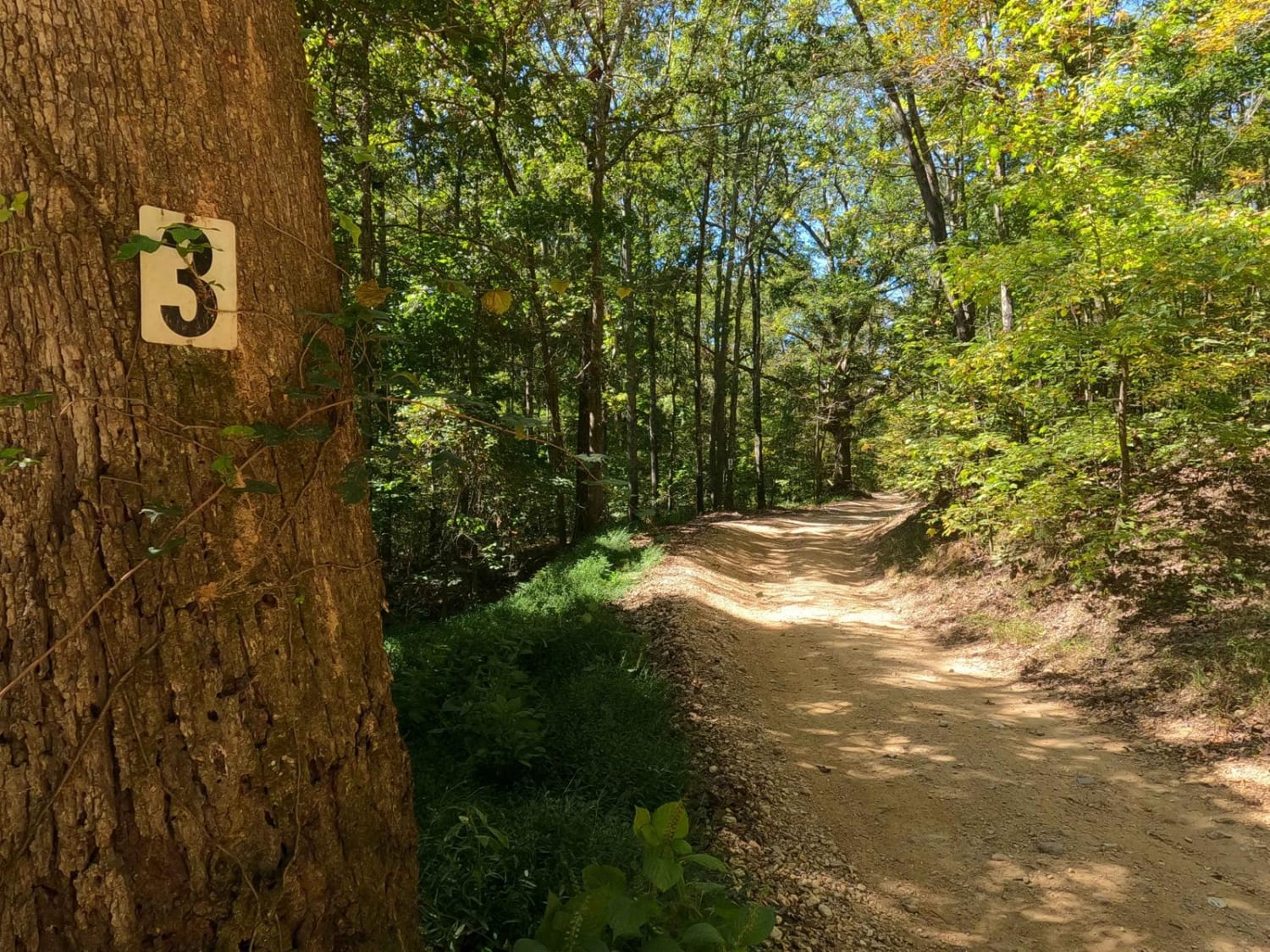
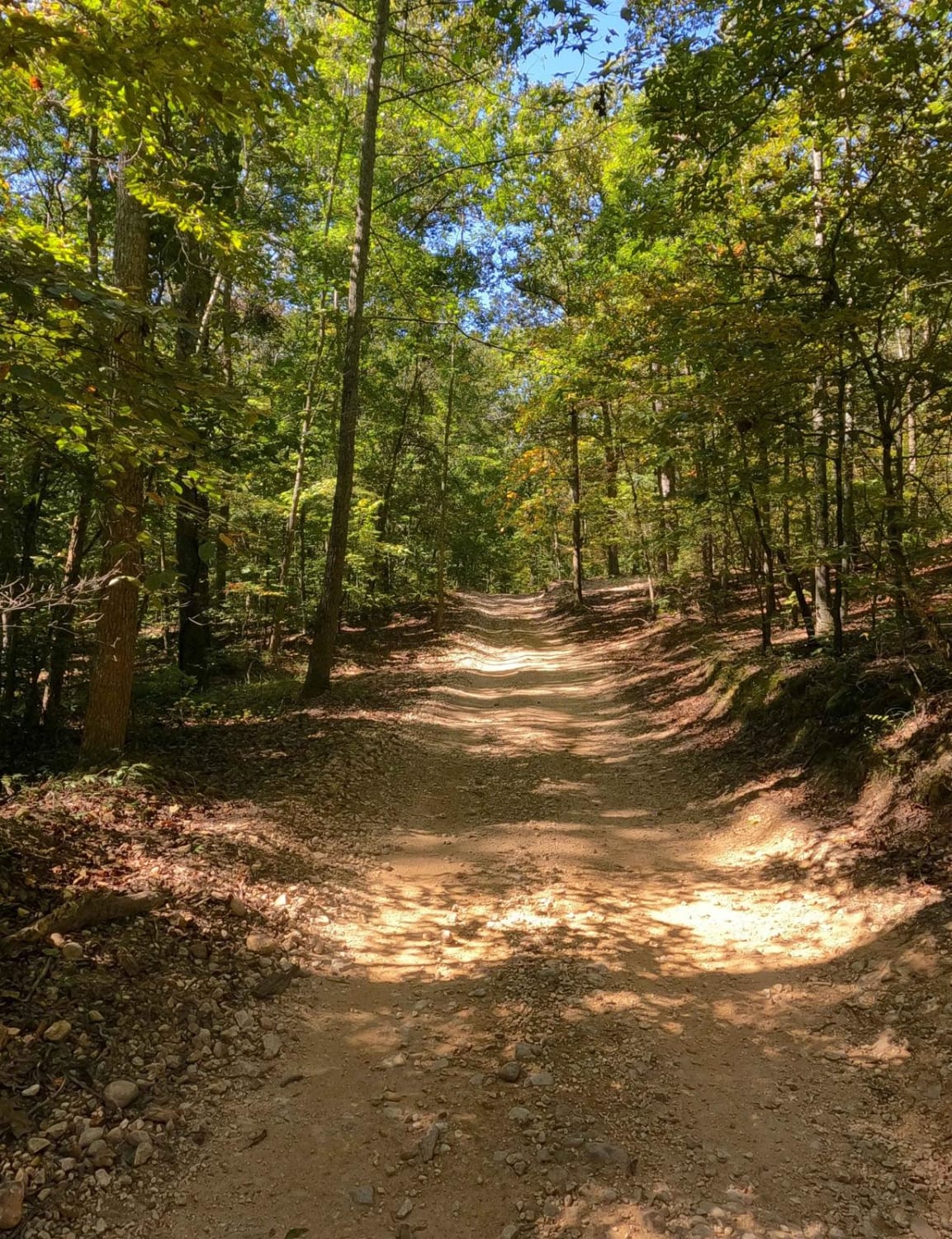
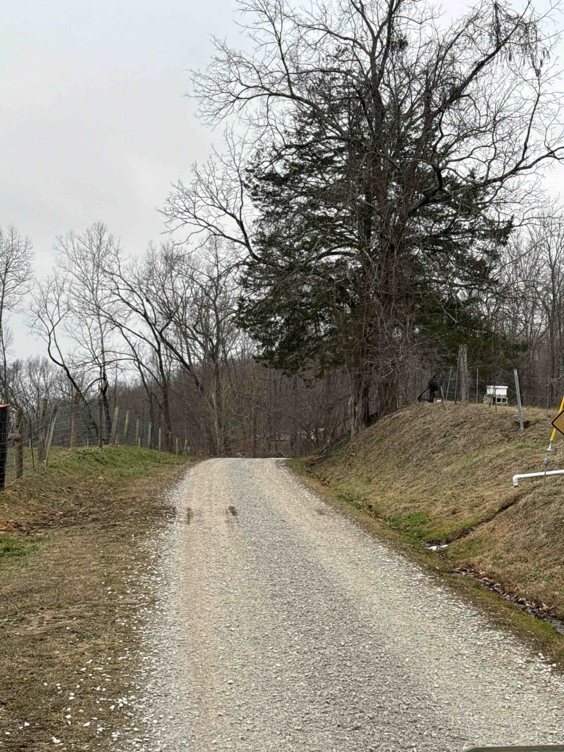
The 3 to 4 Road, is a semi-maintained creek gravel and dirt primary road, connecting point to point from the 3 intersection to the 4 intersection in Turkey Bay OHV, within the Land Between the Lakes National Recreation Area. Its official ID is part of Forestry M01. The Road is a short and simple example of a valley bottom road within Turkey Bay. When headed east to west, it features a generally straight layout over dirt-bottomed roads with coarse gravel mixed in, with the biggest thrill being small whoops along the way as it slowly goes down a gentle grade until it reaches the 4 intersection at Turner Hollow.
Photos of 3 to 4 Road
Difficulty
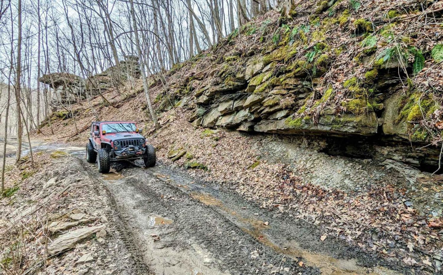
The 3 to 4 is the simplest primary road (outside of the FS 167) within Turkey Bay. It is well polished and features few obstacles or natural influence, due to it resting above the valley bottom to the south, versus being amongst the bottoms. However, the road could possibly have a thin layer of mud form and small water collection spots on it in wet conditions and after heavy rain. Other than this, the road features a slow grade downhill into the Turner Hollow bottoms, featuring small whoops along the way to help keep the speed down on the trail. It's given a 1/10 base rating for its simplicity and ease. Difficulty would only increase in serious conditions. Other than this, watch for potholes and potential erosion ruts.
Status Reports
Popular Trails
Sand Gap Road (FSR 731)

FS 142 - Higgins Bay Road
The onX Offroad Difference
onX Offroad combines trail photos, descriptions, difficulty ratings, width restrictions, seasonality, and more in a user-friendly interface. Available on all devices, with offline access and full compatibility with CarPlay and Android Auto. Discover what you’re missing today!
