8-Mile Springs
Total Miles
2.7
Elevation
1,372.01 ft
Duration
--
Technical Rating
Best Time
Fall, Spring
Trail Overview
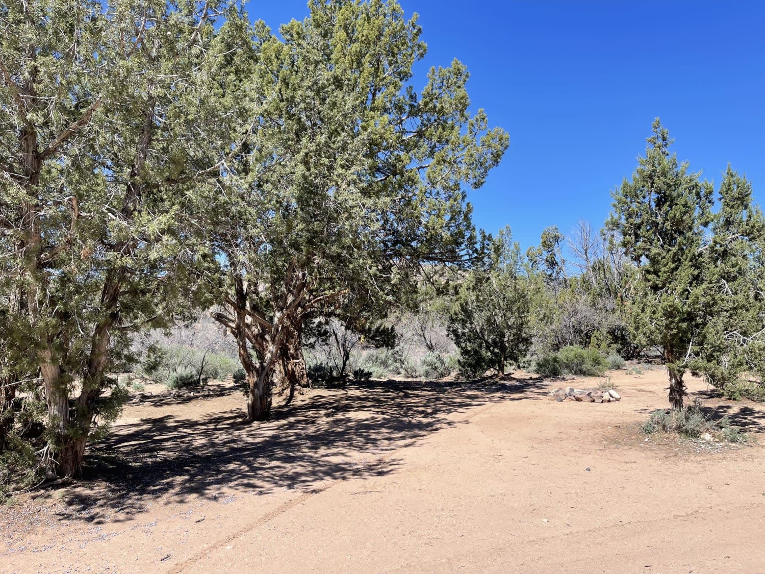
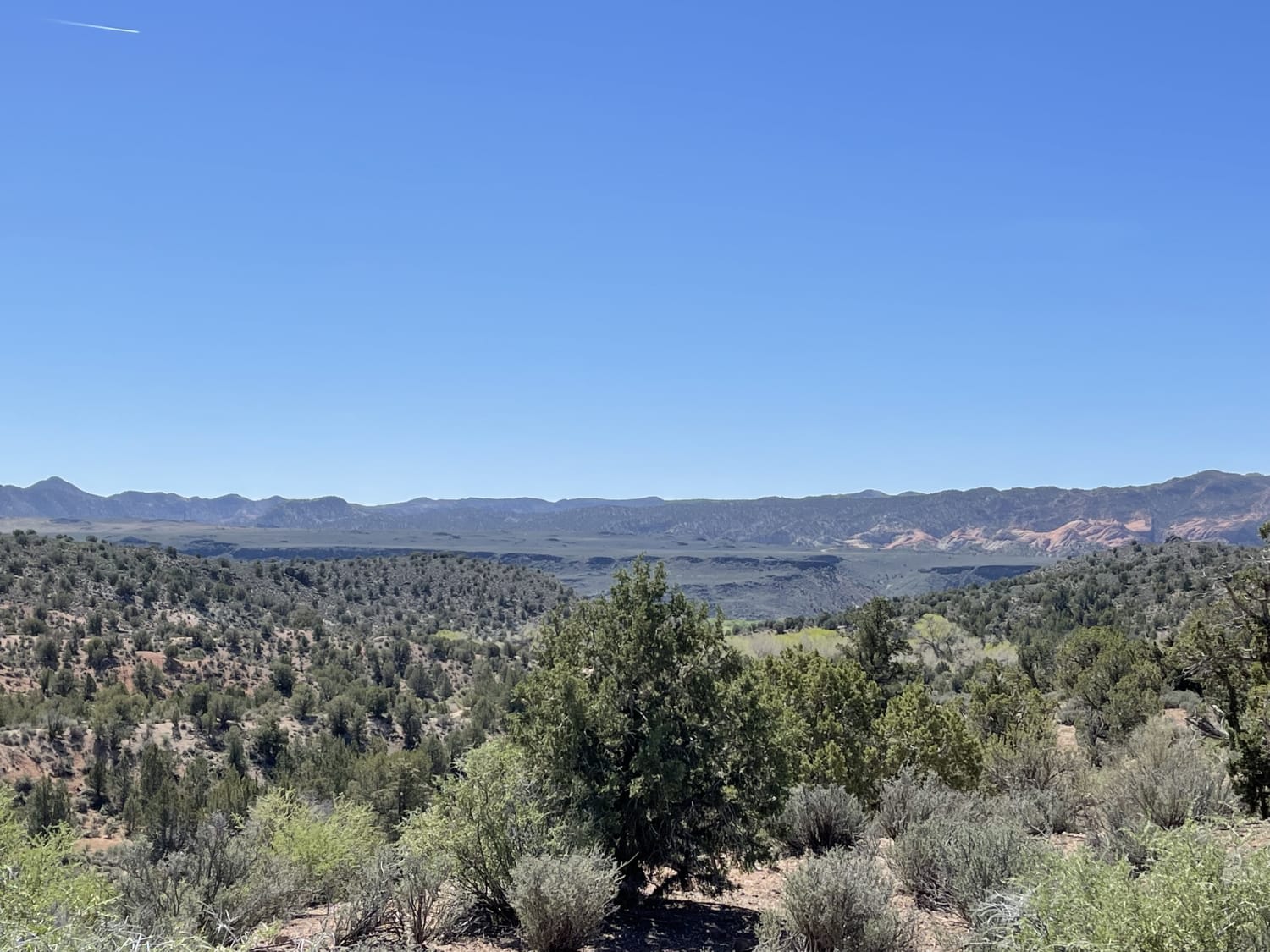
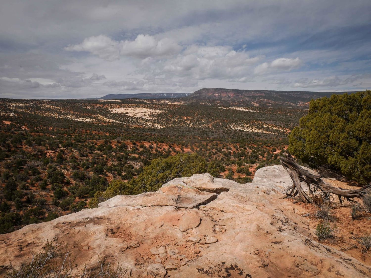
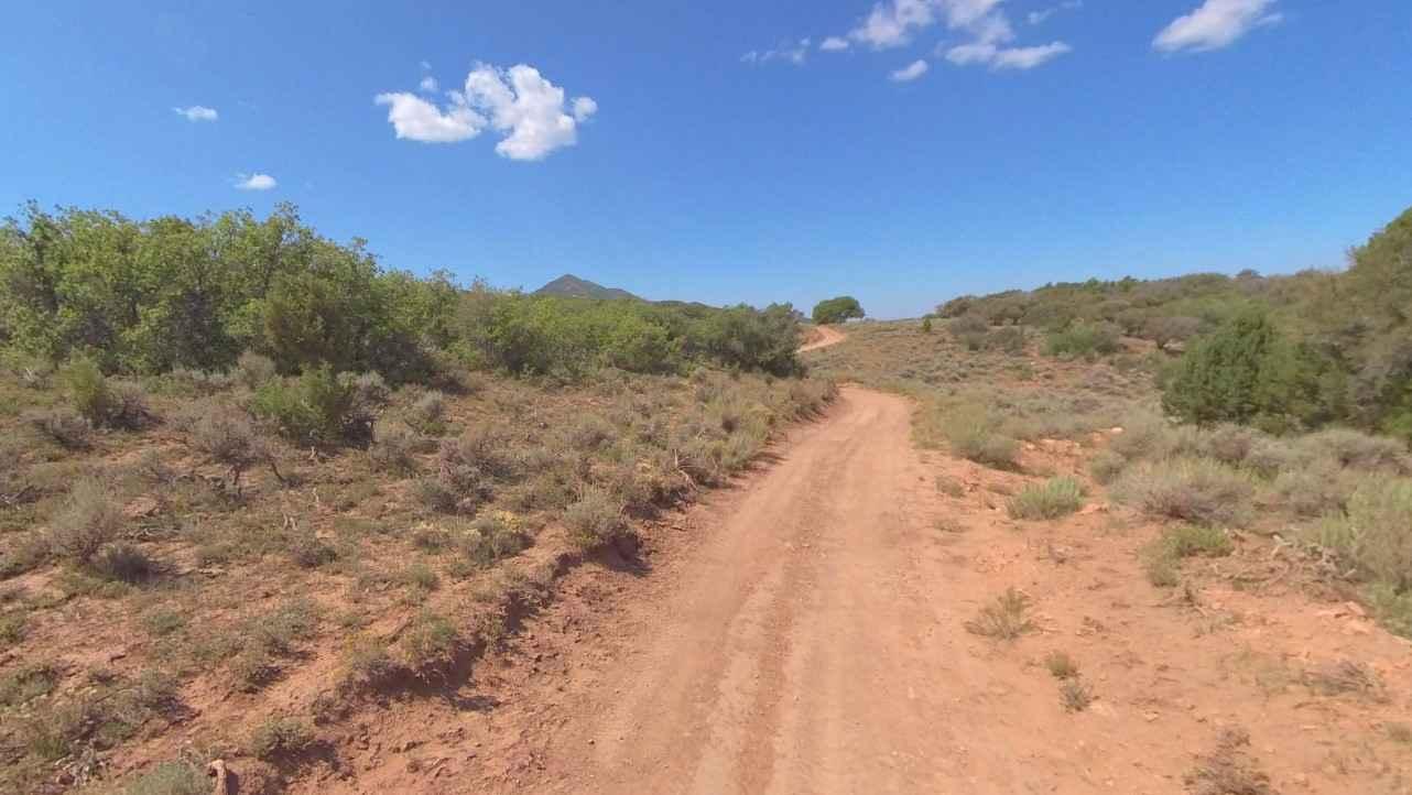
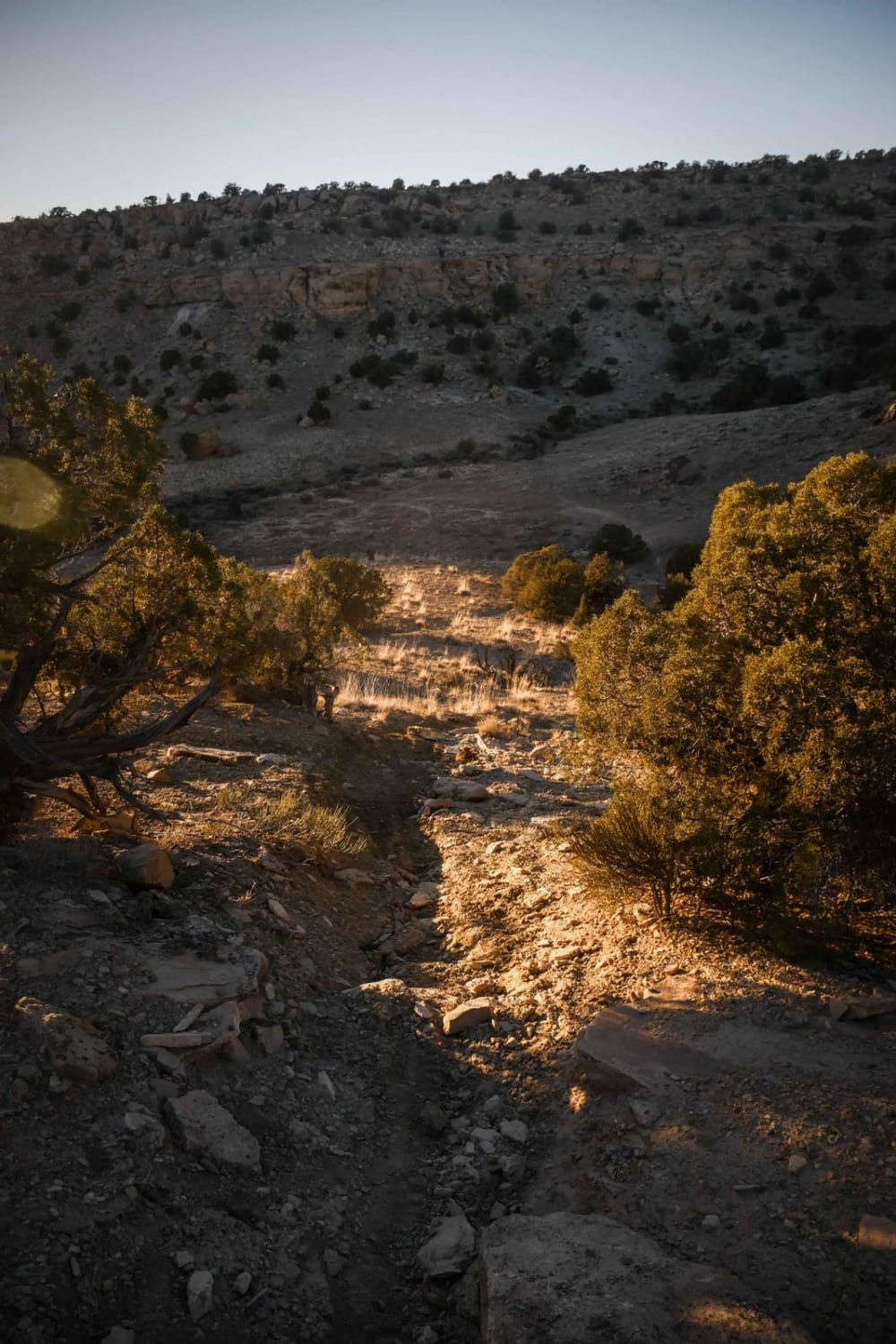
This trail heads up a canyon where a short hike would lead to 8-mile springs. There is plenty of dispersed camping spots and fire rings. Choose whether you prefer a view or some lovely shade trees. The only way to get to the springs would be a hike up the canyon; the trail does not reach them with a vehicle, but there is room to turn around before the end, and it appears the best access is from the riverbed itself. As one gains elevation, they are rewarded with sweeping views of the valley and the area's rock formations. The lower section of the trail is easy and graded with two lanes to pass. The upper section past the powerlines turns to easy rocky two-track One bar LTE cell service fades in and out.
Photos of 8-Mile Springs
Difficulty
Easy Two cars wide washboard transitions to easy relatively flat two-track
Status Reports
Popular Trails
Overlook Trail Part 2
Steel Bender Loop Route
The onX Offroad Difference
onX Offroad combines trail photos, descriptions, difficulty ratings, width restrictions, seasonality, and more in a user-friendly interface. Available on all devices, with offline access and full compatibility with CarPlay and Android Auto. Discover what you’re missing today!
