Hay Canyon Trail
Total Miles
7.4
Elevation
2,176.09 ft
Duration
--
Technical Rating
Best Time
Summer
Trail Overview
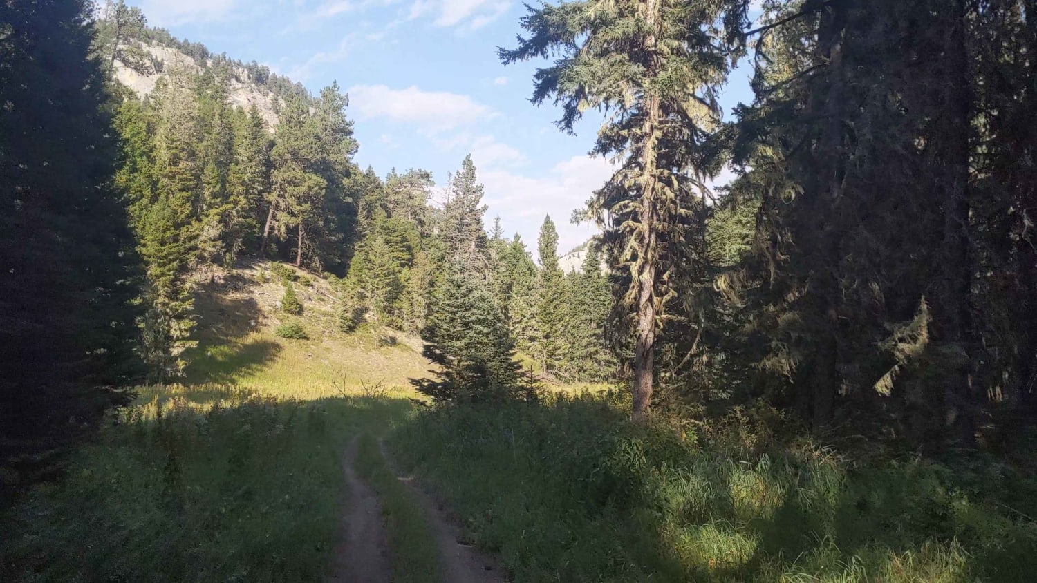
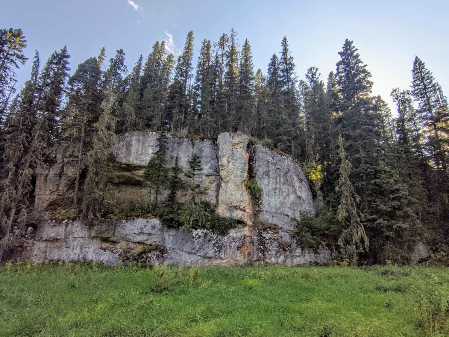
Open July 1 - Oct 14. Hay Canyon Trail is in the Little Belt Mountains, located in the Lewis and Clark National Forest, Southeast of Great Falls and Northwest of Harlowton, Montana. From Hay Canyon Campground, the Eastern end of the trail goes through a canyon that has some heavily forested areas. Along the way are clearings revealing interesting rocky canyon walls. The western part of the trail has some steep sections but nothing too difficult. The trail ends at a junction where you can connect to multiple other trails. Overall, most of the trail is very smooth. This is an easy ride that is especially enjoyable in the summer when you will be treated to a lot of shade as you are mostly in the trees. Cellular service is non-existent here, so plan ahead with offline maps before your trip.
Photos of Hay Canyon Trail
Difficulty
Some short steep sections
Popular Trails
McCabe Loop(Red Hills)
Eastern Garnet Range Road

Lower Little Blue Joint
The onX Offroad Difference
onX Offroad combines trail photos, descriptions, difficulty ratings, width restrictions, seasonality, and more in a user-friendly interface. Available on all devices, with offline access and full compatibility with CarPlay and Android Auto. Discover what you’re missing today!
