Middle Bays Trail - 4 to A Road
Total Miles
0.8
Technical Rating
Best Time
Spring, Summer, Fall, Winter
Trail Type
Full-Width Road
Accessible By
Trail Overview
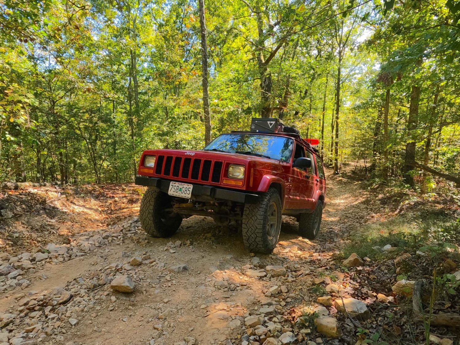
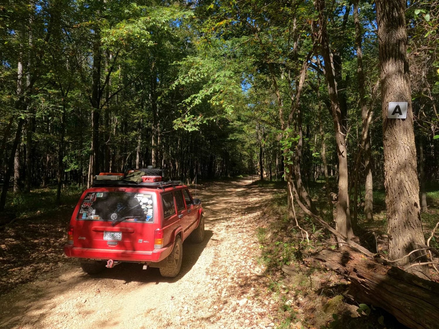
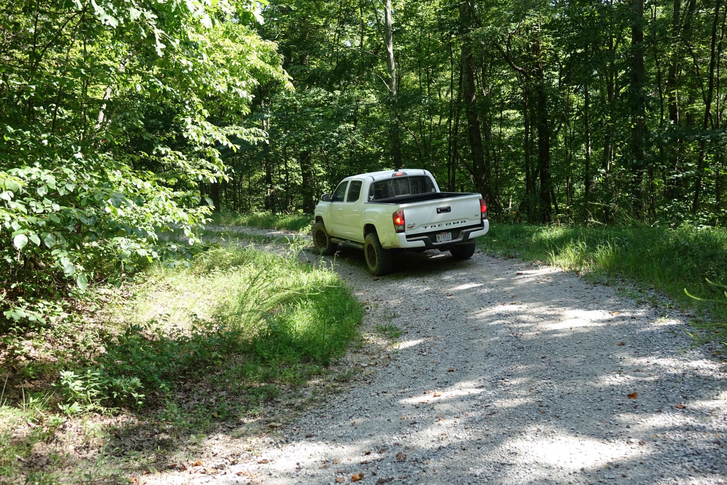
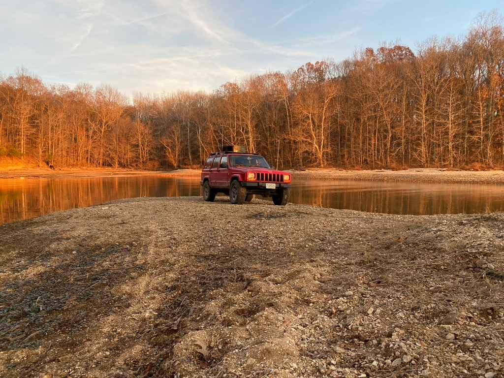
The Middle Bays Trail/4 to A Road, connecting the two middle bays within the OHV park, is a semi-maintained creek gravel and dirt primary road with natural tendencies. It connects point to point from the 4 intersection near Turner Hollow/North Middle Bay to the A intersection near Hendon Cemetery/South Middle Bay in Turkey Bay OHV, within the Land Between the Lakes National Recreation Area. Its official ID is part of Forestry M04. Going north to south, the road starts at the 4 intersection in the low-laying bottoms and features creek bottom gravel leading to Turner Hollow/North Middle Bay. Here you can access the deep edge of the Bay. After passing the Bay, the road changes over to climbing the far west hills, starting with an optional hard rutted line, "Kit's Climb," to the west or a bypass to the east. Both are steep grades with large walls on the edges, one vehicle wide. The road climbs up to the ridge tops, featuring tight turns and trees, with ruts, small bumps, and whoops throughout. At the southern end of the ridge, the road makes a hard 90-degree turn to head east, down a mild grade into the rolling hills and bottoms along the Hendon Cemetery/South Middle Bay. Then it hits an open area and shortly after, the A intersection. From the southern end of this road, via the Orange 7204, you can access the South Middle Bay.
Photos of Middle Bays Trail - 4 to A Road
Difficulty
The 4 to A Road's difficulty features some optional challenges. Mostly the road is a 3/10, featuring a dirt road base, mildly challenging ruts, soupy creek bottom gravel sections, tight eroded-out grades, small foot-tall whoops, off-camber terrain, and loose rock ranging from coarse gravel to sparsely spread out volleyball-size rock. The one notable obstacle that ramps this up in difficulty is the original line climbing uphill from Turner Hollow Bay, dubbed "Kit's Climb." Kentucky Lake water levels play a huge part here. First, you have to find a line alongside the bay shoreline gravel. This is shaped by the water going up and down, and may not even be accessible depending on the season. Expect this section to be very loose gravel, including washed-out holes featuring deep mud and water collection spots. This has to be passed just to get to the base of the hill. Then "Kit's Climb" features a high-moderate steep grade uphill, with a large 3-foot rut meandering side to side of the pathway and tight trees along the edges, forcing you to pick a line to overcome and then straddle said rut. This section is given a 5/10 and justifies the base rating. The difficulty of this trail will increase in rainy and wet conditions; the surface dirt will easily become thin and slick mud, creating low traction points on the hills, requiring the heavy use of momentum when going uphill, and taking extra time when going downhill.
History
On the southern end of this trail, just south of the trail along the bay, is the Hendon Cemetery at 36.75055, -88.09908. Pay respect to those that came before us.
Status Reports
Popular Trails
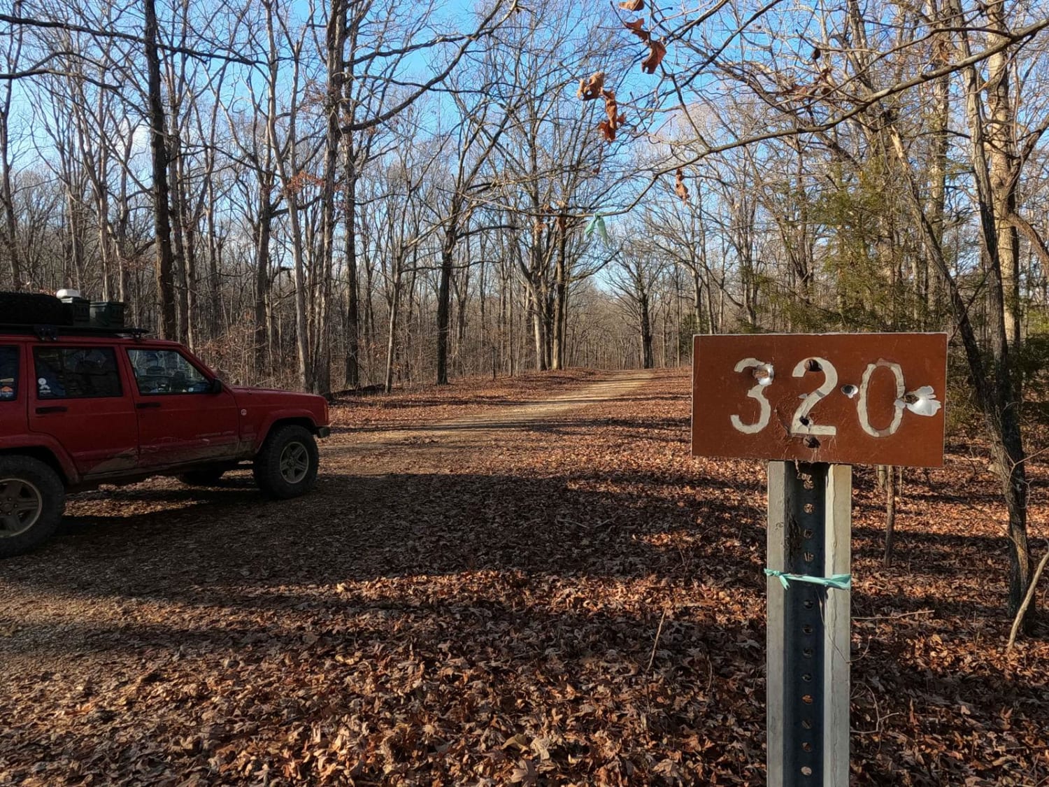
Old Silver Trail - FS 320
Carmack Bay FSR 121/121C

Pinnegar Road
The onX Offroad Difference
onX Offroad combines trail photos, descriptions, difficulty ratings, width restrictions, seasonality, and more in a user-friendly interface. Available on all devices, with offline access and full compatibility with CarPlay and Android Auto. Discover what you’re missing today!
