McGee Spring
Total Miles
7.8
Elevation
2,273.52 ft
Duration
0.75 Hours
Technical Rating
Best Time
Spring, Summer, Fall, Winter
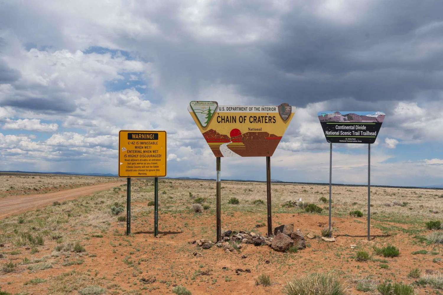
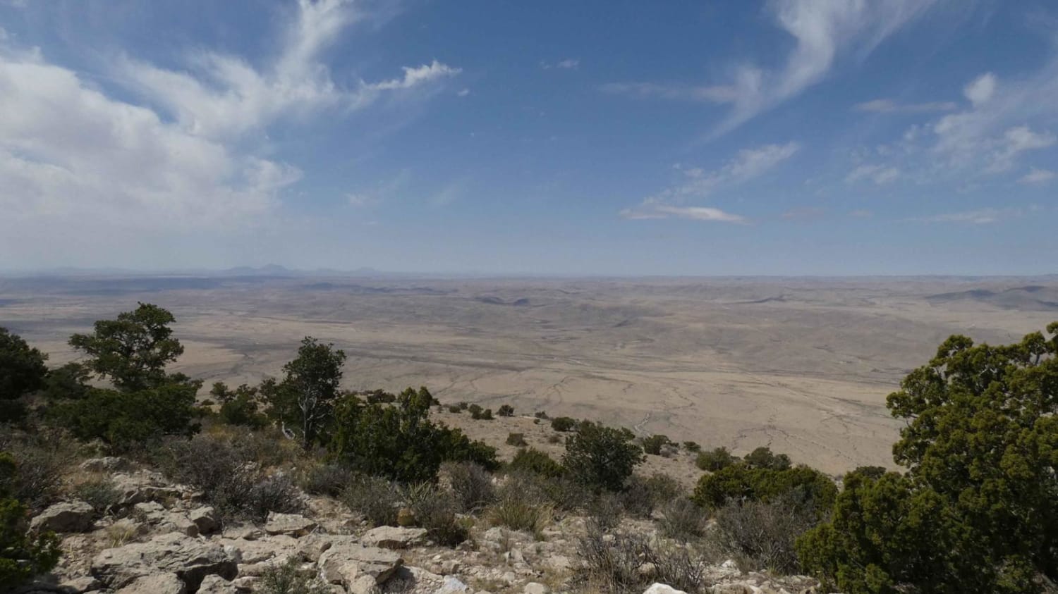
Trail Overview
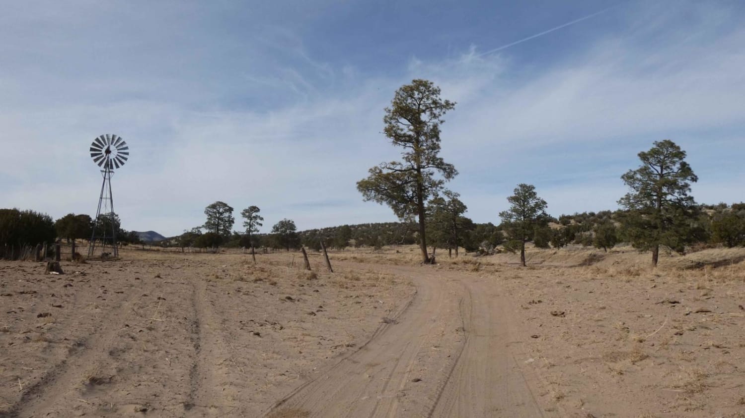
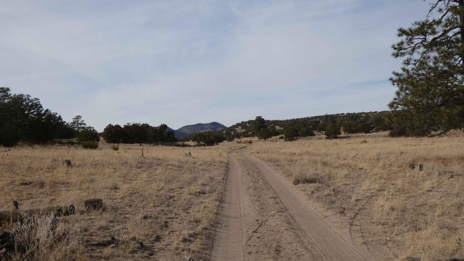
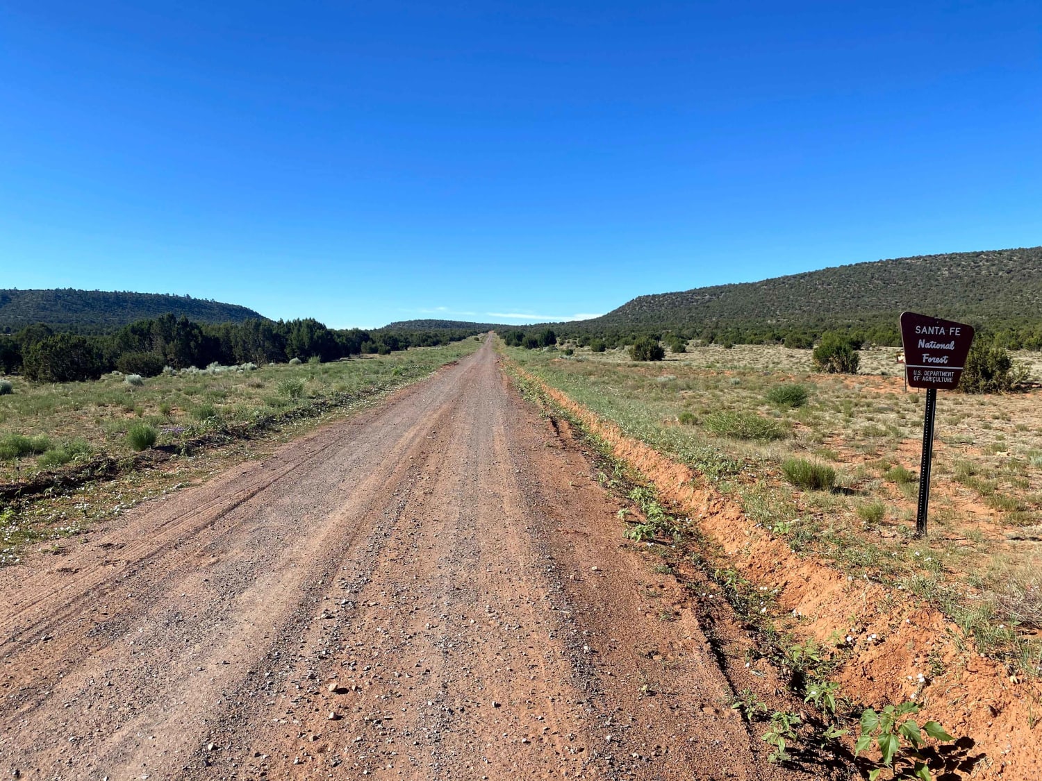
McGee Spring is a fun trail for vehicles that can handle and navigate soft sand and shale. The trail connects from CR 169 to a mid-point on Gallinas Canyon/FSR 467 and has no obstacles over 12 inches in size. However, there are several deeper washes, some with some rutting and slightly off-camber, as well as a few short steep grades with loose, rocky surfaces. A majority of the trail is wide enough for two vehicles as it winds through a very soft arroyo with a surface combination of sand, shale, and rocks. There are a few areas where the trail runs adjacent to the arroyo where there is little room to pass due to trees, but there is room to pull off if needed. Cell service is extremely weak throughout this trail with several areas having no service at all. There are no designated spurs off this trail and a portion of it towards the northeast shows as decommissioned, with the arroyo as a bypass leading back to CR 169. Drivers should take this section slowly to ensure they remain in the high-traffic area and out of any closed FS roads.
Photos of McGee Spring
Difficulty
Drivers will encounter some larger loose rocks up to 12 inches in size along the trail, as well as some deeper washes and short steep grades. Much of the trail does traverse through an arroyo with a very soft sand and shale surface.
Status Reports
Popular Trails
El Cerrito Area of Santa Fe National Forest
FR 70 American Creek
Chain of Craters Backcountry Byway
Guadalupe Rim Road
The onX Offroad Difference
onX Offroad combines trail photos, descriptions, difficulty ratings, width restrictions, seasonality, and more in a user-friendly interface. Available on all devices, with offline access and full compatibility with CarPlay and Android Auto. Discover what you’re missing today!