Cedar Mountain Canyon
Total Miles
1.3
Technical Rating
Best Time
Spring, Fall, Winter
Trail Type
Single Track
Accessible By
Trail Overview
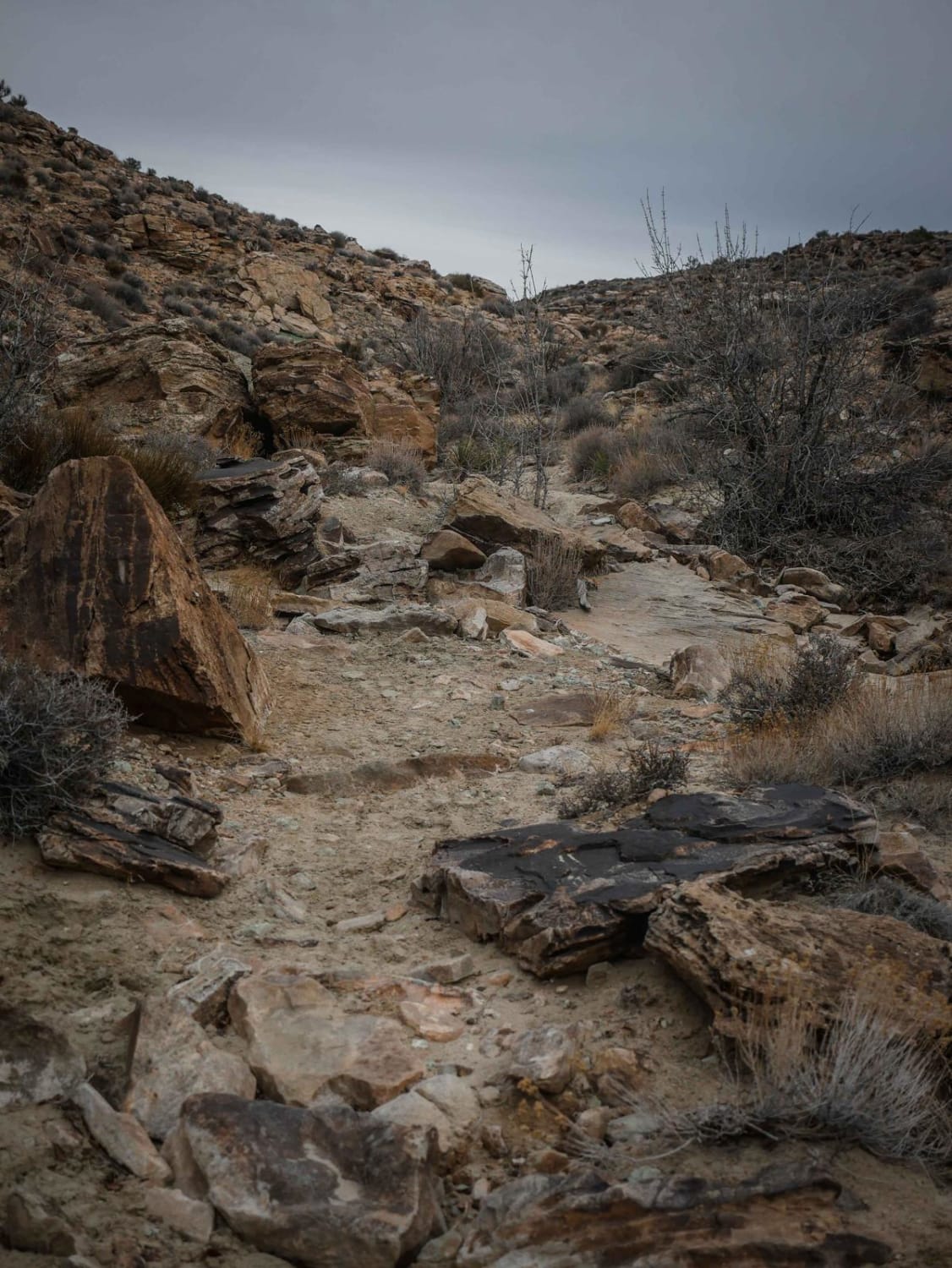
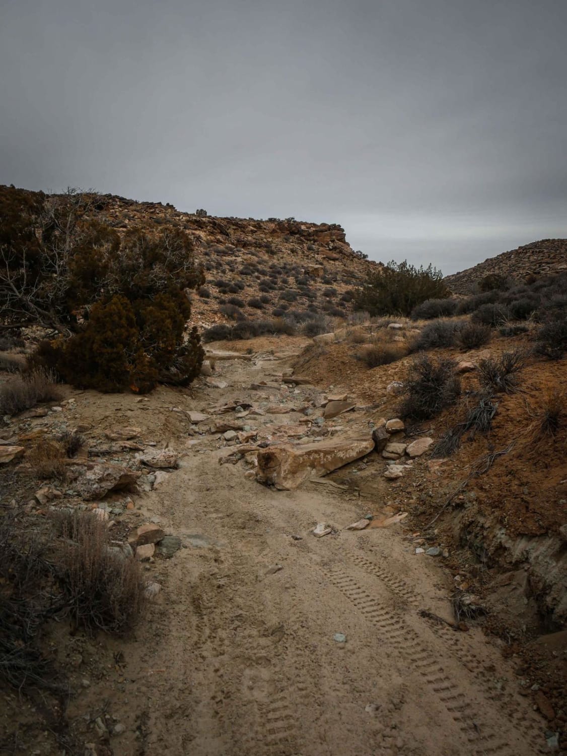
This is a 1.4-mile intermediate segment of single track in the Sovereign Trails System. Going east to west, it starts at the bottom of the desert mesas in a rocky wash. The trail rides both in the wash and on a rim elevated above the wash, with lots of embedded rock and granite boulders. There are big slabs of rock in the wash, and big boulders lining the trail after it climbs out of the wash. The trail is a bit harder because you ride over so much slab with loose rock, and it has a bit of exposure when side-hilling across the mesas. There are faster sections of flowy dirt in between. The trail follows the canyon the whole way, very gradually dropping a couple of hundred feet in elevation, and there are a couple of moderate rock ledges. The northeast end starts at Dalton Wells Road, and the southwest end meets up with another segment of Sovereign Singletrack.
Photos of Cedar Mountain Canyon
Difficulty
This is an intermediate desert single track with exposure, rock ledges, and lots of rocky sections full of slab rock and slickrock.
Status Reports
Cedar Mountain Canyon can be accessed by the following ride types:
- Dirt Bike
Cedar Mountain Canyon Map
Popular Trails
Lower Rocks Road
Sheep Creek - FS 70051
Montezuma Canyon Road

McGath Point Overlook 31431
The onX Offroad Difference
onX Offroad combines trail photos, descriptions, difficulty ratings, width restrictions, seasonality, and more in a user-friendly interface. Available on all devices, with offline access and full compatibility with CarPlay and Android Auto. Discover what you’re missing today!
