Montezuma Canyon Road
Total Miles
34.6
Technical Rating
Best Time
Spring, Summer, Fall, Winter
Trail Type
Full-Width Road
Accessible By
Trail Overview
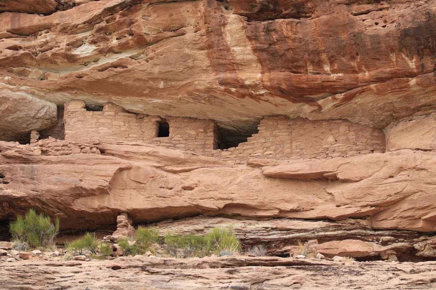
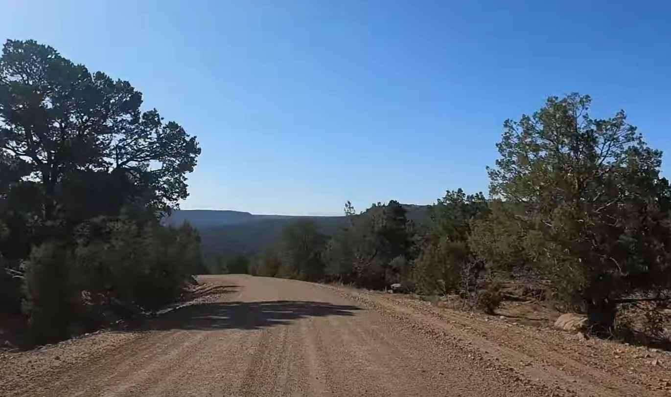
Montezuma Canyon Road is a 34.5-mile point-to-point trail rated 1 of 10 located in San Juan County. Montezuma Canyon Road follows a high desert canyon with a well-maintained graded or gravel road. This road is suitable for both 2WD and 4WD vehicles. Although this is a point-to-point trail, it is a destination trail with too many attractions to list, including the scenery, archeological and historical sites, as well as potential wildlife sightings. Located along this stretch of canyon road are petroglyphs and various types of native lodgings, including caves, rock houses, and a reconstructed Kiva (native Puebloan structure). The pictures only show a few of the more than a dozen sights along the 34-mile stretch of road. The road is a hard-packed dirt and gravel road used by the local ranchers and is well maintained. The northernmost portion of the canyon (roughly 16 miles once in the canyon) is mostly private property on both sides and consists of both ranches and vineyards. Please respect their ownership and look for, but don't cross, boundaries. The southern section of the road is where you will see most of the sites. Names and coordinates are listed in the side trips section below. Many of the sites are not obvious if just driving down the canyon road but will require travelers to exit their vehicles and look around. Bring binoculars for good close-up views (and a good camera). Montezuma Canyon is largely surrounded by public (BLM) land and is only sparsely inhabited, with various places suitable for primitive camping. The only extended private area is on the west side stretching about ten miles, approximately along the middle third. The winding road through the canyon is 43 miles long, with most of the ruins and rock art within an 11-mile section between the tributaries of Cave Canyon and Devil Canyon; further north are some lesser ruins, more spread out, while to the south there appear to be no ancient sites. At least one full day could be spent exploring in-depth, or just a few hours for the (four) major sites, which are a group of rock art panel panels near Cave Canyon, the Three Kiva Pueblo, an extensive settlement at the mouth of Bradford Canyon, and the nearby Honeycomb Ruin. Although not a remote area, don't expect good cellphone service. The nearest services and fuel are in Blanding and Monticello.
Photos of Montezuma Canyon Road
Difficulty
This is a county dirt road maintained for high-clearance 2WD and 4WD use in adverse conditions.
Status Reports
Montezuma Canyon Road can be accessed by the following ride types:
- High-Clearance 4x4
- SUV
- SxS (60")
- ATV (50")
- Dirt Bike
Montezuma Canyon Road Map
Popular Trails

Racetrack Cutoff (FR 70203)
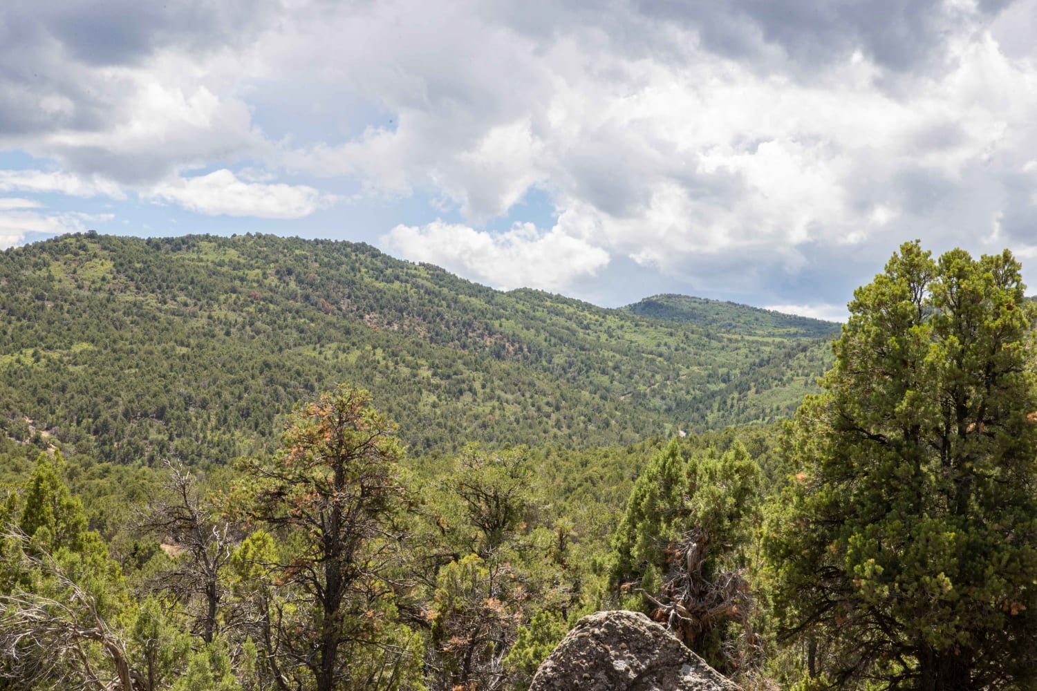
Soldier Canyon to Rex's Reservoir Road
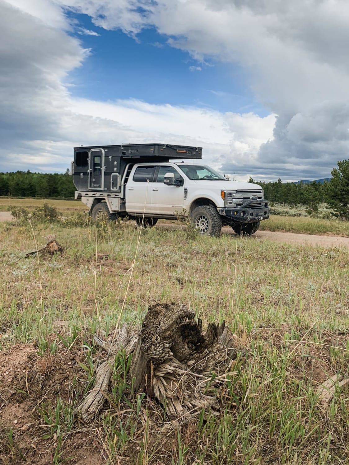
North Slope to Deep Creek
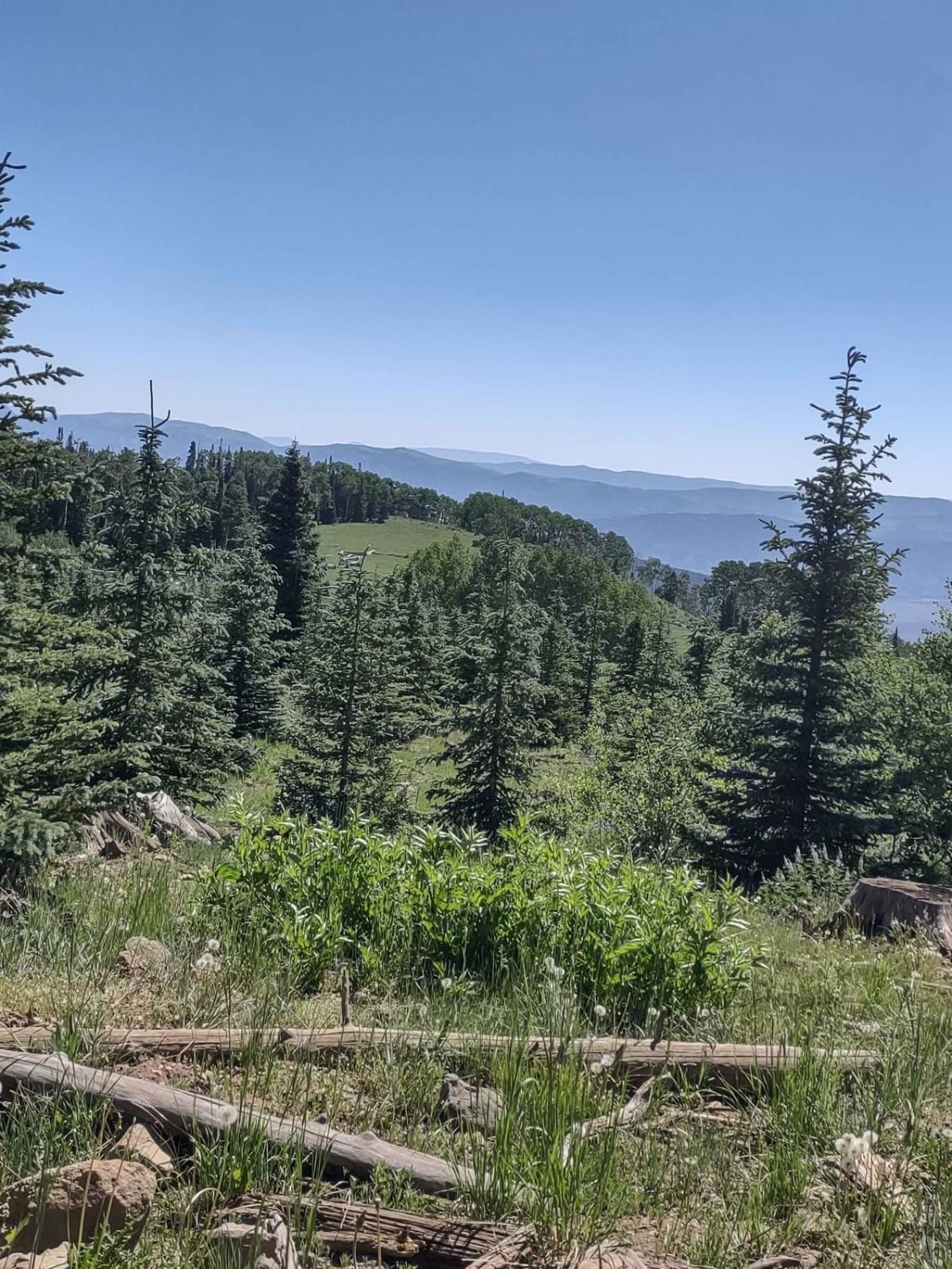
Big Flat Long Flat (FS 40581/Paiute D-3/Trail 1A)
The onX Offroad Difference
onX Offroad combines trail photos, descriptions, difficulty ratings, width restrictions, seasonality, and more in a user-friendly interface. Available on all devices, with offline access and full compatibility with CarPlay and Android Auto. Discover what you’re missing today!
