Forest Service Road 10
Total Miles
14.2
Elevation
2,613.95 ft
Duration
2 Hours
Technical Rating
Best Time
Spring, Summer, Fall
Trail Overview
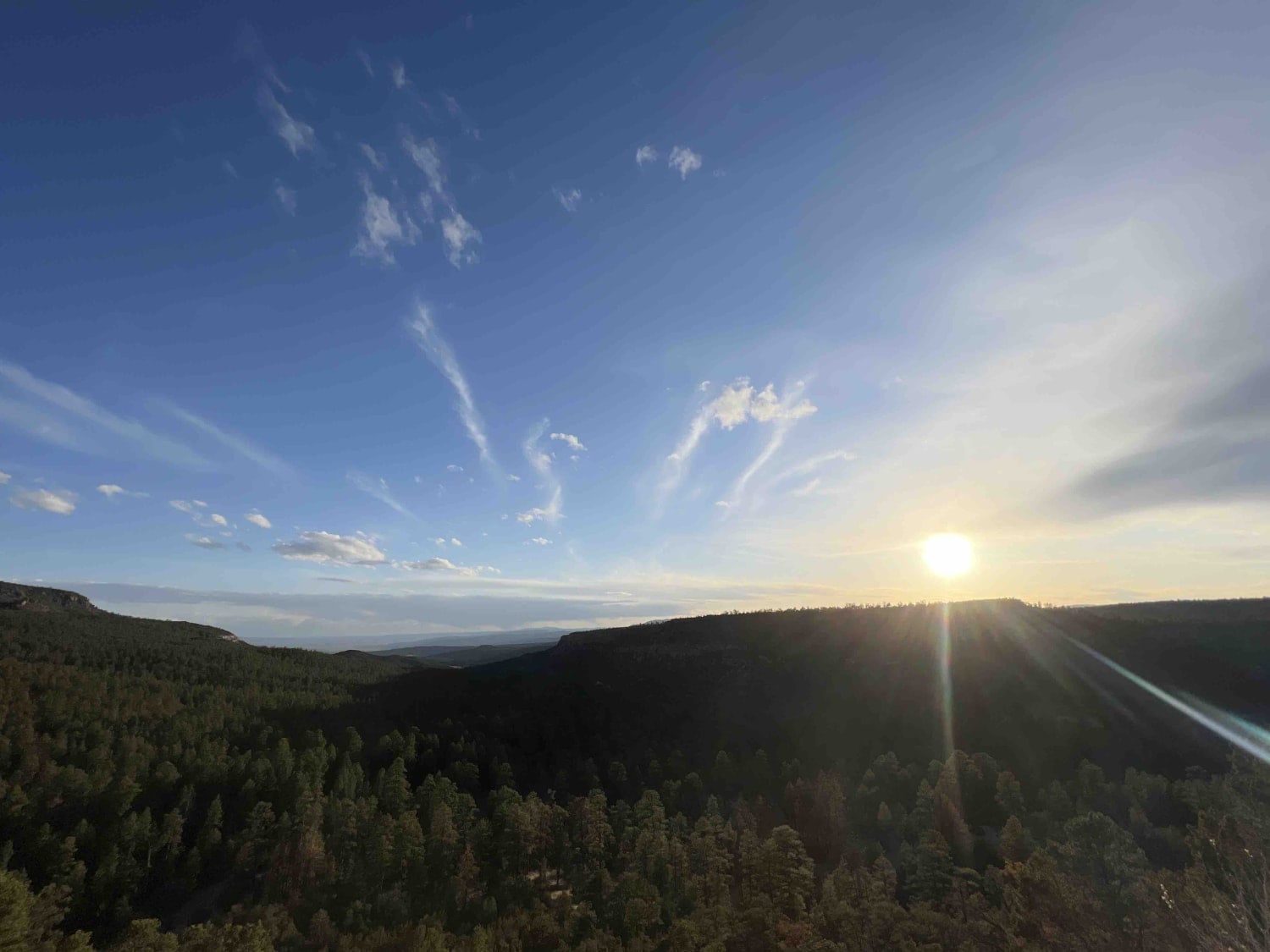
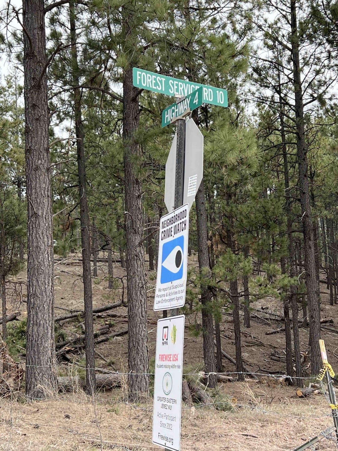
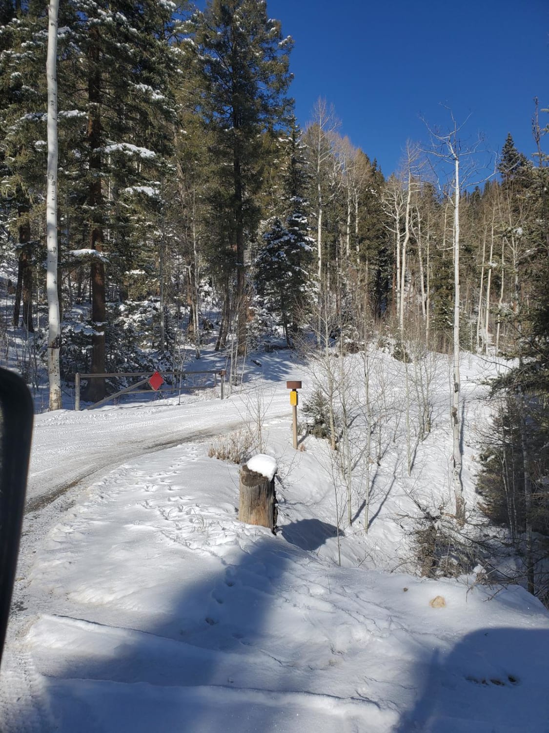
Forest Service Road 10 is an absolutely million-dollar view road guaranteed to leave you awestruck. The entrance off Highway 4 has been washed out so only trucks or high-clearance vehicles can maneuver the ditch obstacle. It's an easy gravel road with steep drop off's, steep hill climbs and larger rocks. There are numerous dispersed campsites, as well as state ran campsites that are farther down the road. This road is 14.2 miles long but there are several areas to pull over and take pictures of the panoramic views that encompass this route. There is a two thousand elevation loss on this road which allows you to see the changes of the land from mountains to the desert. You will find lots of firewood for campfires, but be mindful that this area is really dry and is a timber box. Currently, the campsites that are state ran are closed for the season but open in May and close at the end of October. You will find water and restrooms at those campsites. Cell service was attainable most of the route as it faces south most of the way. As you end the trail it turns into a desert landscape that leads to a farming community.
Photos of Forest Service Road 10
Difficulty
Expect a washed-out road with a rocky ditch just south of Highway 4. Low-clearance vehicles, use caution.
History
The Pueblo of Jemez are of their own sovereign and have their own government and rules. These people have inhabited this area since around 1612. https://www.jemezpueblo.org/places/jemez-historic-landmark/
Status Reports
Popular Trails
Goose Lake Trail

Seven HL Ridge 4053N
West Mountain
Greenie East
The onX Offroad Difference
onX Offroad combines trail photos, descriptions, difficulty ratings, width restrictions, seasonality, and more in a user-friendly interface. Available on all devices, with offline access and full compatibility with CarPlay and Android Auto. Discover what you’re missing today!
