Seven HL Ridge 4053N
Total Miles
7.0
Technical Rating
Best Time
Spring, Summer, Fall, Winter
Trail Type
Full-Width Road
Accessible By
Trail Overview
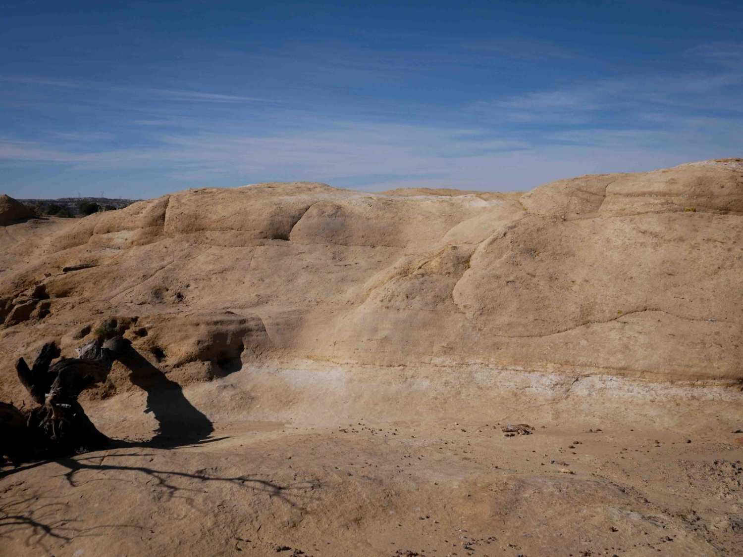
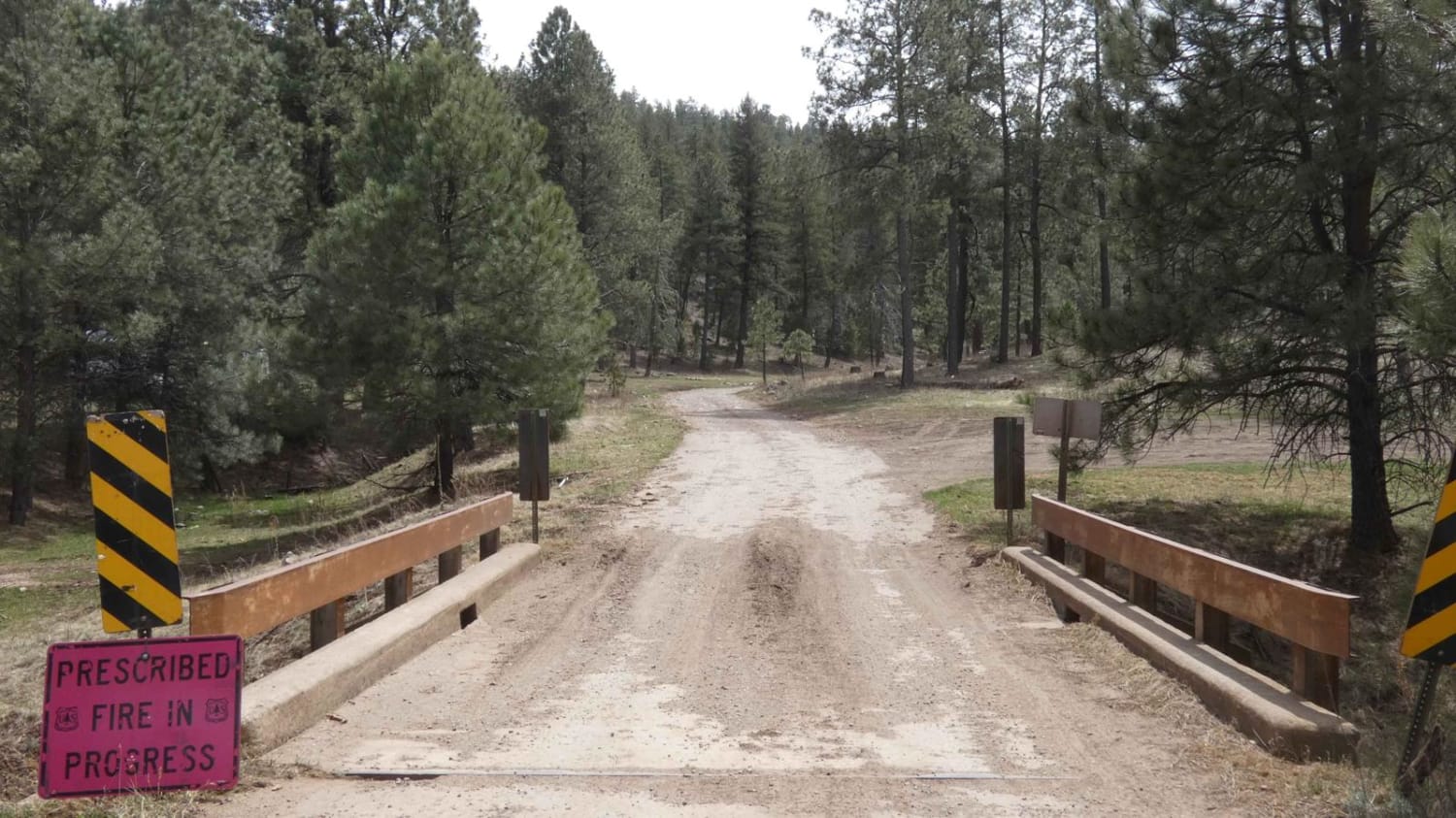
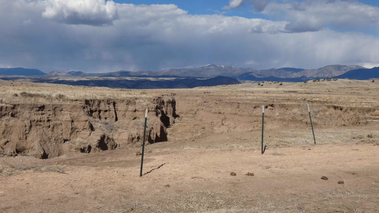
Seven HL Ridge is the furthest northeast trail that takes you just inside the foothills of the Black Range Mountains in the Gila National Forest. The entry point of this trail is clearly indicated and appears to have been moved due to heavy erosion in the area. The surface is comprised primarily of dirt with some loose rocks along the route, but there are no large obstacles. Additionally, there are a few small sandy washes in the lower sections of the trail, as well as a few short steeper grades. The trail begins on a nice wide two-track with room to pass if needed and begins to narrow towards the end before intersecting with Pole Canyon/FSR-913, which connects to several other motorized trails open for exploring. Dispersed camping is permitted inside the NFS boundary approximately 4.8 miles from the trailhead, as well as a few designated spots where the trail passes through BLM land. When dry, the trail will easily be completed by most high-clearance 2WD and AWD vehicles, but due to the soft dirt located throughout the trail, this track will be soft mud after rain or snow. There is no cell service along the entirety of the trail.
Photos of Seven HL Ridge 4053N
Difficulty
While there are no large obstacles along the trail, drivers should be aware of the low-lying sandy washes that have the potential to be shallow water crossings after rain. Additionally, there are some shorter steep grades that will be slippery mud after rain and may be hard to complete.
Status Reports
Seven HL Ridge 4053N can be accessed by the following ride types:
- High-Clearance 4x4
- SUV
- SxS (60")
- ATV (50")
- Dirt Bike
Seven HL Ridge 4053N Map
Popular Trails

Hidden Trail

Dalton Canyon Loop

Rock Edge Well

Long Canyon to Board Canyon (FS271)
The onX Offroad Difference
onX Offroad combines trail photos, descriptions, difficulty ratings, width restrictions, seasonality, and more in a user-friendly interface. Available on all devices, with offline access and full compatibility with CarPlay and Android Auto. Discover what you’re missing today!

