Valle San Antonio Road
Total Miles
4.2
Technical Rating
Best Time
Spring, Summer, Fall
Trail Type
Full-Width Road
Accessible By
Trail Overview
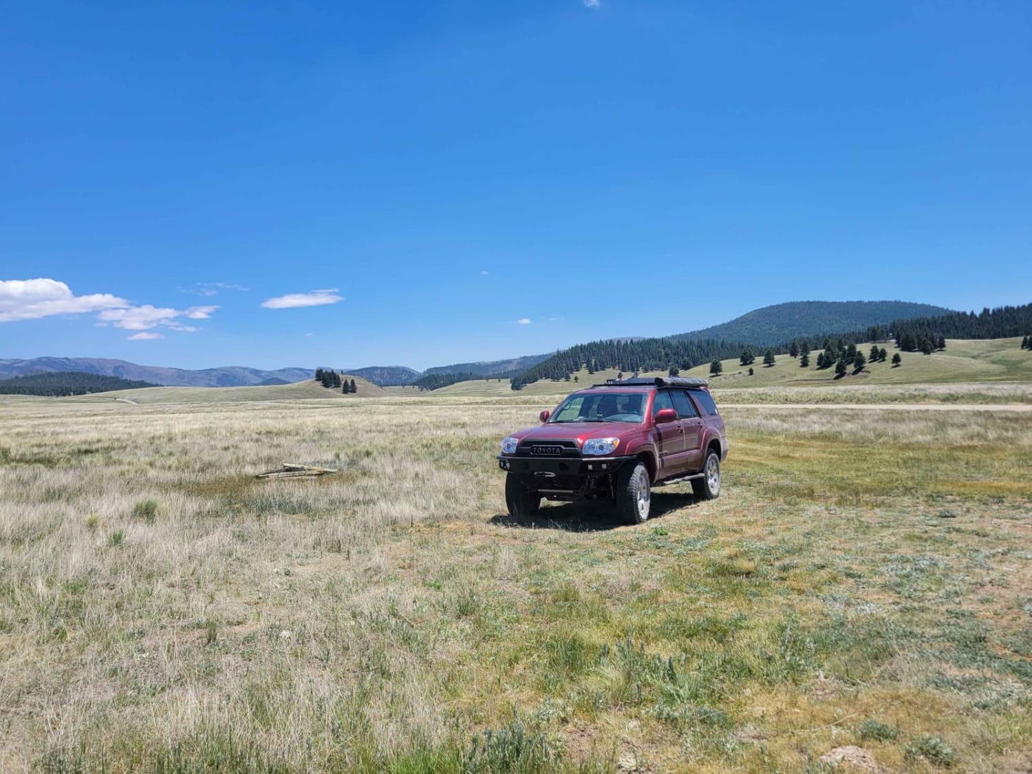
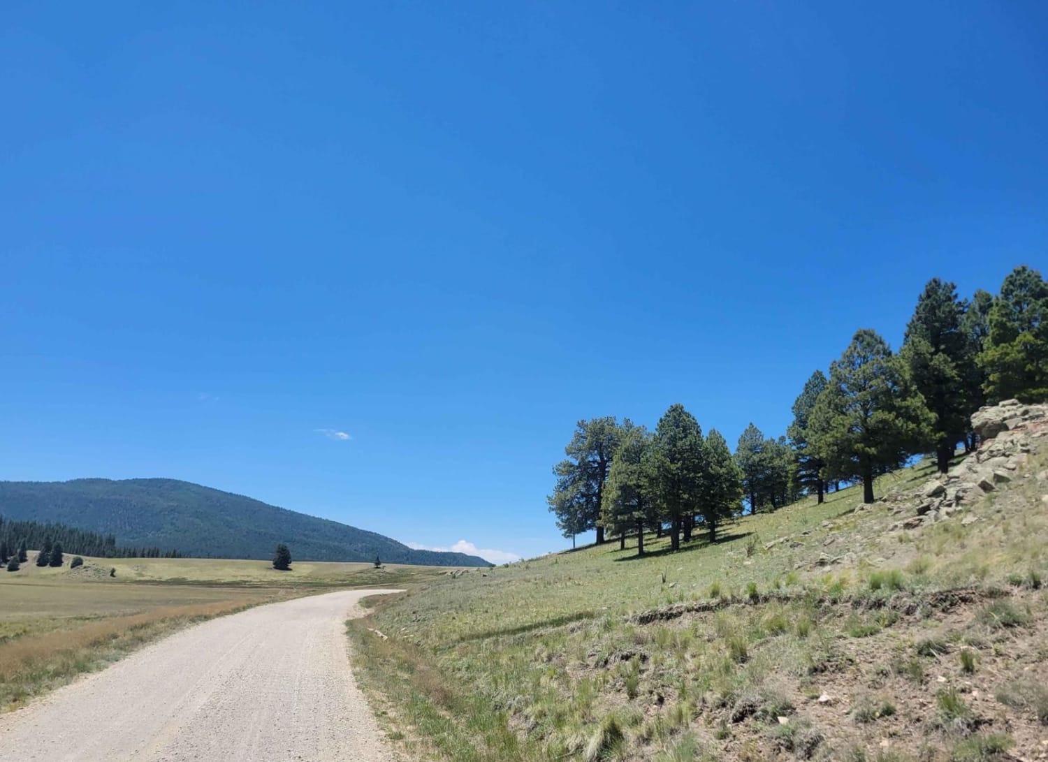
Valle San Antonio forms the main portion of the backcountry in the northern half of Valles Caldera. This wide valley has a small creek running through the bottom, with numerous opportunities for fishing and hiking, off the main road. This road starts from the T marking the end of the Valle Grande Edge route and heads west to the edge of the preserve. The roads here are well maintained, and horse corrals are available for those that want to haul in horses to explore the Caldera. Note that access to this trail requires a back country pass, which is limited to 35 per day. As of June 2023, the road is closed about 2/3 down its length due to a washout. The National Park Service is currently working to put in a culvert and fix the washout.
Photos of Valle San Antonio Road
Difficulty
Like all the roads in Valles Caldera, this road is a graded dirt road maintained by the National Park Service. The washout would be easily traversable, but due to erosion concerns access is currently limited.
Status Reports
Valle San Antonio Road can be accessed by the following ride types:
- High-Clearance 4x4
- SUV
Valle San Antonio Road Map
Popular Trails
San Lorenzo Canyon
Pucker Falls
Upper Gold Gulch
Wet Burnt Can
The onX Offroad Difference
onX Offroad combines trail photos, descriptions, difficulty ratings, width restrictions, seasonality, and more in a user-friendly interface. Available on all devices, with offline access and full compatibility with CarPlay and Android Auto. Discover what you’re missing today!
