Wet Burnt Can
Total Miles
4.2
Elevation
2,258.63 ft
Duration
0.5 Hours
Technical Rating
Best Time
Spring, Summer, Fall, Winter
Trail Overview
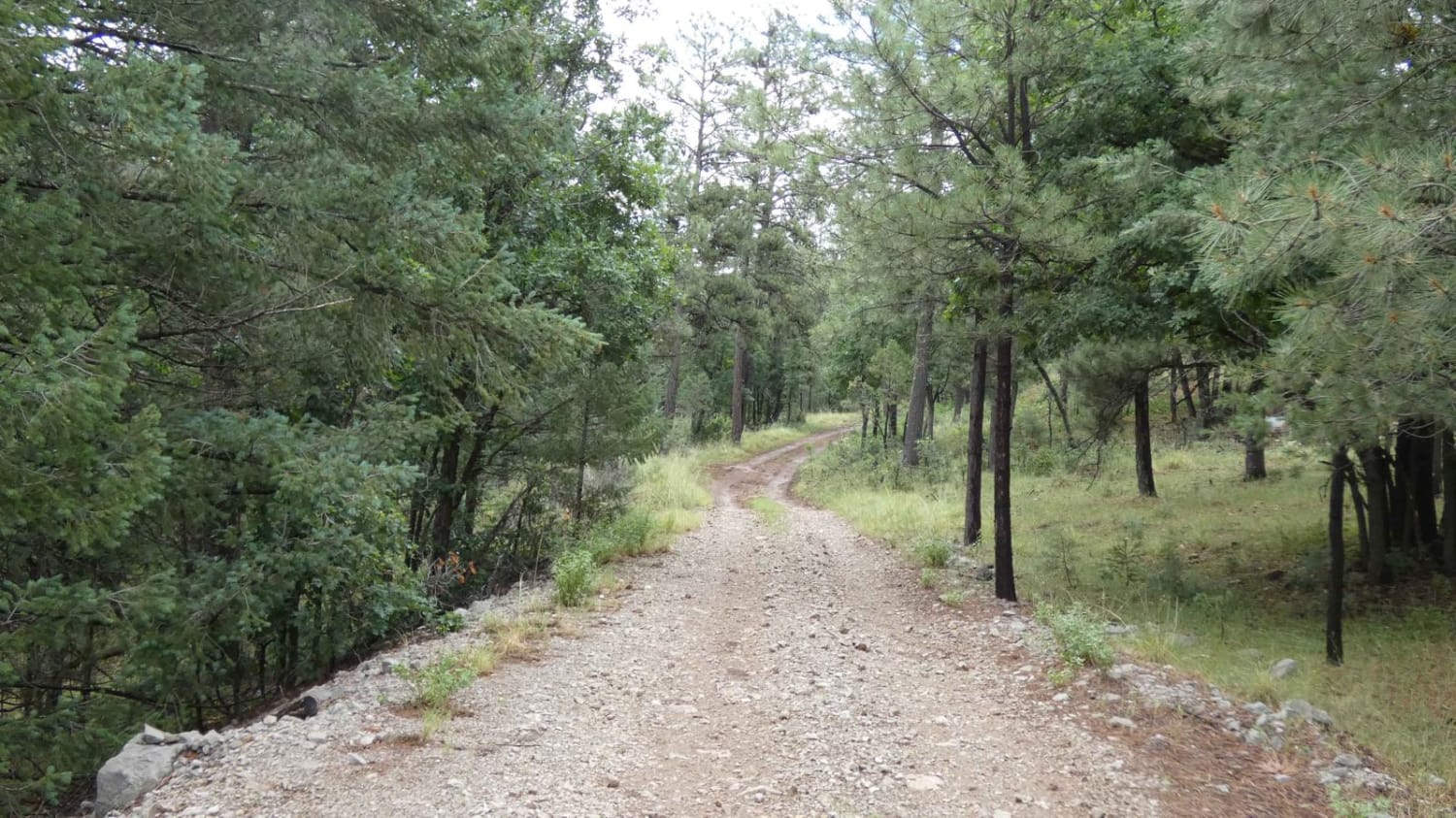
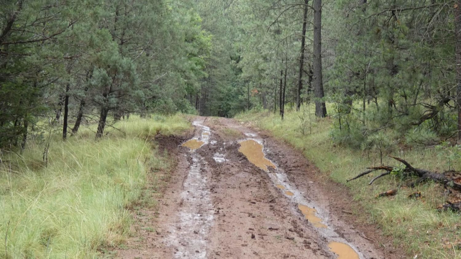
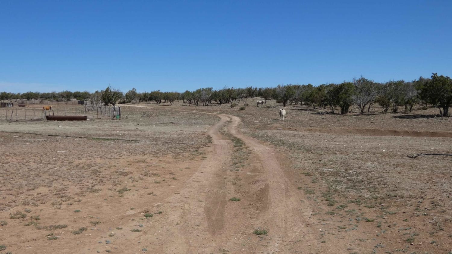
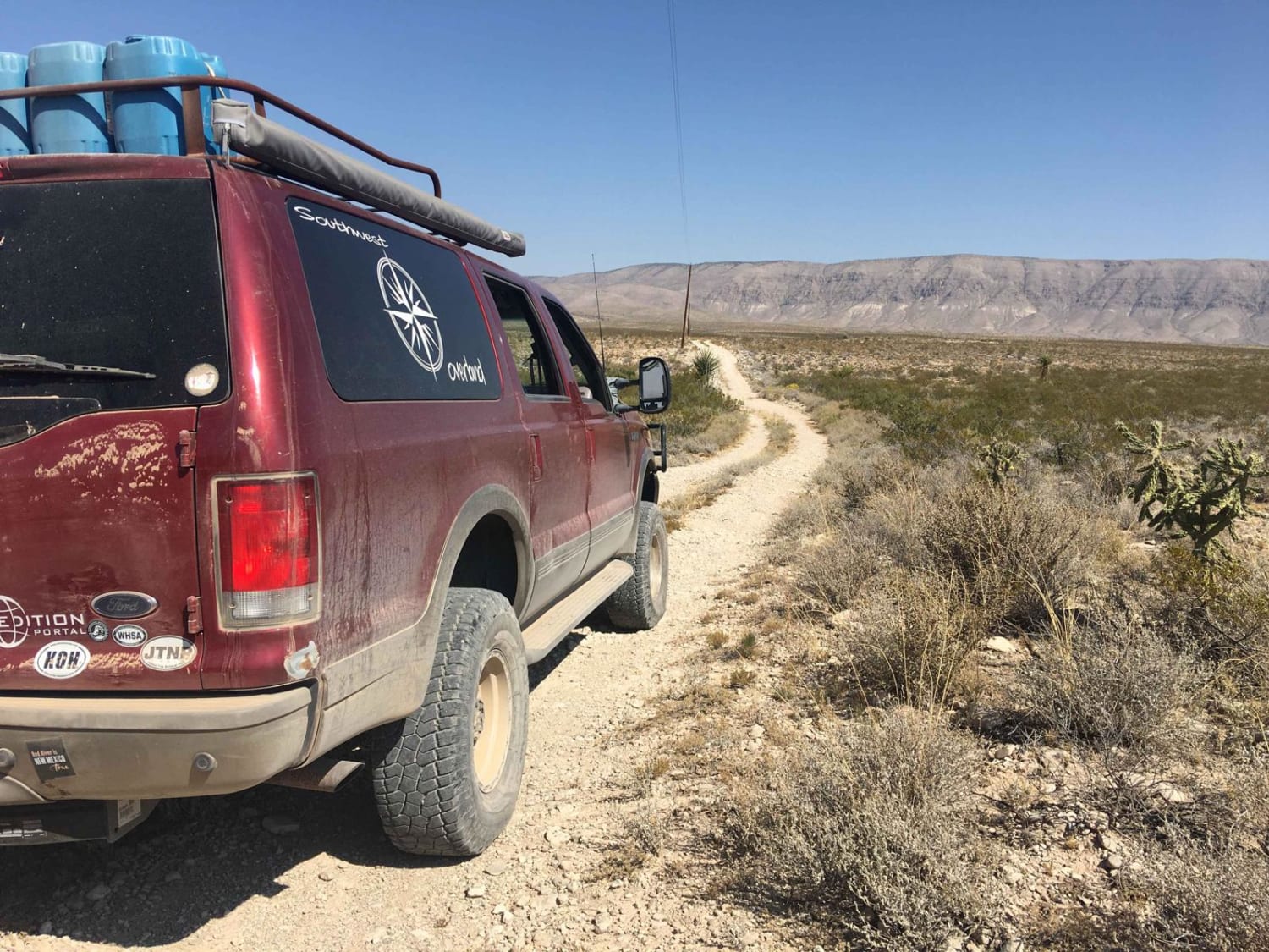
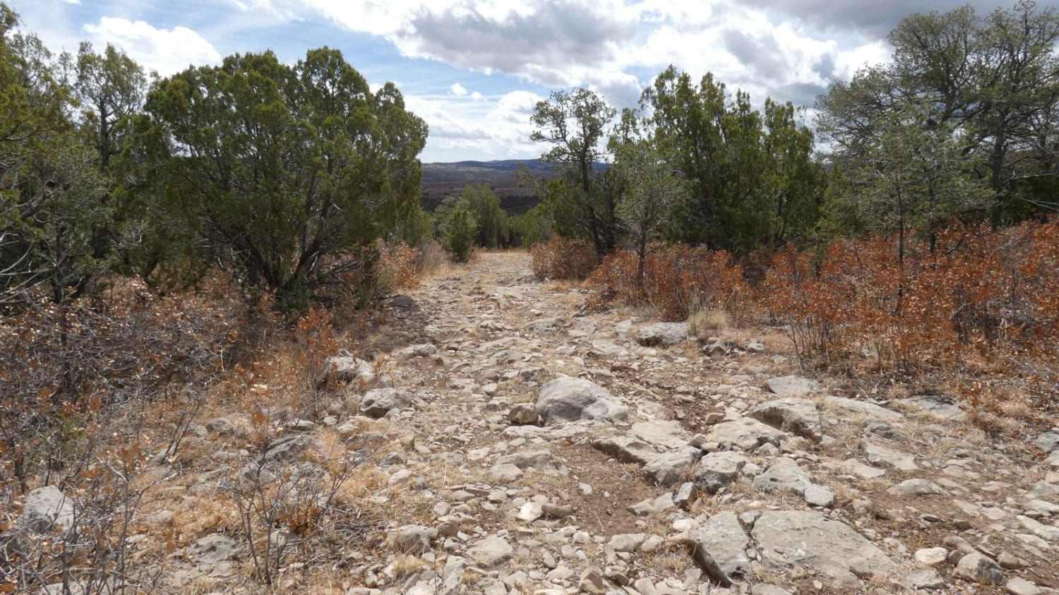
This out-and-back trail is a combination of dirt and rocks. While there are no obstacles larger than 10", there are some areas that have the potential to be shallow water crossings. During dry weather, the trail will be easily completed by most high-clearance 2WD and any AWD or 4x4. The track is primarily single-vehicle wide with room to pass if needed. Lined with taller thick trees towards the beginning, the trail opens up slightly just past the halfway point giving views of the surrounding hills. There are several spots great for dispersed camping throughout the length of the trail as well as a few unmarked hiking trails. Cell service is limited after the first mile and becomes very weak towards the end. During or after rain or snow melt the dirt surface becomes very slippery and will only be accessible by AWD or 4x4 vehicles. The trail is an out-and-back that ends at a small river bed just before a private land area.
Photos of Wet Burnt Can
Difficulty
Expect to encounter some slight rutting with a few low-lying areas that have the potential to be shallow water crossings after rain or snow melt. There are no obstacles larger than 10" along the trail with the exception of the river bed at the end. The dirt sections of the trail become very soft and slippery mud after rain or snow melt.
Status Reports
Popular Trails

Silver Monument
Cactus Canyon
The onX Offroad Difference
onX Offroad combines trail photos, descriptions, difficulty ratings, width restrictions, seasonality, and more in a user-friendly interface. Available on all devices, with offline access and full compatibility with CarPlay and Android Auto. Discover what you’re missing today!
