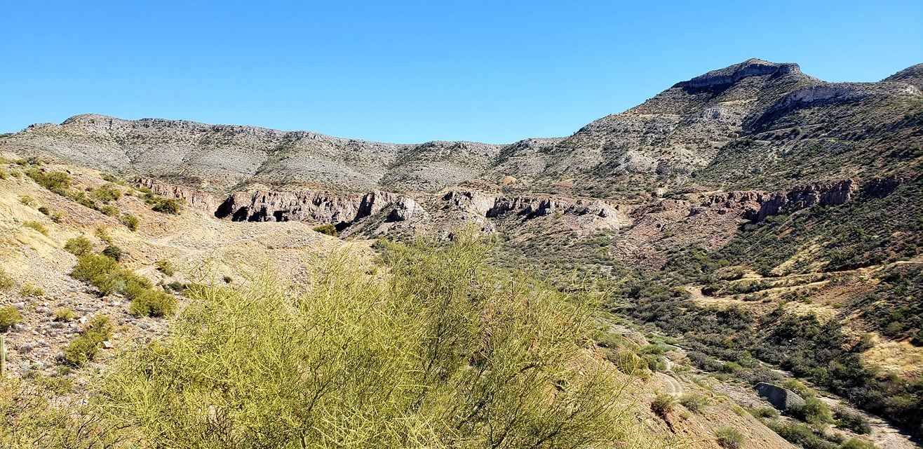
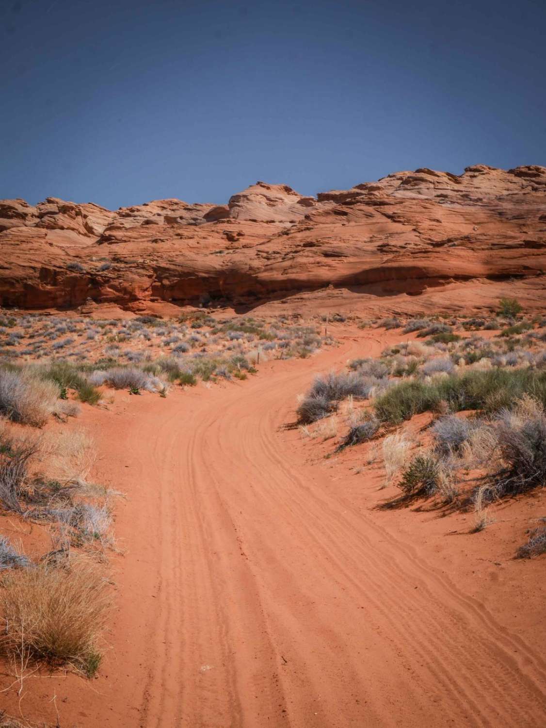
Sycamore Creek
Total Miles
11.7
Elevation
741.98 ft
Duration
3 Hours
Technical Rating
Best Time
Fall, Winter, Spring
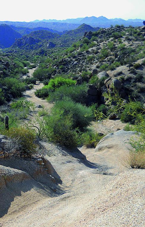
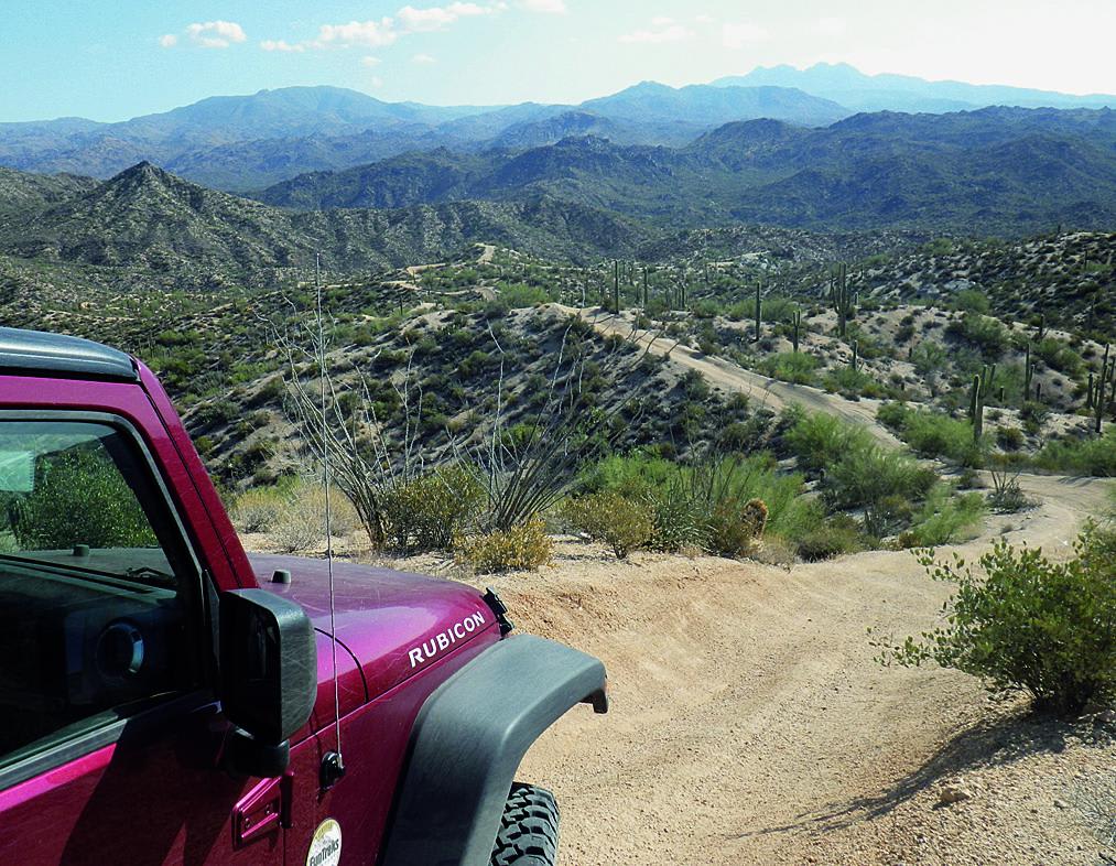
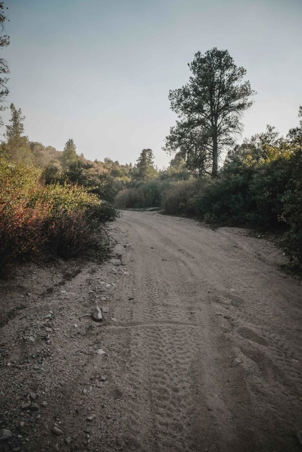
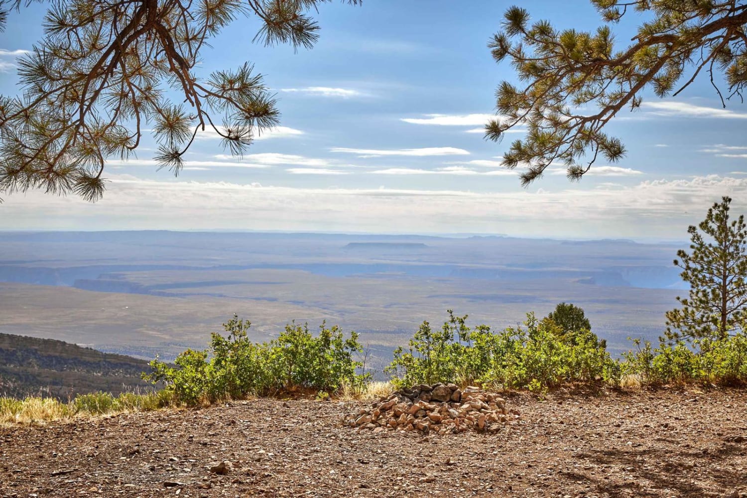
Trail Overview
The OHV trails here are extensive. You could spend days exploring this area. If you want a fun, challenging obstacle, try the canyon east of Squeeze Rock. ATVS, UTVs and dirt bikes will especially like this network of trails.
Photos of Sycamore Creek
Difficulty
Difficult: Although most of the route is easy to moderate, the northern loop is extremely steep and narrow. Be very careful as ruts and washouts are constantly changing. Turn around if necessary. Modified vehicles are best, but a skilled driver can do this trail in an aggressive stock high clearance SUV.
Status Reports
Popular Trails
Blue Monster Wash #526
Wash ORV Route
The onX Offroad Difference
onX Offroad combines trail photos, descriptions, difficulty ratings, width restrictions, seasonality, and more in a user-friendly interface. Available on all devices, with offline access and full compatibility with CarPlay and Android Auto. Discover what you’re missing today!