Monroe Mountain Road
Total Miles
4.9
Elevation
2,214.88 ft
Duration
0.5 Hours
Technical Rating
Best Time
Spring, Summer, Fall
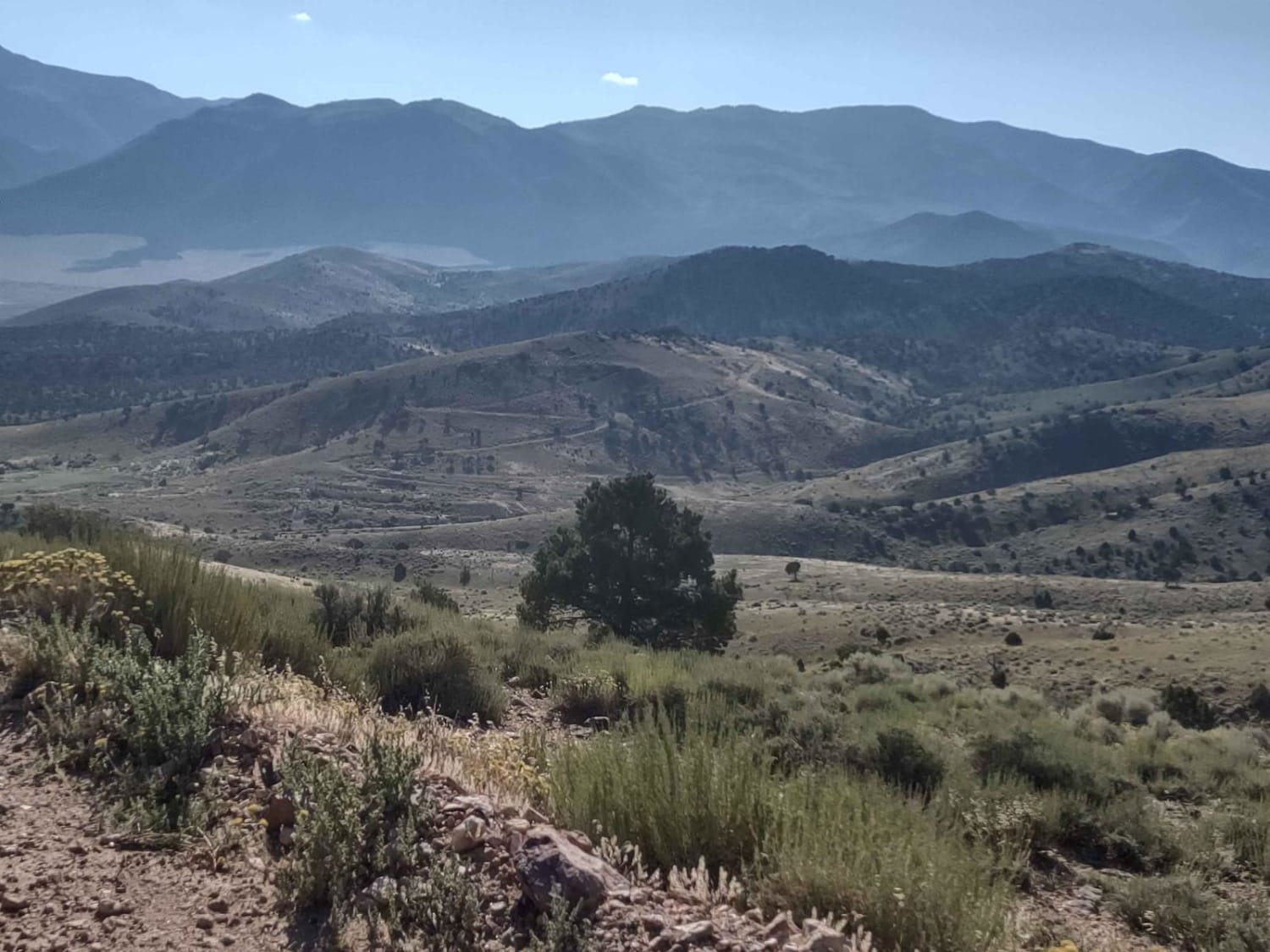
Trail Overview
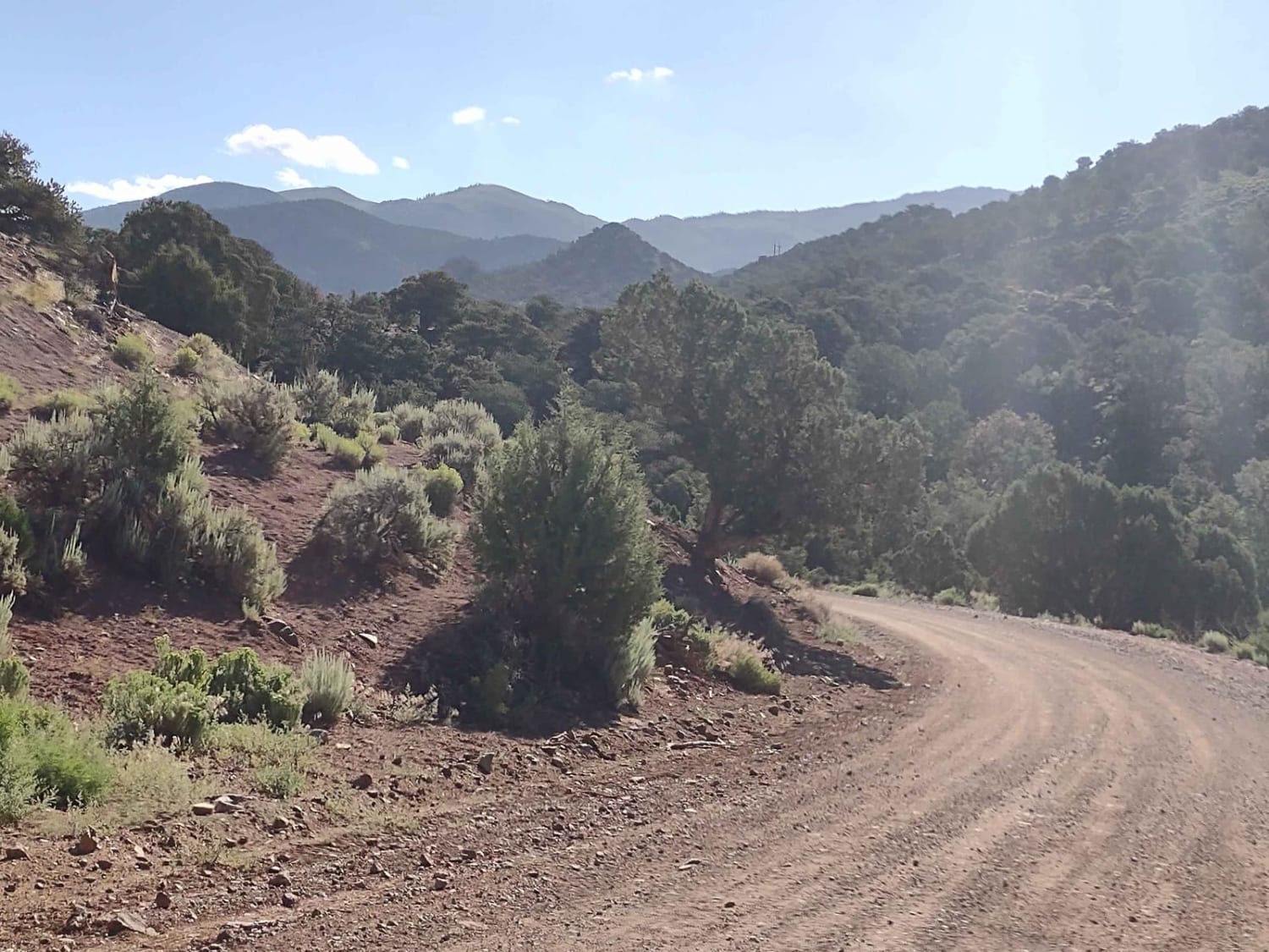
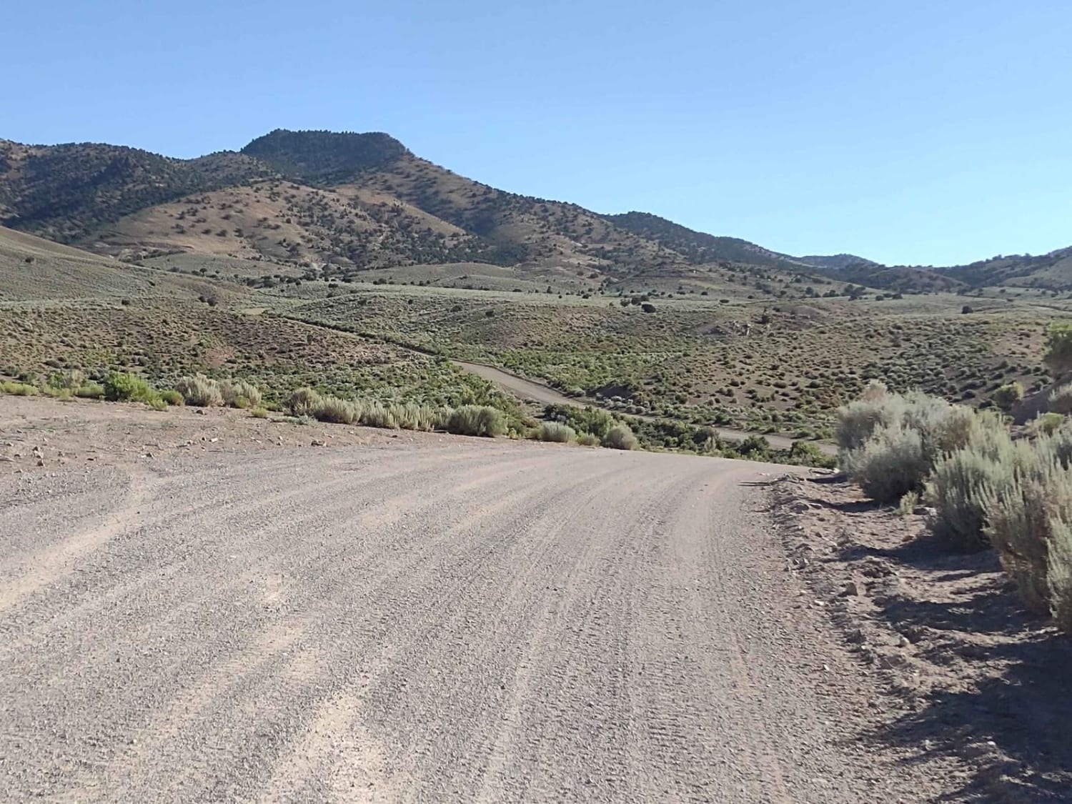
This two-track trail runs through BLM lands north of Marysvale, UT, and the BLM gave it the name on their map "Monroe Mtn Rd." It doesn't lead up to Monroe Peak directly, but we used their name to be consistent. This full-width trail climbs the foothills below the Sevier Plateau, moving generally NW to an elevation of 7269 feet. You move through the pinion pine trees and sagebrush. The road is a good road to begin but turns into a good trail before you reach the end. Beautiful scenery abounds as you wind through and around the foothills. Don't forget, to off-road in Utah, you need the online education course certificate and an OHV sticker.
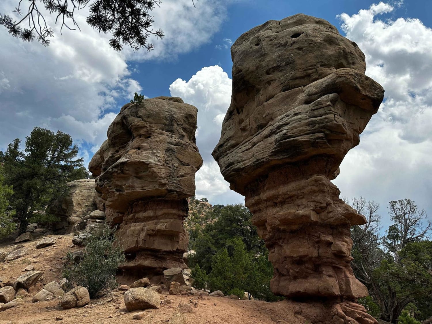
Photos of Monroe Mountain Road
Difficulty
This is a good road/trail, and it's easy.
Status Reports
Popular Trails
Waterfall Trail
Unforgiven
Tabby Mountain Loop
Joseph to Marysvale
The onX Offroad Difference
onX Offroad combines trail photos, descriptions, difficulty ratings, width restrictions, seasonality, and more in a user-friendly interface. Available on all devices, with offline access and full compatibility with CarPlay and Android Auto. Discover what you’re missing today!