Backway to Mount Lemmon
Total Miles
47.7
Elevation
2,410.90 ft
Duration
3 Hours
Technical Rating
Best Time
Summer
Trail Overview
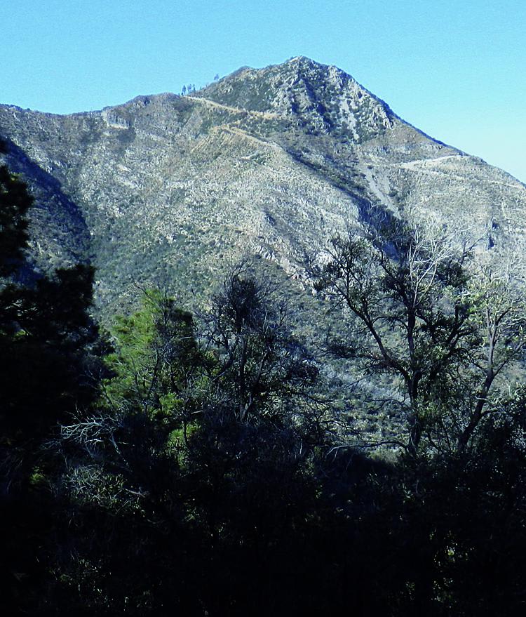
Many drivers opt to skip this unremarkable backroad. There is a 6-mile section of the road that climbs and winds up the mountain, but other than that, it is pretty uneventful. Unlicensed vehicles are okay on Forest Road 38, but Rice Peak is your more appealing option.
Photos of Backway to Mount Lemmon
Difficulty
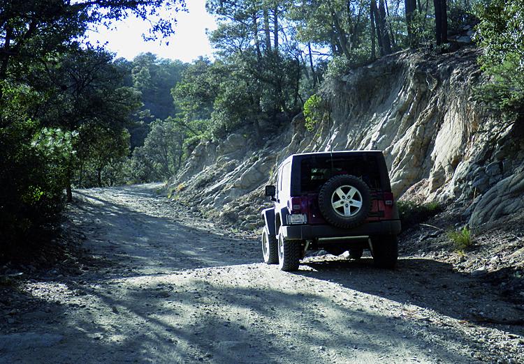
Easy: Most of the road is smooth gravel. The upper part gets a little rougher, but any 4-wheel-drive SUV can do it. Very dusty when dry.
History
The area is slowly recovering from the 2003 Aspen Fire, which burned over 84,000 acres and destroyed 340 homes and businesses in the town of Summerhaven at the top of the mountain.
Status Reports
Popular Trails
Wrangler's Nest Trail
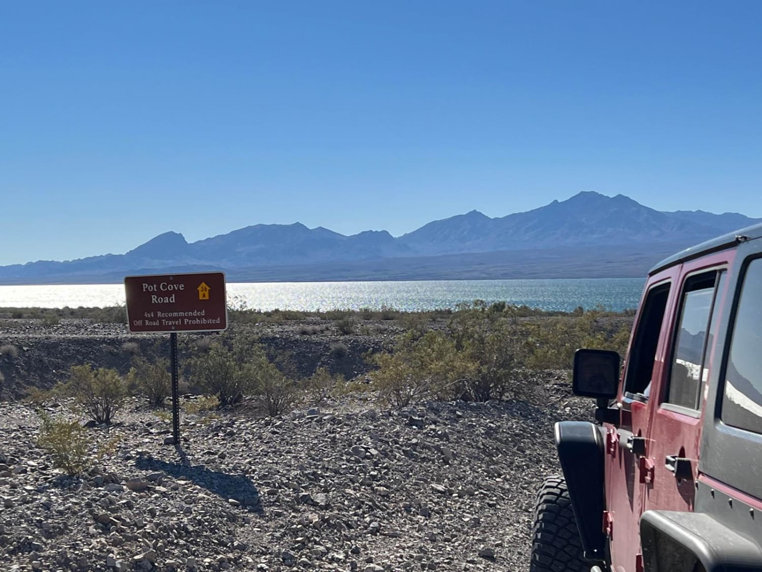
Pot Cove Road
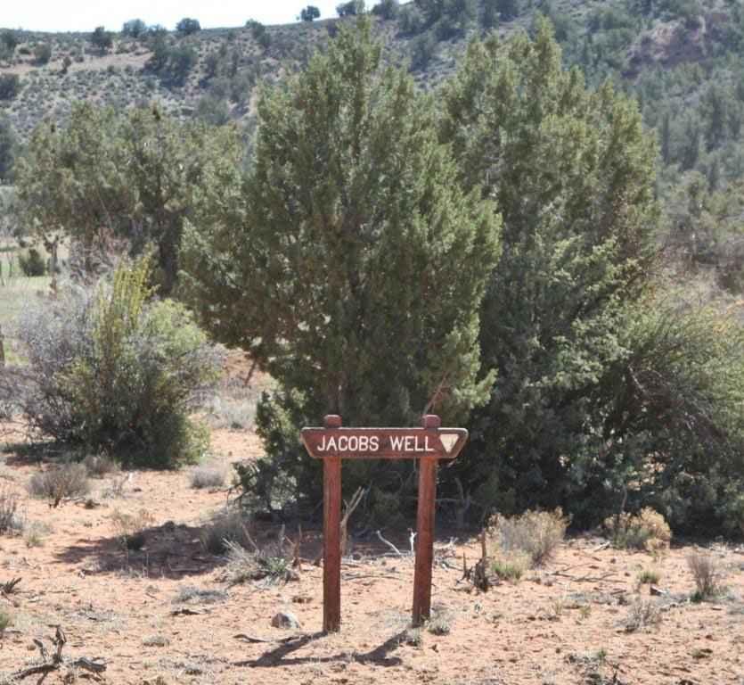
Jacobs Well to Brumley Well (County 101)
The onX Offroad Difference
onX Offroad combines trail photos, descriptions, difficulty ratings, width restrictions, seasonality, and more in a user-friendly interface. Available on all devices, with offline access and full compatibility with CarPlay and Android Auto. Discover what you’re missing today!
