Bloody Basin Road
Total Miles
38.0
Technical Rating
Best Time
Spring, Summer, Fall
Trail Type
Full-Width Road
Accessible By
Trail Overview
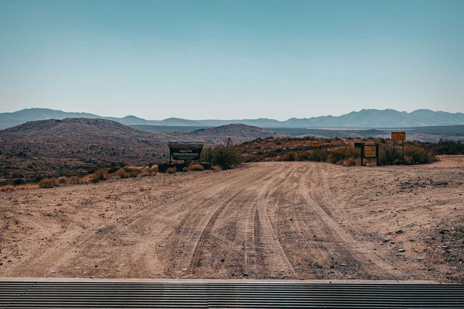
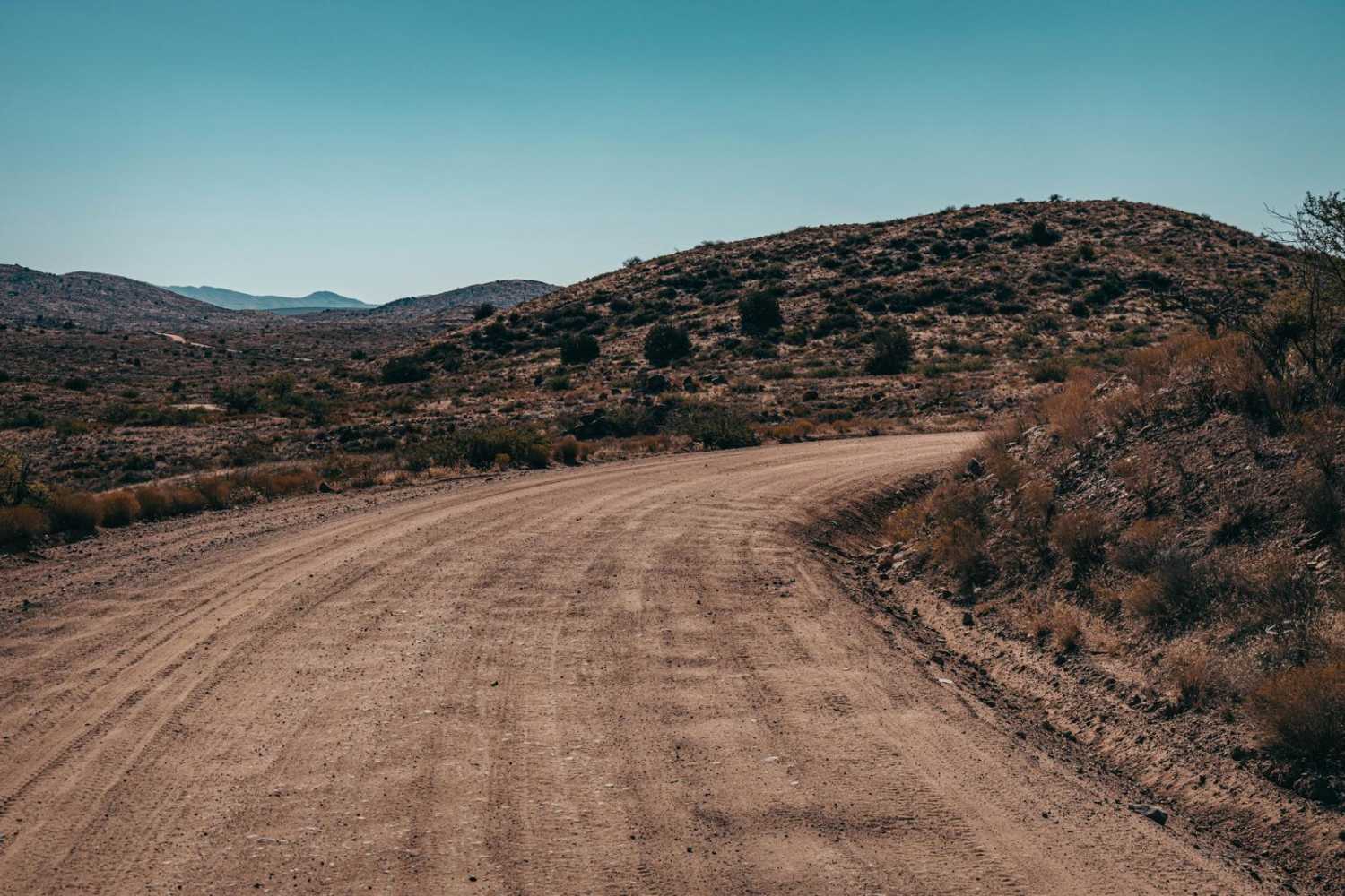
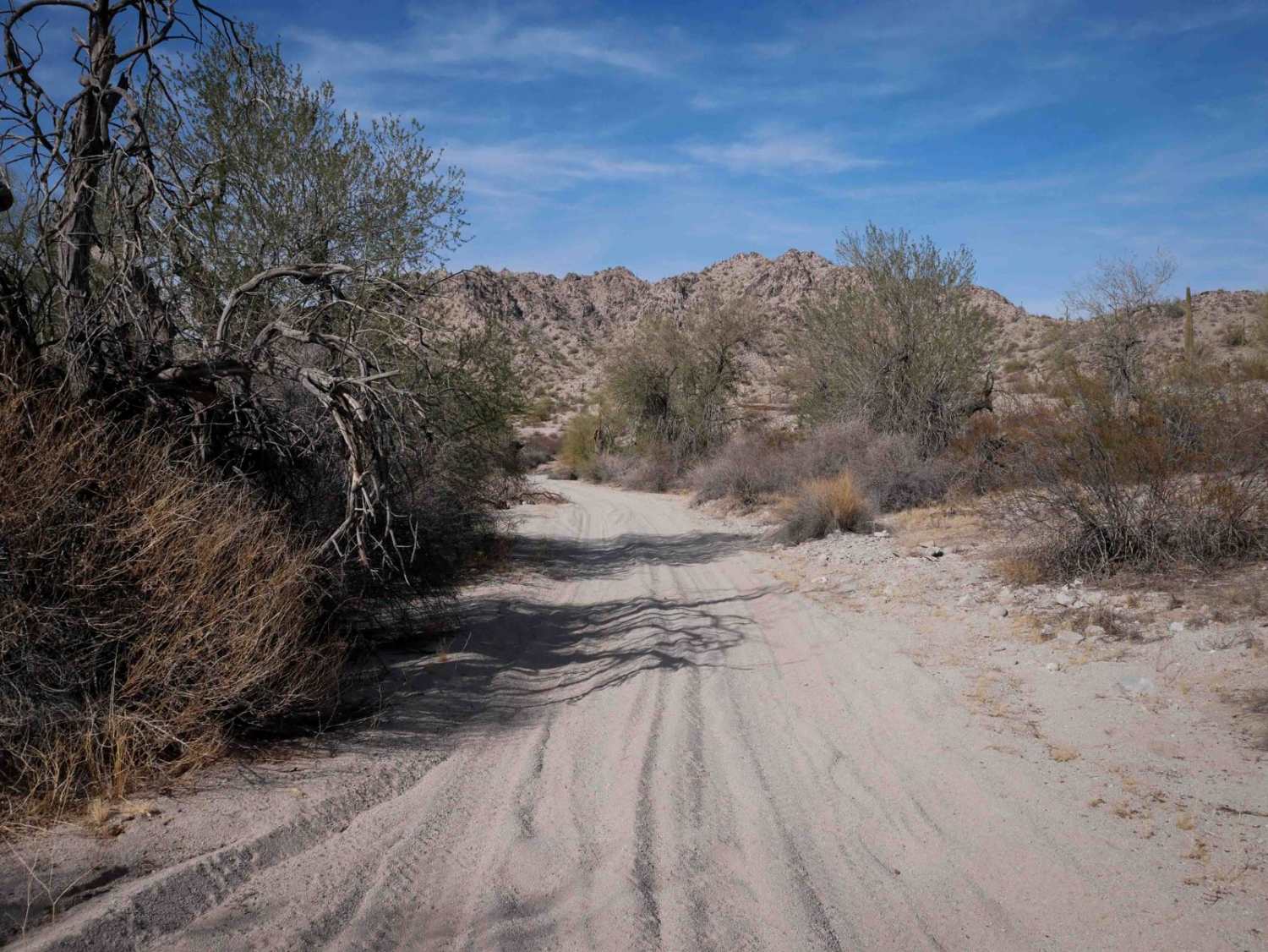
Bloody Basin Road is a forest road that goes through the Agua Fria National Monument and Tonto National Forest in Arizona. This road takes you by archaeological sites and petroglyphs as you wind up and down the ranges and hills. The trail is an out-and-back that terminates at a large turnaround by the Sheep's Bridge. Sheeps Bridge is a walking bridge that goes over the Verde River and is a popular destination for both soaking in the hot spring (North of the bridge on the West Side) as well as camping and recreating. The road starts as a wide forest road with washboard sections and is typical of this area. East of Tangle Creek, the road becomes decidedly rougher, with numerous wash crossings, rock gardens, and ledges. Sections of this road turn into shelf roads, traversing up and down the sides of steep hills with many switchbacks and blind corners. There are many campsites that can accommodate all different sizes of vehicles and trailers, and some even include primitive rock fire rings. As always, please check local forest regulations if you do decide to have a campfire, as this area is prone to large and uncontrollable wildfires. As you proceed Eastward, you'll encounter more areas where erosion and water damage exist on the trail, with potential for vehicle damage if the correct line isn't chosen. There is limited cell service on this trail, especially the further East you go. There are many offshoot trails that lead to different sections of the forest, so feel free to explore, but not all trails are equal, so you'll want to be prepared as you venture deeper into this area.
Photos of Bloody Basin Road
Difficulty
This is a wide forest road with shelf road sections, steep inclines, and declines on loose rock and material, as well as rock gardens and water damage that can damage vehicles. Caution is urged. Many wash crossings might become hazardous if this trail is visited during monsoon season or after a moisture event.
Status Reports
Popular Trails
Eastern Entrance for Sears Point
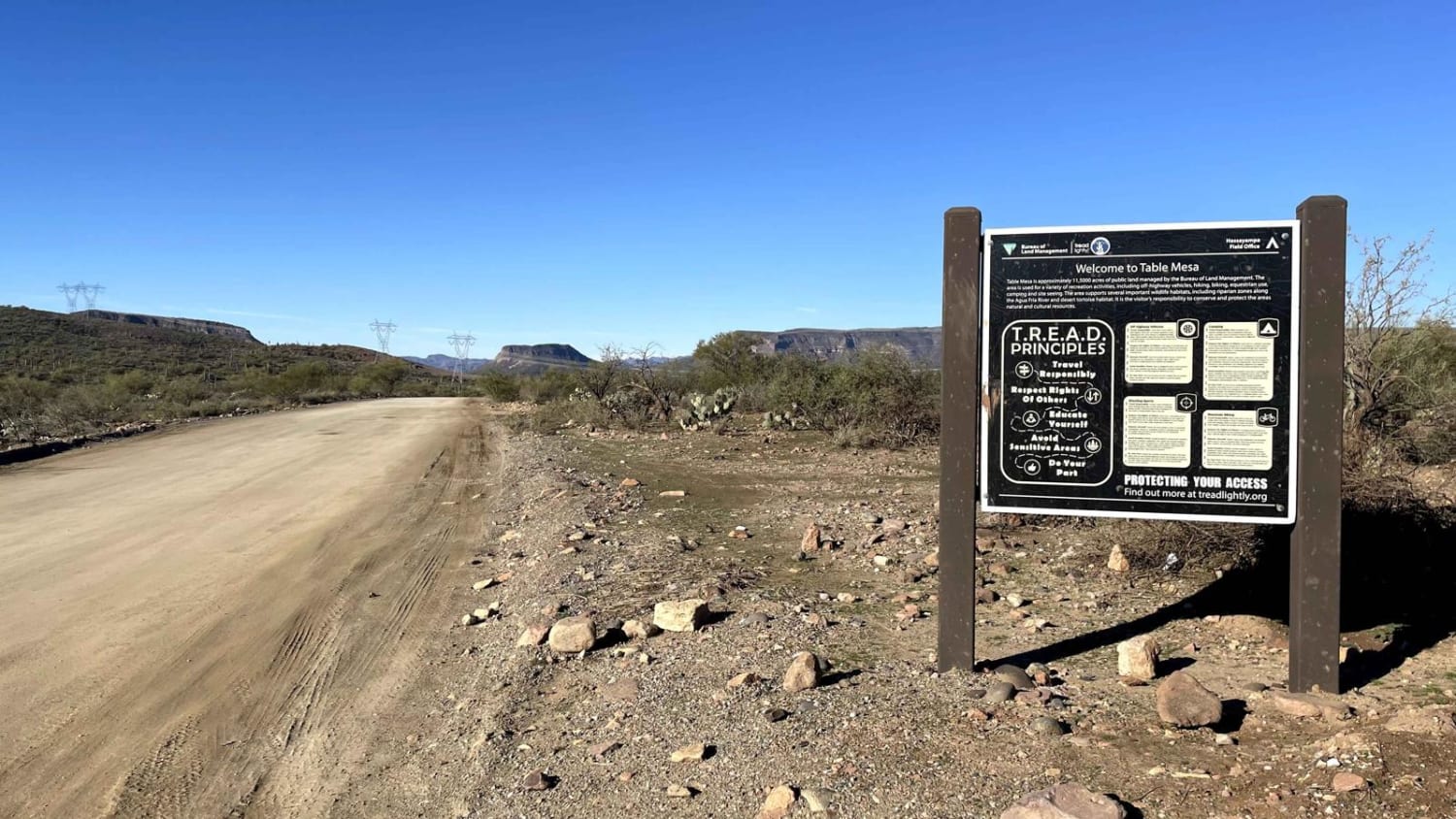
Table Mesa Road

Jam Ranch
The onX Offroad Difference
onX Offroad combines trail photos, descriptions, difficulty ratings, width restrictions, seasonality, and more in a user-friendly interface. Available on all devices, with offline access and full compatibility with CarPlay and Android Auto. Discover what you’re missing today!
